Pat & I have occasionally taken some time away from our cabin to explore the Manzano Mountains. For this trip, we drove the length of Forest Road 422, which goes the length of the Canyon.
The Drive In
Sadly, I didn’t record a GPS track for the drive. Roughly we took NM 55 south from Manzano, to a quarter mile beyond Punta de Agua, then turned right on B052, 2 miles to turn right on B054. Five miles on, we entered the Cibola National Forest where the road became FR 275, also named Kayser Mill Road. About 5 miles further, 275 Ts into FR 422 where we turned left. Nearing lunch time, we just pulled off of 422 onto a two track, drove a few yards and parked. After lunch we returned to FR 422, continuing south to US 60.
The Hike
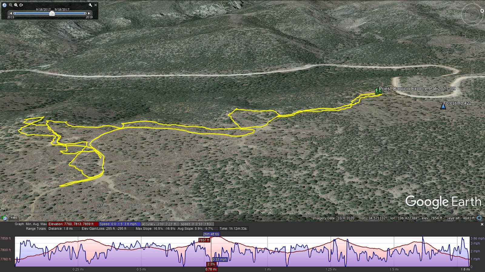
Priest Canyon Explore.Pat.2017-09-18
Notes about the Google Earth screenshot: the graph at the bottom shows elevation of the track (pink area) and speed (the blue line).
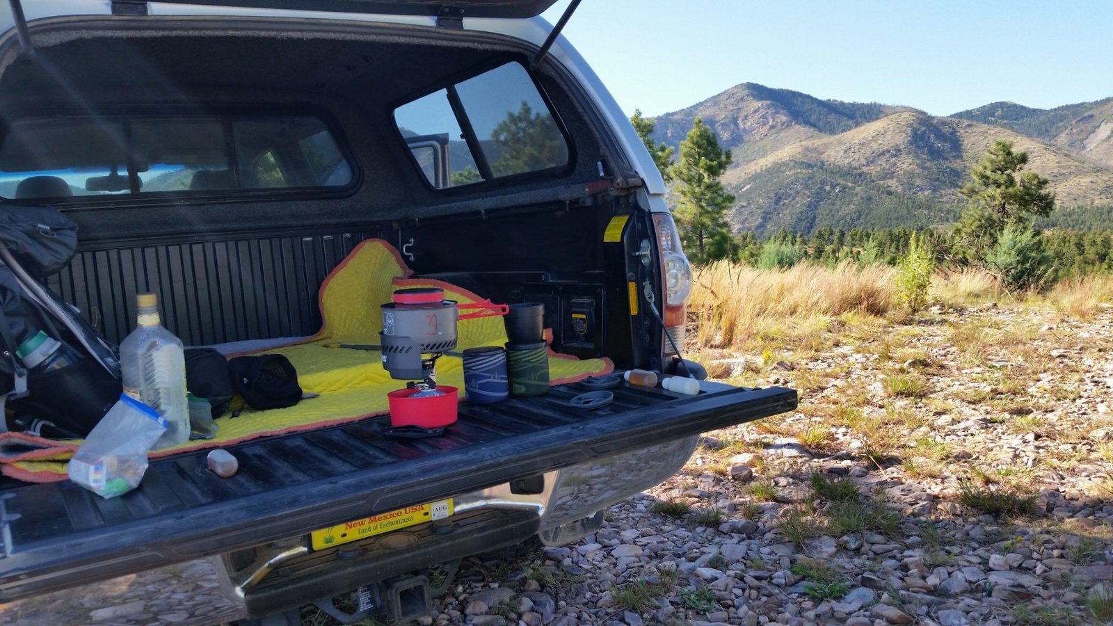
Our typical setup for our mid-hike break in those days: water from the gin bottle, pour-over coffee, a nip of mezcal (the small bottles), and snack bars of some kind.
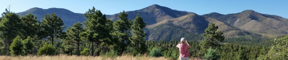
This was a spontaneous walkabout, towards what looked like a nice overlook where we could have lunch. And so it was, with a view south, down Priest Canyon towards highway US 60.
Statistics
Total Distance: 1.8 miles
Elevation: start 7,760 ft, maximum 7,859 ft, minimum 7,760 ft
Gross gain: 99 ft. Aggregate ascending 295 ft, descending 295 ft
Maximum slope: 17% ascending, 17% descending, 5.8% average
Duration: 1:13
| GPS Track Files for Download | |
340 Downloads | |
|---|---|
212 Downloads | |
If you haven’t explored these hiking tracks with Google Earth, I urge you to try it. With the virtual 3-dimensional presentation, achieved by panning and tilting the view, you can get a much better idea of the hikes and terrain than you can get from the screenshot above. For some ideas, check out Using Google Earth Track Files.