The Hike
Ravens Ridge.Jay.2016-06-12
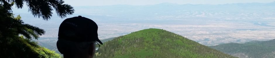
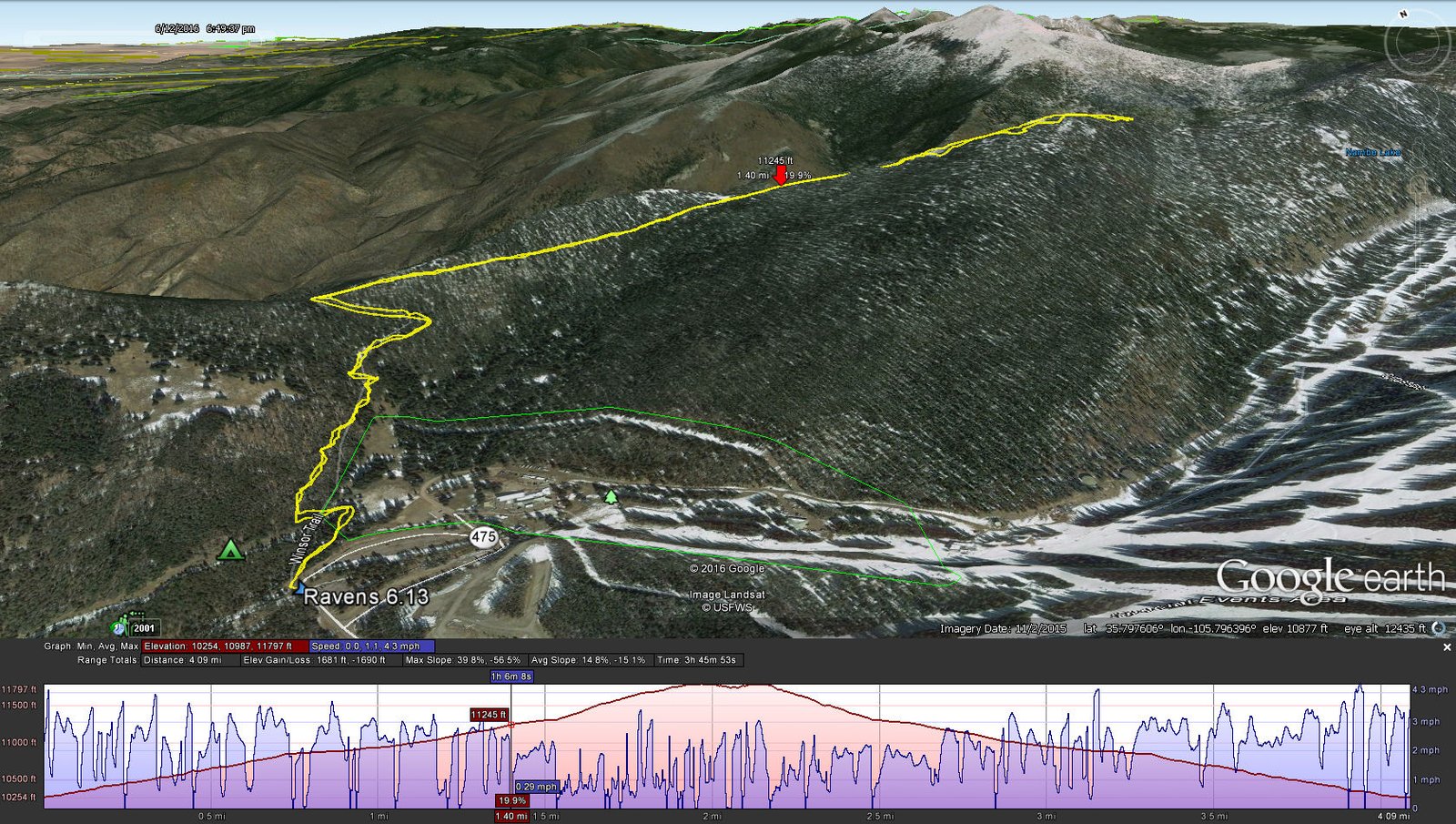
Wow, what a hike. The highest and greatest elevation gain yet this year. And our first foray into the Sangre de Cristo mountains. The hike begins Ski Santa Fe parking lot and proceeds -up-.
Statistics
Total Distance: 4.09 miles
Elevation: 10,262 start, 11,809 maximum, 10,262 minimum
Gross gain: 1,547. Aggregate ascending 1,706, descending: 1,720
Maximum slope: 41% ascending, 53% descending, 15% average
Duration: 3:45
| GPS Track Files for Download | |
201 Downloads | |
|---|---|
166 Downloads | |
If you haven’t explored these hiking tracks with Google Earth, I urge you to try it. With the virtual 3-dimensional presentation, achieved by panning and tilting the view, you can get a much better idea of the hikes and terrain than you can get from the screenshot above. For some ideas, check out Using Google Earth Track Files.


