We’ve been intrigued by the stories told by Nasario Garcia, of his childhood in the Rio Puerco. This day, we embarked on an expedition (and hike) to explore the area where we thought his stories took place.
I began by using Google Earth, attempting to identify locations that seemed to be consistent with descriptions in his book “Hoe, Heaven, and Hell: My Boyhood in Rural New Mexico“. I watched again the PBS video, “Nasario Remembers the Rio Puerco – New Mexico PBS”, and found views of the horizon in the video that I could match up with views in Google Earth. Having identified a plausible location, then because the roads into the Rio Puerco aren’t marked and wind about a lot, I let Google Earth plot a route from Bernalillo to the area of interest (see the Sketch .kml file below).
The Drive In
 The drive in was uneventful – the roads were dry, we won’t ever go into the Rio Puerco when they are the least bit wet. At the last turn on the Sketch we found that the road had been washed out, this about .5 miles from our destination.
The Hike
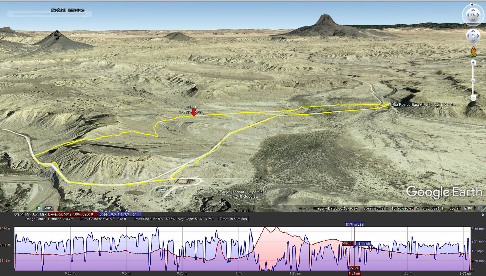
Rio Puerco East Hike.Pat.2018-03-14
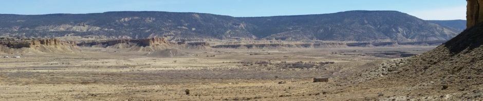
Being so close, we set out afoot, to hike from there. We soon came upon a two-track which made the going easy. We passed by buildings that we think might indeed match the descriptions in the book and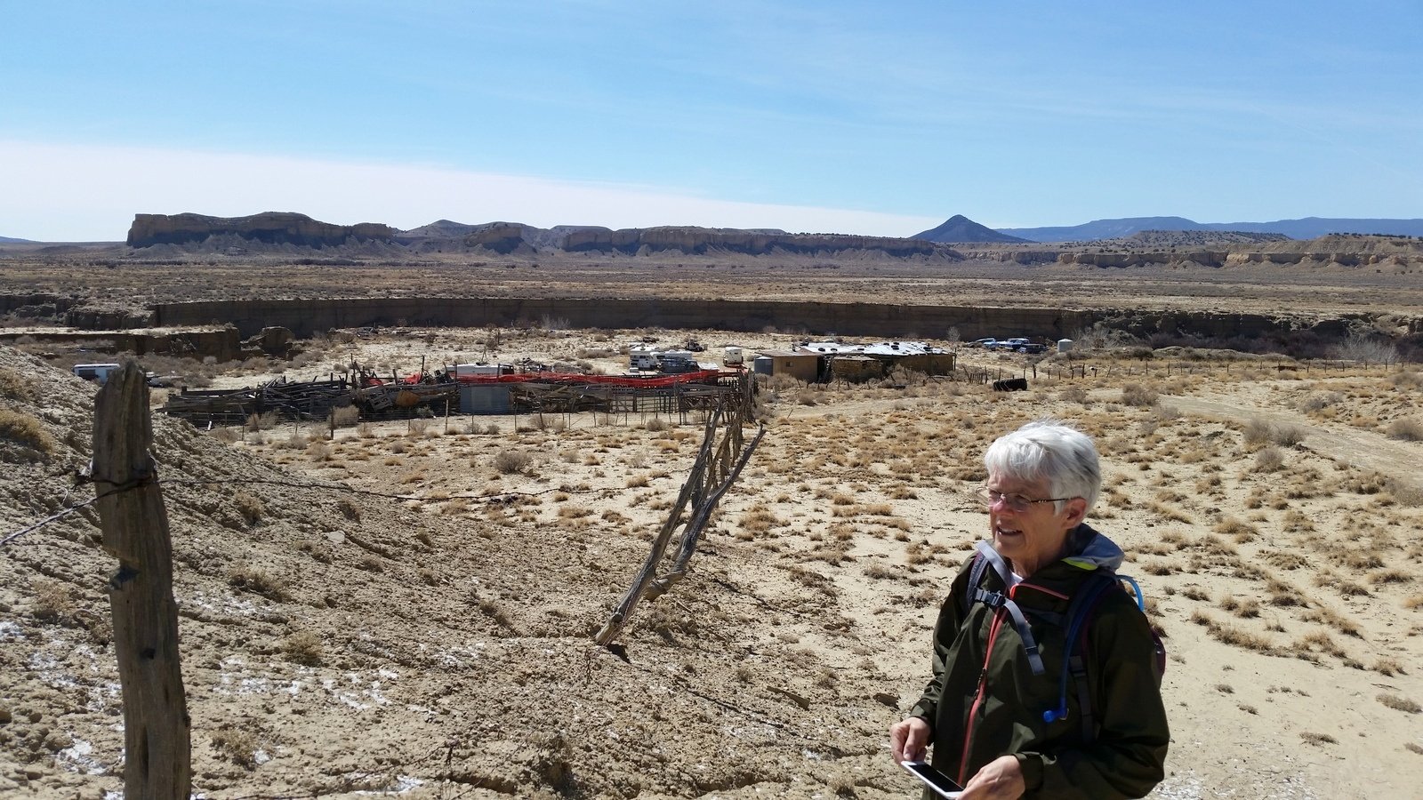 video. As we rounded the mesa above the homesteads, we chose to climb up to its top; the view of the Rio Puerco valley was amazing – the Rio Puerco itself, the many volcano plugs, and Mesa Prieta to the east and Chivato Mesa on the horizon to the west.
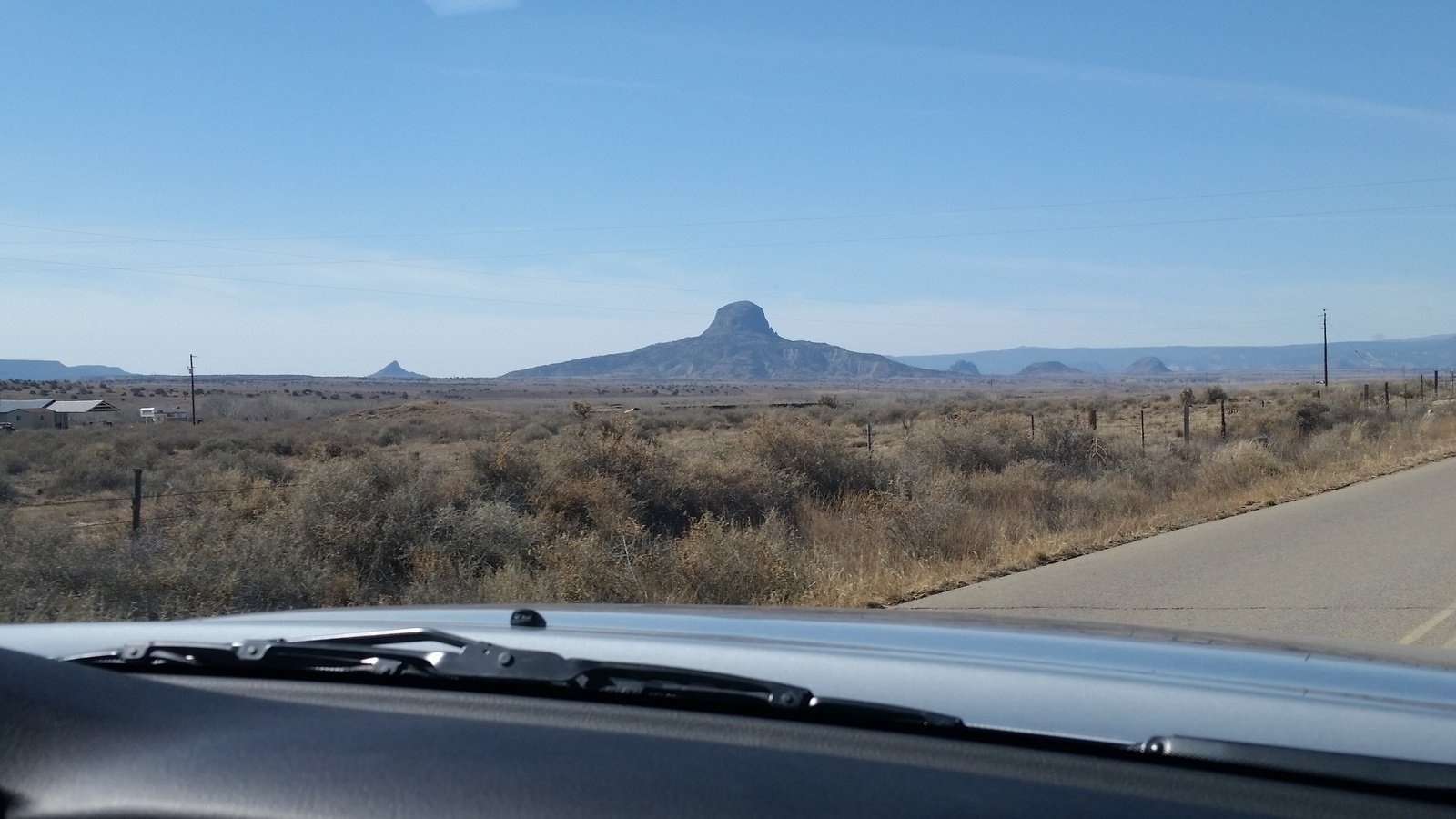
We returned to the truck and had our mid-expedition coffee and snack break. Then, hoping to find a point from which we could approach the west side of Mesa Prieta, we continued on down the road towards Casa Salazar. However, the road enters private property about a mile past where we started our hike. We explored a couple of other roads but again found private property with locked gates. So we headed home.
Statistics
Total Distance: 2.03 miles
Elevation: start 5,875 ft, maximum 5,960 ft, minimum 5,849 ft
Gross gain: 111 ft. Aggregate ascending 318 ft, descending 318 ft
Maximum slope: 63% ascending, 60% descending, 5.6% average
Duration: 1:54
| GPS Track Files for Download | |
482 Downloads | |
|---|---|
268 Downloads | |
345 Downloads | |
172 Downloads | |
I urge you to explore our hiking tracks with Google Earth. With the virtual 3-dimensional presentation, achieved by panning and tilting the view, you can get a much better idea of the hikes and terrain than you can get from the 2-dimensional screenshot above. For assistance: Using Google Earth Track Files.
References
New Mexico Magazine: Ghosts of the Río Puerco
City Of Dust: Nasario Garcia Remembers the Rio Puerco


