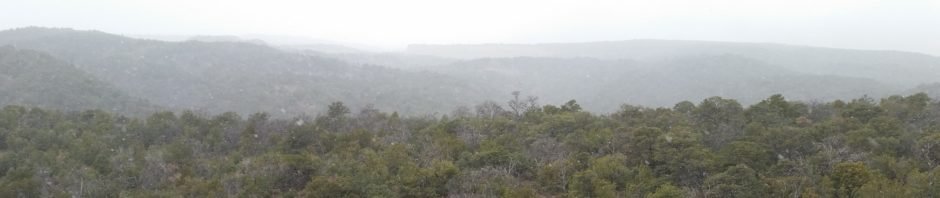
With uncertain weather in the area, we stayed close to home – revisited the Osha Spring Trail. It was cloudy and chilly with snow flurries throughout the day, especially as we went to higher elevations – much like on our last visit to Osha Spring Trail in 2015.
The Hike
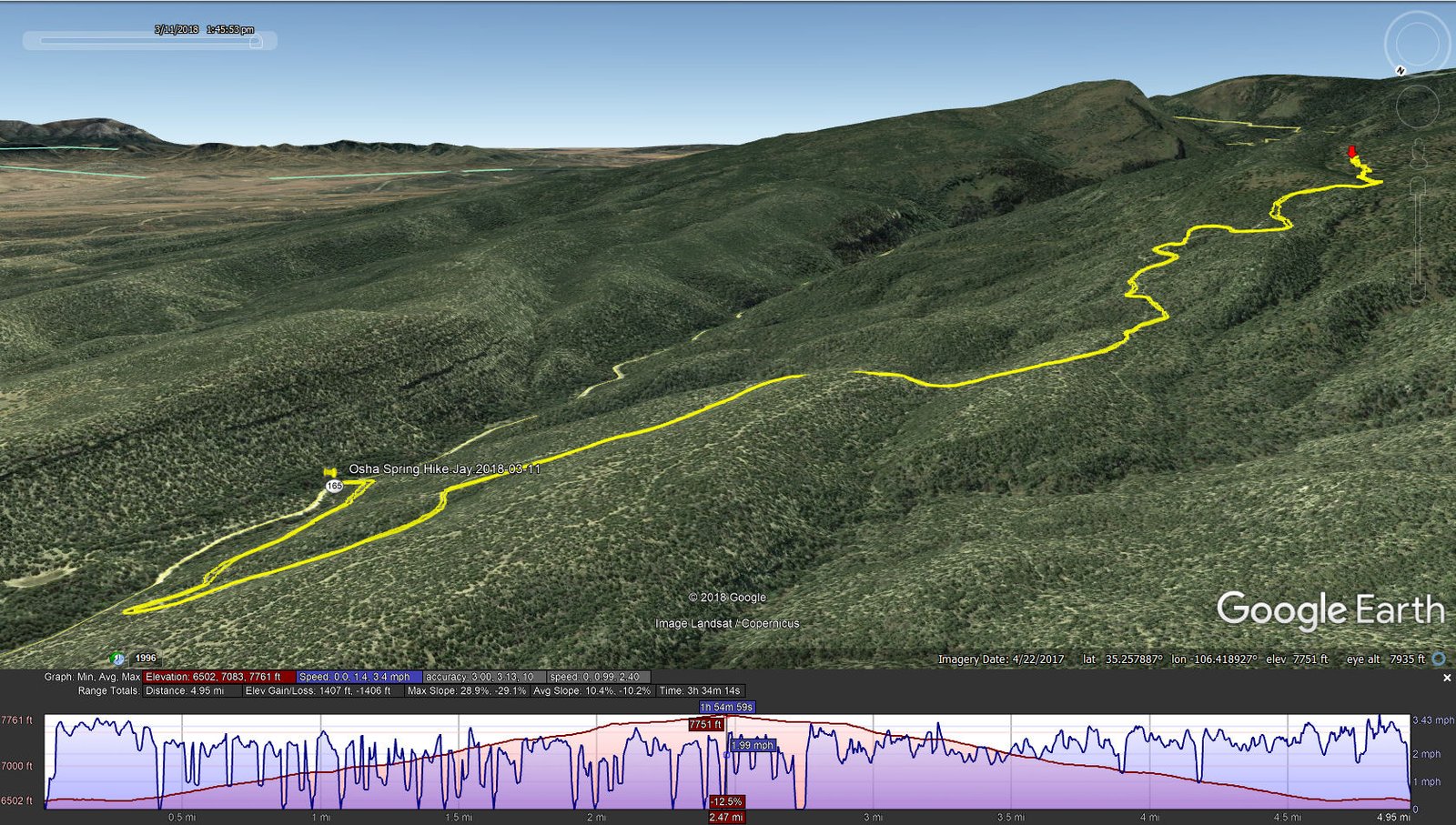
Osha Spring Hike.Jay.2018-03-11
Jay here: We like to think that there must be at least one hike every year where we are trekking in a snow storm and this was it. Ironically, a week later we outran a snow squall in the Ojito Wilderness. Maybe we are now under the “Two Snow Storm per Year” rule.
Statistics
Total Distance: 4.95 miles
Elevation: start 6,502 ft, maximum 7,771 ft, minimum 6,502 ft
Gross gain: 1,269 ft. Aggregate ascending 1,407 ft, descending 1,406 ft
Maximum slope: 29% ascending, 29% descending, 10% average
Duration: 3:34
| GPS Track Files for Download | |
325 Downloads | |
|---|---|
160 Downloads | |
198 Downloads | |
442 Downloads | |
I urge you to explore our hiking tracks with Google Earth. With the virtual 3-dimensional presentation, achieved by panning and tilting the view, you can get a much better idea of the hikes and terrain than you can get from the 2-dimensional screenshot above. For assistance: Using Google Earth Track Files.


