On so many trips driving south in I-25, we’ve passed right by the Sevilleta National Wildlife Refuge without any thought of visiting there. But after our trip to Bosque del Apache and a review we came across, we went to explore it.
The Drive In
Sevilleta NWR is very accessible, just 50 miles south of Albuquerque with its own exit from I-25 (milepost 169). The Visitors Center is west of the Interstate; to the east are the ponds with abundant waterfowl (an outpost of Bosque del Apache). In these days of Covid-19 the Visitors Center is closed, and a gate block drive-in entrance. It is a short walk to the Center and the trailheads for the 3 highlighted trails.
The Hike
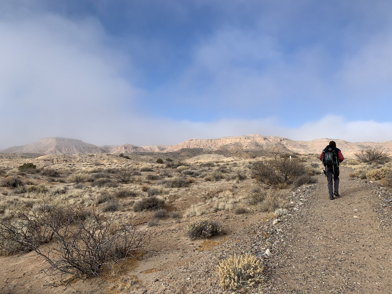
We came to hike, so we began on the Mesa View Trail, leaving for later a decision about continuing on around the Ladrones Vista Trail. The first 1.5 miles is below the mesa to the west and thus not much elevation change. The trail surface is generally gravel and rock, well used (or maintained?) and easy walking.
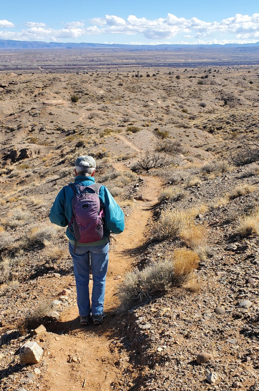
The ascent up onto the mesa follows a shallow arroyo, with an easy climb that steepens near the top (~15% slope). The trail along the edge of the mesa provides excellent views – northeast to Sierra Ladrones, west across the open plains, to the east the Rio Grande valley and beyond the Los Piños Mountains, and to the southwest Polvadera Mountain and the Magdalena Mountains beyond. At 2.63 miles we identified the cutoff back to the Visitors Center. Having been forewarned by Jay & Nancy about a very steep section, we suspected it was here. The descent did look foreboding.
Without much further consideration, and seeking a longer hike, we continued on to complete the circumnavigation via the Ladrones Vista Trail. Throughout the hike the trail made for easy ambulating – travel, sometimes sand, at other times a bit of rocky surface, and much of the trail was edged by rocks. The views continued to be splendid particularly as the sun moved to the west. At 3.5 miles the trail turned east, an easy descent back toward the Visitors Center. At about the 4.0 mile point we came upon a pole shelter where, out of the wind behind a juniper tree, we stopped to have our lunch.
Highlight
We recommend Sevillita NWR for a visit in autumn, winter, and spring – it is likely to be quite hot in the summer. It is so accessible (near Abq, Socorro and adjacent to I-25), the hike isn’t strenuous, and it is more interesting than we thought it would be. And I suspect it will be even more interesting when the Visitors Center is open, presenting more information with which to capitalize on this NWR.
Statistics
Total Distance: 5.0 miles
Elevation: start 4,831 ft, maximum 5,090 ft, minimum 4,794 ft
Gross gain: 296 ft. Aggregate ascending 577 ft, descending 574 ft
Maximum slope: 18% ascending, 20% descending, 3.8% average
Duration: 4:00
| GPS Track Files for Download | |
130 Downloads |
|
|---|---|
137 Downloads |
|
I urge you to explore our hiking tracks with Google Earth. With the virtual 3-dimensional presentation, achieved by panning and tilting the view, you can get a much better idea of the hikes and terrain than you can get from the 2-dimensional screenshot above. For assistance: Using Google Earth Track Files.
References and Resources
Fish & Wildlife Service: Sevilleta
New Mexico State Parks: Sevilleta National Wildlife Refuge
New Mexico Magazine: Unlocking the Sevilleta
AllTrails: Best trails in Sevilleta National Wildlife Refuge, New Mexico
Amigos de la Ssevilleta: Visiting Sevilleta


