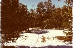
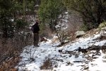
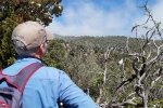
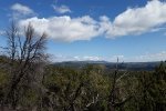
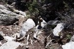
After 3 days of rain and snowy weather in the mountains, we chose this trail out of Tijeras Canyon expecting it to be less muddy – and it was, thanks to the surface that is more rocky than many trails nearby. We had hiked this trail 3, 4, maybe 5 years ago (‘tho I can’t find a record in my files), so it was nice to return to it.
The Hike

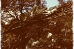
Flora on this hike – moss growing on tree trunk.Started off in cool temperature (45 degrees) but sunny conditions. At the base of the trail there was some snow on the ground and in the trees, and as we proceeded up the trail there was more and more snow.As the temperature warmed, the snow began falling out of the trees and sometimes down our necks. The temperature had warmed enough by the time we started down towards the truck the trail had become quite muddy and the snow was quickly disappearing.
We followed the South Crest trail as far as the junction with Lower Faulty, then angled off to the left following the tracks of an earlier hiker. We later discovered that we had not continued on South Crest as we thought, but the this unmarked trail was easy to follow and makes a very nice alternative, and .. results in tracking a loop. We recommend it.
Jay here: Quite the change of pace for many reasons. We had gotten used to lack of ascent from all the hiking in the Ojito Wilderness, so it was a real departure to be climbing up the mountain for 1400+ feet….in snow. Also, we have been spoiled having trails all to ourselves without running into a single soul, but these trails were loaded with single hikers, dogs and entire families. Other than the trail traffic and the mud, it was a great hike for getting back into shape for tougher climbs ahead.
Statistics
Total Distance: 4.29 miles
Elevation: start 6,552 ft, maximum 7,721 ft, minimum 6,552 ft
Gross gain: 1,169 ft. Aggregate ascending 1,410 ft, descending 1,409 ft
Maximum slope: 37% ascending, 38% descending, 13% average
Duration: 3:43
| GPS Track Files for Download | |
65 Downloads |
|
|---|---|
138 Downloads |
|
I urge you to explore our hiking tracks with Google Earth. With the virtual 3-dimensional presentation, achieved by panning and tilting the view, you can get a much better idea of the hikes and terrain than you can get from the 2-dimensional screenshot above. For assistance: Using Google Earth Track Files.
References
Sandia Mountain Hiking Guide: South Crest, Faulty, Upper Faulty Trails
ondafringe: Day Hike: South Crest Trail
ASCHG: South Crest from Canyon Estates
Map My Hike: South Peak via Crest Trail and CCC
Doug Scott Art: Travertine Falls


