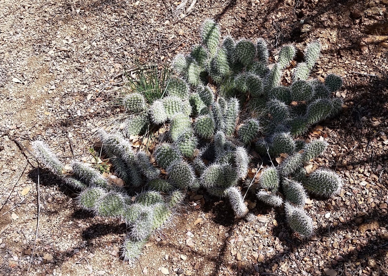
Flora for this hike – prickly pear cactus showing it’s winter garb.
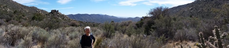
Great hike for Pat and me, returning to this trail which takes us into the south end of the Sandia Mountains, with great views across the Manzanitas to the Manzanos and Tierra Grande.
The Hike
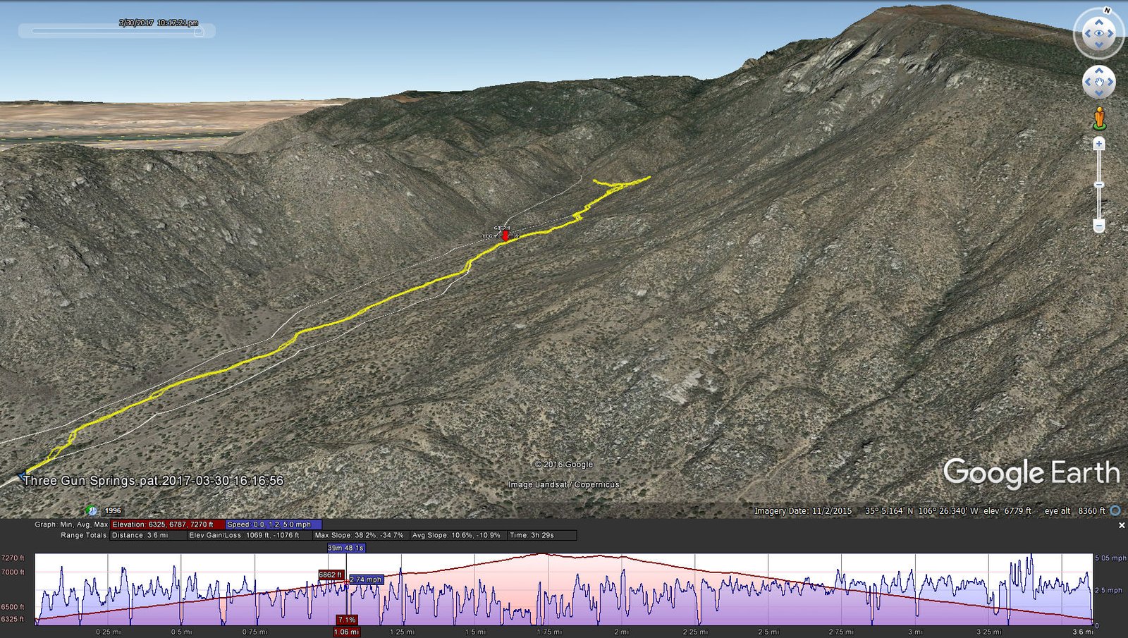
Three Gun Springs.Pat.2017-03-30
Statistics
Total Distance: 3.6 miles
Elevation: start 6,325 ft, maximum 7,270 ft, minimum 6,325 ft
Gross gain: 945 ft. Aggregate ascending 1,069 ft, descending 1,076 ft
Maximum slope: 38% ascending, 35% descending, 11% average
Duration: 3:29
| GPS Track Files for Download | |
215 Downloads | |
|---|---|
284 Downloads | |
I urge you to explore our hiking tracks with Google Earth. With the virtual 3-dimensional presentation, achieved by panning and tilting the view, you can get a much better idea of the hikes and terrain than you can get from the 2-dimensional screenshot above. For assistance: Using Google Earth Track Files.
References
USDA Forest Service: Sandia Mountain Trails (pdf)
Sandia Mountain Hiking Guide: Three Gun Spring Trail
ASCHG: Three Gun Spring Hike


