Returned to the South Crest Trail on May 8th for ‘conditioning exercise’, a trail on which one will get some elevation gain. Did South Crest/Faulty Trails last week – this week I remained on South Crest until turn-around.
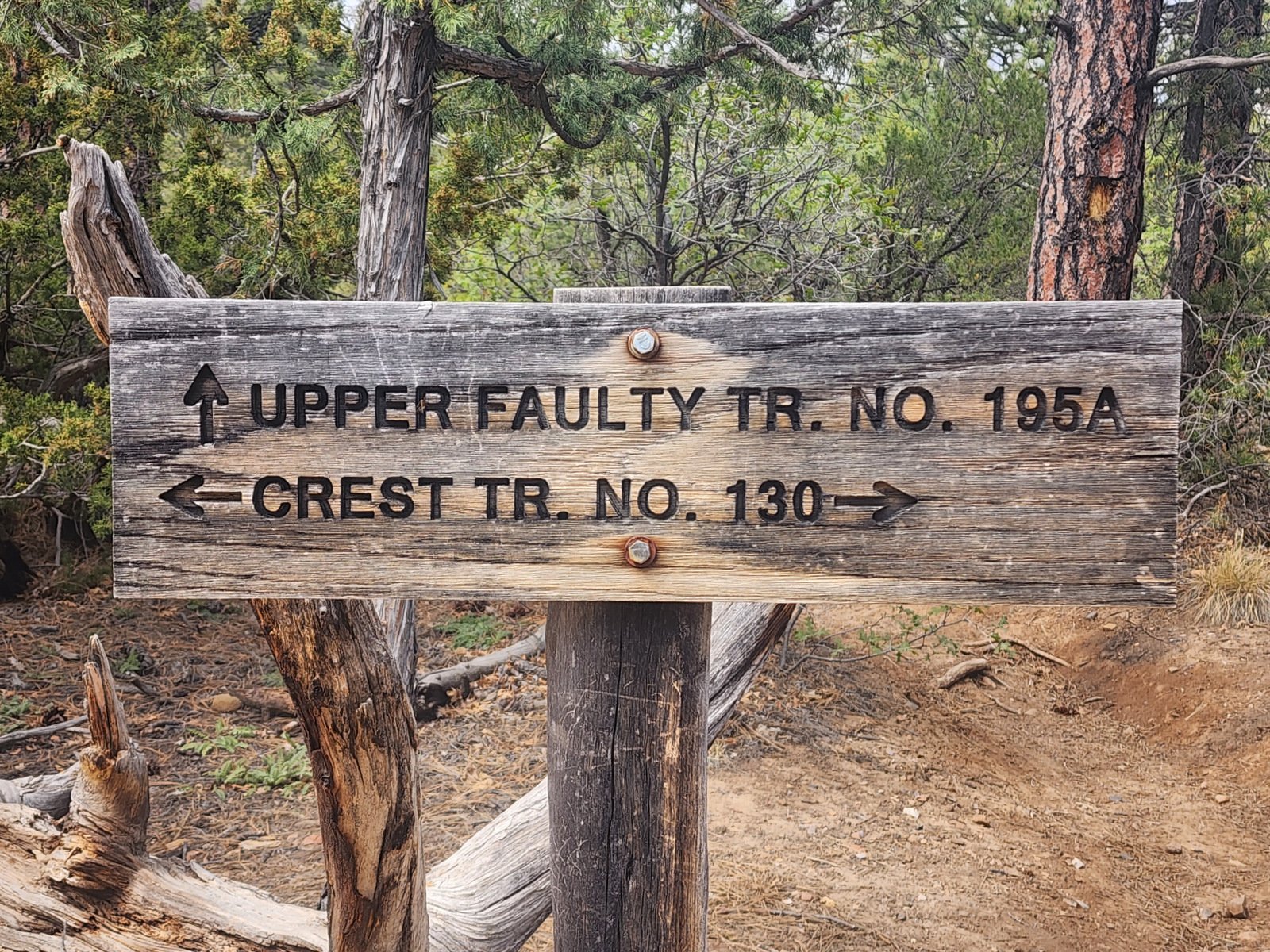
And I returned again on May 23rd, with the goal of going further .. to the intersection with the Upper Faulty Trail.
The Drive In
The South Crest Trail begins at the Canyon Estates – Grand Enchantment Trailhead. The Trailhead is uphill from the main intersection in Tijeras; from that intersection go north as ‘tho you are getting onto I-40. But … don’t turn left; instead continue beyond the westbound entrance ramp, then turn to the right and follow Arrowhead Trail to the end where you will find a loop parking area for the Trailhead.
The Hike – May 8th
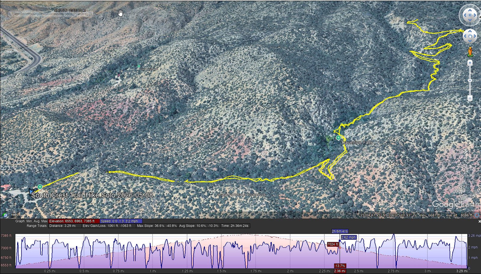
South Crest Trail Hike.Solo.2026-05-08
Notes about the Google Earth screenshot: the graph at the bottom shows elevation of the track (pink area) and speed (the blue line). Click on the image for a full-screen view.
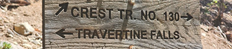
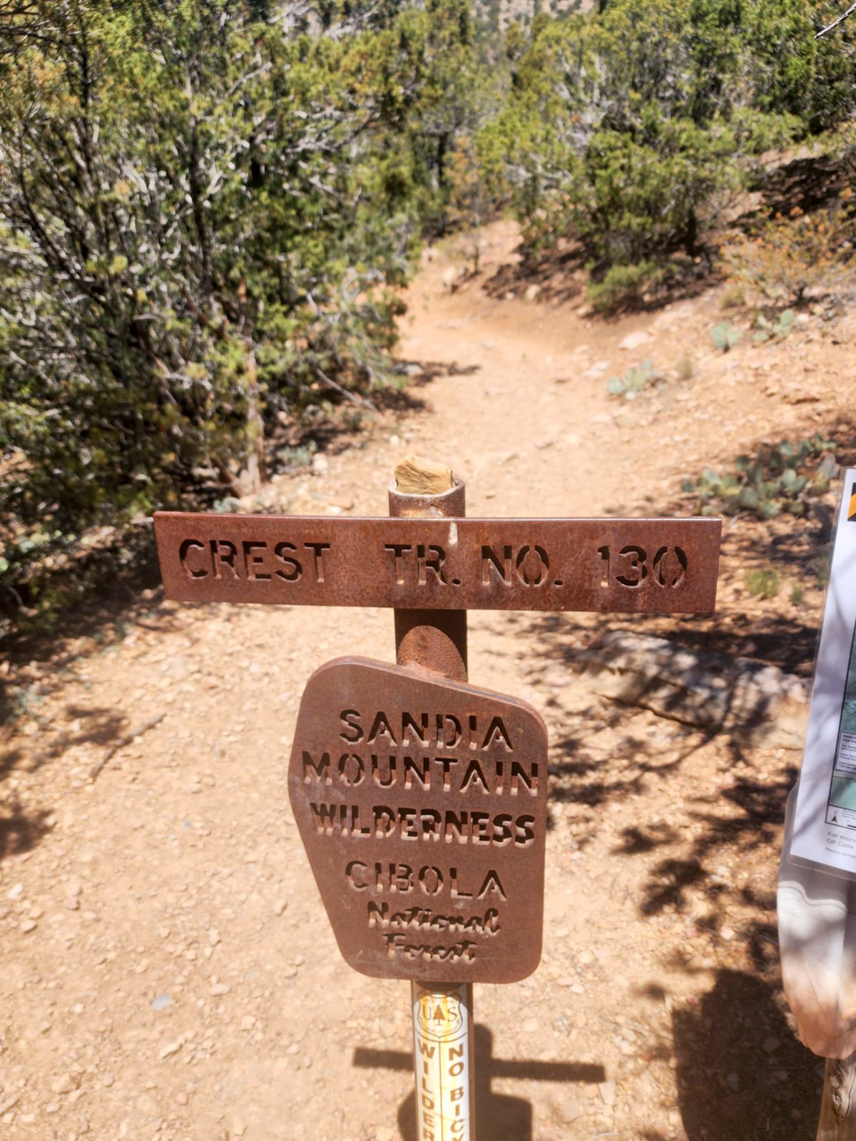 The trailhead is the southern terminus of the Crest Trail, the other end of which is at the northern edge of the Sandia Mountains adjacent to Placitas. This portion of the Crest Trail is well used – it is so accessible and offers an interesting feature, the Travertine Falls (a half mile from the trailhead). There are a few rocky areas but no steep sections – I consider it to be easy to moderate.
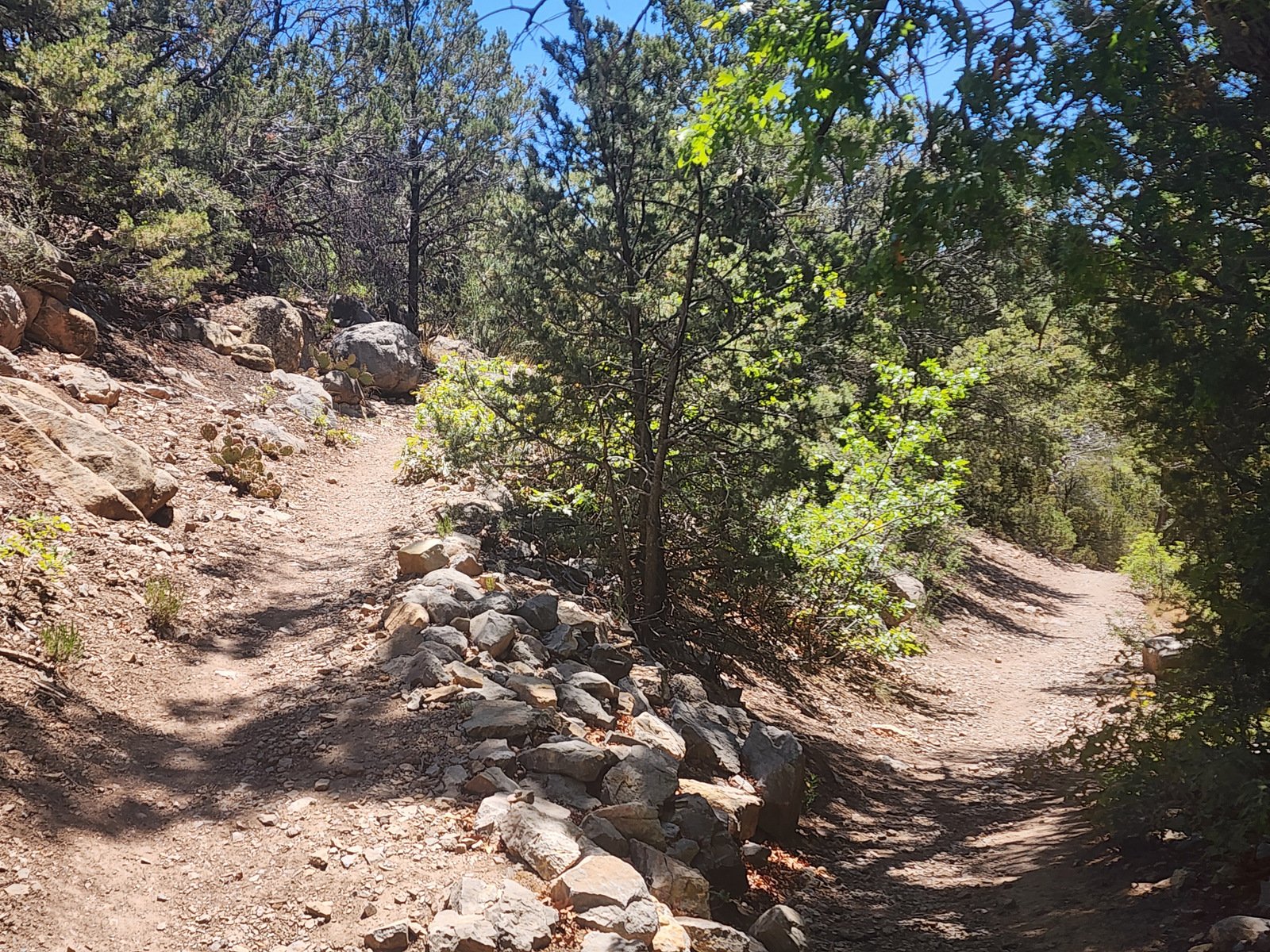
Statistics – 05/08/2026
Total Distance: 3.29 miles
Elevation: start 6.555 ft, maximum 7,385 ft, minimum 6,553 ft
Gross gain: 832 ft. Aggregate ascending 1,061 ft, descending 1,063 ft
Maximum slope: 37% ascending, 41% descending, 10.4% average
Duration: 2:36, Average Speed: 1.3 mph, Shade: 35%
| GPS Track Files for Download | |
35 Downloads | |
|---|---|
0 Downloads | |
0 Downloads | |
| If you haven’t explored these hiking tracks with Google Earth, give it a try. With the virtual 3-dimensional presentation, achieved by panning and tilting the view, you can get good idea of the hike and the terrain. For some ideas, check out Using Google Earth Track Files. | |
The Hike – May 23rd
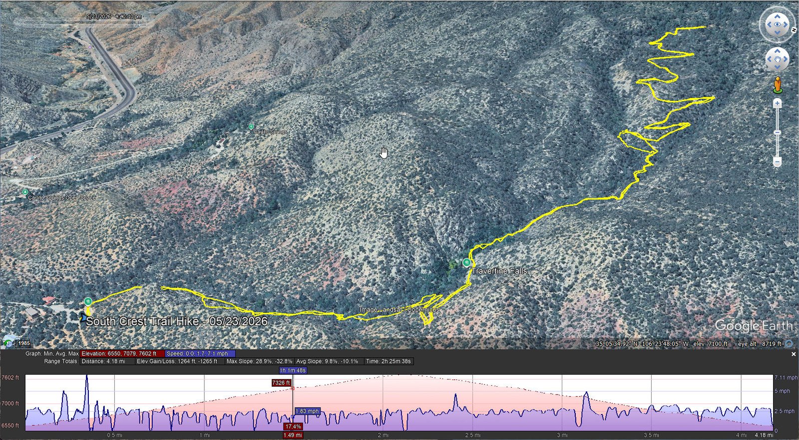
South Crest Trail Hike.Solo.2026-05-23 <br>Notes about the Google Earth screenshot: the graph at the bottom shows elevation of the track (pink area) and speed (the blue line). Click on the image for a full-screen view.
 Today I set my sites
 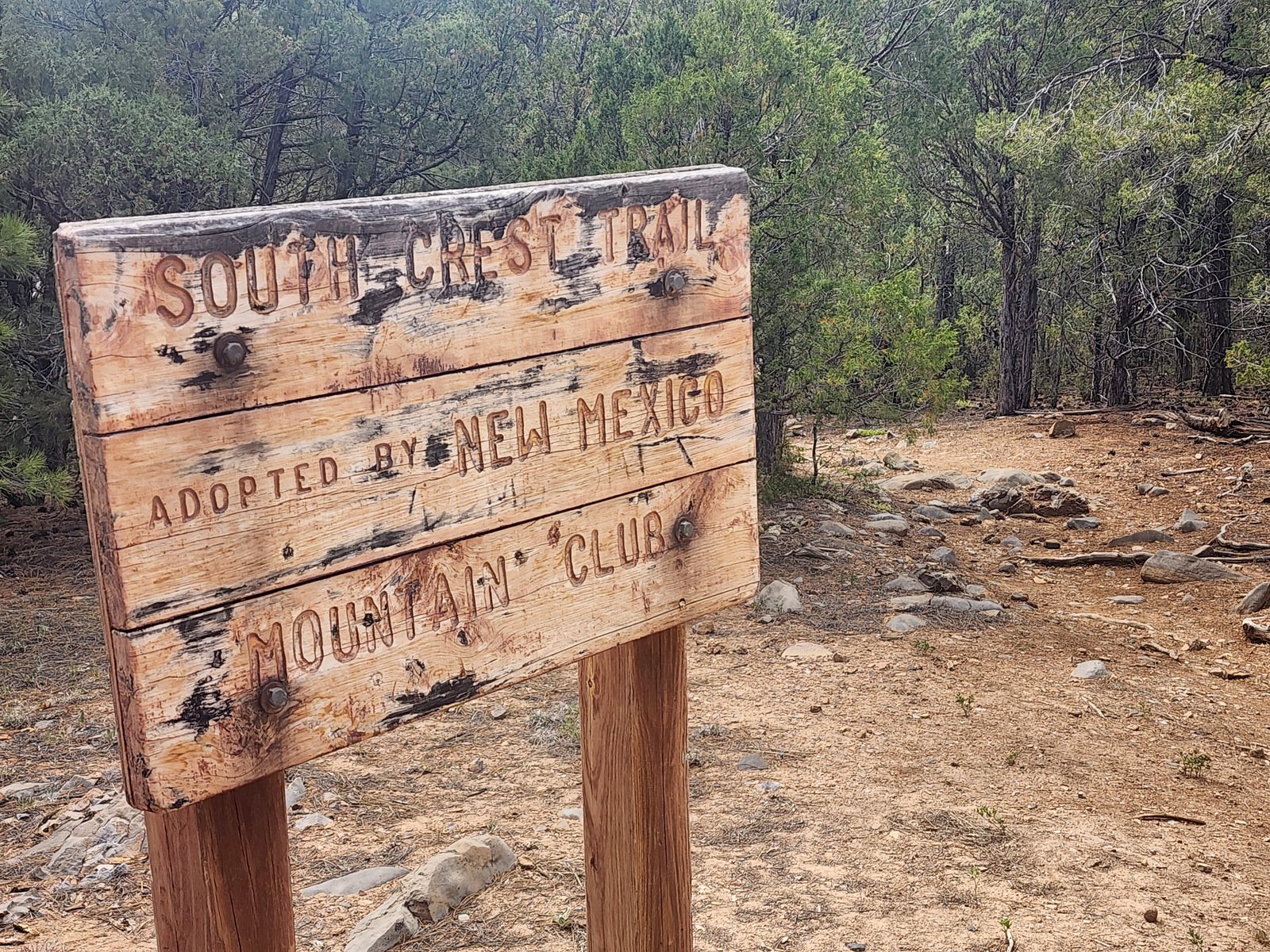 on hiking as far as the intersection with the Upper Faulty Trail. I started later in the day, 1415 hours, and suffered a bit with the higher temperatures.
Statistics – 05/23/2026
Total Distance: 4.23 miles
Elevation: start 6,555 ft, maximum 7,602 ft, minimum 6,550 ft
Gross gain: 1,052 ft. Aggregate ascending 1,264 ft, descending 1,265 ft
Maximum slope: 29% ascending, 33% descending, 10.0% average
Duration: 2:26, Speed ascending: 1.5 mph, descending: 2.0 mph, Shade: 25%
| GPS Track Files for Download | |
19 Downloads | |
|---|---|
0 Downloads | |
0 Downloads | |
| If you haven’t explored these hiking tracks with Google Earth, give it a try. With the virtual 3-dimensional presentation, achieved by panning and tilting the view, you can get good idea of the hike and the terrain. For some ideas, check out Using Google Earth Track Files. | |
Related Posts
South Crest Trail Hike – 04/02/2017
South Crest Trail Hikes
Hikes in Tijeras Canyon
References and Resources
AllTrails: South Crest Trail
ASCHG: South Crest from Canyon Estates
Dog of the Desert:South End of the Crest Trail …
SummitPost: South Crest Trail No. 130S
Views to date: 8 views.