Was it the trail, or the surrounding forest, or the beautiful morning weather .. whatever this was one of the most pleasant hikes we’ve made so far this year. And it is not far from home, a half-hour drive compared to up to two hours for other trails we enjoy very much. And to top it off – having brunch at Roots Farm Cafe in Tijeras on the way home.
The Drive In
From Albuquerque eastbound on I-40 exit at Tijeras onto NM 337 southbound (folks who have been in these parts for many years know it as South 14). From Roots Farm Cafe (1/3 mile from the stoplights), proceed uphill for 8.5 miles, then turn left (east) onto Oak Flat Road. For this hike, continue on Oak Flat Road for another 1.3 miles to a gravel parking area on the left/north.
The Hike
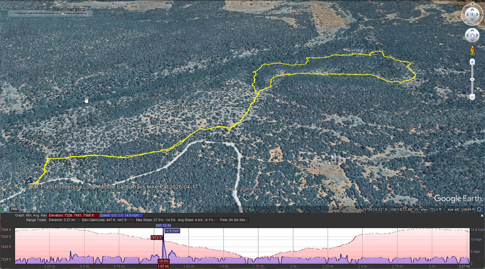
Oak Flats-Ponderosa Loop, Middle Earth Trails Hike.Pat.2026-04-17
Notes about the Google Earth screenshot: the graph at the bottom shows elevation of the track (pink area) and speed (the blue line). Click on the image for a full-screen view.
From the parking lot and over a “hiker’s hurdle”, the hike begins on a 2-track for 200 yards or so, to an intersection with the Ponderosa Loop – go left or right, or straight ahead on the Ponderosa Trail. We headed to the right for a counter-clockwise hike on the Loop.
 T
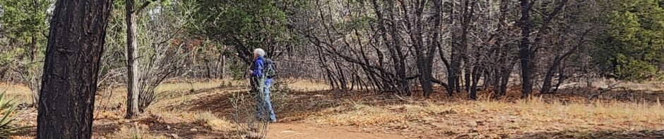
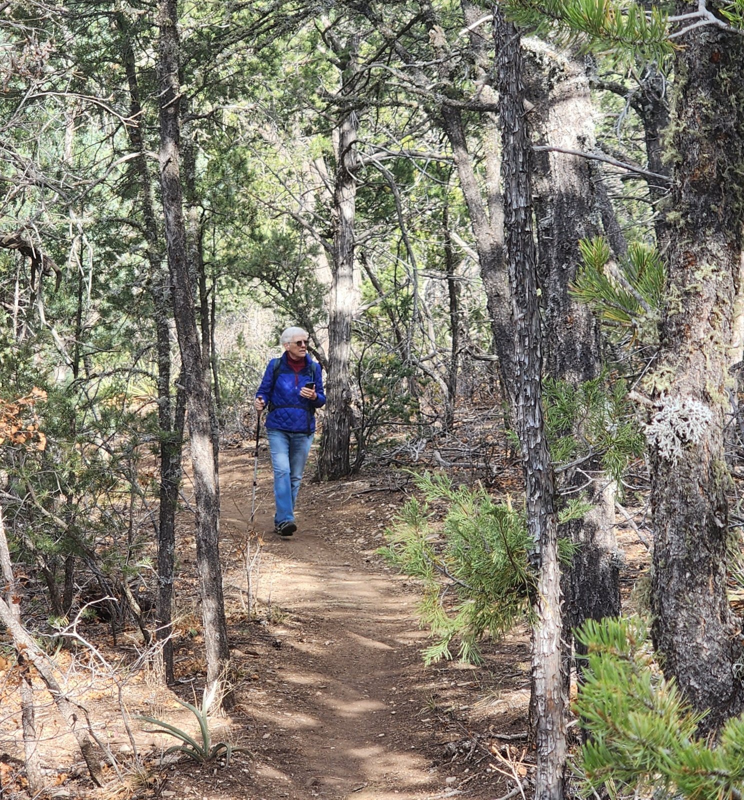
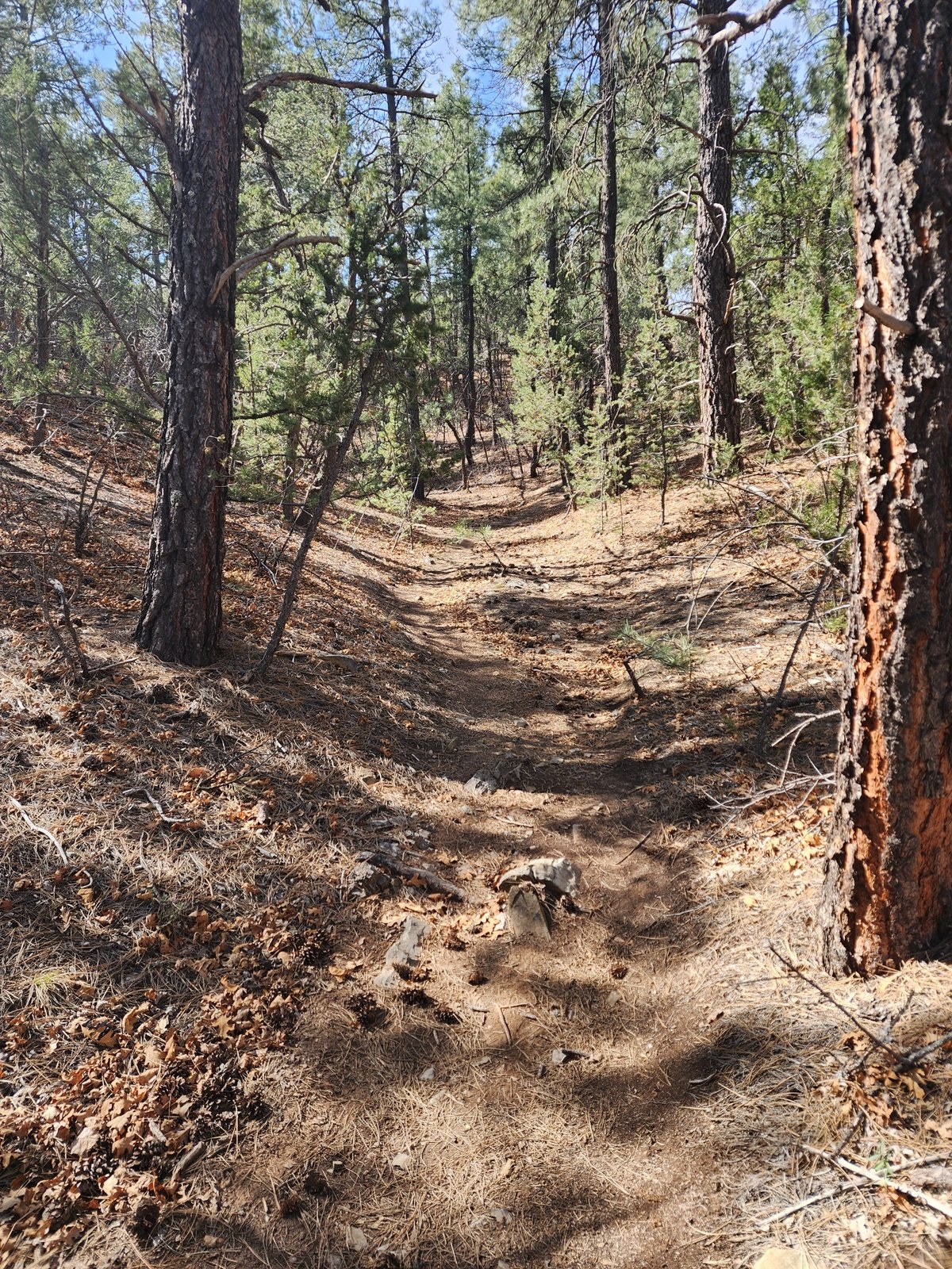
T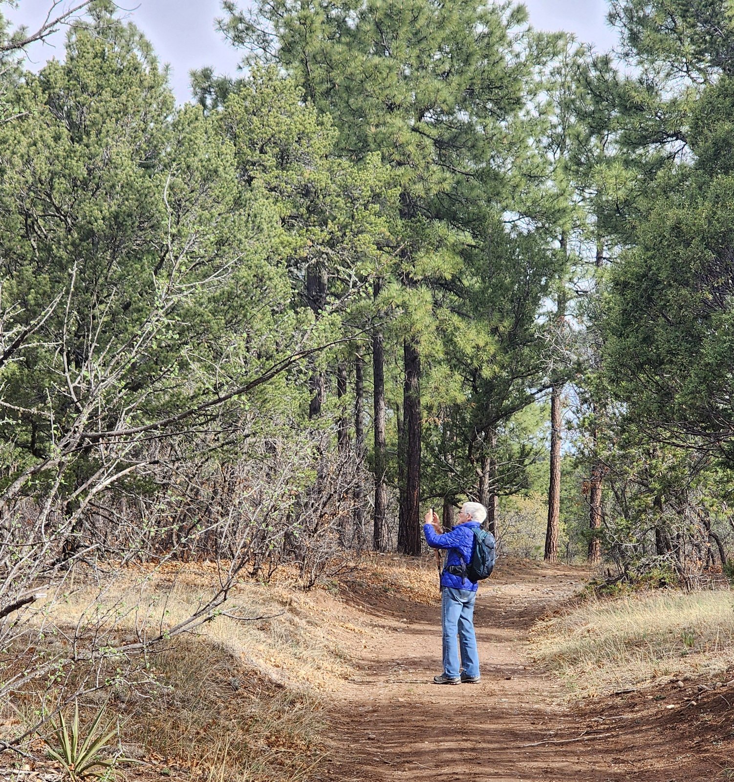 he Ponderosa Loop Trail is quite well used, wide and flat for most of its distance making this a very easy hike. In some sections it passes through an open forest of ponderosa, juniper, and oak trees. In other sections it winds its way through a more closed forest.
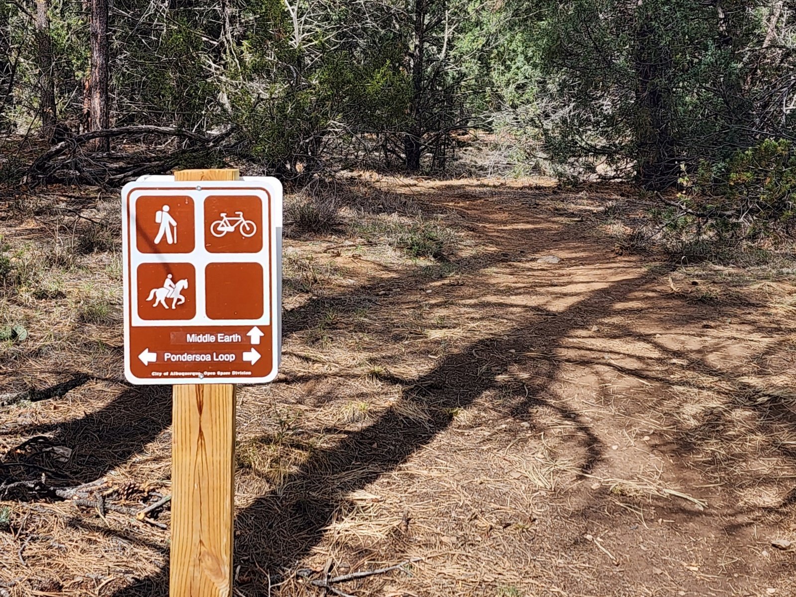
 About half way around the loop, we chose to leave the Loop for the Middle Earth trail to shorten the hike a bit. (GAIA depicts Middle Earth Trail as a dotted line, with no identification. ‘Twas a sign from which we learned the name.)
Up to now the hike had been a gentle down hill track, about 200 feet of elevation ‘loss’ in the 1.7 miles. The intersection with Middle Earth is near the lowest elevation on the Loop so, we went up a gentle slop in the bottom of a ravine. Seven tenths of a mile on Middle Earth the trail was quite steep (and rocky) for some 80 feet elevation gain and a tenth of a mile – a good workout. After than it was a gentle climb back to the intersection with Ponderosa Loop and return to parking.
Highlight
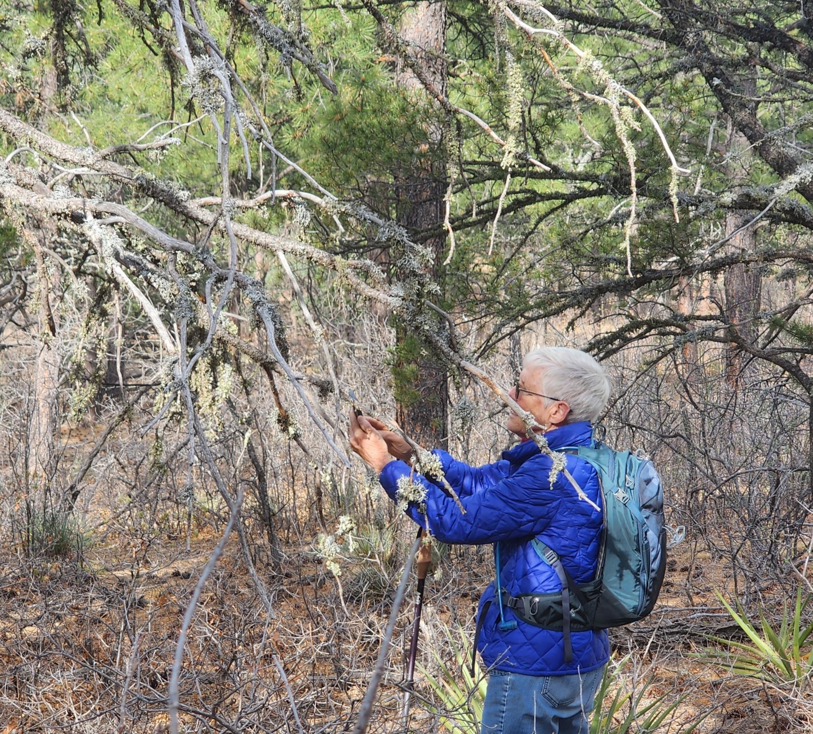 What a wonderful place to visit, and in the morning hours to enjoy Mother Nature in the forest (we started at 0830 hours). We try, but our photos cannot convey the beauty and the many interesting features of this New Mexico forest.
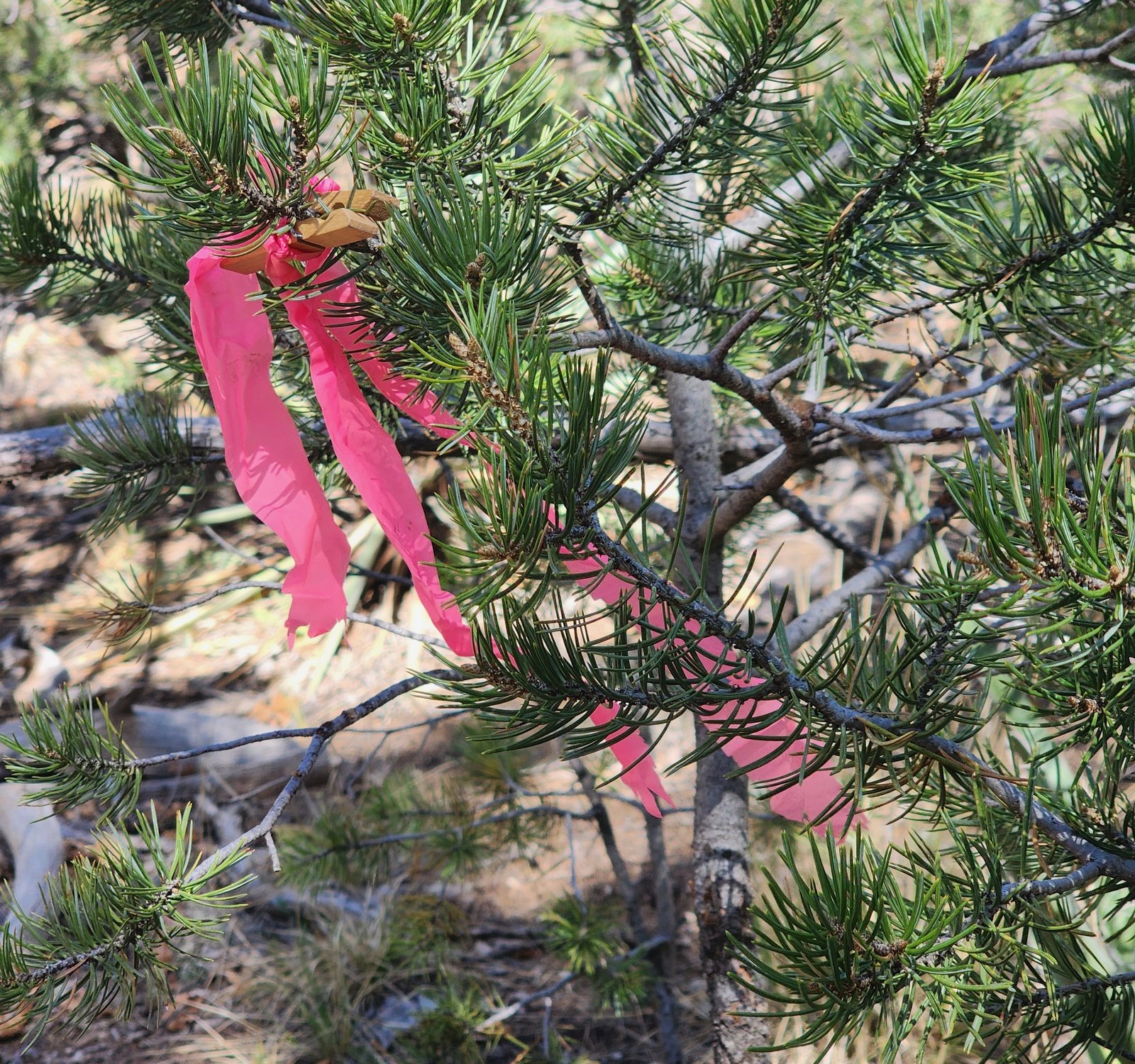 And an interesting sidelight: a couple of young men came by festooned with pink and white ribbons. They were laying out the route for 25k and 50k trail runs scheduled the next day. As we returned to our truck, we saw their trail marks, the ribbons attached to branches, interestingly with small wooden clothes pins-
Statistics
Total Distance: 3.27 miles
Elevation: start 7,542 ft, maximum 7,568 ft, minimum 7,328 ft
Gross gain: 240 ft. Aggregate ascending 447 ft, descending 447 ft
Maximum slope: 27% ascending, 15% descending, 4.3% average
Duration: 2:04, Average Speed: 1.6 mph, Shade: 30%
| GPS Track Files for Download | |
46 Downloads | |
|---|---|
49 Downloads | |
35 Downloads | |
| If you haven’t explored these hiking tracks with Google Earth, give it a try. With the virtual 3-dimensional presentation, achieved by panning and tilting the view, you can get good idea of the hike and the terrain. For some ideas, check out Using Google Earth Track Files. | |
Related Posts
Oak Flats Hikes
All Posts Arount Tijeras
References and Resources
USFS: Sandia RD Manzanita Mountains
Interactive Map (zoom in to Albuquerque and Manzanita Mountains)
Manzano Mountains Trails Brochure RG-R3-03-06 (2024) (pdf)
AllTrails: Ponderosa Trail Loop
Oak Flat Loop
New Mexico Touring Society: Oak Flat
Global Awareness for Travelers: October in New Mexico: The Air is Alive on the Oak Flat Trail
Views to date: 36 views.