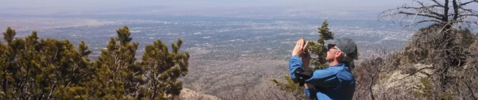

A Retro-post, a hike from 2014, a trail that Jay had hiked a couple of times before. One of our early hikes, checking out trails on the east side of the Sandia Mountains.
The Hike
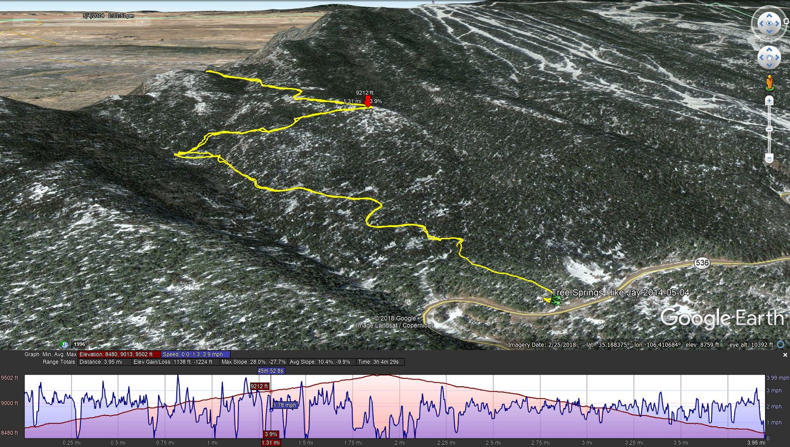
Tree Springs Hike.Jay.2014-05-04
(Ignore the snow on the GoogleEarth image.)
Statistics
Total Distance: 3.95 miles
Elevation: start 8,480 ft, maximum 9,502 ft, minimum 8,480 ft
Gross gain: 1,022 ft. Aggregate ascending 1,138 ft, descending 1,224 ft
Maximum slope: 28% ascending, 28% descending, 10% average
Duration: 3:04
| GPS Track Files for Download | |
269 Downloads | |
|---|---|
184 Downloads | |
I urge you to explore our hiking tracks with Google Earth. With the virtual 3-dimensional presentation, achieved by panning and tilting the view, you can get a much better idea of the hikes and terrain than you can get from the 2-dimensional screenshot above. For assistance: Using Google Earth Track Files.
References
USDA Forest Service: Tree Spring Trailhead and Tree Spring Trail 147
ASCHG: Tree Spring Trail to Fossil Garden Hike
AllTrails:
Tree Spring Trail
Tree Spring to 10-K Trail
SummitPost: Tree Springs Trail
Trek Southwest: Tree Springs Trail – Sandia Mountains, New Mexico