Redondo Meadow Hike.Pat.2019-05-16
Introduction
Looking for cooler spaces as summer begins, we drove a bit further to Valles Caldera National Preserve, a recent addition to the National Park Service inventory of places in New Mexico. We hiked in the southwestern corner of the Preserve.
The Hike
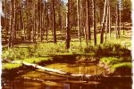
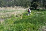
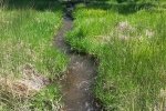
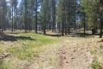
It was a relatively easy hike, not much elevation gain, only some 314 feet. Midway through the hike, we found ourselves in the beautiful valley of Redonda Creek, To walk along the burbling water, probably the last of the snow melt, was most pleasant. Also in the valley, after crossing the creek. we found ourselves in the middle of a large prairie dog town with a dozen or so watch towers spread about. Most of the our hike was on two-track, some gravel, some dirt, and most comfortable about 2 miles on a two-track covered with 2-3 inches of wood chips.
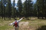
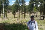
Most of the hike was through an open forest in the shade of Ponderosa Pine; only along the Redondo Creek were we in open sunlight.
Statistics
Total Distance: 6.50 miles
Elevation: start 8,200 ft, maximum 8,319 ft, minimum 8,120 ft
Gross gain: 318 ft. Aggregate ascending 1,085 ft, descending 1,085ft
Maximum slope: 32% ascending, 36% descending, 4.3% average
Duration: 4:11
| GPS Track Files for Download | |
157 Downloads |
|
|---|---|
183 Downloads |
|


