Introduction
Another hot day in Albuquerque and all lower elevations, so Jay and I headed towards the top of the Sandia Mountains.
The Hike

From the 10K Parking Lot on the Crest Highway 536 (upper right), hiking south on the 10K trail across the Ski Runs, ultimately turning north on the South Crest trail to the upper Tram terminal & High Finance restaurant, then down a ski run to 10K & back to parking.
(Click on the above image for a full-size view.)
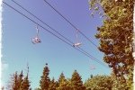
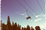
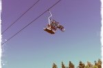
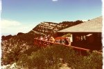
Following initially the section of the 10K trail that Pat & I hiked earlier in the week, we continued across all of the Sandia Peak Ski Area, and continued on 10K until it intersected the South Crest Trail. The South Crest Trail took us north, with a hefty climb up to the top terminal of the Sandia Peak Tram (and Ski Area). Then it was down the northern-most ski run to intercept 10K and back to parking.
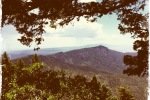
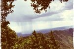
Weather up on the mountain was wonderful (above 9000 fee, as high as 10,400 feet) – temperature started out in the 70s, maybe made it barely into the 80s by the end of the hike. Meanwhile, temperatures at lower elevations, like Placitas and Albuqeurque, were well into the 90s.
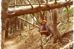
The trail is shaded nearly it’s whole length. It is well used, by hikers during the summer and by cross-country skiers in the winter. Since it generally follows the 10,000 elevation line (by design), it was, overall, an easy hike.
Statistics
Total Distance: 5.43 miles
Elevation: 9,977 start, 10,290 maximum, 9,409 minimum
Gross gain: 881 ft. Aggregate ascending 1,506 ft, descending: 1,502 ft
Maximum slope: 36% ascending, 24% descending, 25% average
Duration: 3:49
| GPS Track Files for Download | |
127 Downloads |
|
|---|---|
125 Downloads |
|






One man’s easy is another man’s not so fast buckeroo. That was a strenuous climb from 10k to Sandia Ski Area