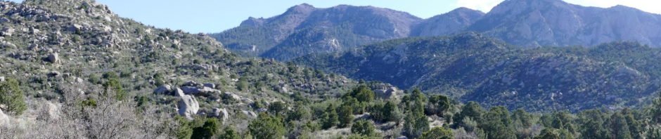
Having ‘tested our mettle’ on Three Gun Springs two weeks ago, 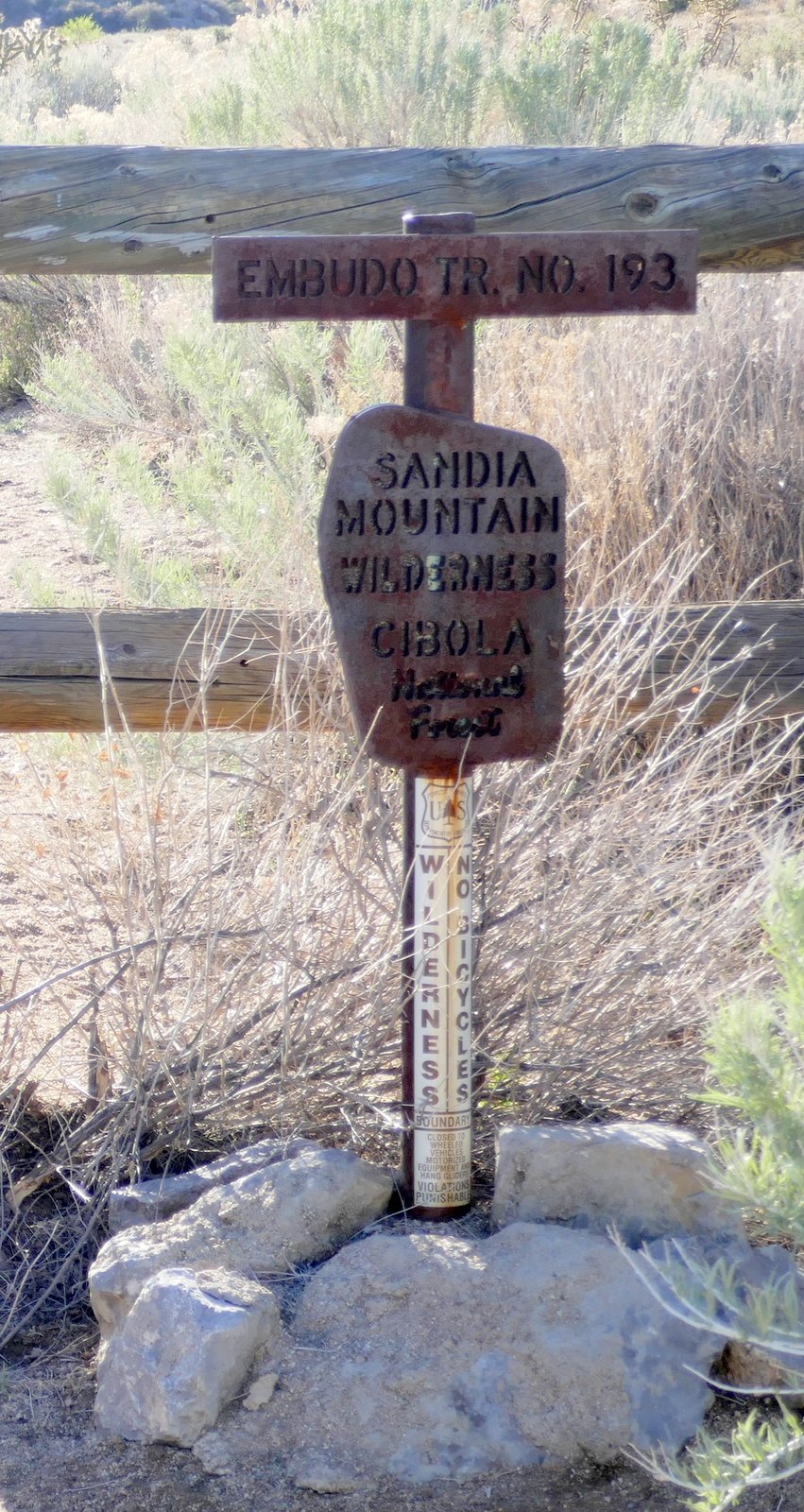 we addressed Embudo Trail this day. We started out with just the idea that it was another in our preparations to go “over the top” in a future hike (up Embudo, down Three Gun Springs), and to refamiliarize ourselves with the trail. With warmer weather coming, we headed out early to get into the canyon (and some shade) before the sun got too high.
The Hike
 I posted a good description of the trail from our hike last year. We debated this day whether to take the Horse Bypass or tackle The Rocks – we chose the latter (‘serious rocks’ on the GoogleEarth track). Not mentioned in last year’s BLOG, there is a section of trail above the
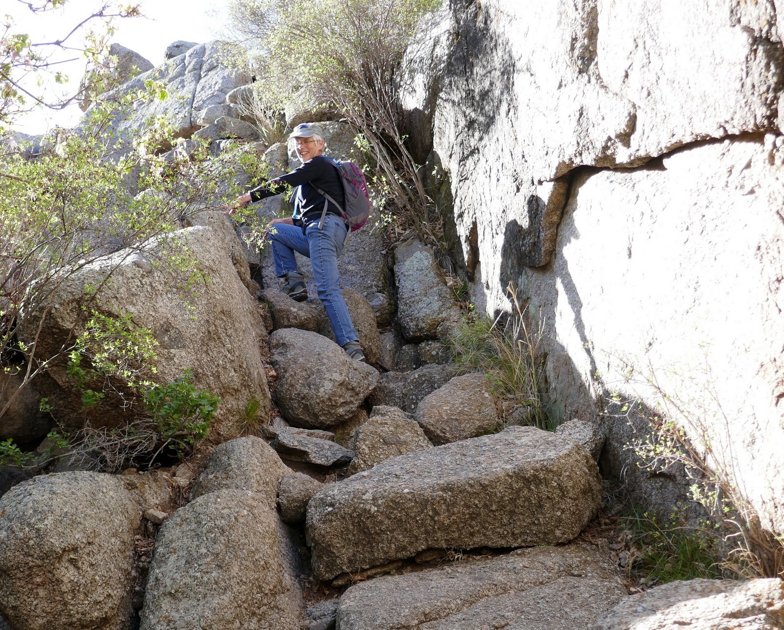
 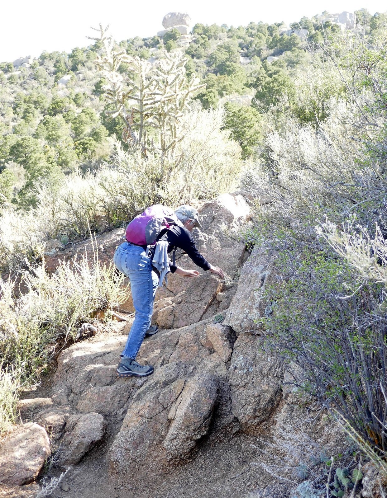 ‘serious rocks’ that is quite open, giving a truly great view into the upper reaches of Embudo Canyon and South Sandia peak. This section is memorable to us, harkening back to our first hikes in 2010 when the signs of the burn were still fresh. Last year we stopped short of another section of more ‘serious rocks’ at the start of the steepest section of the trail.
Upon reaching this ridgetop, we were treated to our first view of south end of the Sandias and the Hawk Watch promontory- ’tis quite a sight. Looking south along the ridgetop, became curious where it might lead (and we started looking for a good place for our lunch break). I had seen evidence on an old map of an alternate trail from Embudo Canyon into Three Gun Springs canyon, and wondered if it might be here. We proceeded about a quarter of a mile and saw what was clearly a trail, but weren’t willing to explore it this day. After some searching, we found a place that was suitable for our break – a bit level with rocks for a backrest (some shade would have been nice).
After the challenging climb up Embudo, now near the top and the junction with Three Gun Springs, and .. knowing we could call my brother (who recently moved to Albuquerque) for a ride, we decided to make this our over-the-top hike. We returned to the Embudo Trail, continued to the junction with the Three Gun Springs trail, and descended to the trailhead where Garth was waiting for us.
Statistics
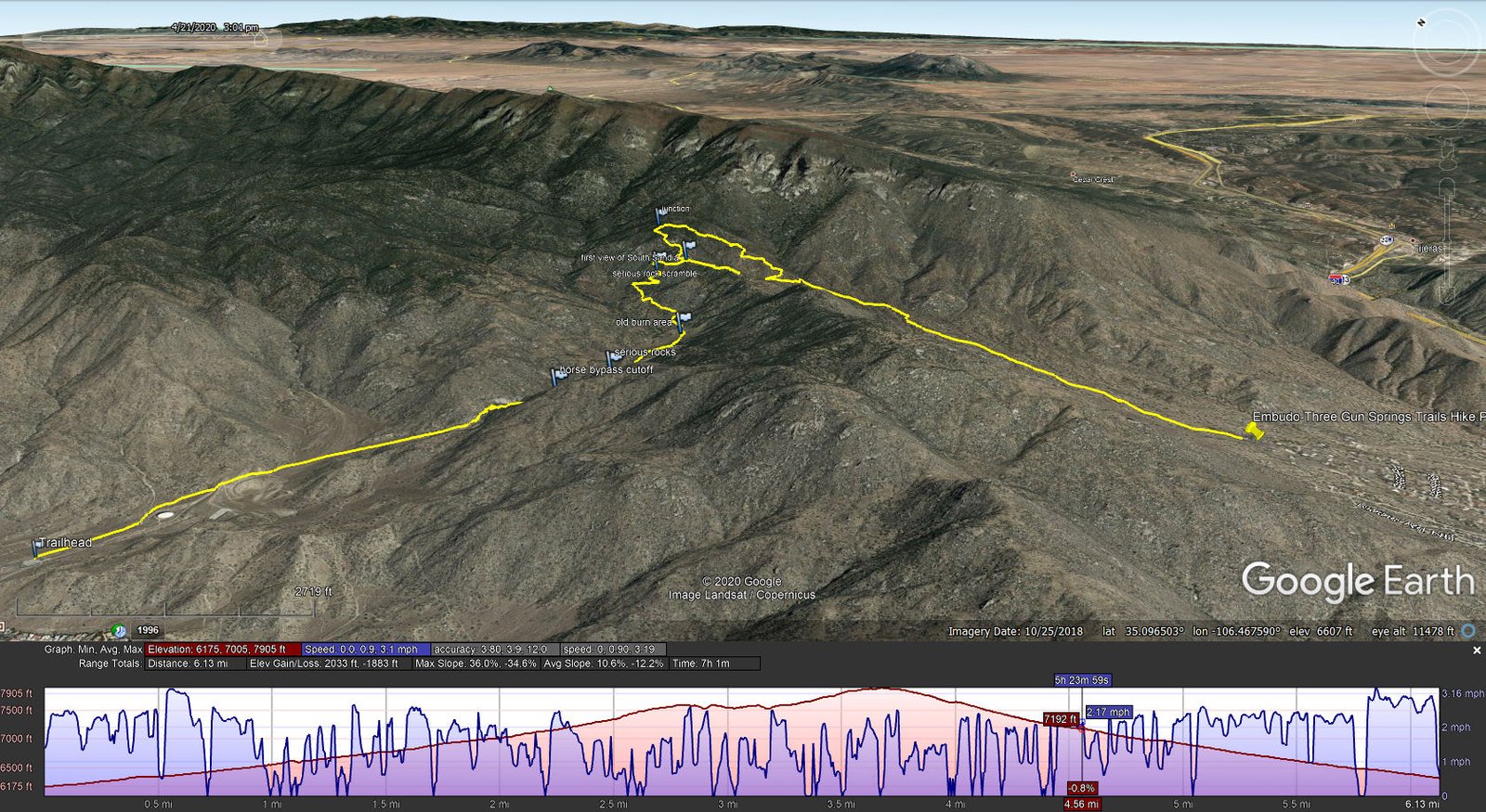
Total Distance: 6.13 miles
Elevation: start 6,175 ft, maximum 7,905 ft, minimum 6,175 ft
Gross gain: 1,730 ft. Aggregate ascending 2,033 ft, descending 1,883 ft
Maximum slope: 36% ascending, 35% descending, 10.6% average
Duration: 7:01
| GPS Track Files for Download | |
173 Downloads | |
|---|---|
179 Downloads | |
If you haven’t explored these hiking tracks with Google Earth, I urge you to try it. With the virtual 3-dimensional
If you haven’t explored these hiking tracks with Google Earth, I urge you to try it. With the virtual 3-dimensional presentation, achieved by panning and tilting the view, you can get a much better idea of the hikes and terrain than you can get from the screenshot above. For some ideas, check out Using Google Earth Track Files.
References and Resources
USDA Forest Service: Embudo TH, Embudo Trail 192 & Horse Bypass 193A
TripAdvisor: Embudo Canyon Trail
References from last year’s hike: Embudo Canyon Trail Hike – 04/26/2019