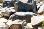
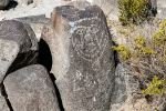
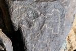
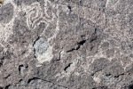
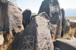
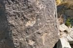
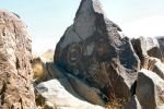
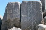
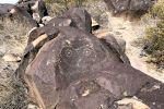
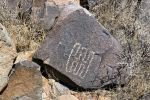
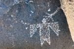
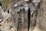
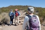
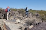
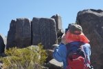
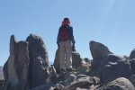
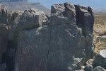
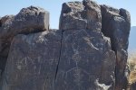
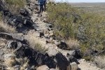
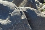
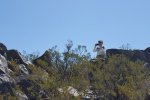
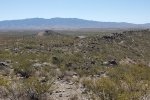
This 2-night camping trip with Jay and Nancy was planned so we could visit the Three Rivers Petroglyph Site. The Petroglyph Trail is just under a mile in length, so we chose to tour the Petroglyphs in the morning, then take a full hike after lunch. Visiting the Site in the cooler air of the morning was a good choice; later in the day it would become quite hot – there is no shade from the sun in New Mexico’s invariably clear blue skies.
The Drive In
We drove from Albuquerque the day before: I-25 to Moriarty, NM 41 to Willard, NM 42 to Corona, US 54 south to Carrizozo, then 13 miles further on US 54 to the Three Rivers Trading Post. Turn left onto Three Rivers Road, 15 miles to the campground which is tucked up against the Sierra Blanca mountains (total: 4 hours with the R-Pod, 192 miles). On the way to the campground, we passed the Petroglyph Site about 3 miles from the highway
The Walkabout
Statistics
Total Distance: 1.16 miles
Elevation: start 4,988 ft, maximum 5,097 ft, minimum 4,981 ft
Gross gain: 116 ft. Aggregate ascending 201 ft, descending 205 ft
Maximum slope: 27% ascending, 22% descending, 5.8% average
Duration: 1:31
| GPS Track Files for Download | |
83 Downloads | |
|---|---|
184 Downloads | |
If you haven’t explored these hiking tracks with Google Earth, I urge you to try it. With the virtual 3-dimensional presentation, achieved by panning and tilting the view, you can get a much better idea of the hikes and terrain than you can get from the screenshot above. For some ideas, check out Using Google Earth Track Files.
Related Posts
Three Rivers Trail #44 Hike – 04/24/2021
References and Resources
BLM: Three Rivers Petroglyph Site
New Mexico True: Three Rivers Petroglyph Site
New Mexico Nomad: Three Rivers Petroglyphs
(great for historical background)
GJHikes: Three Rivers Petroglyphs
(great collection of photos)
AllTrails: Three Rivers Petroglyph Site Trail
USDA Forest Service: Three Rivers Campground
Campendium: Three Rivers Campground


