
This was our first hike on the Osha Spring Trail. We checked out the trail in anticipation of making it to the Landsend Mine. We’ll return one day; this is a trail that is better for warmer weather – it has higher elevation and some shade.
The Hike
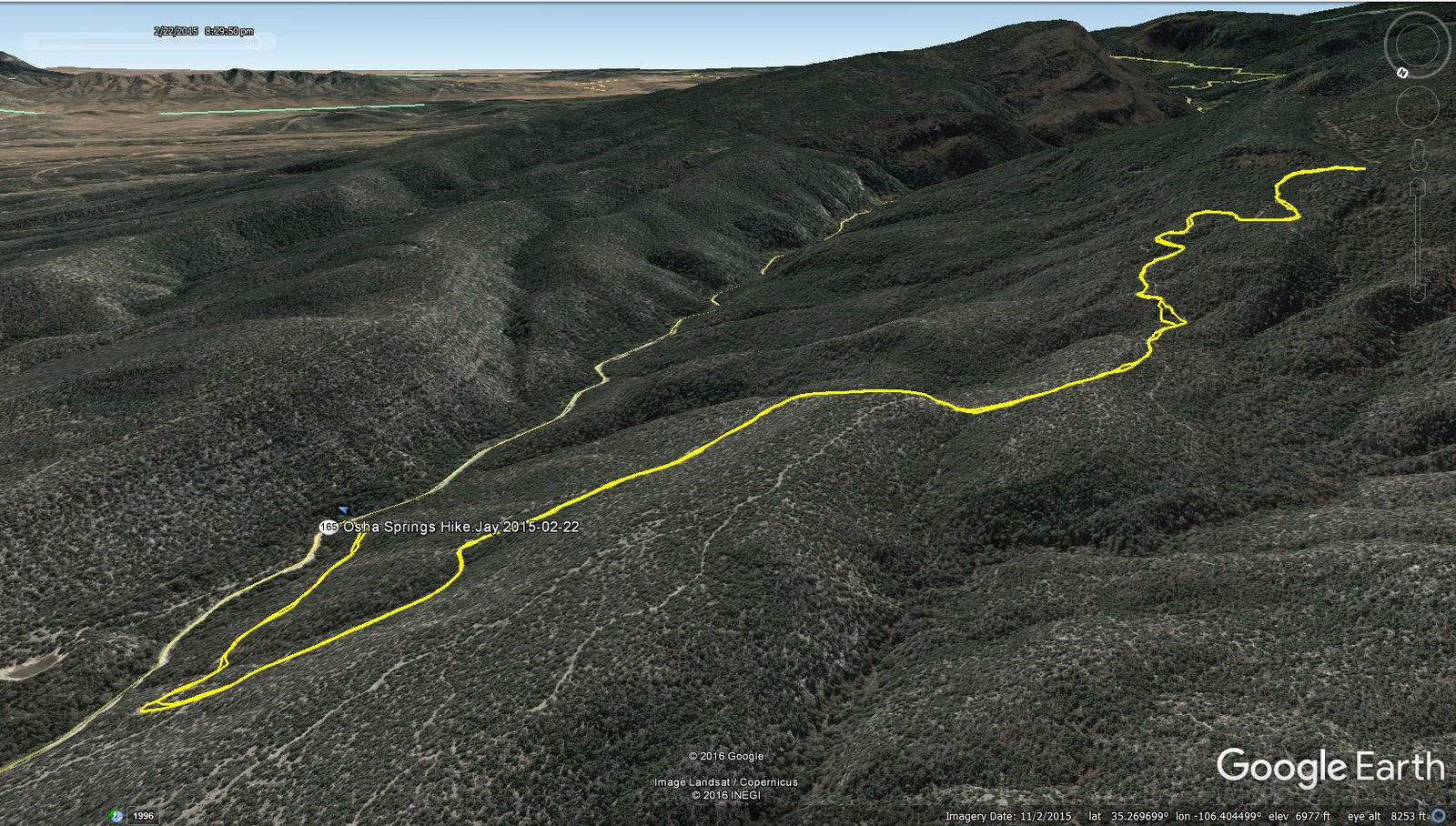
Osha Springs Hike.Jay.2015-02-22
Statistics
Total Distance: 4.16 miles
Elevation: start 6,508 ft, maximum 7,628 ft, minimum 6,508 ft
Gross gain: 1,120 ft. Aggregate ascending 1,254 ft, descending 1,268 ft
Maximum slope: 34% ascending, 31% descending, 11% average
Duration: 3:30
| GPS Track Files for Download | |
173 Downloads | |
|---|---|
130 Downloads | |
I urge you to explore our hiking tracks with Google Earth. With the virtual 3-dimensional presentation, achieved by panning and tilting the view, you can get a much better idea of the hikes and terrain than you can get from the 2-dimensional screenshot above. For assistance: Using Google Earth Track Files.
References
ondafringe: Day Hike: Osha Spring Trail
Sandia Hiking Guide: Osha Spring Trail
Trails.com: Osha Spring Trail #88
AllTrails.com: Osha Spring Trail
Cibola National Forest: Sandia Mountain Trails