Introduction
 After nearly a year off-trail, this is our first return to hiking – a short one but a step in rehabilitation from back issues that severely limited my mobility. It was a good choice – a seldom used two-track (even surface) and with little elevation gain (‘tho with some ups-and-downs for the walking stride to get re-accustomed to sloped terrain). So I post this “sub-hike” more to document it as to share with others. If it peaked your curiosity, check out the Related Posts below for other forays into Rio Cebolla and references to it on other hikes in the vicinity.
The Drive In
To get to the trailhead drive west on NM 126 up over the high terrain and down to Fenton Lake. At the entrance to the lake turn to the right to remain on NM 126 and continue for about 3 miles. Then turn right on NM 314 towards the Seven Springs Fish Hatchery. Past the fish ponds the road becomes a bit rough, not so rough as previous posts described; medium clearance vehicle is recommended. ‘Tis about 1.5 miles to the Seven Springs Picnic Site (formerly Campground – camping not allowed now). There is a pit toilet and some picnic tables, plus plenty of parking.
The Hike
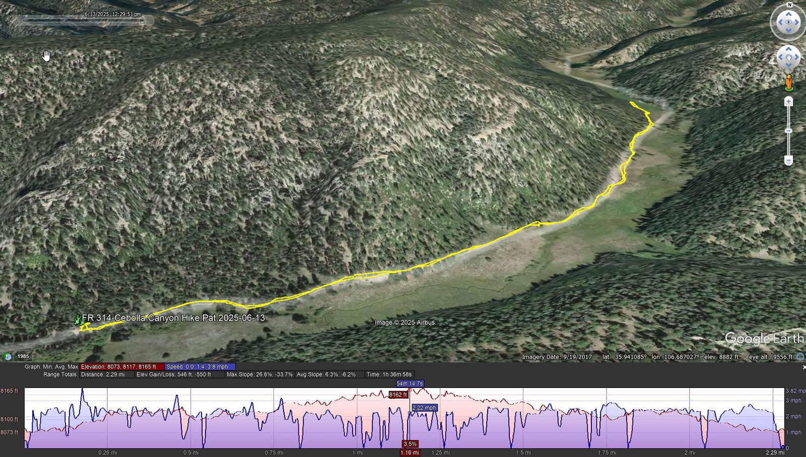
FR 314-Cebolla Canyon Hike.Pat.2025-06-13
Notes about the Google Earth screenshot: the graph at the bottom shows elevation of the track (pink area) and speed (the blue line).
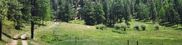
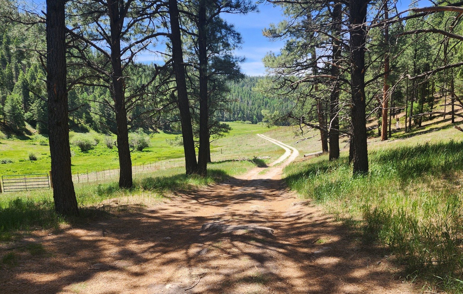
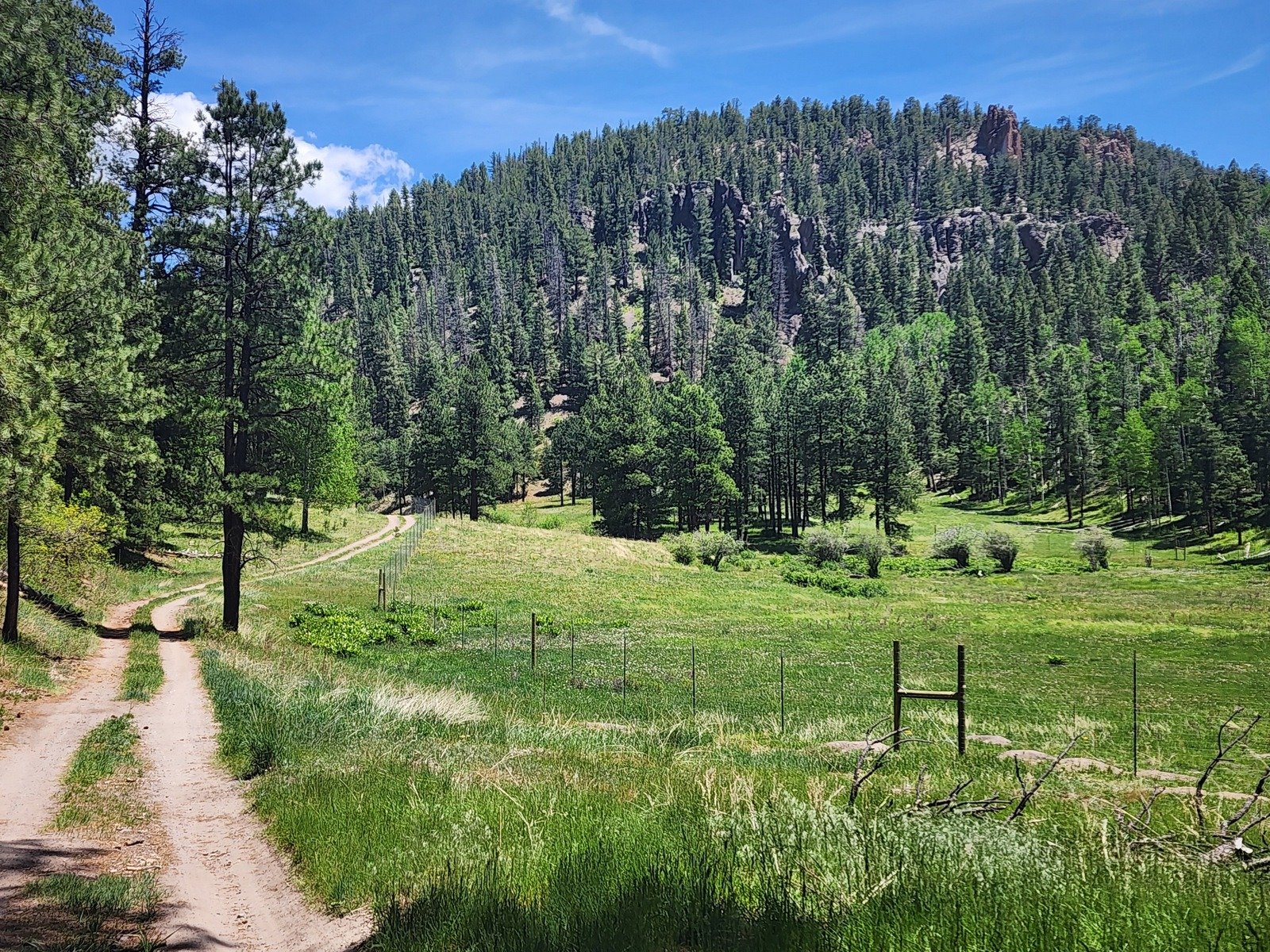 The Rio Cebolla is in a -beautiful canyon-. The trail follows a two-track used regularly by officers tending this “Red Chile Water”, a designation given by the NM Department of Game and Fish for streams receiving special attention. Their goal is the return of native fish, particularly Rio Grand Cutthroat trout, to New Mexico waters.
 We hiked in 1.2 miles where the two-track cross to the east side of the Rio Cebolla. For this day, that was as much as I wished to go. During the hike, I recalled some great hikes in Cebolla Canyon and in the canyons that come down from the ridge to the east – Oat, Hay, and Pony.
Statistics
Total Distance: 2.29 miles
Elevation: start 8,073 ft, maximum 8,165 ft, minimum 8,073 ft
Gross gain: 92 ft. Aggregate ascending 546 ft, descending 550 ft
Maximum slope: 27% ascending, 34% descending, 6% average
Duration: 1:37
| GPS Track Files for Download | |
102 Downloads | |
|---|---|
97 Downloads | |
If you haven’t explored these hiking tracks with Google Earth, I urge you to try it. With the virtual 3-dimensional presentation, achieved by panning and tilting the view, you can get a much better idea of the hikes and terrain than you can get from the screenshot above. For some ideas, check out Using Google Earth Track Files.
Related Posts
Cebolla Canyon Hike – 10/23/2017
Cebolla Canyon to Oat Canyon to Hay Canyon Hike – 04/23/2017
Cebolla Canyon Hike – 06/29/2014
All posts with reference to Cebolla Canyon (Rio Cebolla)
References and Resources
US Forest Service: AllTrails: Rio Cebolla Trail #68
US EPA: Watershed Program Reduces Sedimenation
New Mexico ENMR: Fenton Lake State Park
Southern New Mexico Explorer: Rio Cebolla-Santa Fe National Forest
Jemez Central – Rio Cebolla
New Mexico Wildlife: Red/Green Chile Waters …