Off to the Jemez now that weather is getting warm. Opted today for an ASCHG hike, Oat-Hay Canyons to Bottom Short Hike.
The Drive In
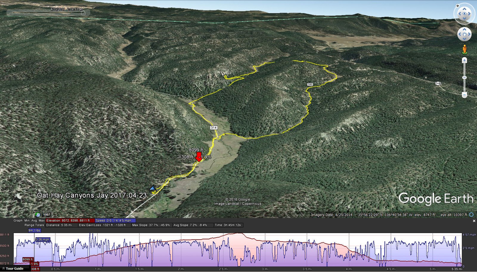
To get to the trailhead in Cebolla Canyon, go west out of on NM 126, past Fenton Lake, then turn right onto FR 314, continue past the Seven Springs Hatchery; this is a very rough road – high clearance vehicle recommended. Park about 1.6 miles up FR 314 where a gate blocks further access.
The Hike
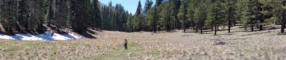
Oat & Hay Canyons.Jay.2017-04-23
The first half mile is on the forest road; then turn right to cross the Rio Cebolla towards the entrance to Oat Canyon (the first canyon on your right). This day the bottom was quite soggy, nice flow of water in Rio Cebolla and some coming out of Oat Canyon – melting snow from a storm a week before. The “trail” is on a little-used two track for about a mile through open forest in the bottom of the canyon, then for another six tenths on a mile on a two-track with easier walking.
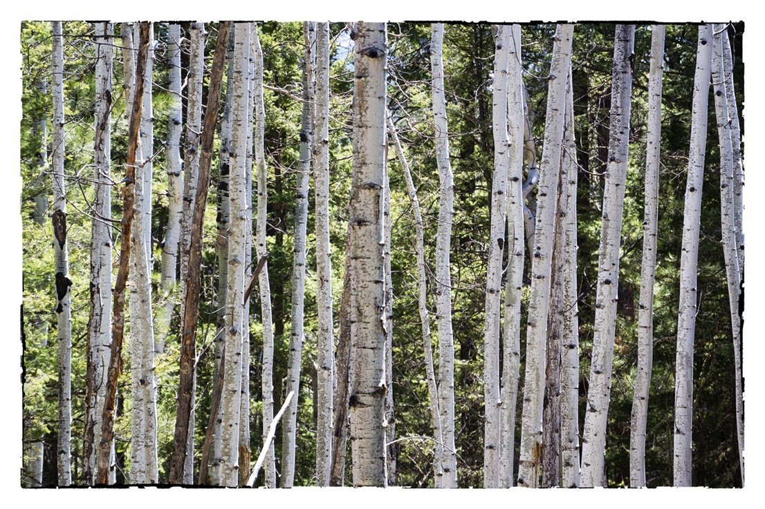
Flora for the day: These canyons and adjacent mesas have many stands of healthy aspen.
Following ASCHG’s track with the GPS, we turned left and up over the ridge between Oat and Hay Canyons following a clearly defined trail. At the top we stopped for mid-hike break, then down the north side of the ridge – a bit steeper but an easy descent. The bottom of Hay Canyon is a wide meadow for about half a mile, then becomes wooded.
Before descending through the lower part of the canyon, we took a side trip along the top of a near-cliff face with the idea we might be able to descend, or at least have a vista view. But since we decided we would likely have to backtrack a half mile or more, we returned to the bottom of the canyon and descended the steepest part of the hike. This section was not at all difficult – rocky at times but no big-rock obstacles.
Upon reaching the Rio Cebolla bottomland, it was a half mile back to where we entered Oat Canyon, then the last half mile back to the parking.
Jay here: Another satisfying hike in the Jemez thanks to cooler temperatures at 8,000+ ft of elevation. It was more two track than we would have wanted, but the scenery made up for it. Coming upon a significant grouping of hoodoos was an unexpected bonus to the hike.
Statistics
Total Distance: 4.50 miles
Elevation: start 8,067 ft, maximum 8,801 ft, minimum 8,067 ft
Gross gain: 734 ft. Aggregate ascending 1,047 ft, descending 1,088 ft
Maximum slope: 41% ascending, 46% descending, 7.6% average
Duration: 3:19
| GPS Track Files for Download | |
199 Downloads | |
|---|---|
299 Downloads | |
I urge you to explore our hiking tracks with Google Earth. With the virtual 3-dimensional presentation, achieved by panning and tilting the view, you can get a much better idea of the hikes and terrain than you can get from the 2-dimensional screenshot above. For assistance: Using Google Earth Track Files.
References
ASCHG: Hay Canyons to Bottom Short Hike
ondafringe: Exploratory Hike: Cebolla Canyon
AroundGuides:
Oat Canyon (great interactive map of area features)
Hay Canyon (great interactive map of area features)


