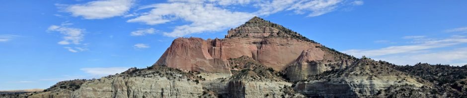
On the spur of a moment, we went for a long weekend (yes, weekends are for retired folks, too) to spend a day in and around Gallup. Avoiding the Interstate both going and returning 2 days later, we took New Mexico and Navajo Nation roads north of I-40 and enjoyed much the scenery (not desolate for us New Mexicans) and the absence of traffic. On the way home I had interesting feelings traveling through the dispersed Navajo communities, embellished by listening to chapters in Kent Nerber’s book “Neither Wolf nor Dog”. Tho set in the northern Great Plains, the discussion of the interactions between native American and ‘white’ American culture seemed fitting.
The Drive In
We stayed the 2 nights in the famous El Rancho Hotel (we stayed in the ?? ?? room). So, from there take old Route 66 (aka SR 118, right in front of the Hotel) east for 6.9 miles, turn left on SR 566 towards Red Rock Park. A half mile on, turn left into the park, continue past the campground and until you are surrounded by corrals (rodeos are held here throughout the year). There were signs along the way encouraging us to continue to the Pyramjd Rock Trail. From there, the trailhead is a short walk further on.
The Hike
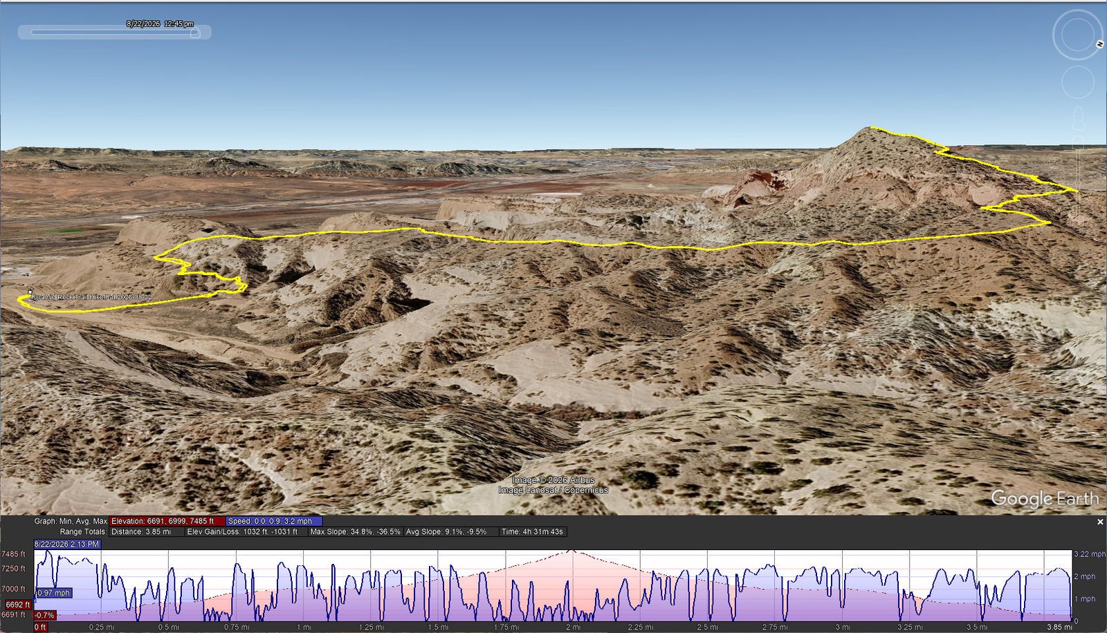
Pyramid Rock Trail Hike.Pat.2026-08-22
Notes about the Google Earth screenshot: the graph at the bottom shows elevation of the track (pink area) and speed (the blue line). Click on the image for a full-screen view.
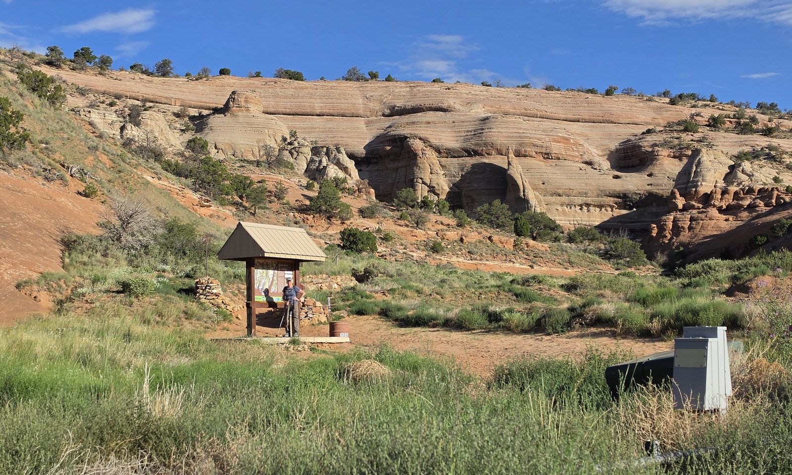 I will start by saying that, although we were up early for the 0700 breakfast, by the time we got to the trail the sun was already making for a hot day. Fortunately, there were occasional juniper trees alongside the trail where we could pause to cool down (a little bit).
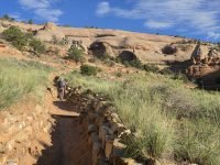
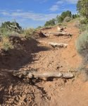
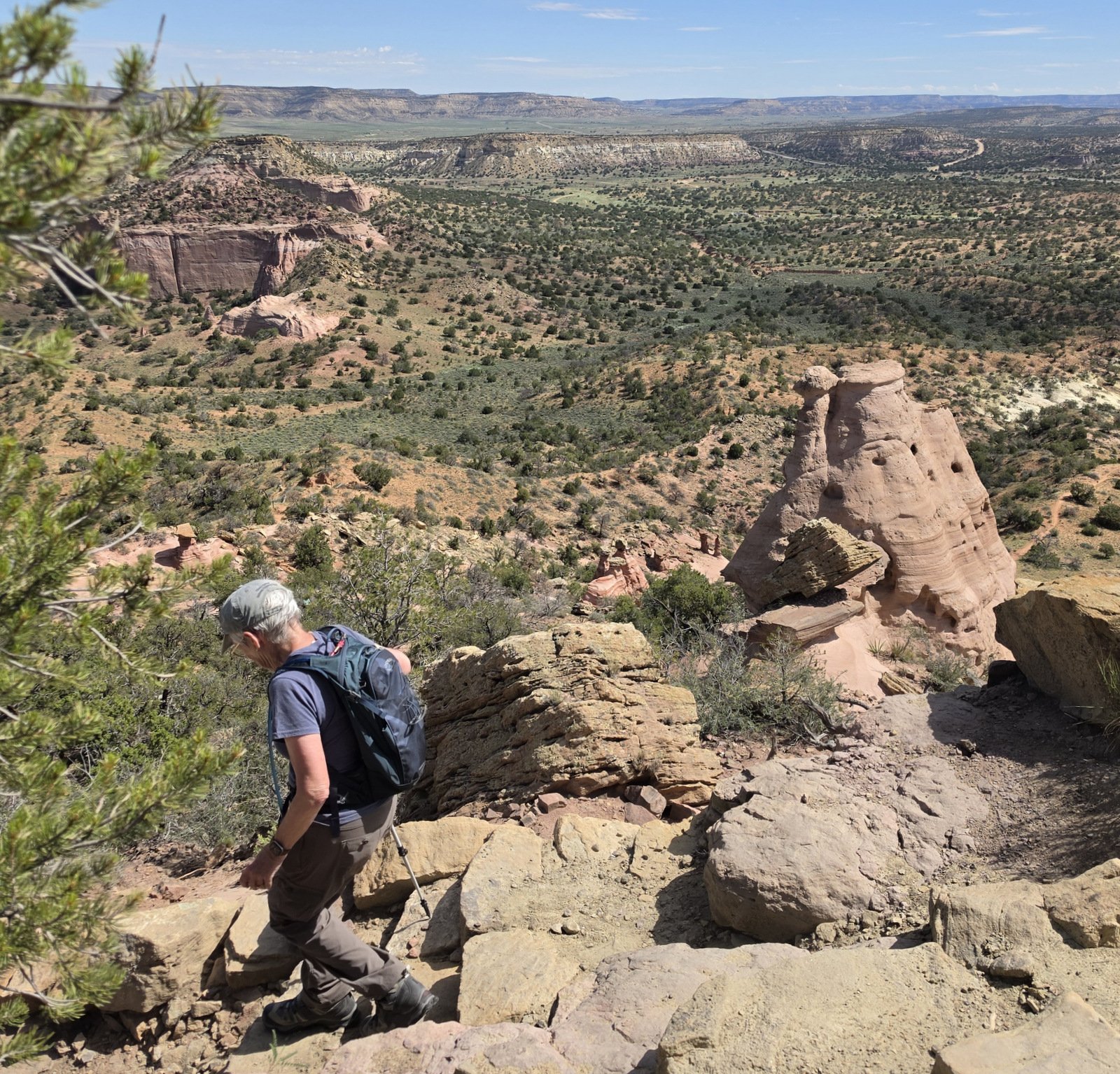
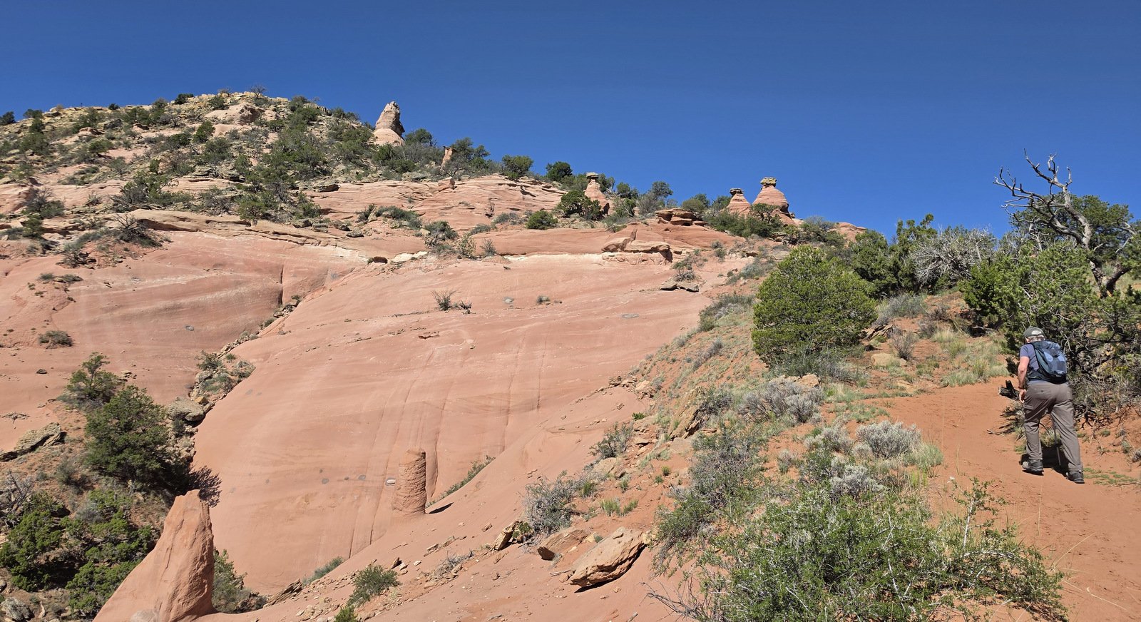 A bit further on the trail crossed extensive sections of slickrock (exposed sandstone surfaces). On the steeper sections or where the trail crossed layers of sandstone, small steps had been cut to facilitate getting up to the next level.
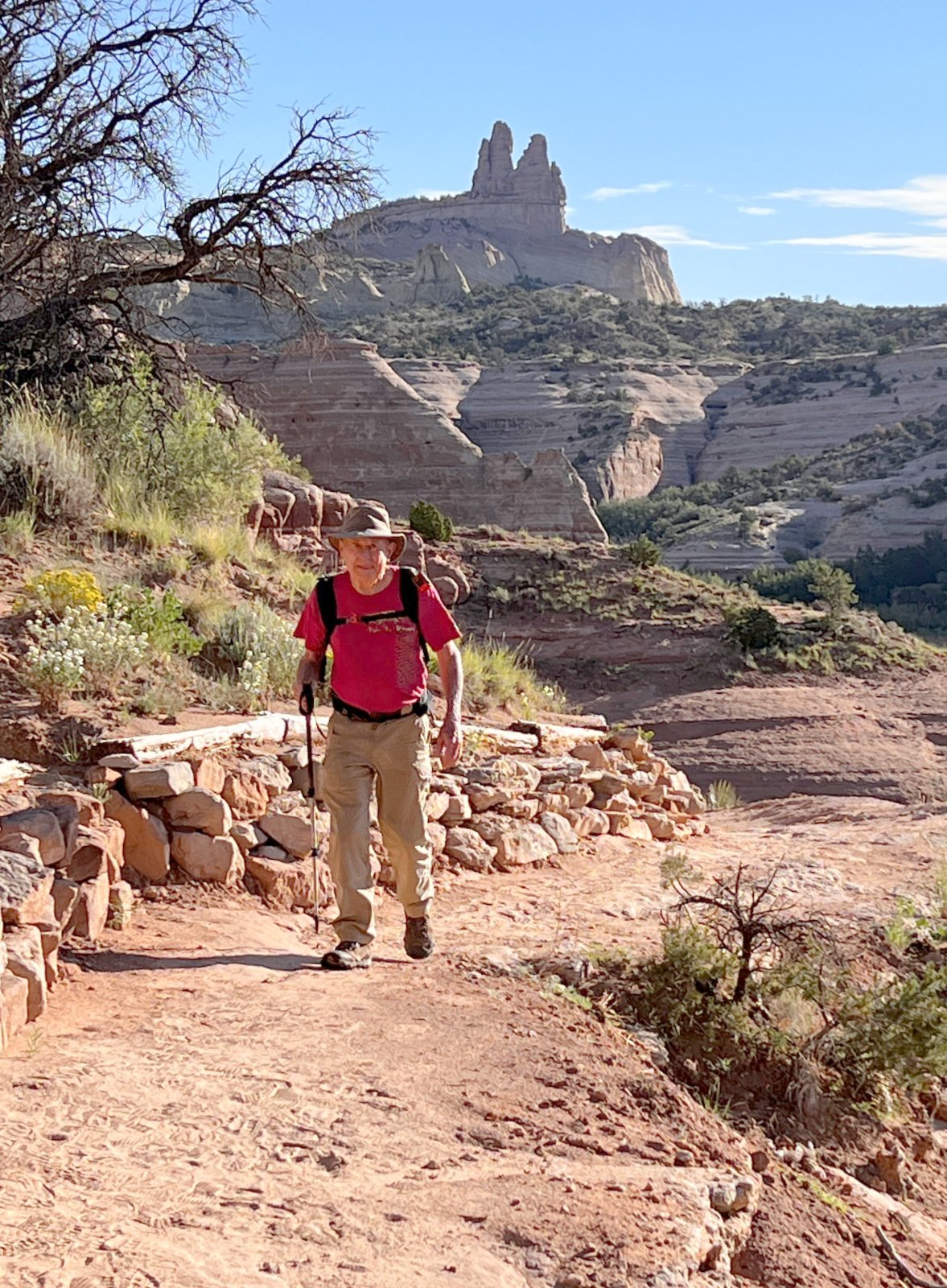
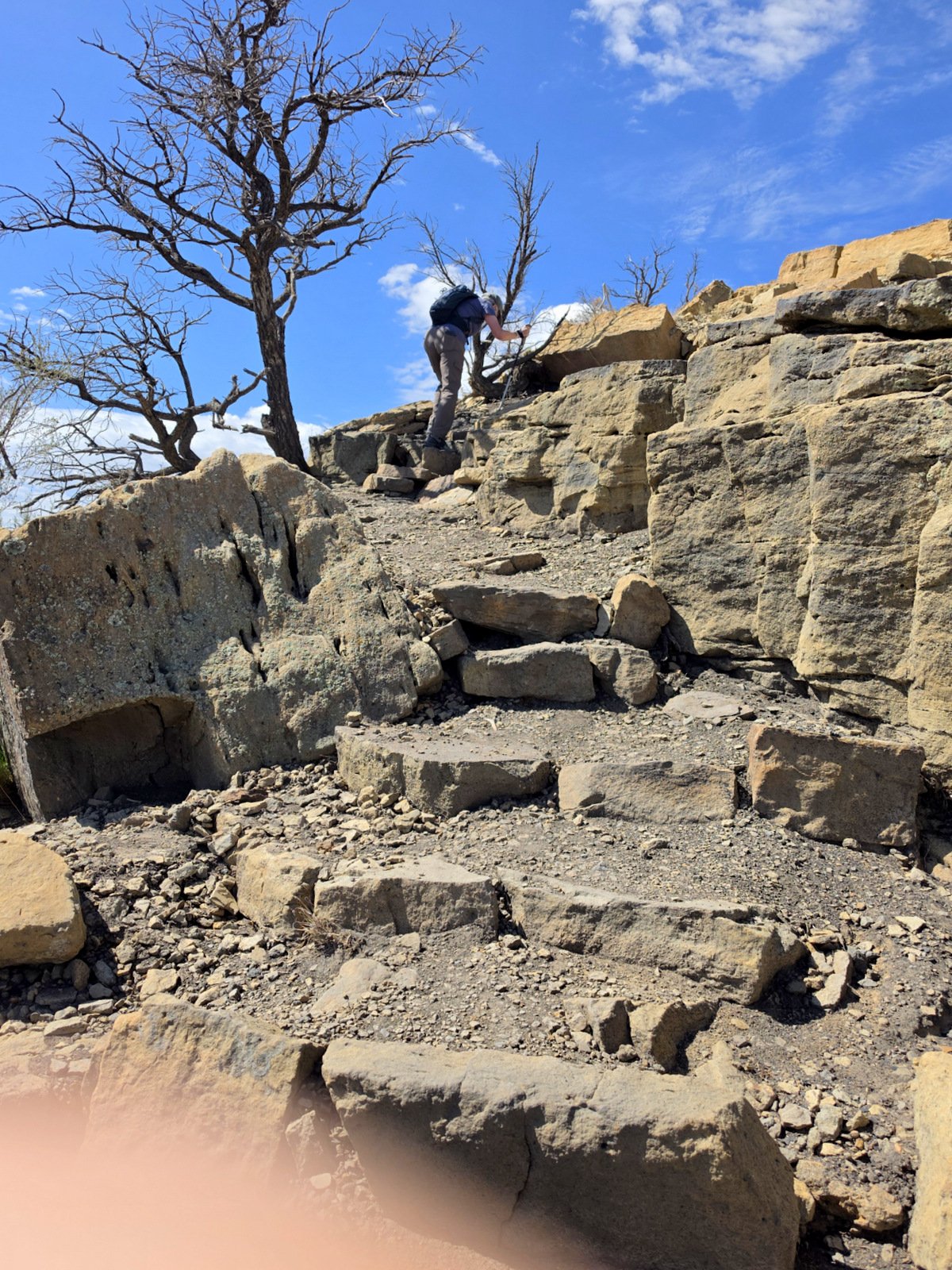
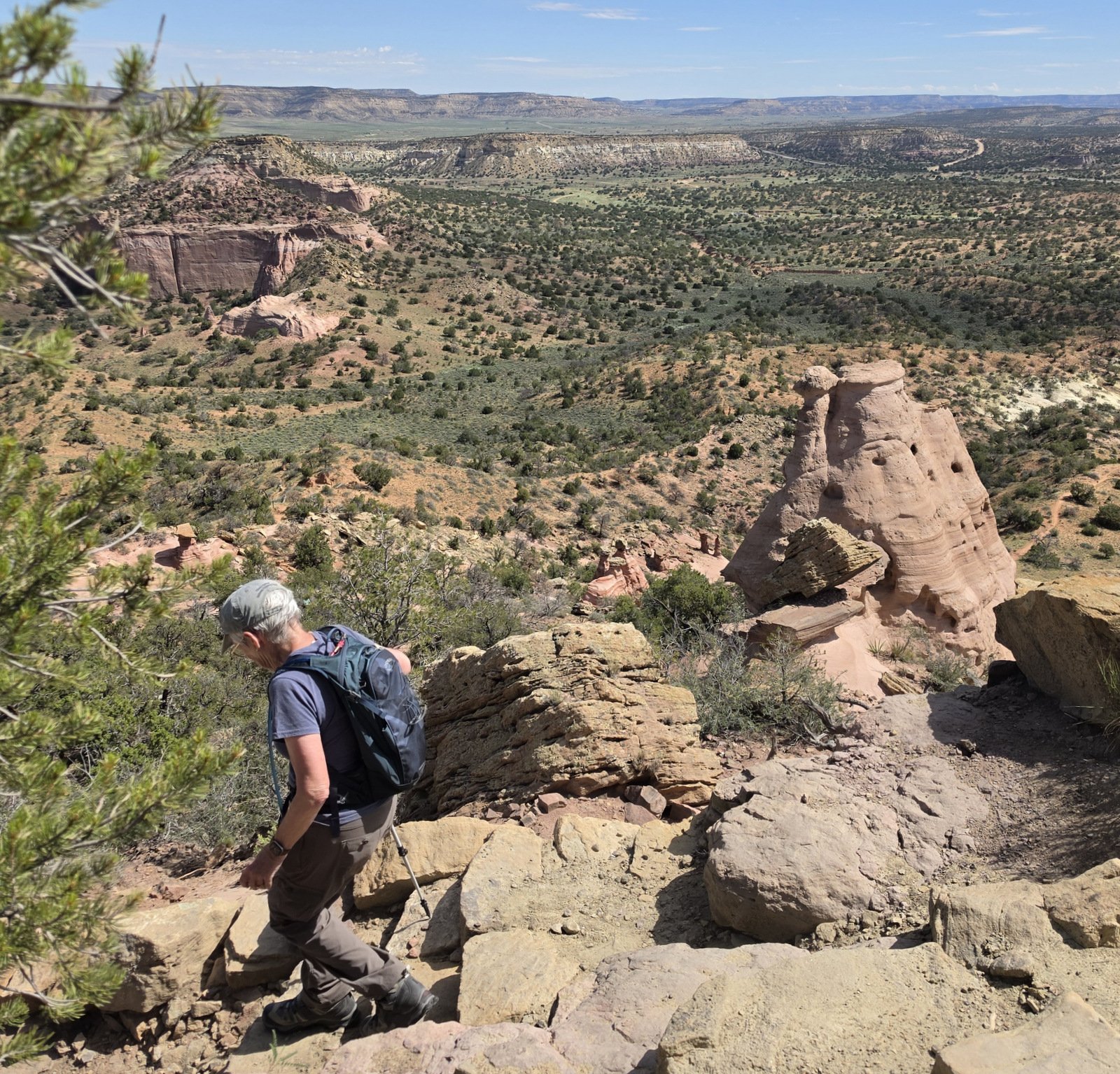
There were sections that were easy going, and sections that were quite challenging.
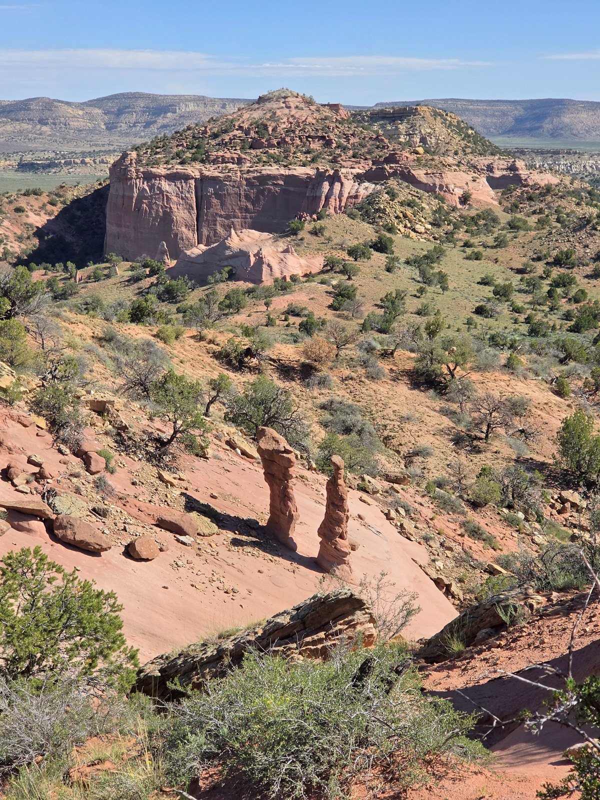
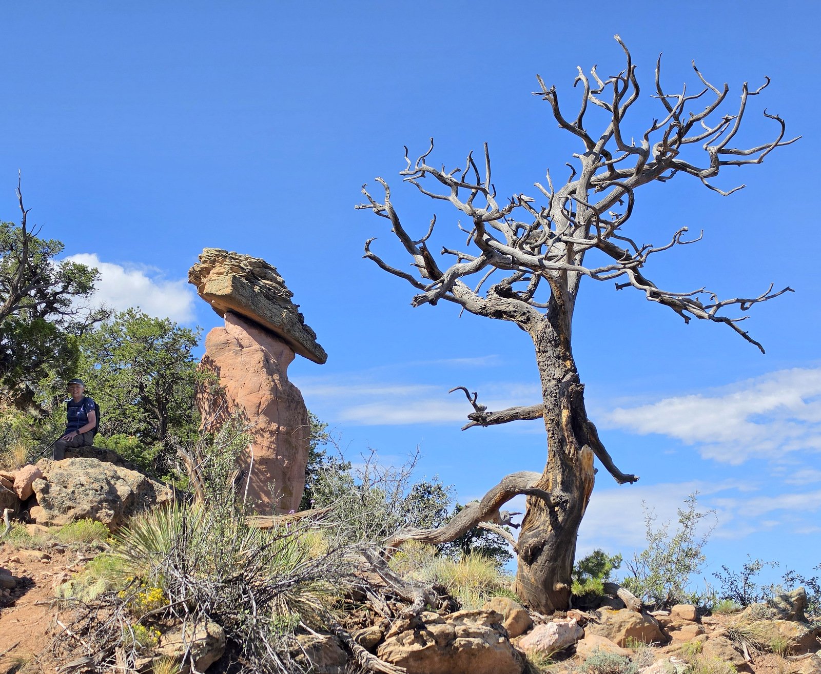
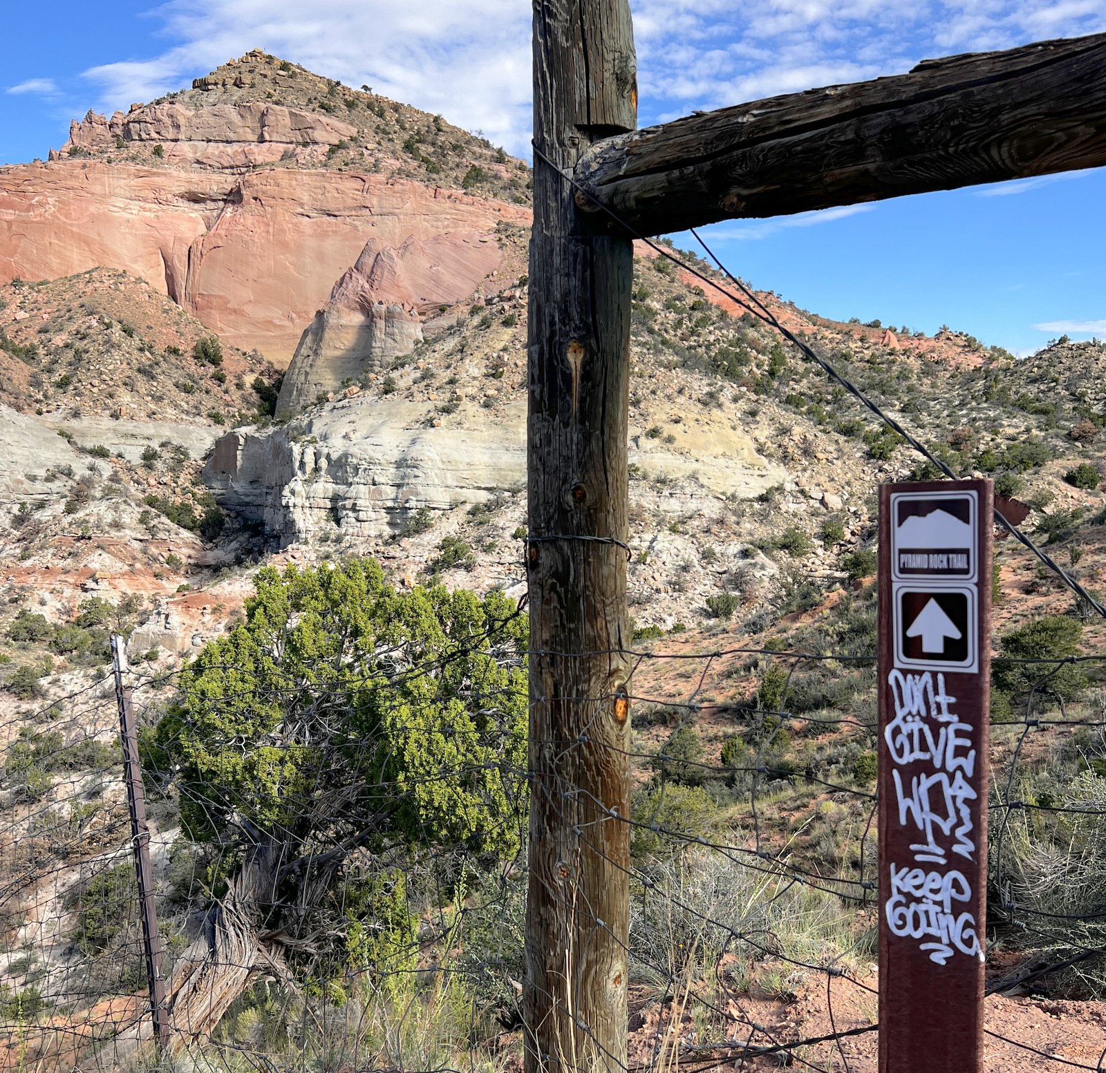
Along the way we had views of the most interesting geology. And about half way to the top, a sign with some encouragement “.. KEEP GOING”.
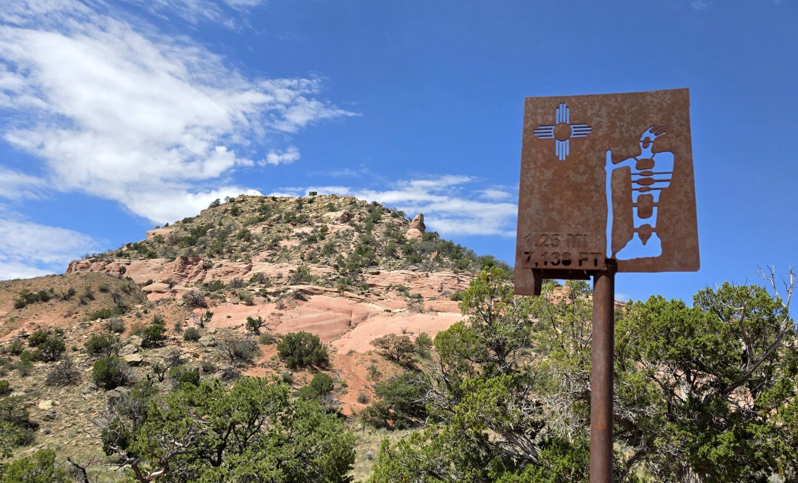
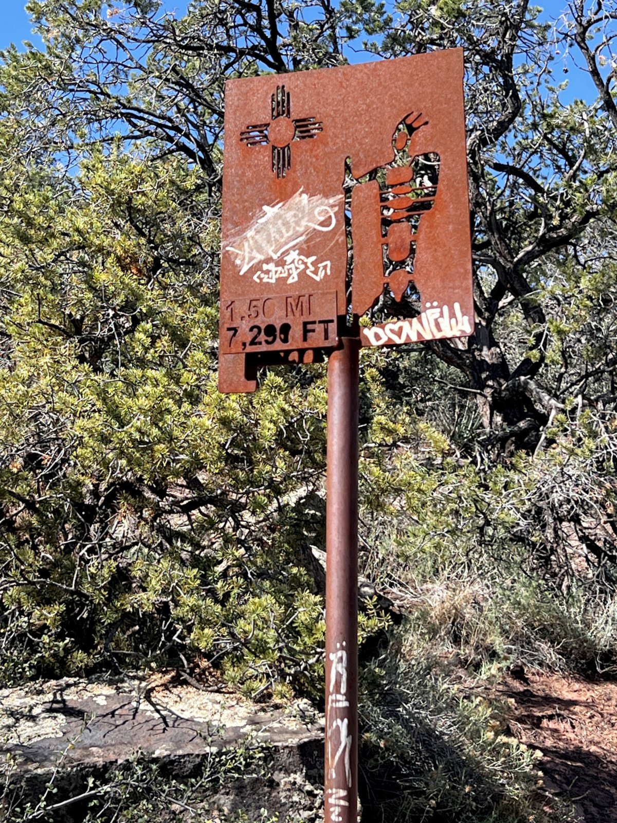
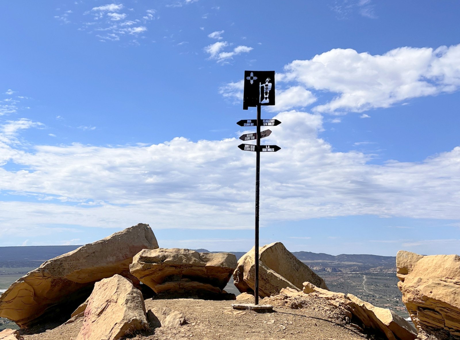
We understand hiking up Pyramid Peak is for some people a special experience, if not spiritual. There were signs along the way that evoked such an idea, including the one at the top.
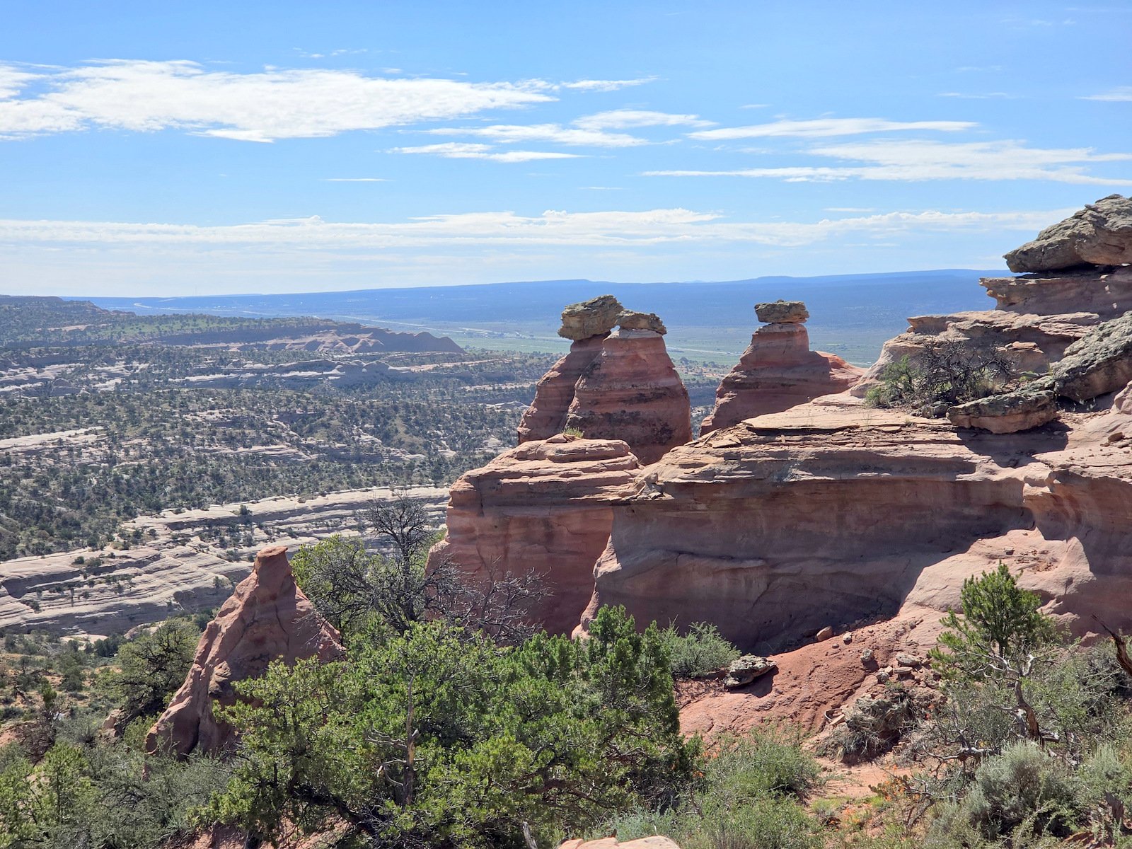
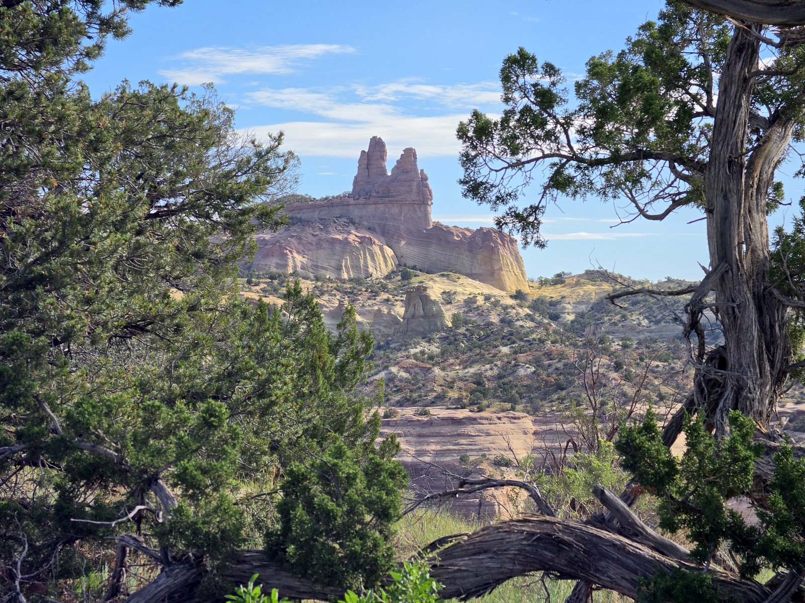
As mentioned above, there is beauty in the geologic formations along the way; here are more examples.
Statistics
Total Distance: 3.85 miles
Elevation: start 6,692 ft, maximum 7,485 ft, minimum 6,691 ft
Gross gain: 794 ft. Aggregate ascending 1,032 ft, descending 1,031 ft
Maximum slope: 35% ascending, 37% descending, 9.3% average
Duration: 4:32, Average Speed: 0.9 mph, Shade: 0%
| GPS Track Files for Download | |
2 Downloads | |
|---|---|
2 Downloads | |
3 Downloads | |
| If you haven’t explored these hiking tracks with Google Earth, give it a try. With the virtual 3-dimensional presentation, achieved by panning and tilting the view, you can get good idea of the hike and the terrain. For some ideas, check out Using Google Earth Track Files. | |
References and Resources
AllTrails: Red Rocks at Pyramid Rock
Visit Gallup: Red Rock Park Trails
The Mountains of New Mexico: Pyramid Rock
An Inspired Cook: Pyramid Rock Trail
SummitPost.org: Pyramid Rock
thehealinghikker: Gallup’s Hidden Gem — Climbing Pyramid Rock in Red Rock Park (YouTube video, worth watching)
Views to date: 2 views.