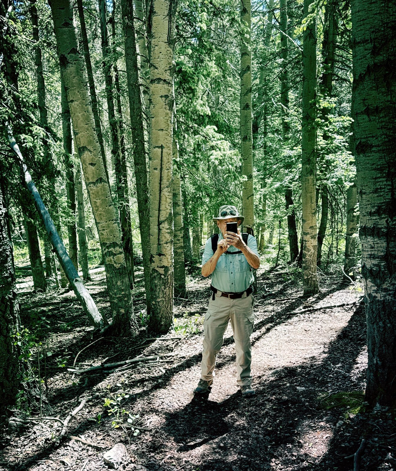
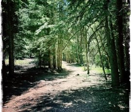
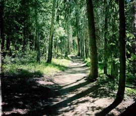
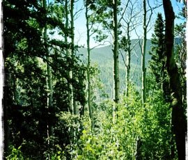
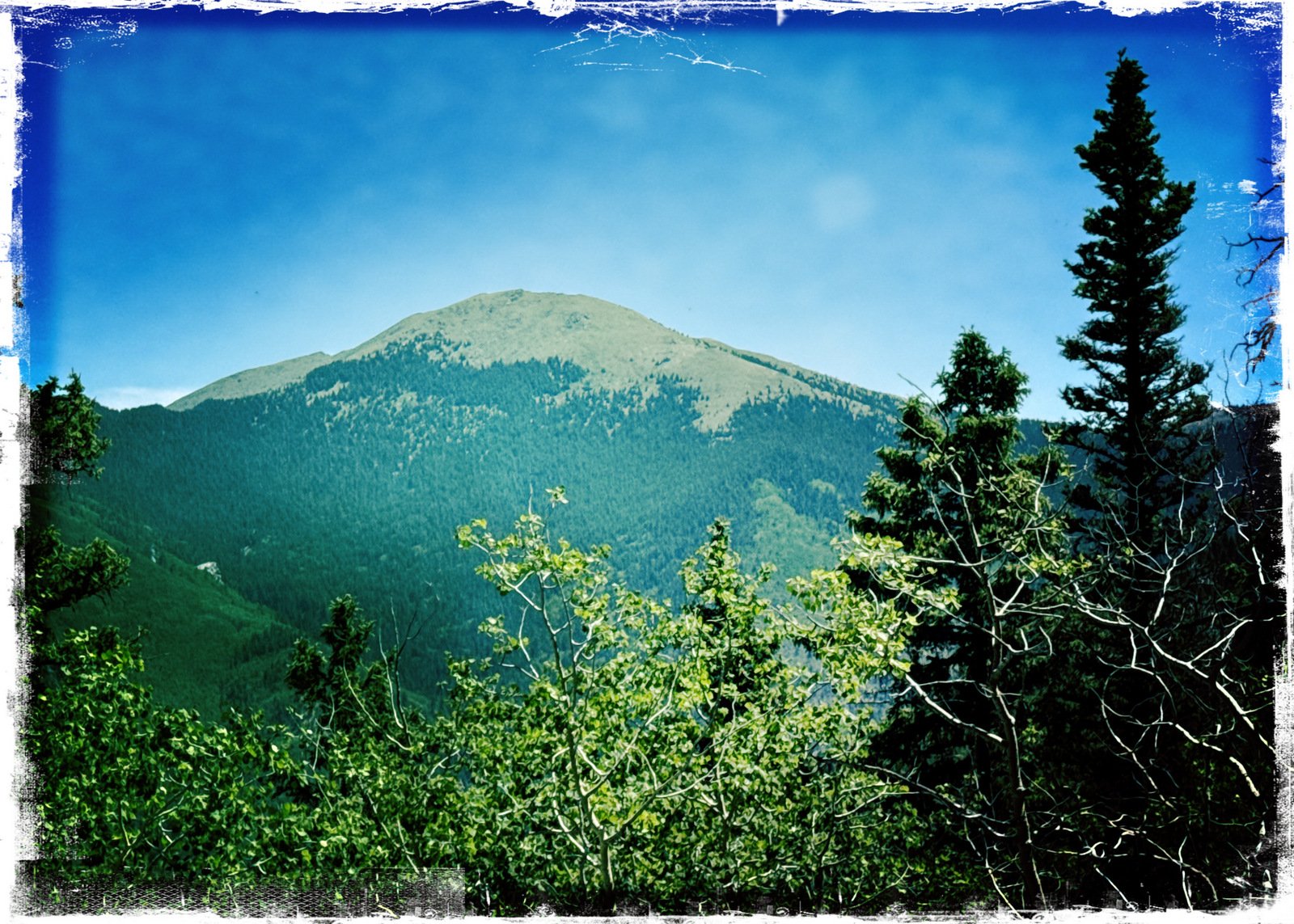
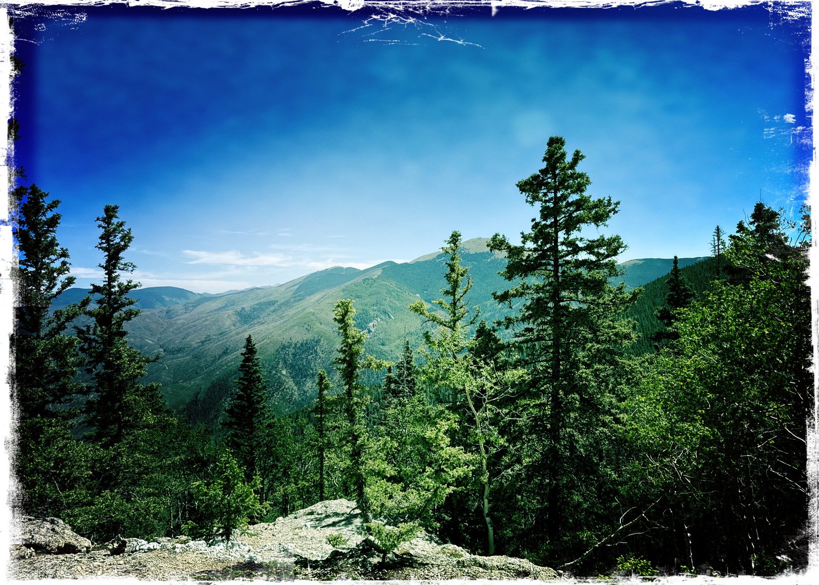
It is HOT in New Mexico this year. So … we go hiking up in the mountains.
The Drive In
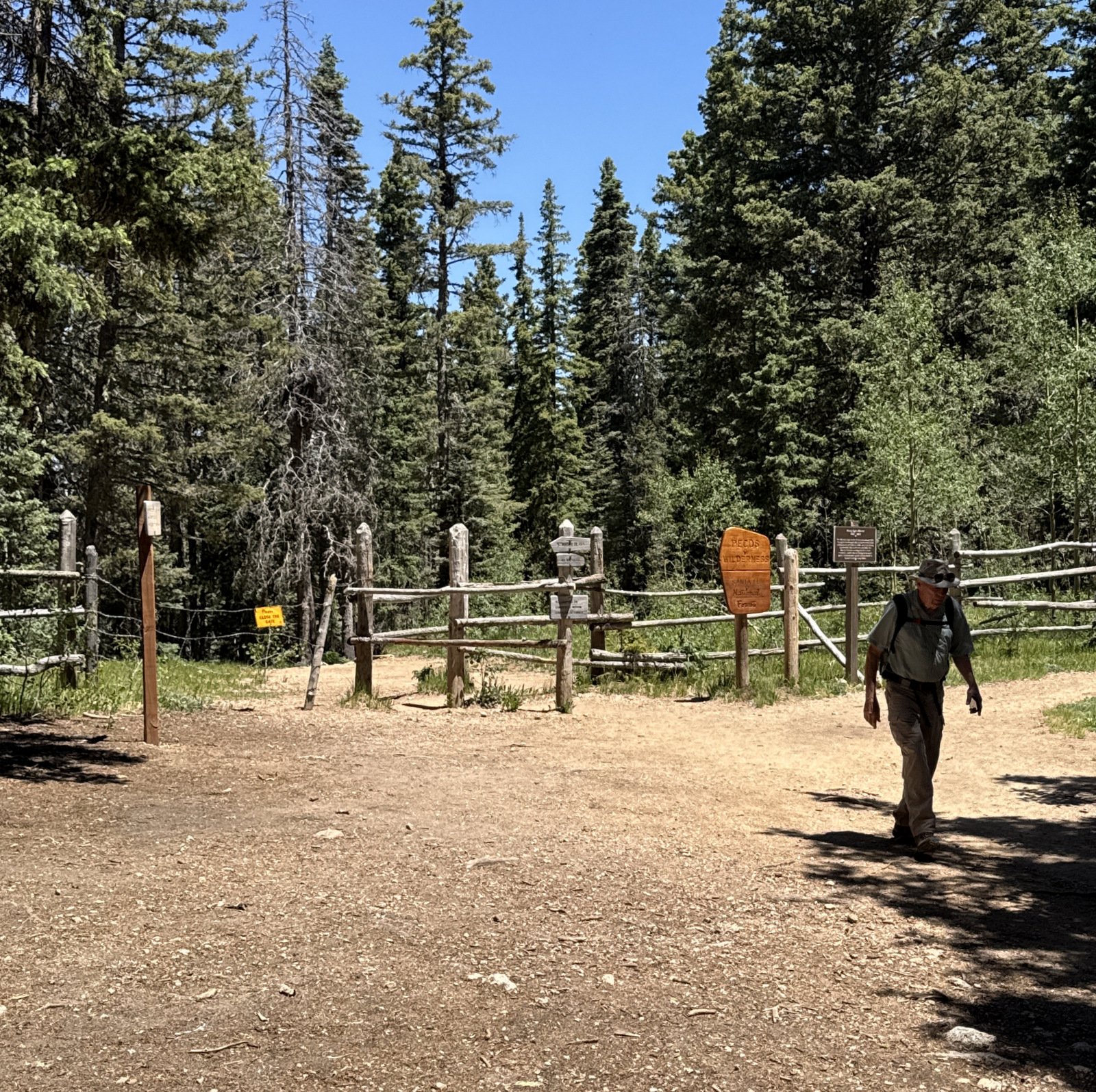
This hike begins at the Winsor Trailhead, located at the end of Hyde Park Road. As one approaches the Ski Santa Fe parking areas, stay to the left, go part way around the loop, and park in the northwest parking area. The Trailhead is across from the parking lot, to the northwest.
The Hike
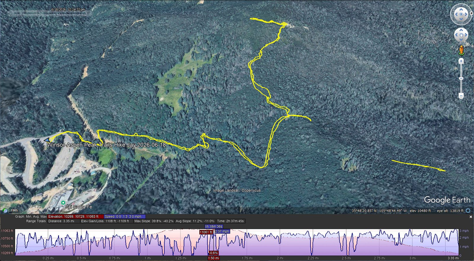
Winsor-Aspen Peak Trails Hike.Jay.2026-06-18 Notes about the Google Earth screenshot: the graph at the bottom shows elevation of the track (pink area) and speed (the blue line). Click on the image for a full-screen view.
We welcomed the cooler temperature compared to the 90+ days in the city. At 10,200 feet (going to 11,000) we thought we might need another layer of clothing – but we warmed up quickly once on trail, and so did the sun.
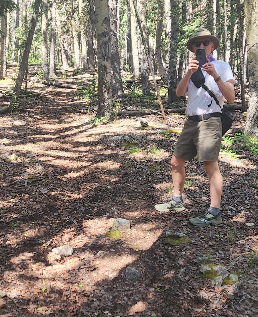
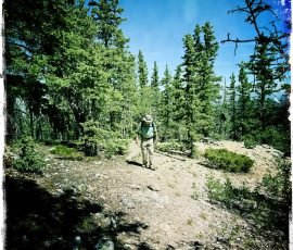
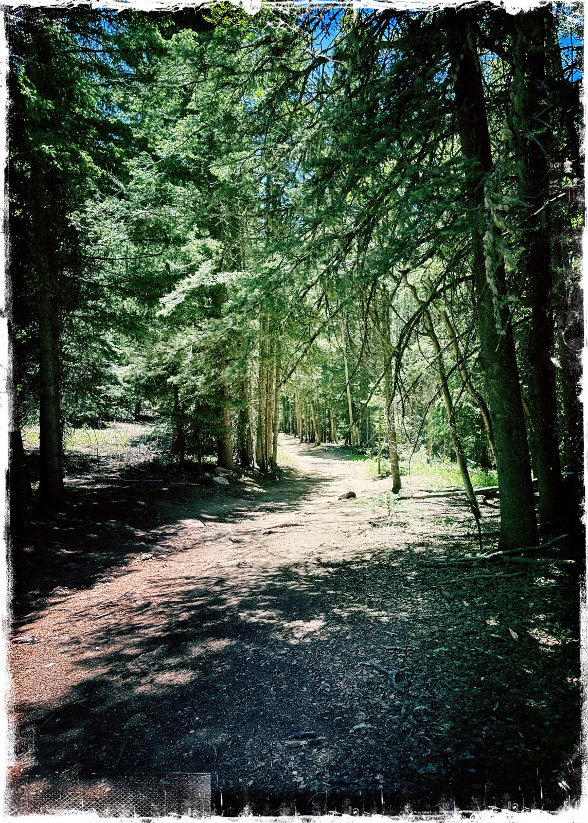
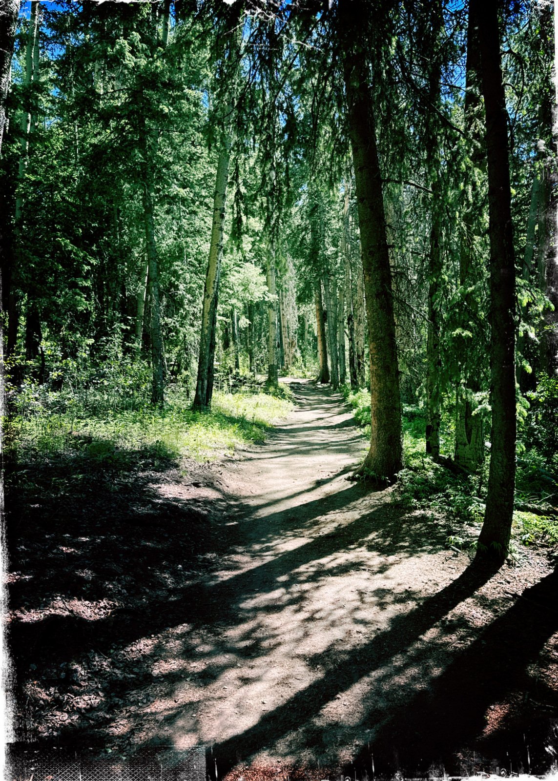
This Winsor Trailhead is quite popular – lots of parking, easy to access, and it offers many options. This being our first hike at altitude this year and facing significant elevation gain, we were content to go as far as the ridge (500 feet in 7/8 of a mile). The trail is very well used – most of the distance it is wide enough to ambulate side-by-side – great for families.
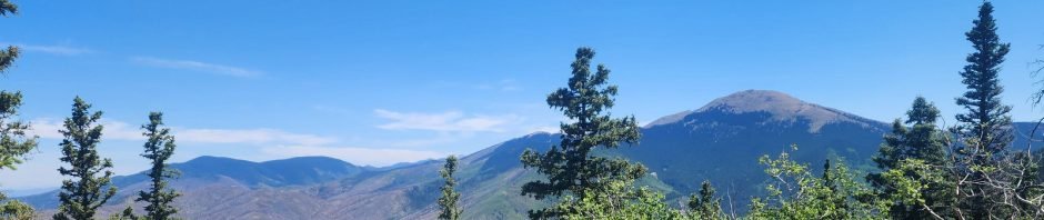
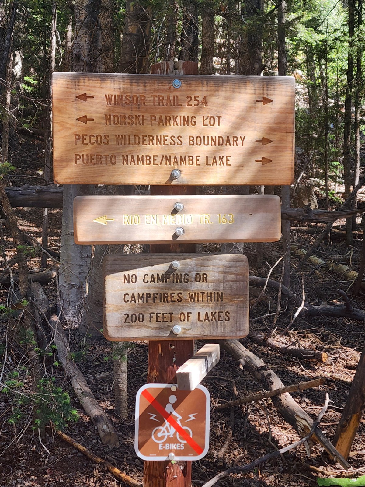
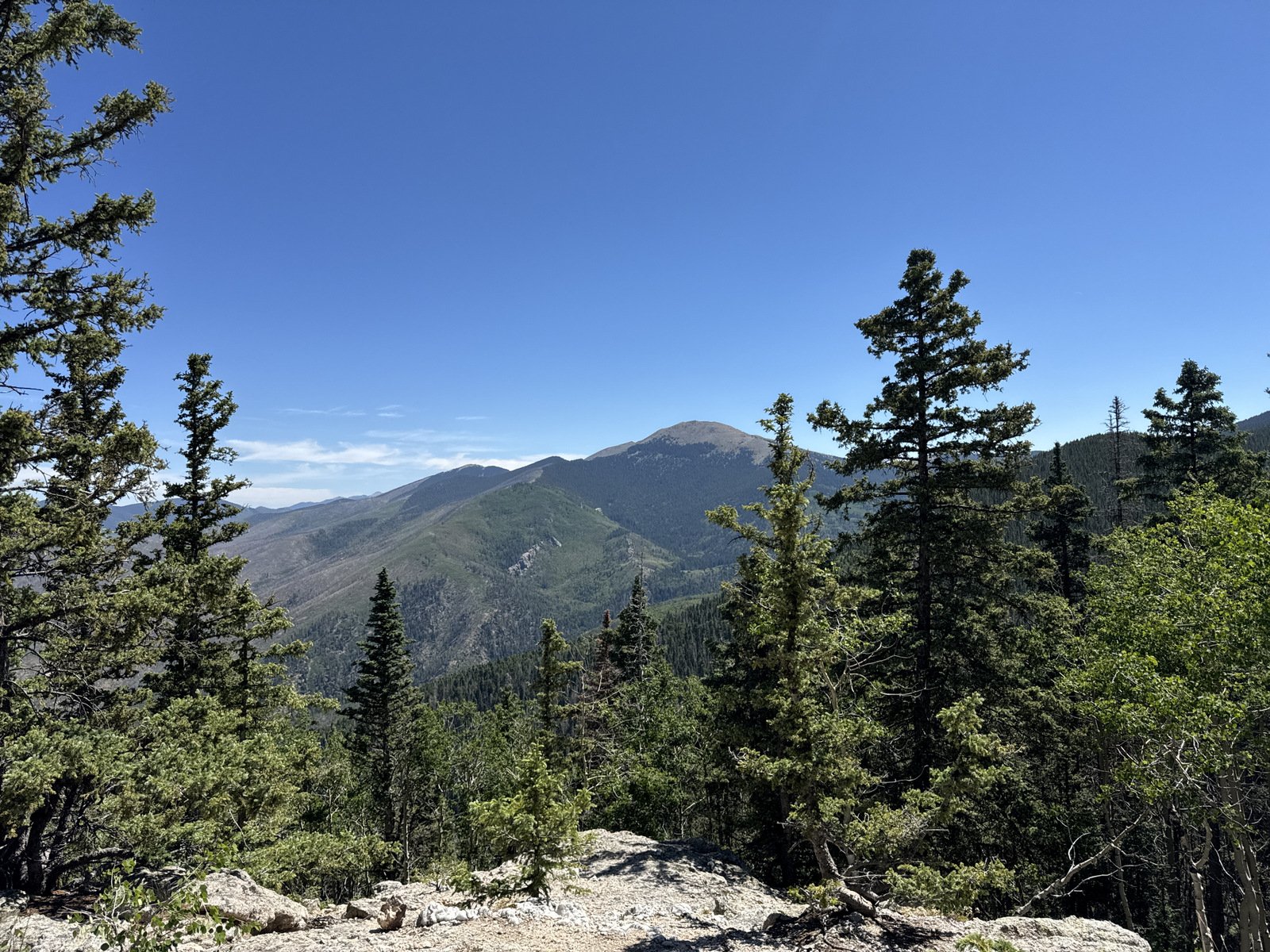
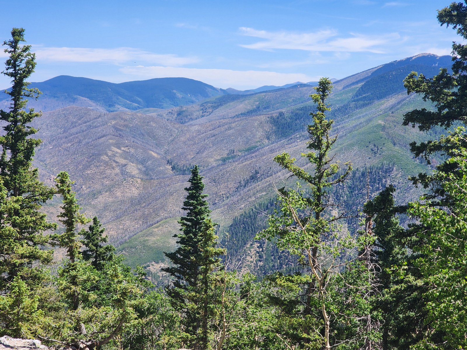
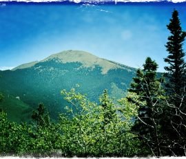
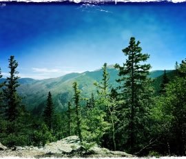
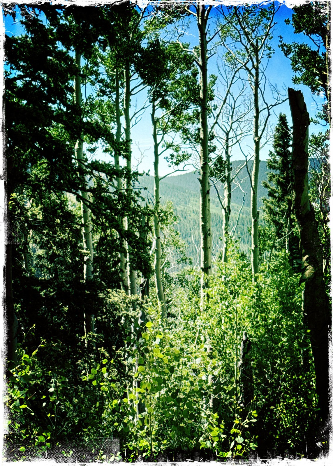
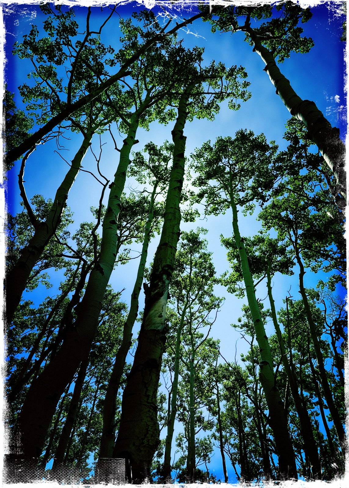
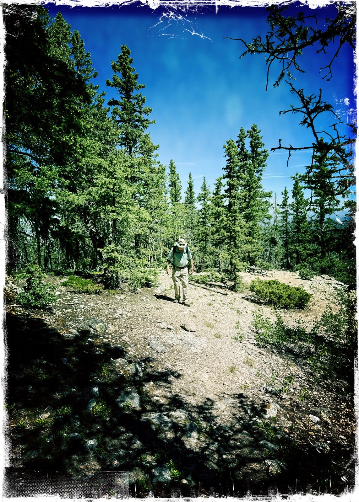
Reaching the top of the ridge and the boundary between the Santa Fe National Forest and the Pecos Wilderness, we chose to explore the trail to Aspen Peak by turning left from the Winser Trail onto what we’ve dubbed the Aspen Peak Trail. This trail isn’t well used, most of it walking on pine needles through a pleasantly open forest. The slope is shallow for a quarter mile, then increases towards a shoulder of the peak. From there it is generally level to the far side of the peak where we had a great view across the Rio Grande valley to the Jemez Mountains – we could even pick out Redondo and Chicoma mountains in the Valles Caldera National Preserve.
We returned to the Winser Trail, and still with some energy, we chose to continue further on the Winser “for old times sake”, going for 3/10ths of a mile, then returning to the trailhead for a great first-of-season hike at high elevation.
Statistics
Total Distance: 3.35 miles Elevation: start 10,270 ft, maximum 11,063 ft, 10,269 minimum ft Gross gain: 794 ft. Aggregate ascending 1,108 ft, descending 1,109 ft Maximum slope: 40% ascending, 40% descending, 11.1% average Duration: 2:38, Average Speed: 1.3 mph, Shade: 90%
If you haven’t explored these hiking tracks with Google Earth, give it a try. With the virtual 3-dimensional presentation, achieved by panning and tilting the view, you can get good idea of the hike and the terrain. For some ideas, check out Using Google Earth Track Files.
— For an inline photo, click on it to display a larger image. Then [back] on your browser to return to the page.
— Some links that are marked out, suggesting they are “dead links”, will work. They go to a site that the Broken Links Finder cannot access, but -you- can.