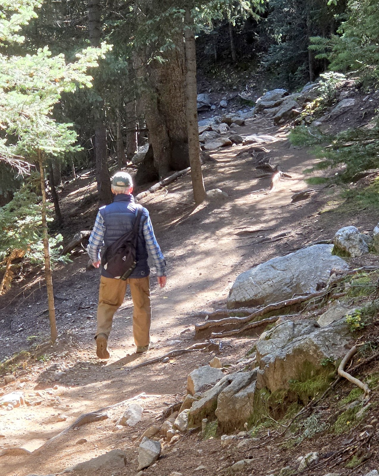
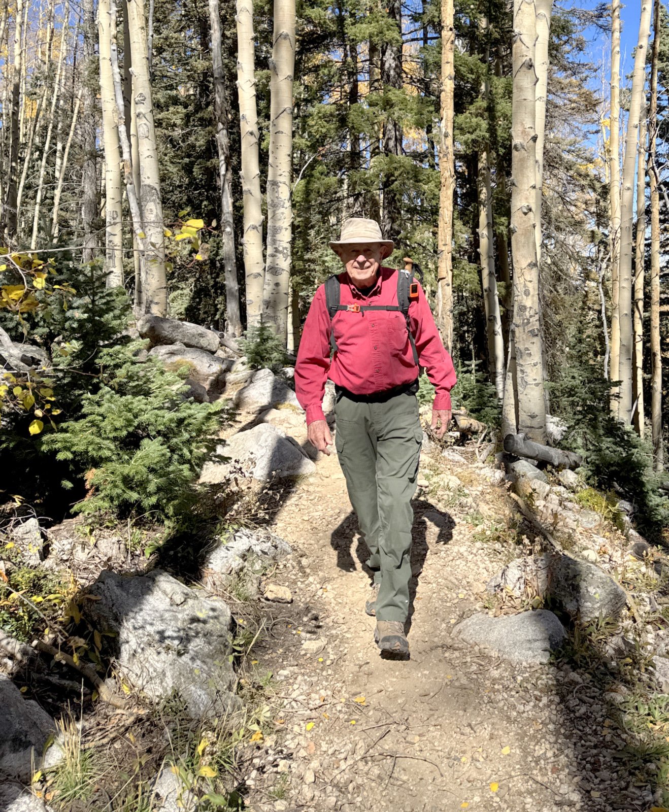
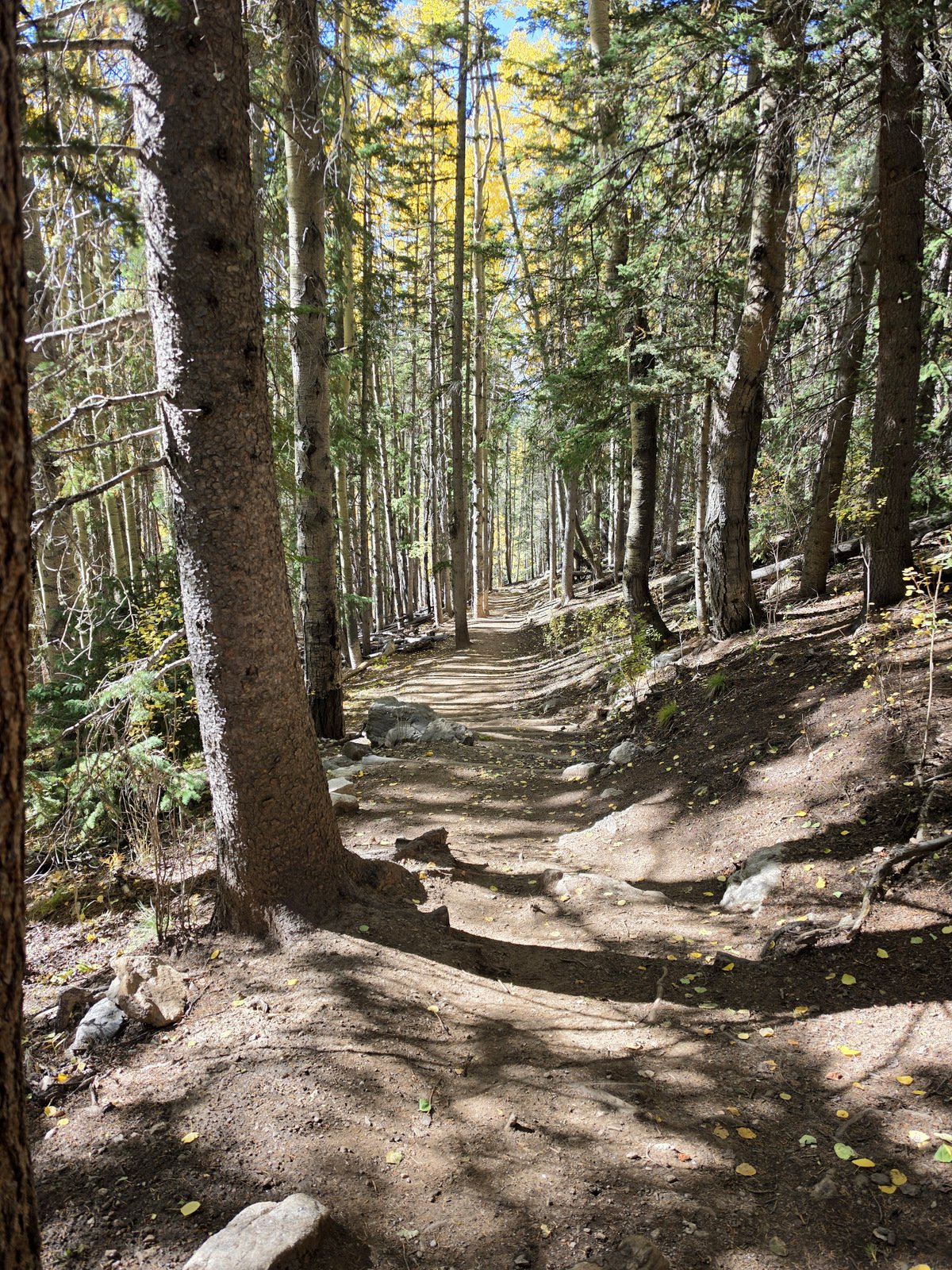
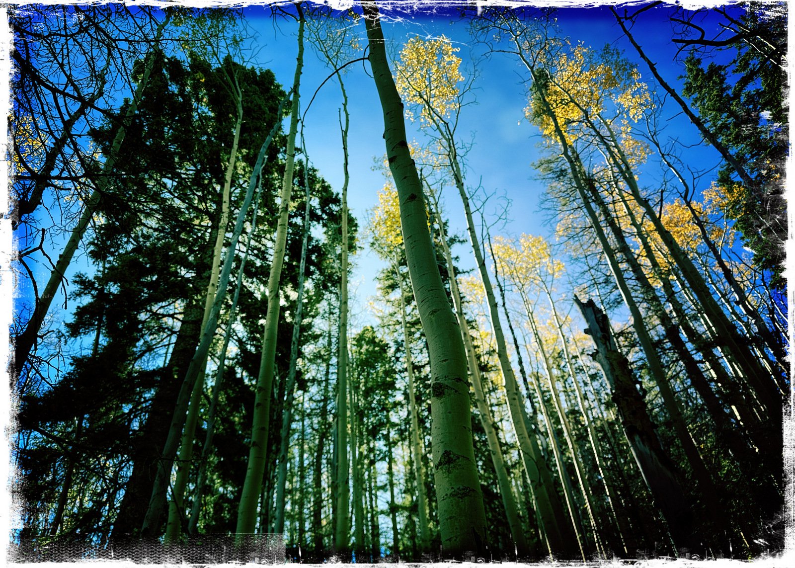
Jay and I have set our sights on making it to Nambe Lake this fall. So .. we gave it a go.
The Drive In
This hike begins at the Winsor Trailhead, located at the end of Hyde Park Road. As one approaches the Ski Santa Fe parking areas, stay to the left, go part way around the road loop, and park in the northwest parking area. The Trailhead is across from the parking lot, to the northwest.
The Hike
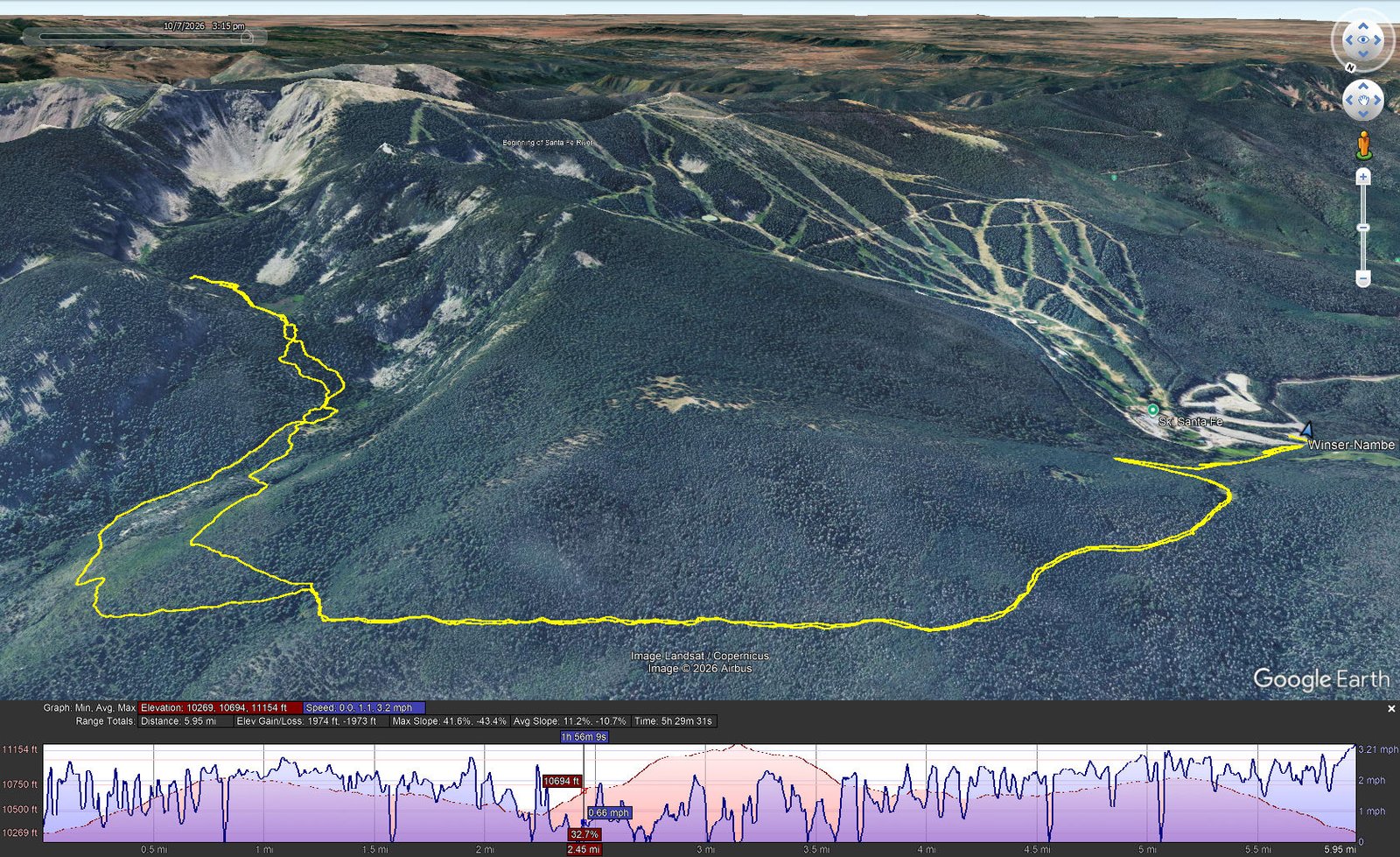
Winser-Nambe Lake Trails Hike.Jay.2026-10-07 Notes about the Google Earth screenshot: the graph at the bottom shows elevation of the track (pink area) and speed (the blue line). Click on the image for a full-screen view.
This is our 3rd ascent on the Winser Trail from it’s trailhead adjacent to the Ski Santa Fe parking lot – see Winser-Aspen Peak Trails Hike- 06/18/2026 for a good description.
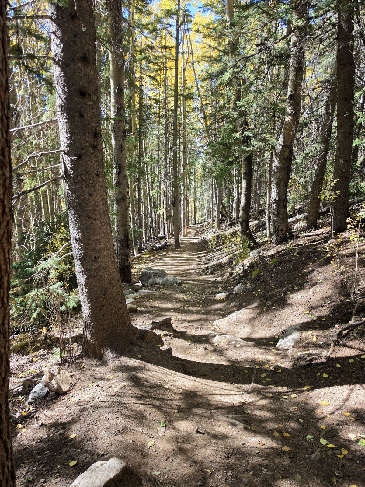
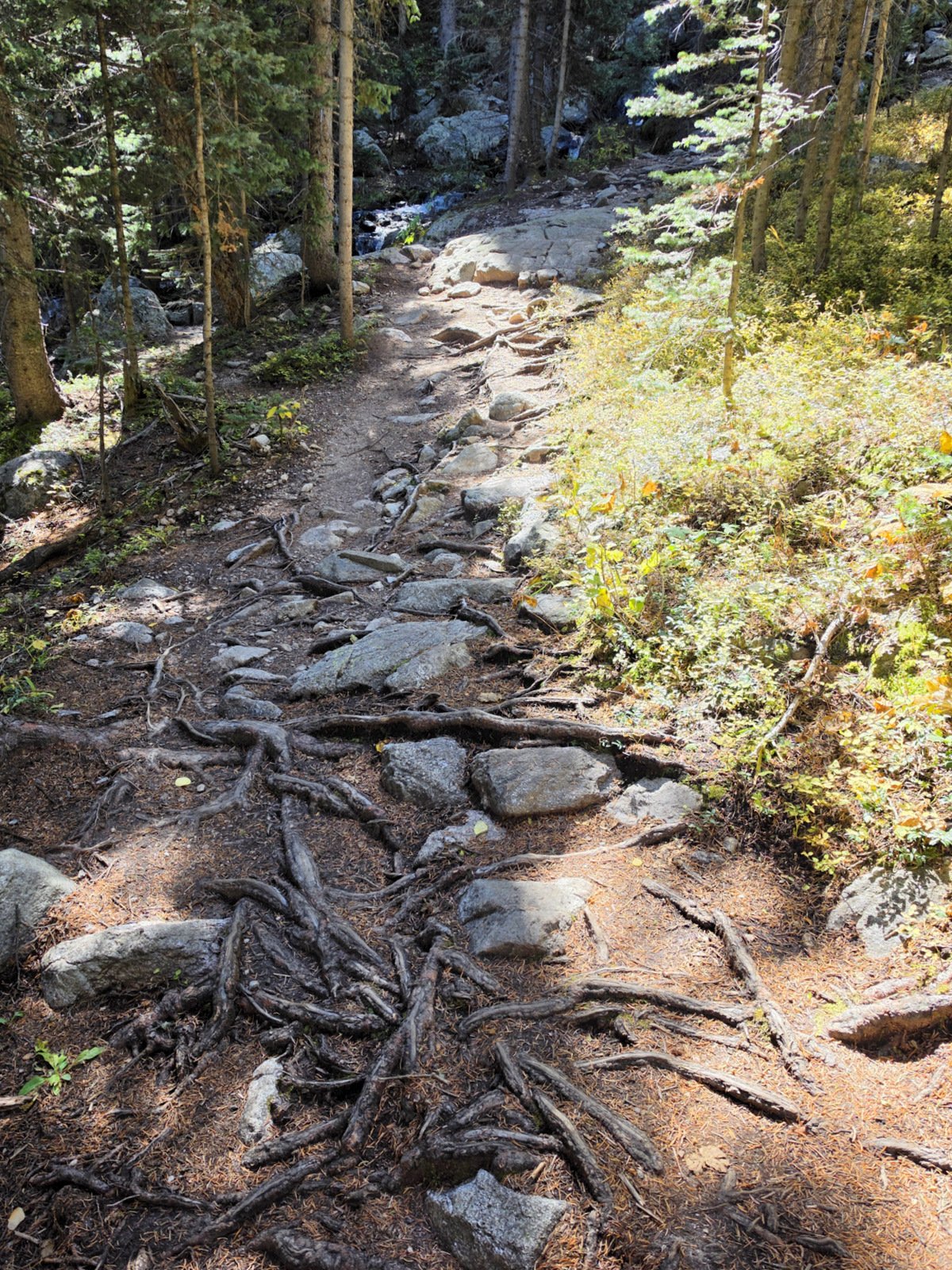
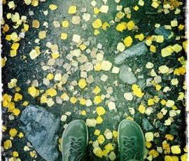
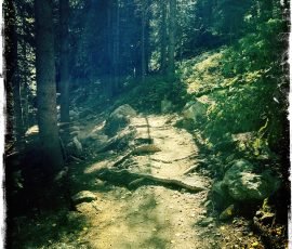
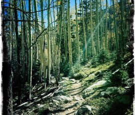
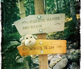
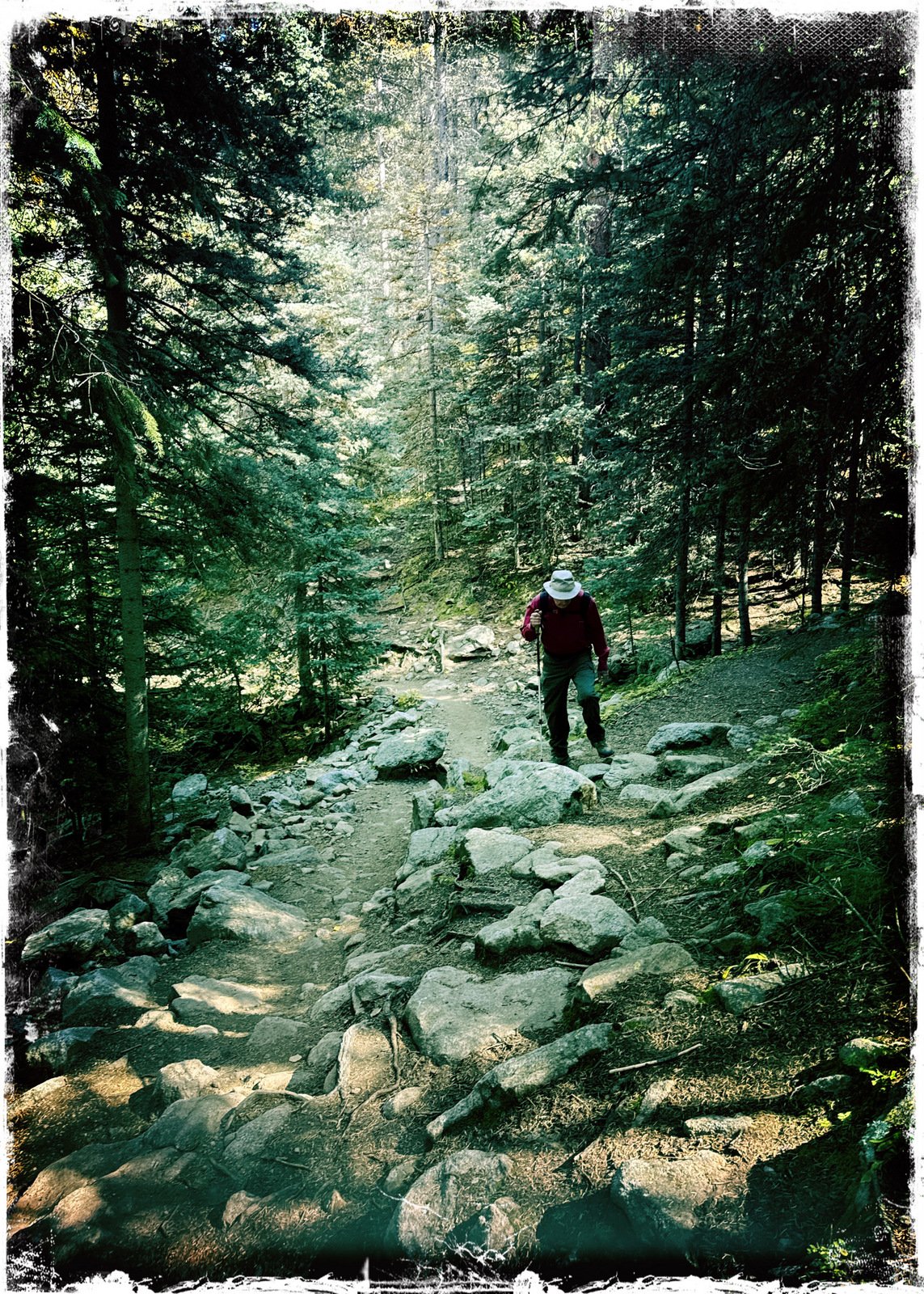
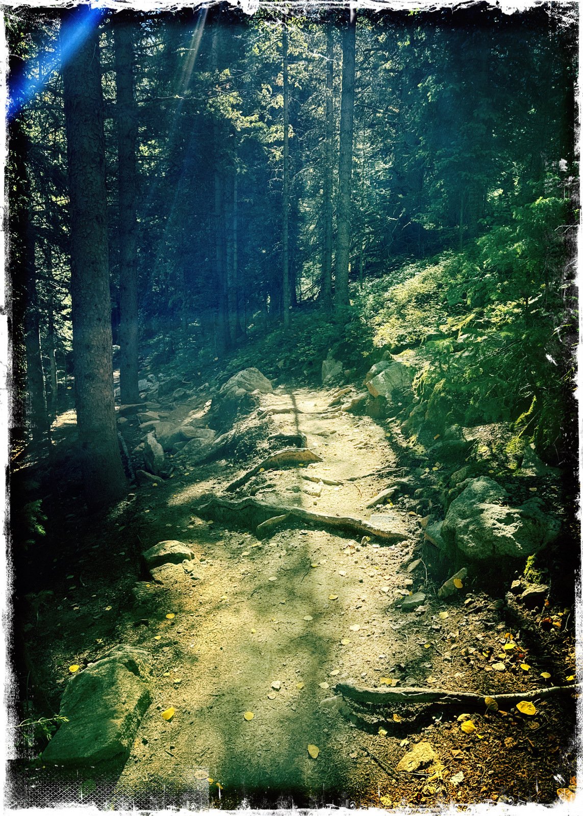
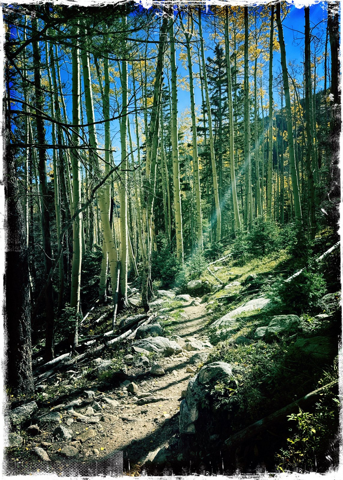
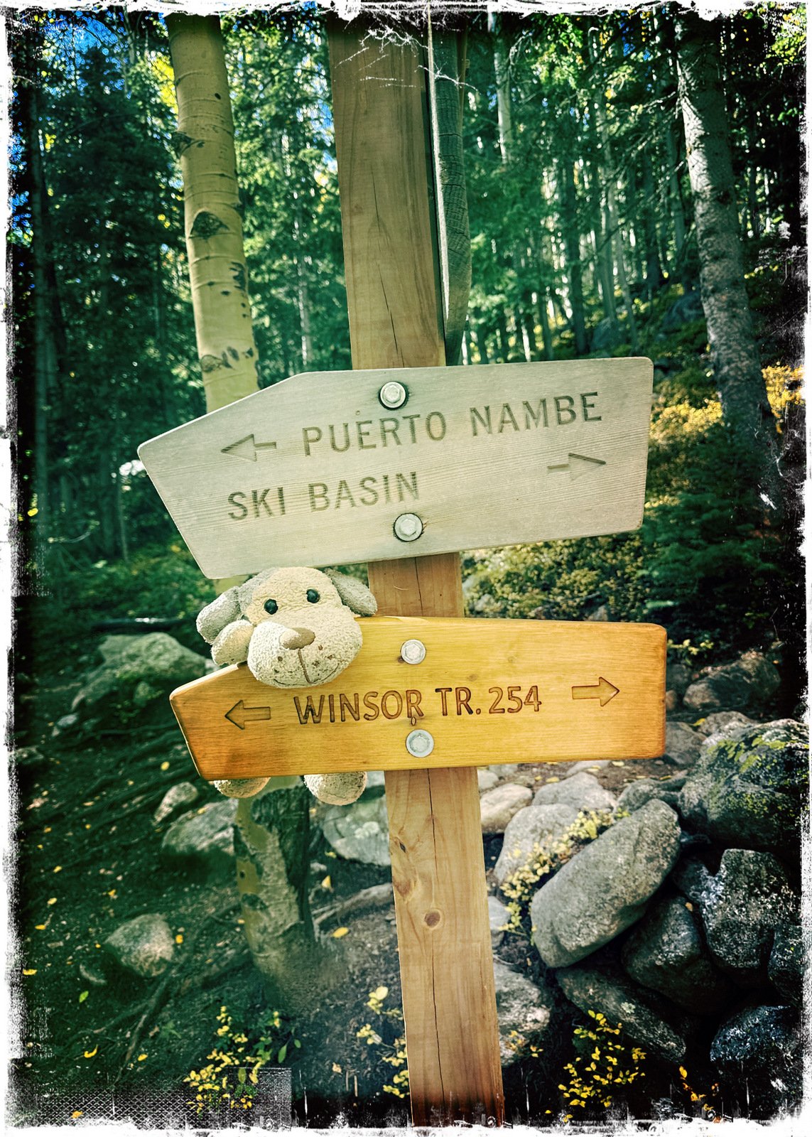
Reaching the top of the ridge and the gate into the Pecos Wilderness, we continued ahead on the Winser Trail (#254). It is an easy descent, from 10,814 feet elevation to 10,392 in 1.4 miles, to the intersection with the Nambe Lake Trail. The first few hundred yards are smooth but the remainder is rocky and “rooty”, sections rocks and exposed roots interspersed with rare smooth segments.
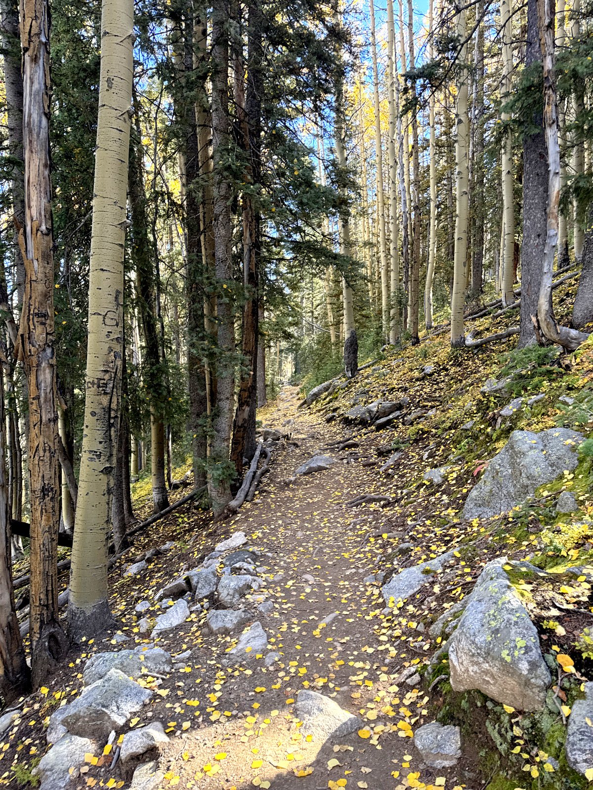
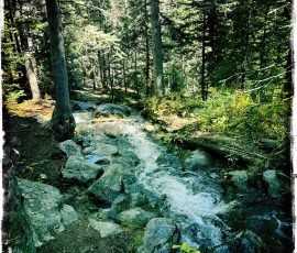
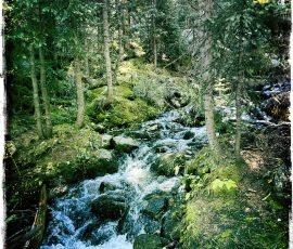
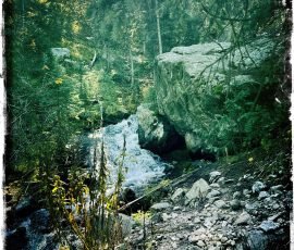
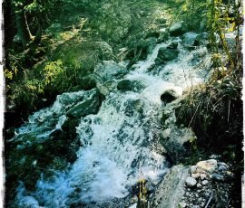
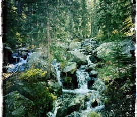
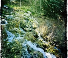
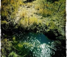
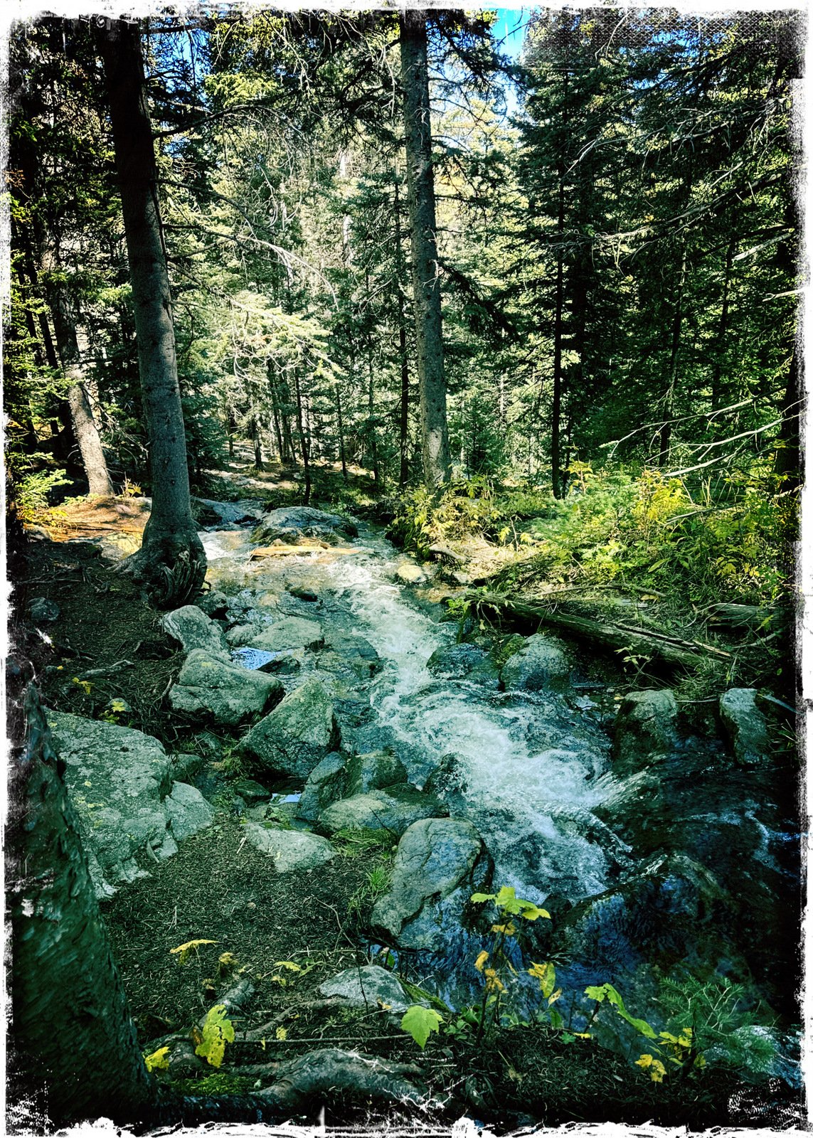
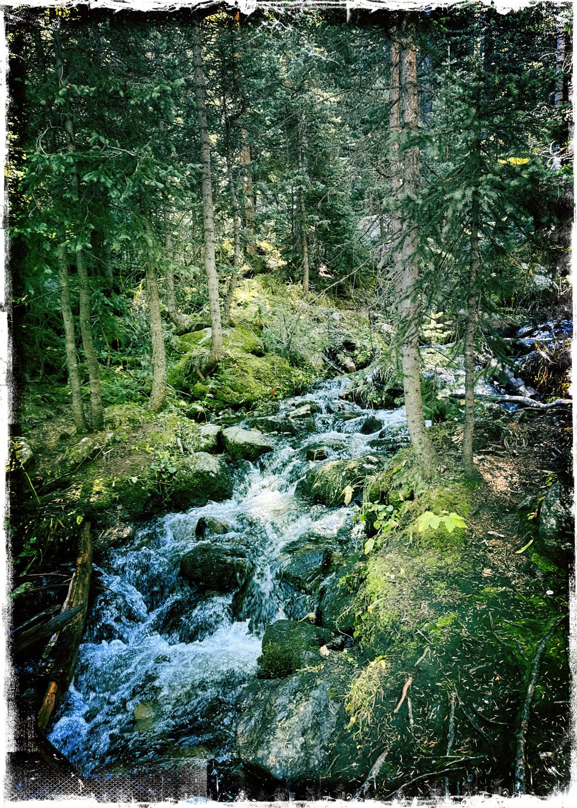
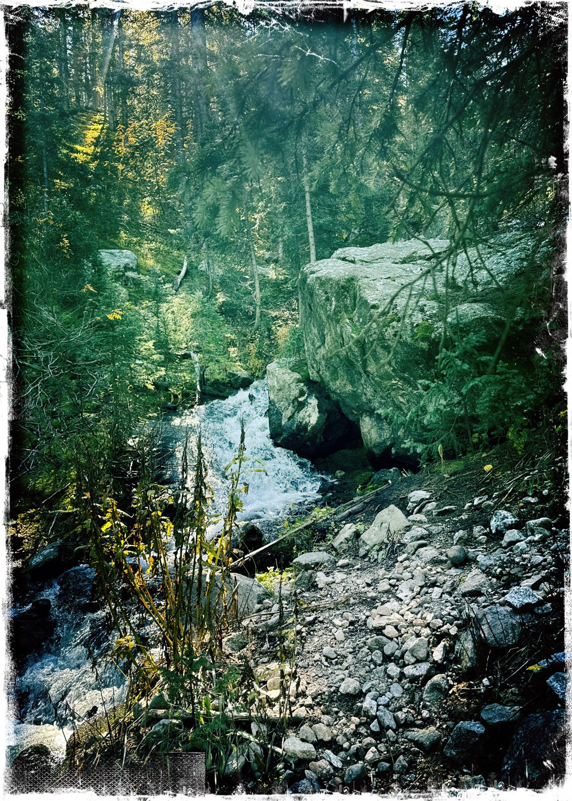
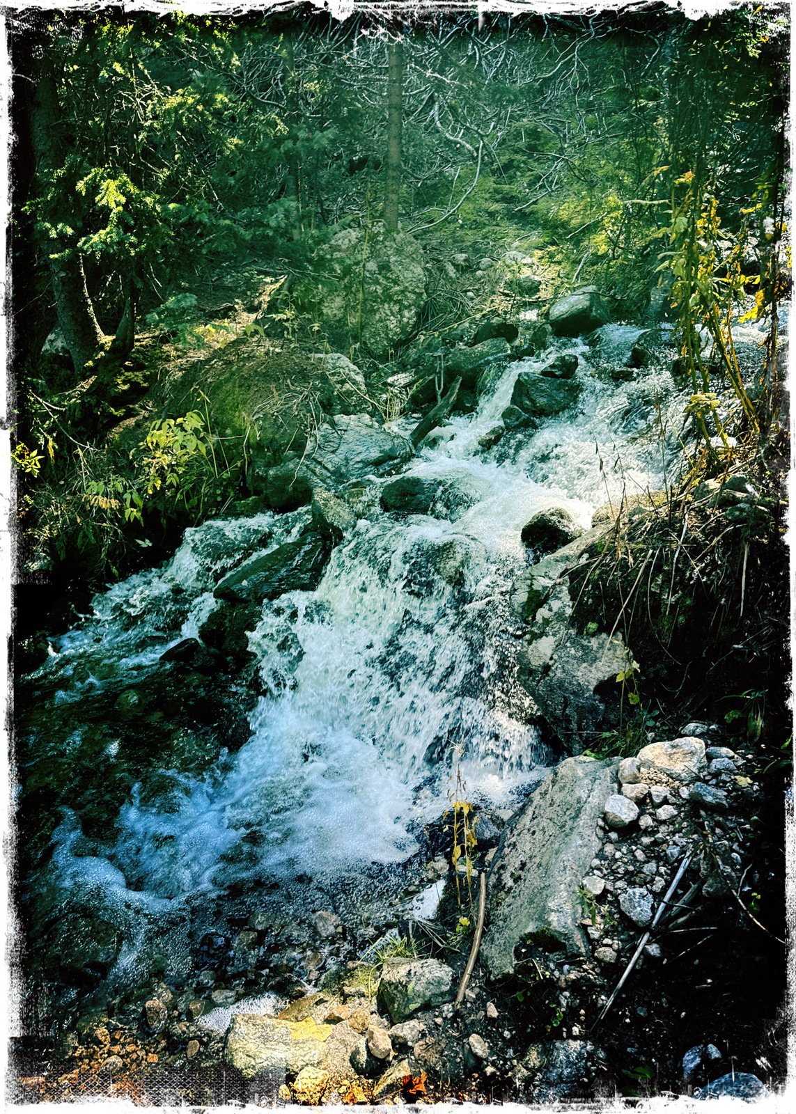
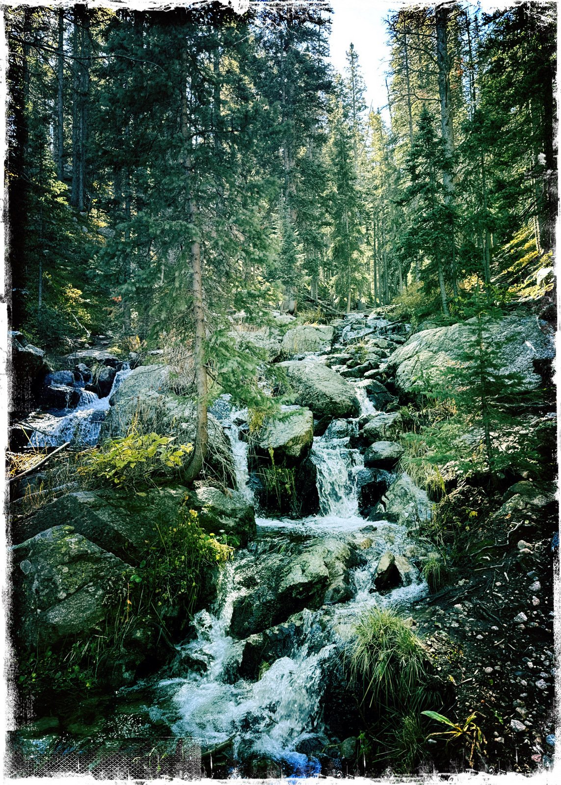
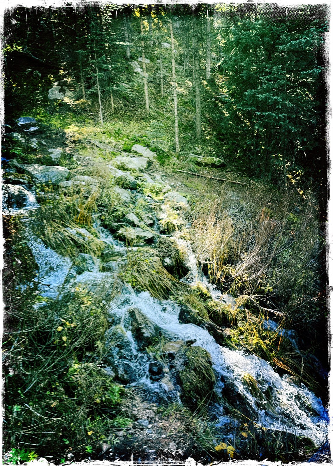
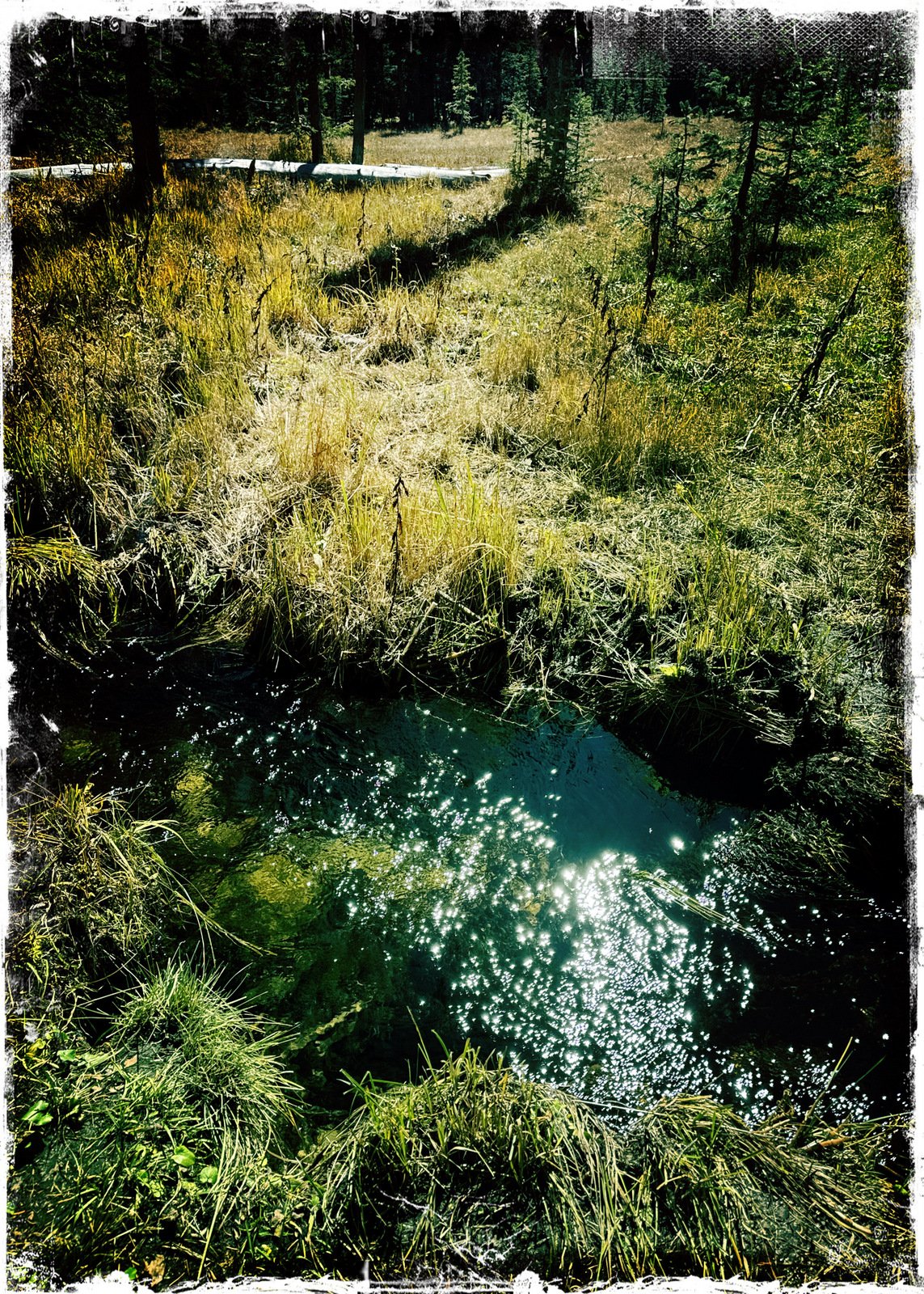
Turning towards Nambe Lake we faced a trail that was more rocky and a steeper ascent. It was, however along the Rio Nambe which reminded us all along that we were going up – the Rio tumbled over rocks, making small waterfalls, most of the way. The trail crossed the Rio about .3 miles from the Winser and continued with a couple of not-so-steep sections and through the edge of a very nice meadow – a great place to take some time for a break – but we kept going.
The climb continued until about for a mile from the Winser, where I “ran out of gas”. We could see on GAIA that we were close to the lake, but we were facing a steep, rocky climb to get to the lake. While I took a break, Jay went ahead to check out that final climb – 350 feet ascent in .2 miles up a very rocky slope; he judged that it would be more than we were up to on this day.
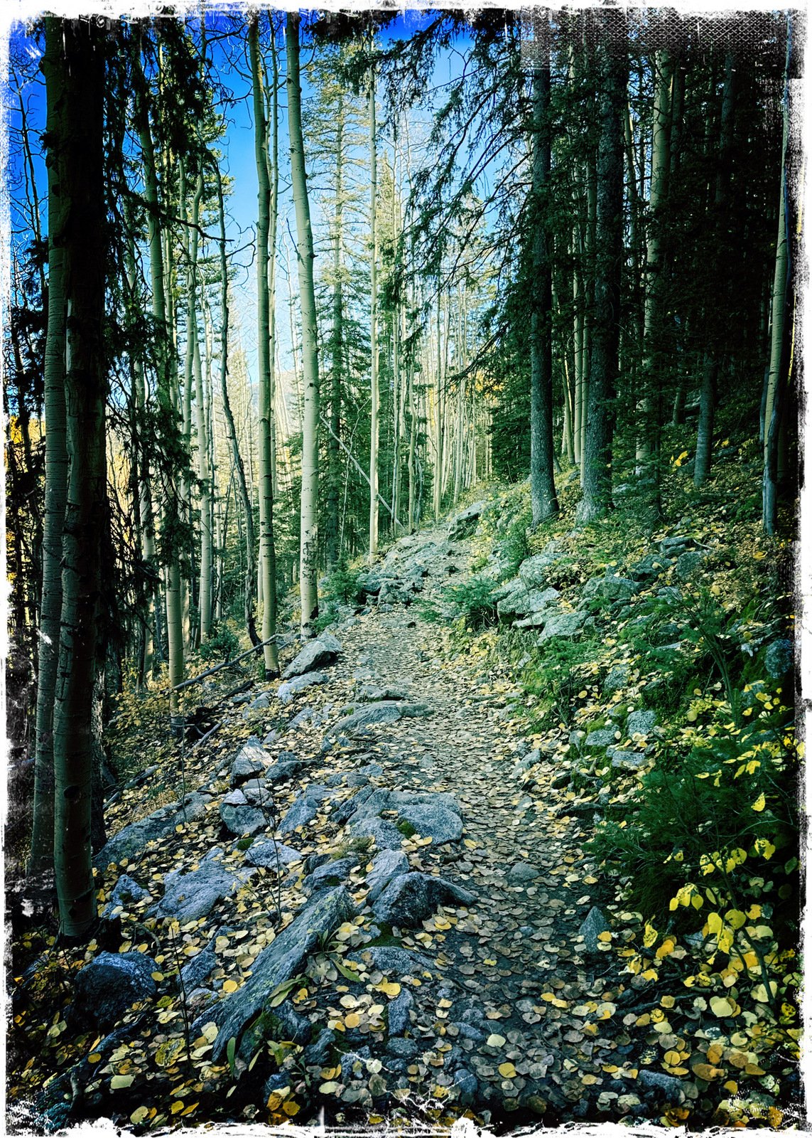
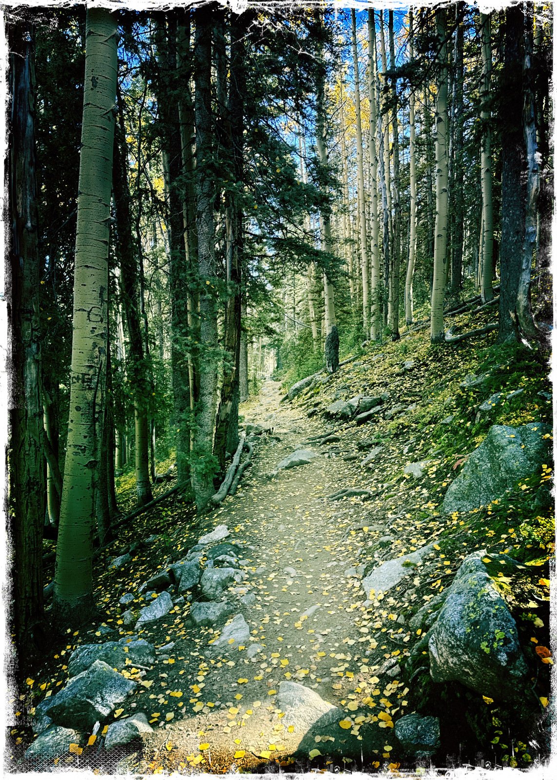
On our way down, we noticed on GAIA a dotted line .. “unmaintained” trail. Thinking we might bypass some of the rockiest sections of the Nambe Lake and Winser trails, we took it. And … it was a quite pleasant trail, used little but enough to be easily followed, it avoided the rocky sections, and even cut off .25 miles. (We intend to remember this the next time we try for the Lake.)
Jay here: What a climb. We had been told it required exertion and that was true. We might have been 400 feet or so from the rim of the lake. Another time. Short-cut on the way back was a gem.
Highlight
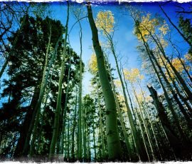
We had set our sights on this hike to Nambe Lake, and although we didn’t make it, this was a really great hike. The trail along the burbling Rio was a nice addition to the forest scenery … and I look forward to taking a shot at it again in the future.
Statistics
Total Distance: 5.95 miles Elevation: start 10,272 ft, maximum 11,154 ft, minimum 10,269 ft Gross gain: 885 ft. Aggregate ascending 1,974 ft, descending 1,973 ft Maximum slope: 41% ascending, 43% descending, 11.0% average Duration: 5:30, Average Speed: 1.1 mph, Shade: 80%
If you haven’t explored these hiking tracks with Google Earth, give it a try. With the virtual 3-dimensional presentation, achieved by panning and tilting the view, you can get good idea of the hike and the terrain. For some ideas, check out Using Google Earth Track Files.
— For an inline photo, click on it to display a larger image. Then [back] on your browser to return to the page.
— Some links that are marked out, suggesting they are “dead links”, will work. They go to a site that the Broken Links Finder cannot access, but -you- can.