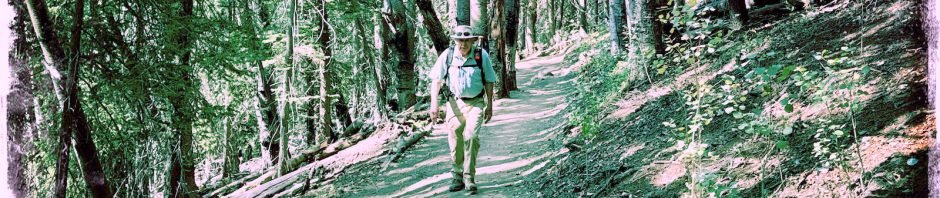
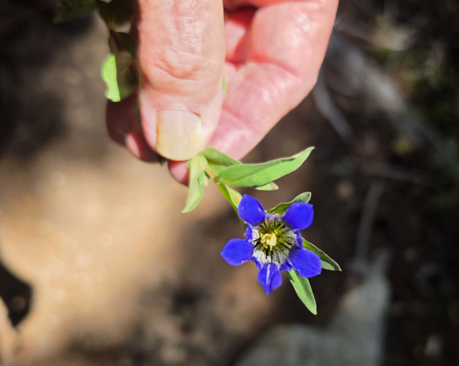
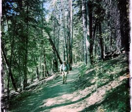
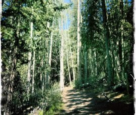
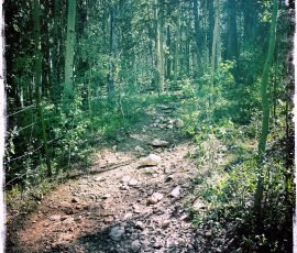
The trails in this part of the Sangre de Cristo mountains that we haven’t hiked have become few. Ravens Ridge has been waiting for us to return (we hiked it way back in 2016, we were younger then)
The Drive In
This hike begins at the Winsor Trailhead, located at the end of Hyde Park Road. As one approaches the Ski Santa Fe parking areas, stay to the left, go part way around the road loop, and park in the northwest parking area. The Trailhead is across from the parking lot, to the northwest.
The Hike
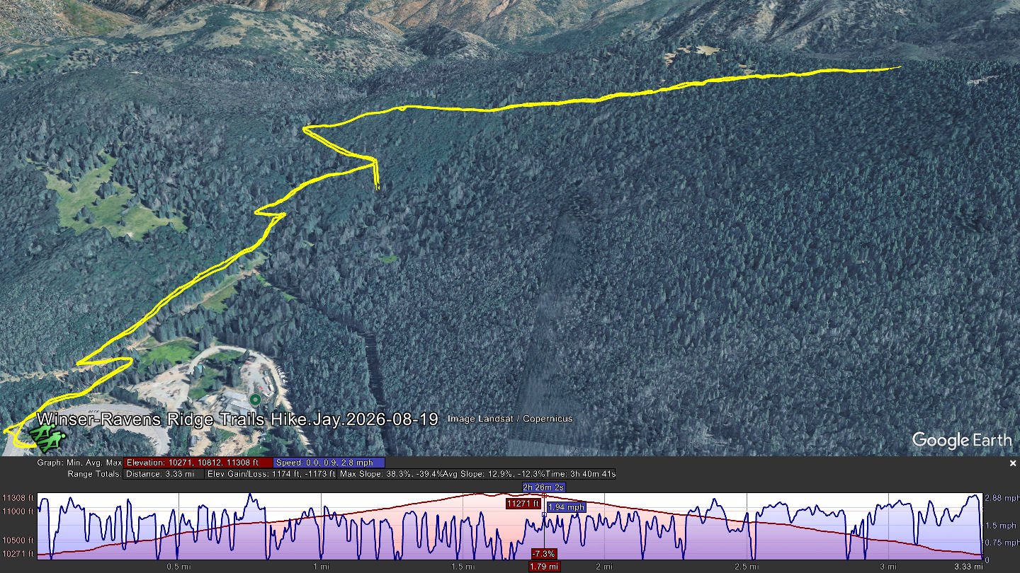
Winser-Ravens Ridge Trails Hike.Jay.2026-08-19 Notes about the Google Earth screenshot: the graph at the bottom shows elevation of the track (pink area) and speed (the blue line). Click on the image for a full-screen view.
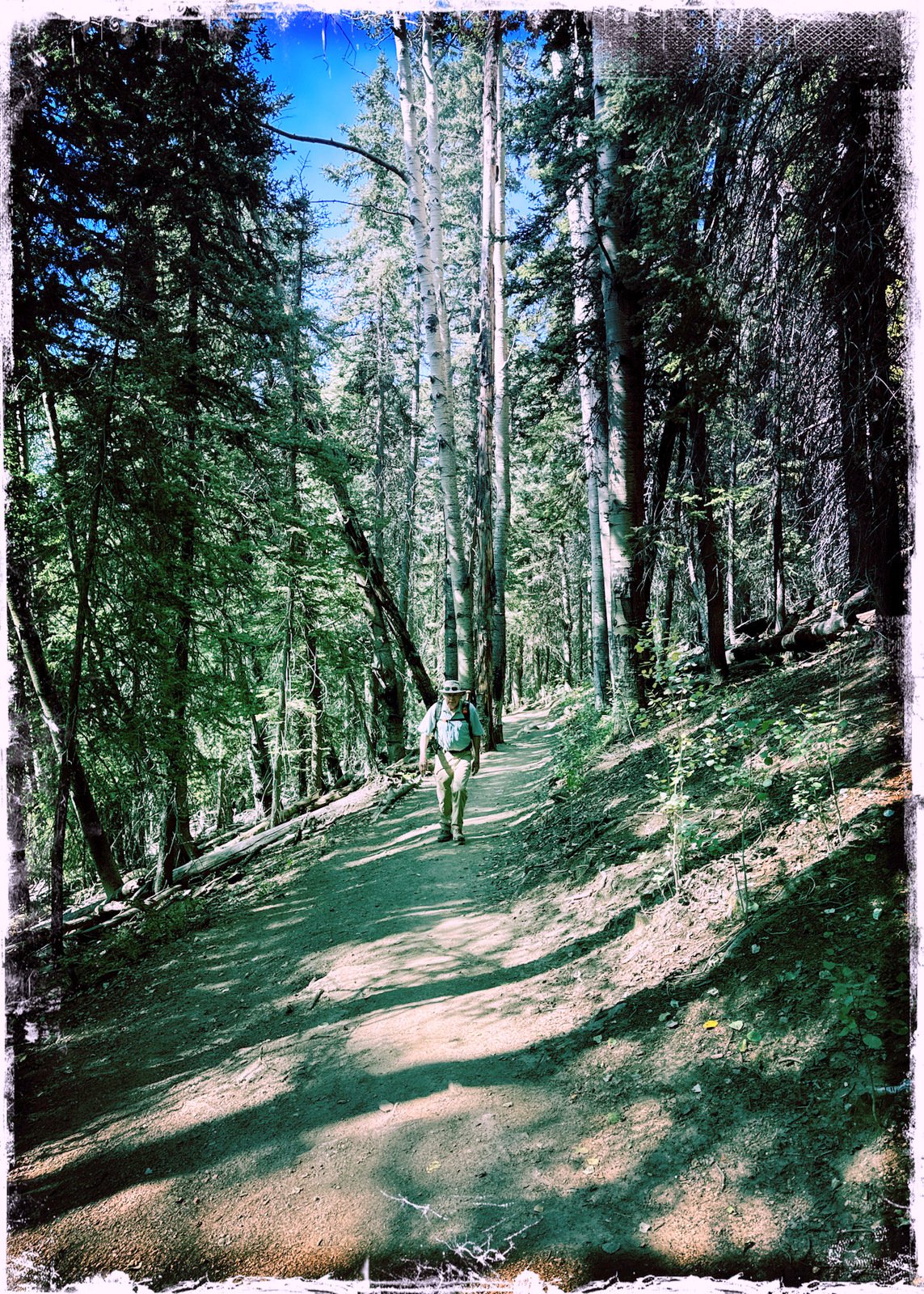
This hike begins at the Winser Trailhead, and we go up the Winser Trail to the ridge (see Winser-Aspen Peak Trails Hike – 06/18/2026). Upon reaching the top of the climb, we turned right (along the fence) and onto the Ravens Ridge Trail.
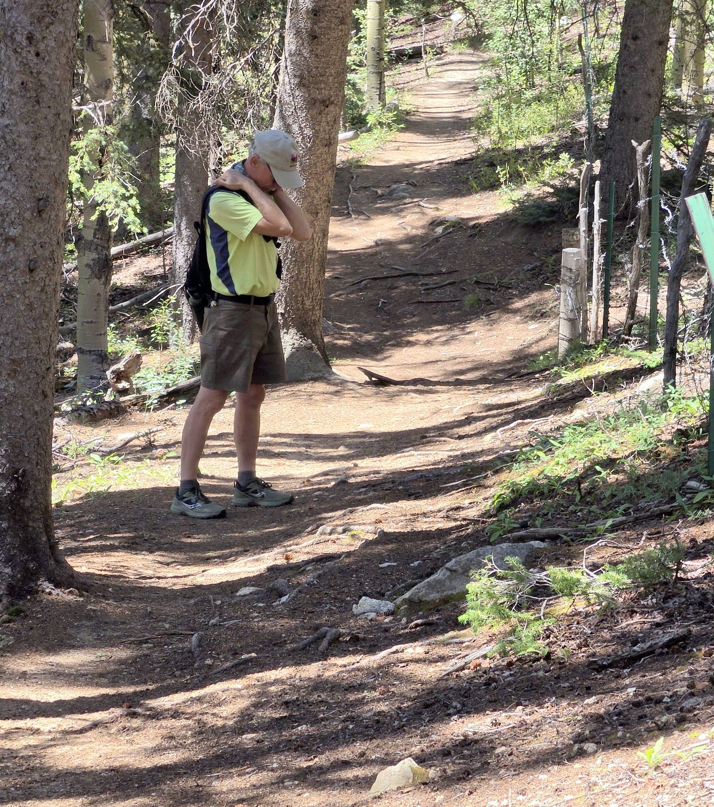
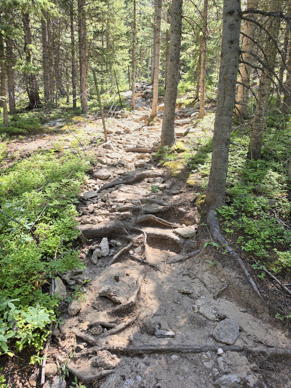
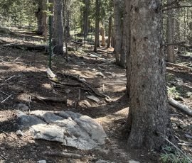
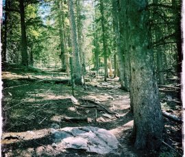
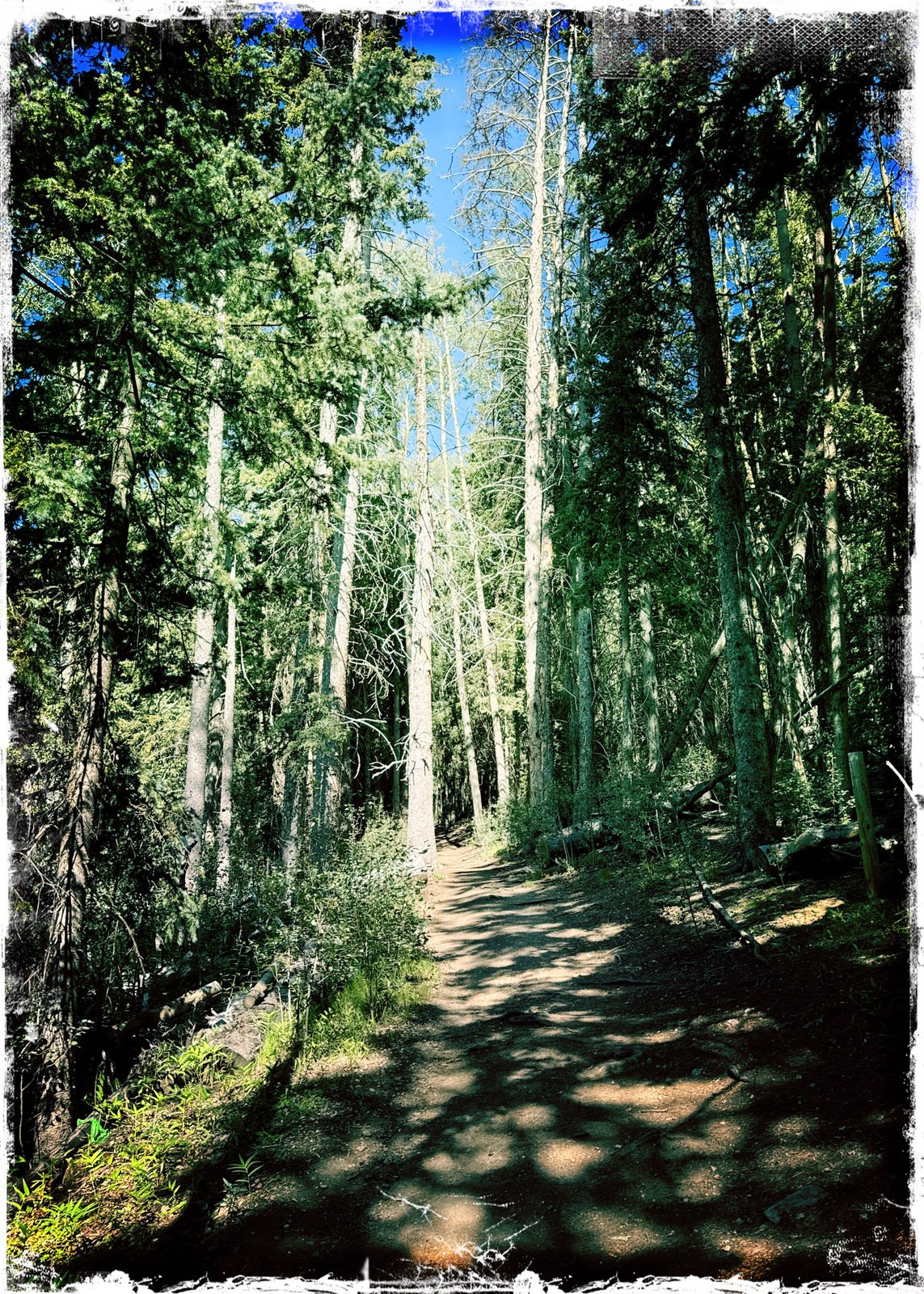
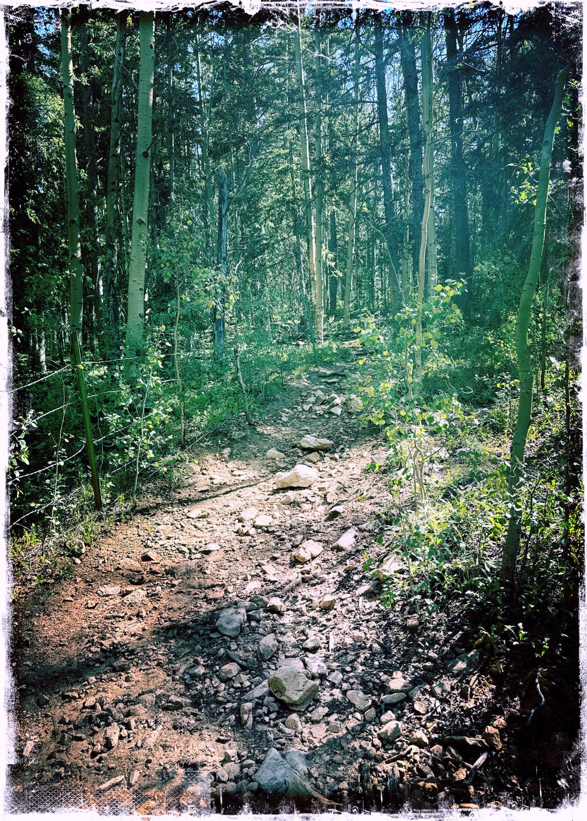
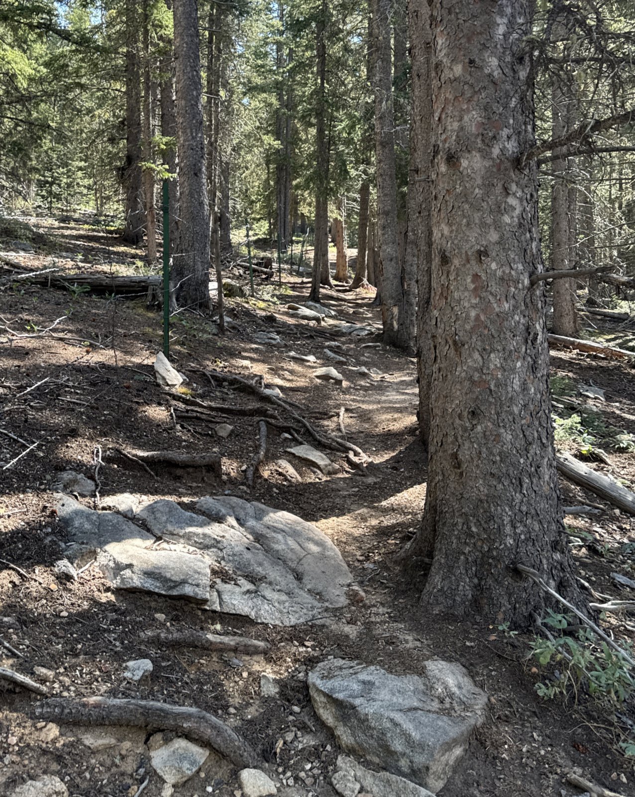
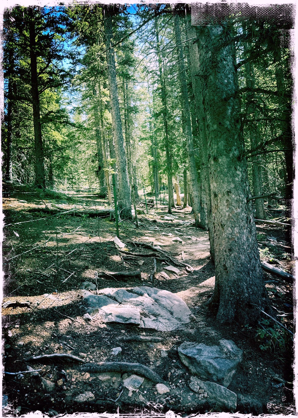
For the first few hundred yards, the Ravens Ridge Trail is easy going – a nice trail surface, moderate slope. But soon the surface becomes littered with rocks or in places just a rubble of rocks. And it continues that way to the top of the ridge. I found it to be quite challenging, to both leg strength and to balance. In places there were short sections of “alternate trail”, diversions from the main trail through the forest that eased the climb.
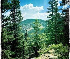
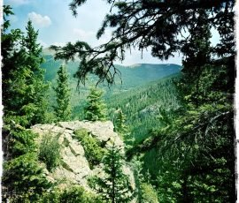
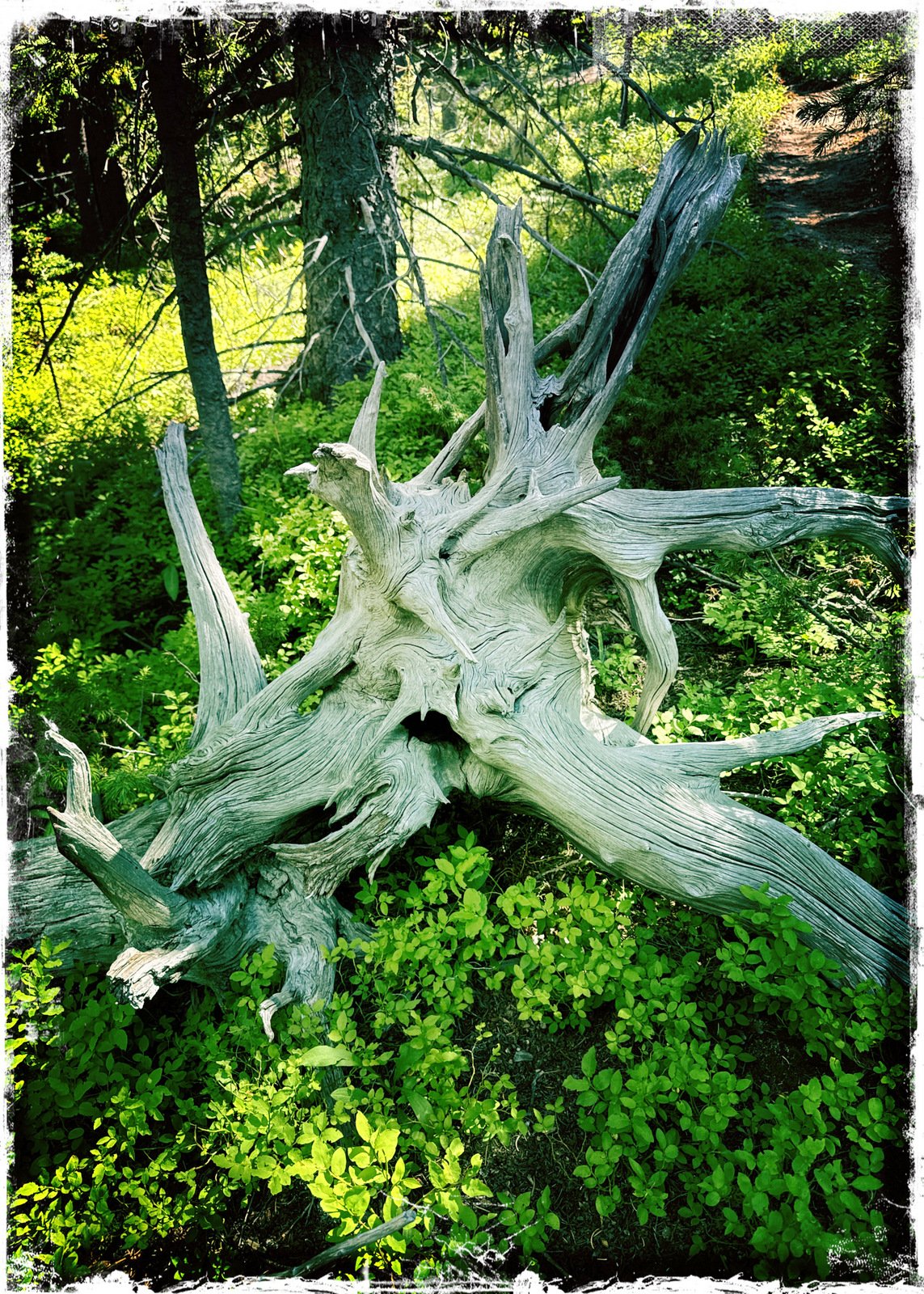
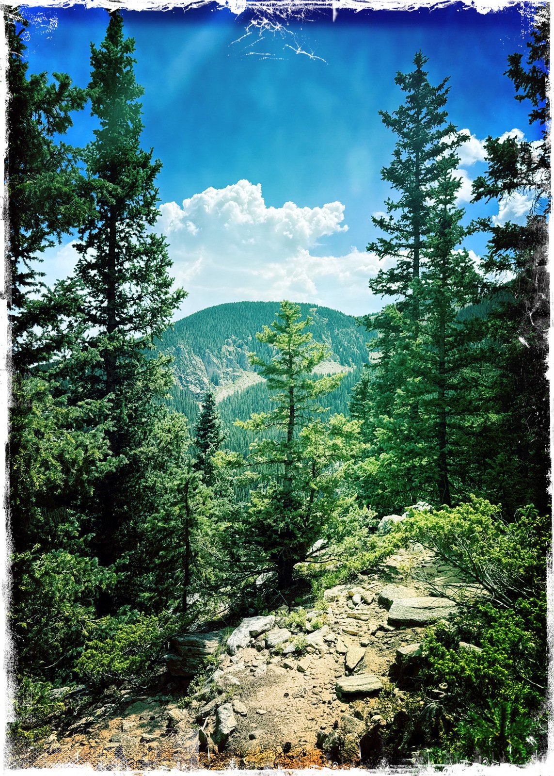
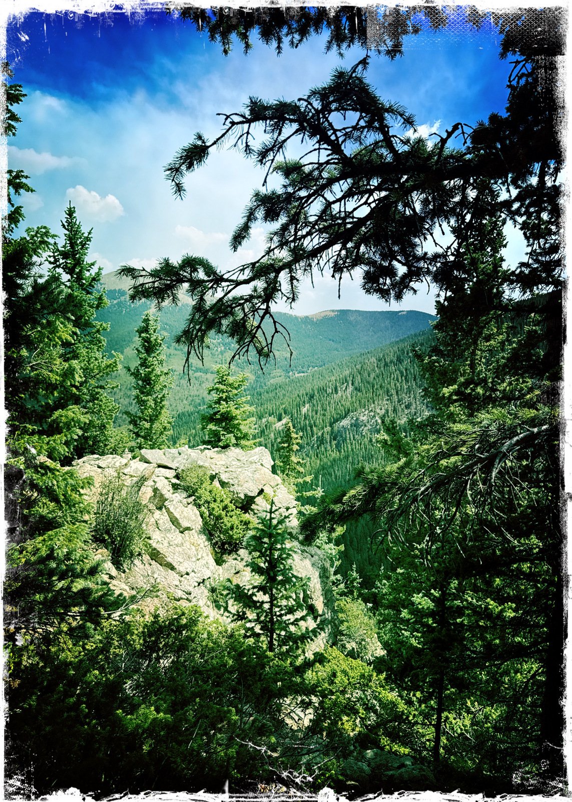
Throughout, the trail passes through pine forest with some scrub oak along the way. At the top of the ridge, here is a fine view into the valley ahead and the mountains beyond. Many hikes go from here to Deception Peak, views to Nambe Lake below, and more.
Jay here: Just got this hike in before the Forest Service closed this trail and the Nambe Lake trail due to the Frijoles forest fire. It’s an energetic hike for sure. Thankfully, some of the rockiest portions of the trail have side detours on bare ground that reduce some of the rock hopping gait one has to maintain. We will be back/
Statistics
Total Distance: 3.33 miles Elevation: start 10,271 ft, maximum 11,308 ft, minimum 10,271 ft Gross gain: 1,037 ft. Aggregate ascending 1,174 ft, descending 1,173 ft Maximum slope: 38% ascending, 39% descending, 12.5% average Duration: 3:41, Average Speed: 0.9 mph, Shade: 80%
If you haven’t explored these hiking tracks with Google Earth, give it a try. With the virtual 3-dimensional presentation, achieved by panning and tilting the view, you can get good idea of the hike and the terrain. For some ideas, check out Using Google Earth Track Files.
— For an inline photo, click on it to display a larger image. Then [back] on your browser to return to the page.
— Some links that are marked out, suggesting they are “dead links”, will work. They go to a site that the Broken Links Finder cannot access, but -you- can.