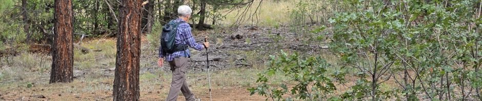
Oak Flats Picnic Area and Group Campground is nearby, offering a web of trails through an open forest of ponderosa, piñon, and scrub oak. At 7,500 feet elevation and with a few gentle ascents, it is great for preparing for future, more challenging hikes. Oh, and to get their, one goes past Roots Farm Cafe in Tijeras – an added attraction for breakfast before on lunch after a hike at Oak Flats.
The Drive In
From Albuquerque eastbound on I-40 exit at Tijeras onto NM 337 southbound (folks who have been in these parts for many years know it as South 14). From Roots Farm Cafe (1/3 mile from the stoplights), proceed uphill for 8.5 miles, then turn left (east) onto Oak Flat Road. A mile on turn left into the Oak Flat Group Campground complex, then turn to the left to follow the road around to the parking area and the Trailhead.
The Hike
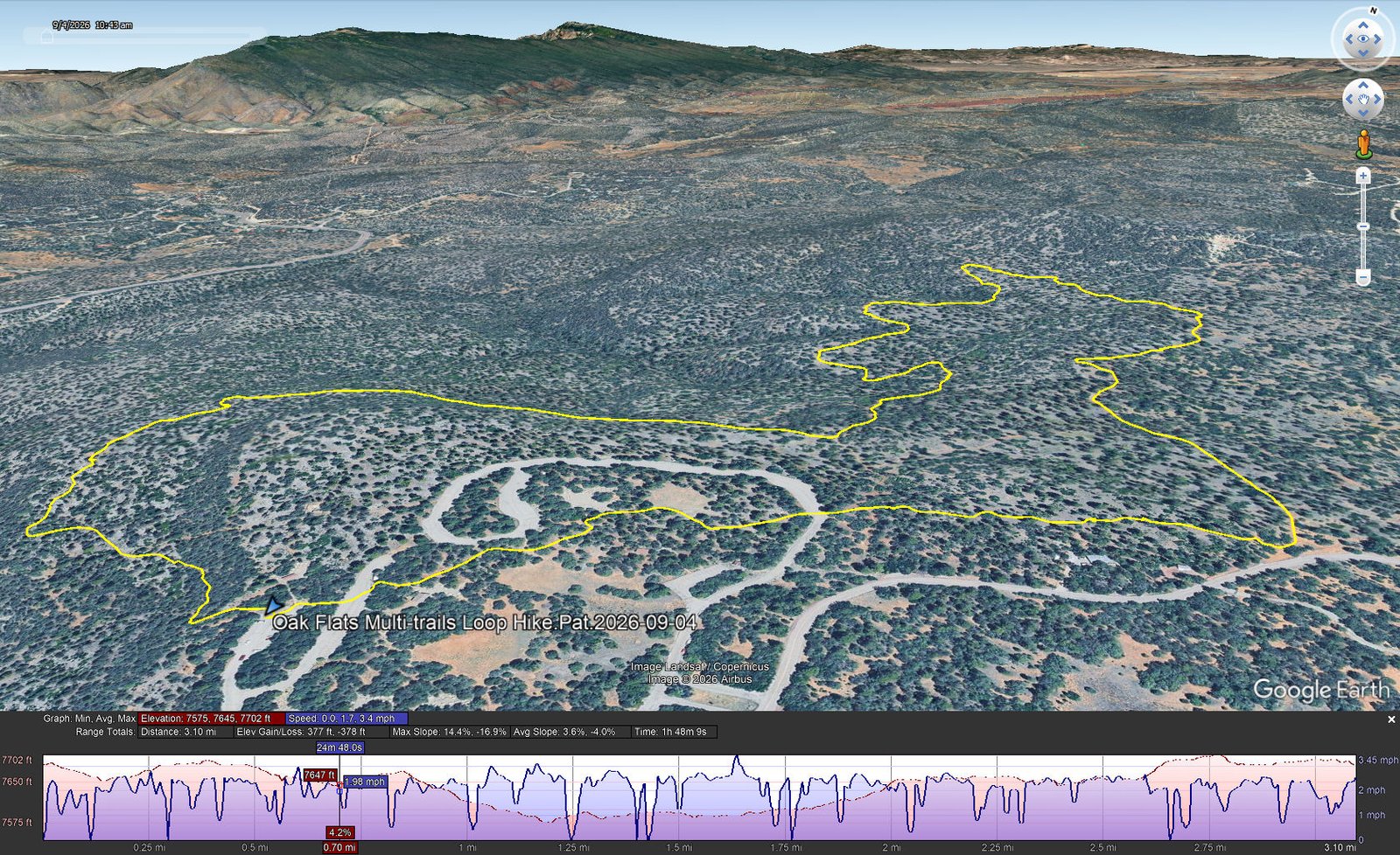
Oak Flats Multi-trails Loop Hike.Pat.2026-09-04
Notes about the Google Earth screenshot: the graph at the bottom shows elevation of the track (pink area) and speed (the blue line). Click on the image for a full-screen view.
Using GAIA GPS which seems to show all the trails in the Oak Flats web of trails, we set created a route that would give us a 3+ mile hike. The Oak Flat Trailhead is on the north border of the parking lot; the trail immediately presents a rocky descent, maybe 30 yards, and continues to be rocky for another couple hundred yards – the rockiest part of these trails. Here’s detail of this hike (or use the link below to see it on GAIA GPS):
- We started on the Oak Flat Connector (Trail 5637). Half a mile into the hike, we turned right onto the Easy Pickin’ (Trail 5638).
- Another .4 mile, turned left onto Gabaldo del Pino (Trail 5640).
- Then .9 mile to a turn to the right onto Gambel Oak (Trail 5618).
- Another .3 mile to a sharp turn to the right onto the Mahogany Trail (Trail 5602).
- Then .9 mile to a right turn back onto a segment of Easy Pickin’ (Trail 5638).
- In a tenth of a mile we veered off onto an unnamed trail and continued through the Oak Flat Picnic Area to the parking are and truck.
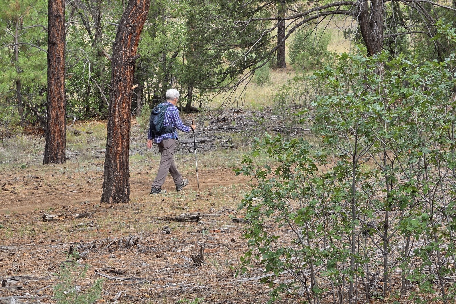
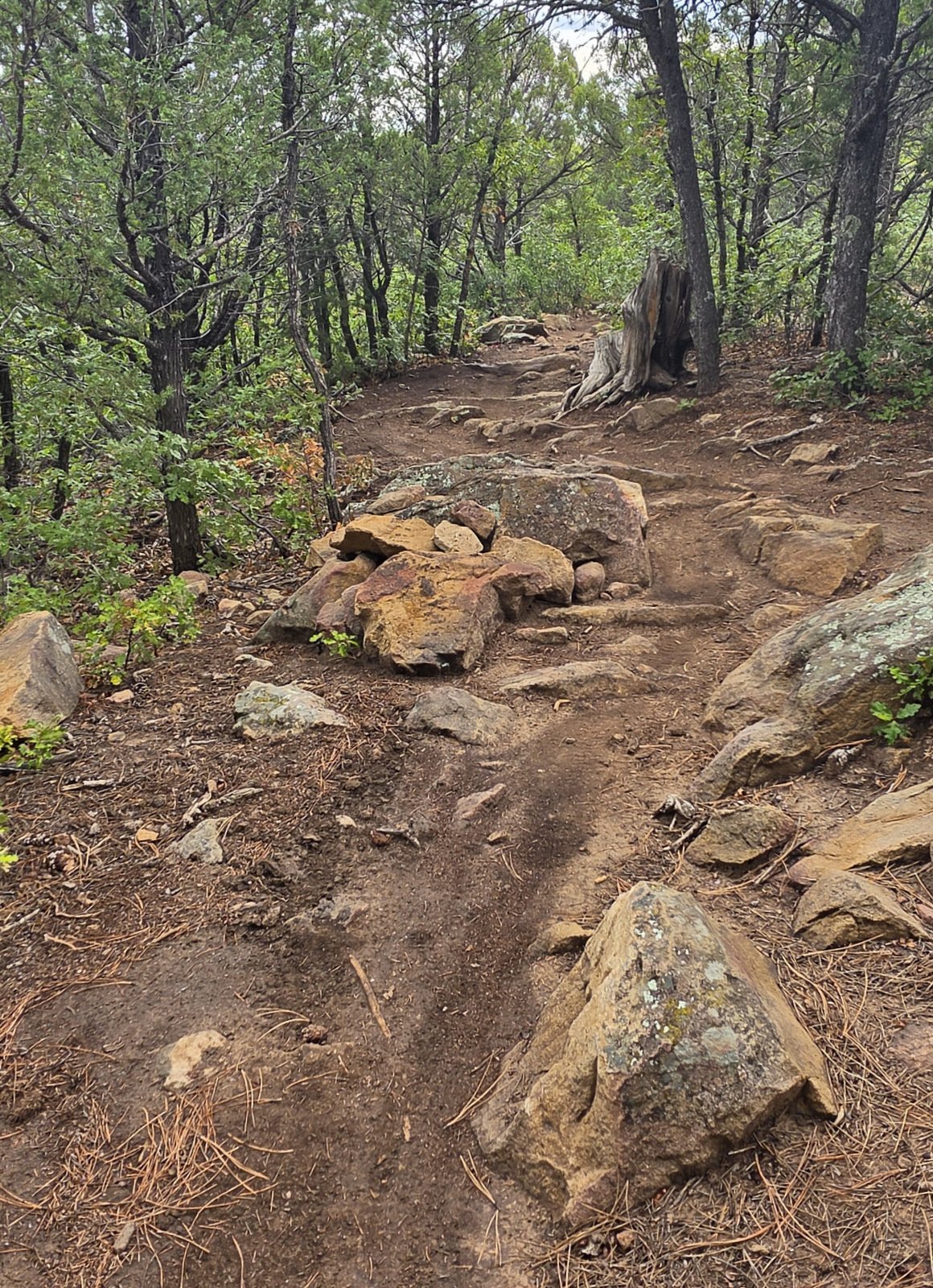
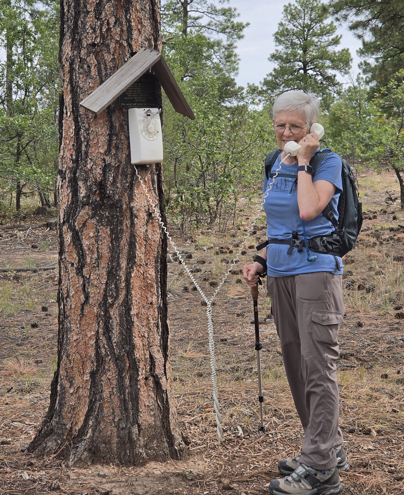
All the trails in Oak Flats are well used – dirt with occasional rocky sections. As you may note in the Statistics below, there isn’t much elevation change with no steep slopes. As noted above, it passes through an open, healthy forest with a couple places where a view of the Sandia Mountains to the northwest or South Mountain to the north. Oh, and a bit of humor – some considerate hiker installed a phone on a tree in case its needed … however, we were unable to get a dial tone.
Highlight
This was one of the most pleasant hikes this year – not strenuous, a most pleasant forest to pass through, and … at 7,500 feet elevation a cool break from this summer’s heat in Albuquerque (and throughout the lower elevations).
Statistics
Total Distance: 3.10 miles
Elevation: start 7,684 ft, maximum 7,702 ft, minimum 7,575 ft
Gross gain: 127 ft. Aggregate ascending 377 ft, descending 378 ft
Maximum slope: 14.4% ascending, 16.9% descending, 3.8% average
Duration: 1:48, Average Speed: 1.7 mph, Shade: 40%
| GPS Track Files for Download | |
17 Downloads | |
|---|---|
20 Downloads | |
26 Downloads | |
| If you haven’t explored these hiking tracks with Google Earth, give it a try. With the virtual 3-dimensional presentation, achieved by panning and tilting the view, you can get good idea of the hike and the terrain. For some ideas, check out Using Google Earth Track Files. | |
Related Posts
Hikes in Oak Flat
Hikes in the Vicinity (Tijeras)
References and Resources
USFS: Sandia RD Manzanita Mountains
Interactive Map (zoom in to Albuquerque and Manzanita Mountains)
Manzano Mountains Trails Brochure RG-R3-03-06 (2024) (pdf)
AllTrails: Best trails in Oak Flat, Cibola National Forest, NM
Ponderosa Trail Loop
Oak Flat Loop
AI: Oak Flats Hikes
New Mexico Touring Society: Oak Flat
Global Awareness for Travelers: October in New Mexico: The Air is Alive on the Oak Flat Trail
Views to date: 7 views.