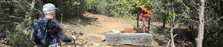
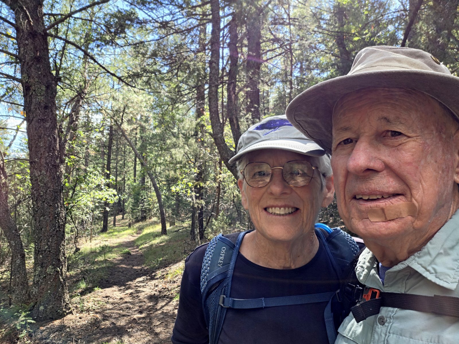
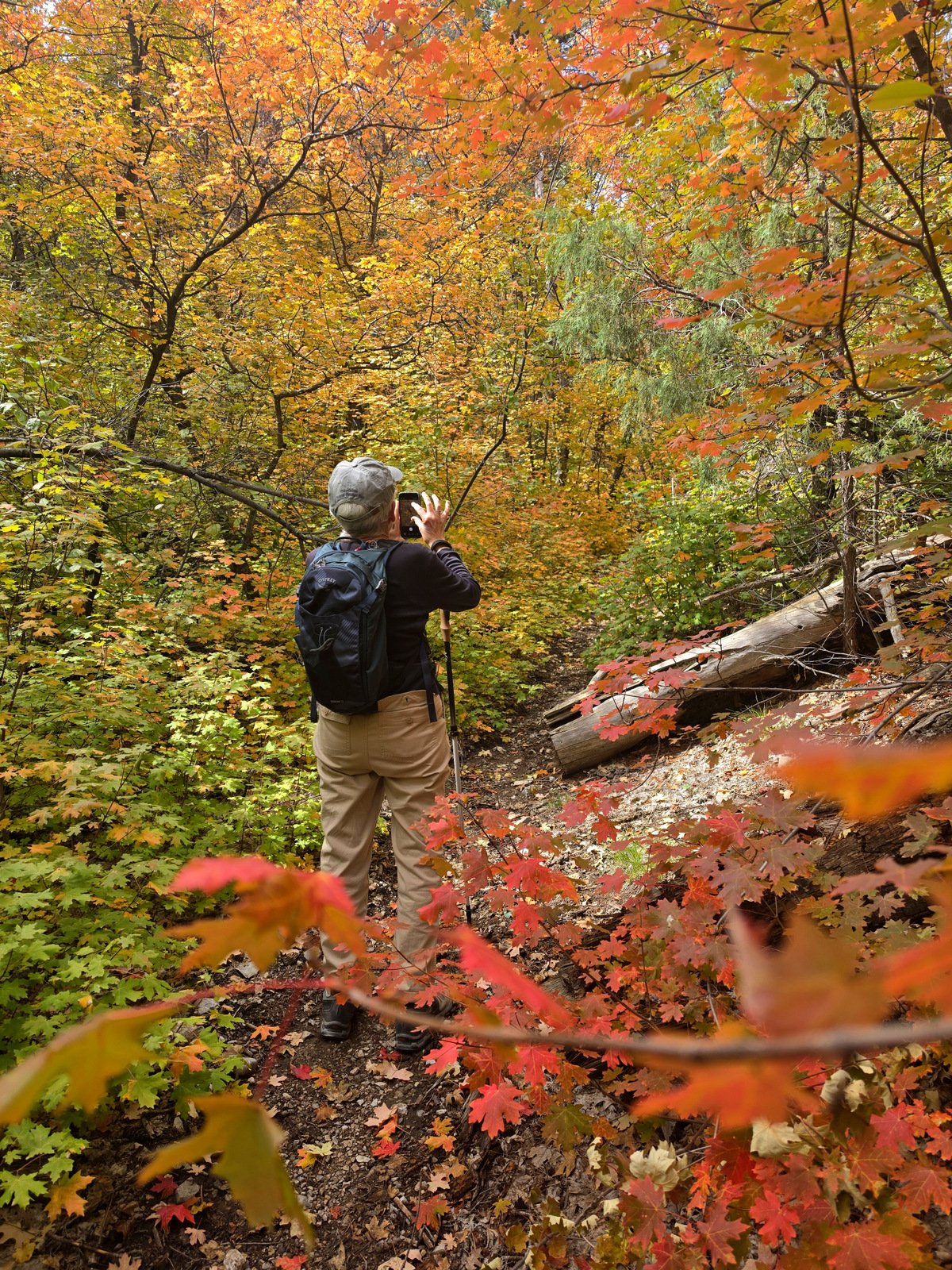
 ‘Tis the season … for beautiful autumn colors in the mountains of New Mexico. Prime locations in the vicinity are Sangre de Cristo Mountains near Santa Fe (aspen) and Fourth of July Canyon in the Manzano Mountains (oak and maple). We chose the one closer to home – the Manzanos.
The Drive In
Find your way to the Land Grant Village of Tajique (32 miles south on NM 337, west on NM 55) or Mountainair (21 miles north on NM 55). At the south edge of Tajique, look for a sign pointing west towards Fourth of July Campground (Fourth of July Road, aka CO Rd AO13, aka Toreon-Tajique Loop Road). ‘Tis 7.5 miles to the Campground, but … as anticipated this weekend, it was crowded with folks coming to see the colors. To avoid that, we retraced our route .5 mile to the circular parking area (horse corrals) and the Albuquerque Trail Trailhead … where there were only a couple of horse trailers, no other vehicles.
The Hike
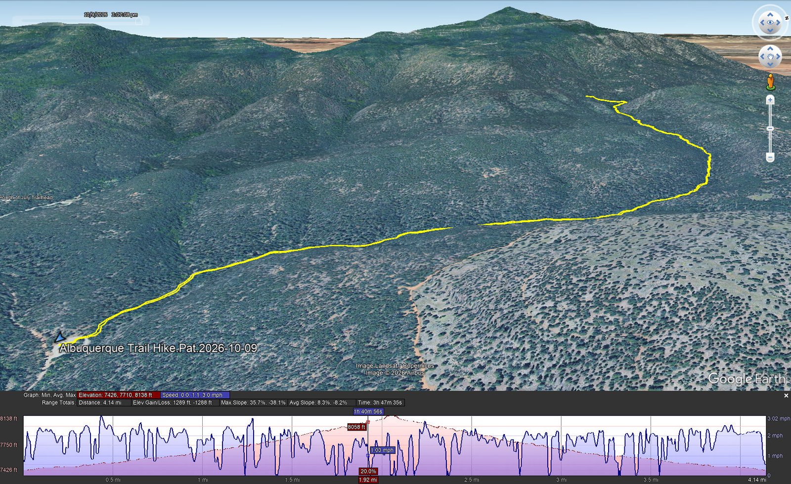
Albuquerque Trail Hike.Pat.2026-10-09
Notes about the Google Earth screenshot: the graph at the bottom shows elevation of the track (pink area) and speed (the blue line). Click on the image for a full-screen view.
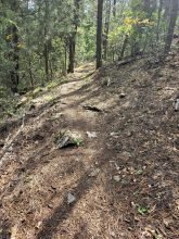
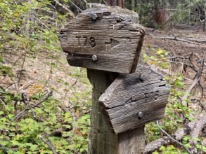
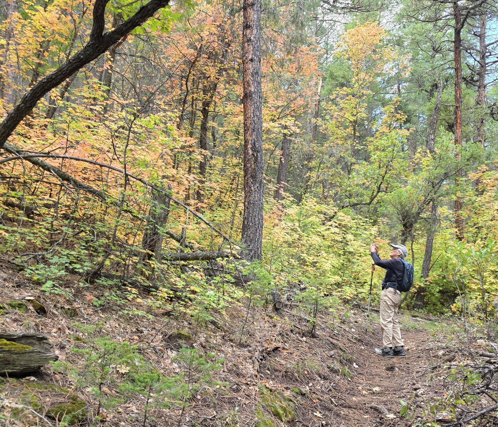
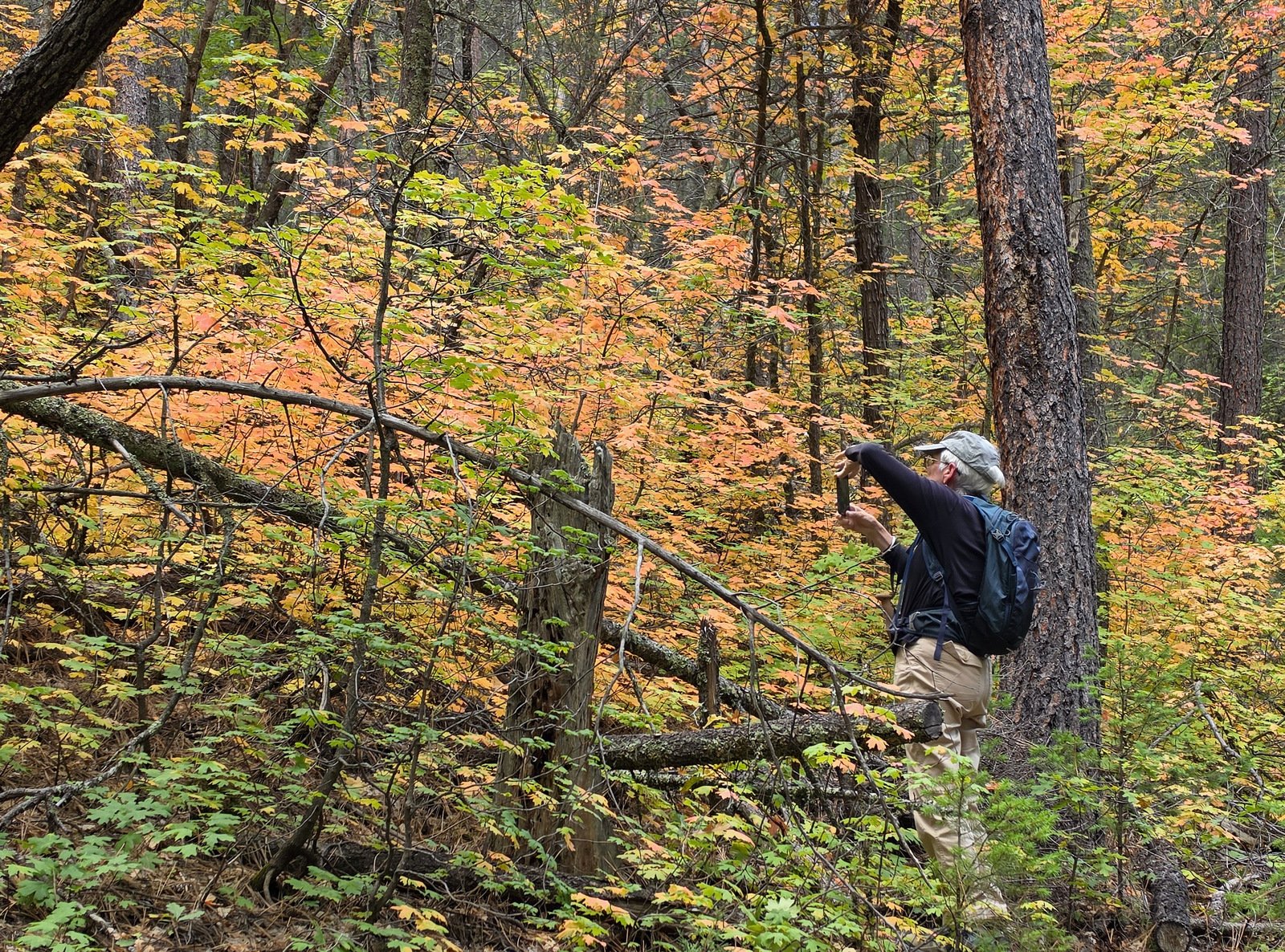
Highlight
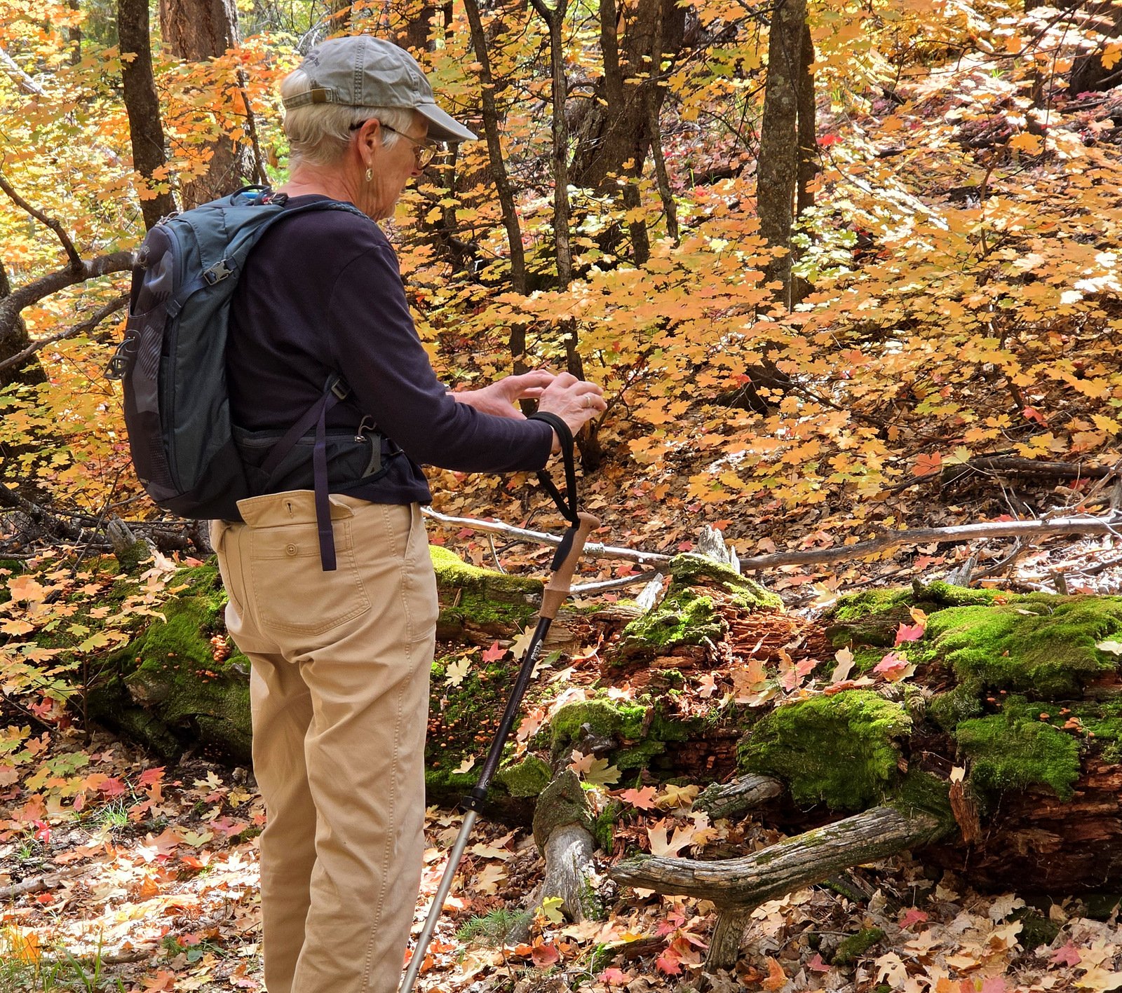
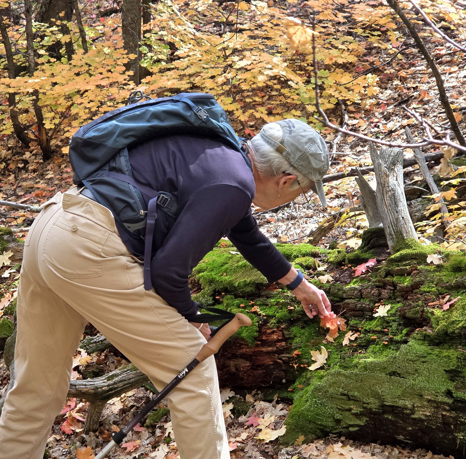
It was the autumn colors!! And a most pleasant (easy) trail, yet with some elevation gain.
Statistics
Total Distance: 4.14 miles
Elevation: start 7,427 ft, maximum 8,138 ft, minimum 7,426 ft
Gross gain: 712 ft. Aggregate ascending 1,289 ft, descending 1,288 ft
Maximum slope: 36% ascending, 38% descending, 8.2% average
Duration: 3:48, Average Speed: 1.1 mph, Shade: 75%
| GPS Track Files for Download | |
2 Downloads | |
|---|---|
3 Downloads | |
4 Downloads | |
| If you haven’t explored these hiking tracks with Google Earth, give it a try. With the virtual 3-dimensional presentation, achieved by panning and tilting the view, you can get good idea of the hike and the terrain. For some ideas, check out Using Google Earth Track Files. | |
Related Posts
Fourth of July, Cerro Blanco, Manzano Crest Trails Hike – 10/03/2019
Red Canyon, Manzano Crest, Spruce Spring Backpack – 05/12/2015
South Crest Trail Hike – 07/04/2023
References and Resources
AllTrails: Albuquerque Trail
USFS: Manzano Mountain Trails (.pdf)
Komoot: Albuquerque and Fourth of July Trail
Views to date: 0 views.