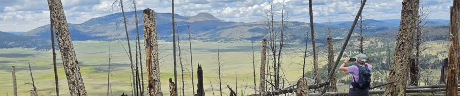
Returning to an old friend, Cerro Grande overlooking the Valles Caldera.
The Drive In
To get there, from either direction on NM 4:
…. From the East 5 miles from the entrance to Valles Caldera
…. From the West 5 miles from the intersection of NM 4 and NM 501 (the road through Los Alamos)
…. Parking is on the north side of NM 4.
The Hike
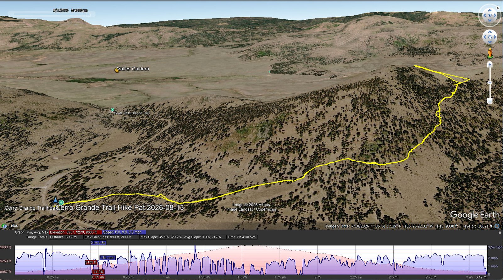
Cerro Grande Trail Hike.Pat.2026-08-13
Notes about the Google Earth screenshot: the graph at the bottom shows elevation of the track (pink area) and speed (the blue line). Click on the image for a full-screen view.
We are looking forward to hiking up to the peak of Cerro Grande again. But not having recently hiked on trails with much elevation gain or at the altitude of this mountain, this day we planned to hike to the saddle, about half way to the peak.
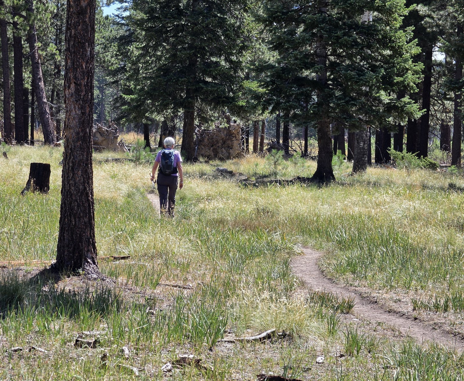
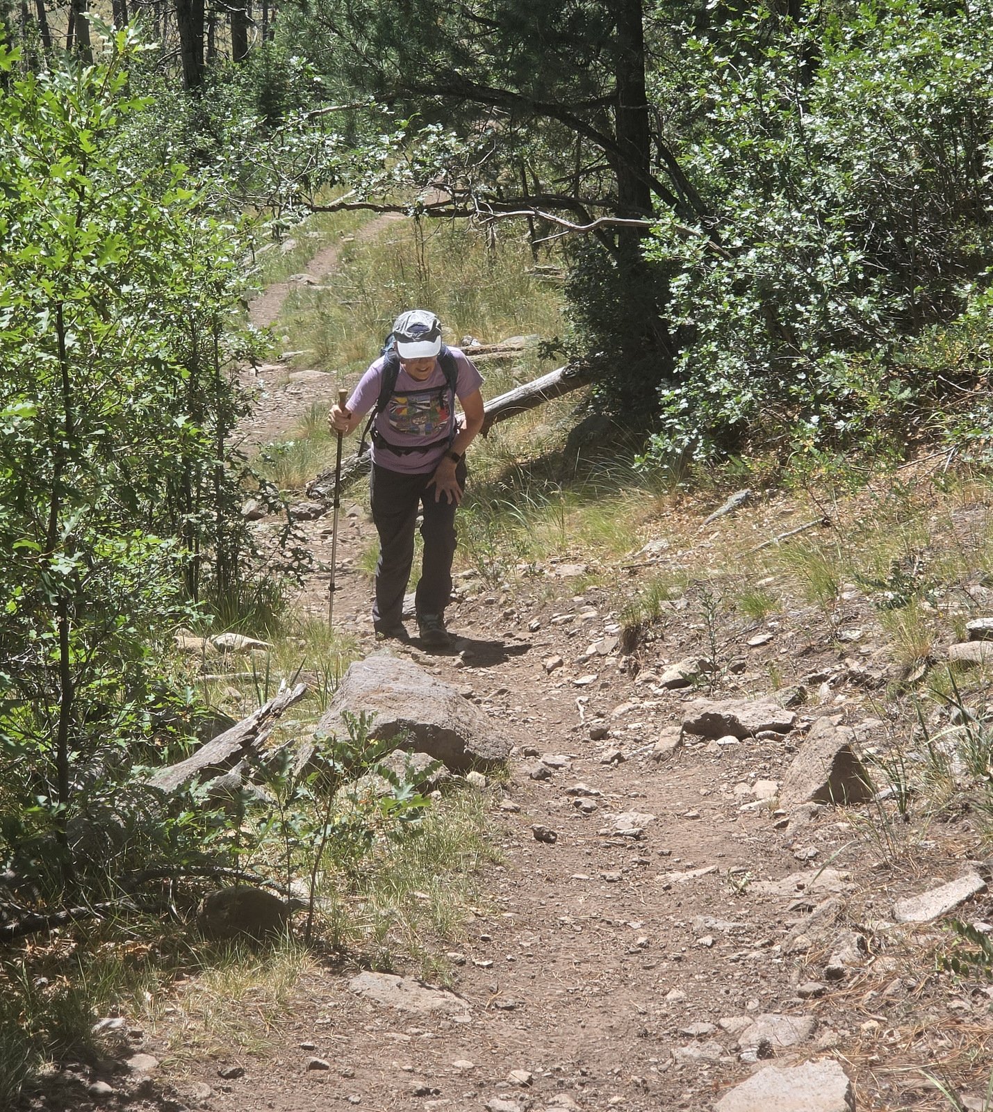
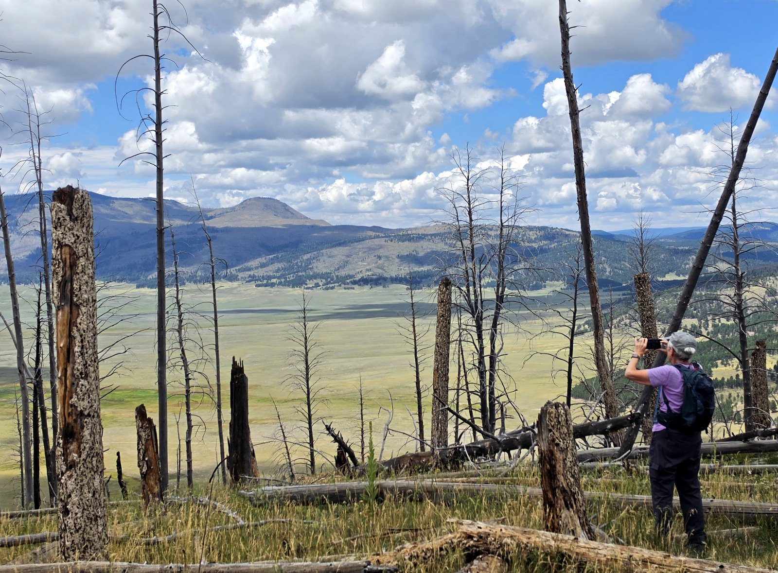
It is a most pleasant trail, starting with a quite gentle grade on a well-used dirt trail for the first half mile or so. Then the slope increases with an occasional section with a rocky surface. After two or three hundred yards of a level trail on a steep hillside, the slope again picks up for the remainder to the saddle. Once there, we wandered over to the far edge from where we could look down into and across the Valle Caldera.
You can read a more complete description of the trail on the post for our previous hike, Cerro Grande Trail Hike – 05/29/2019
Highlight
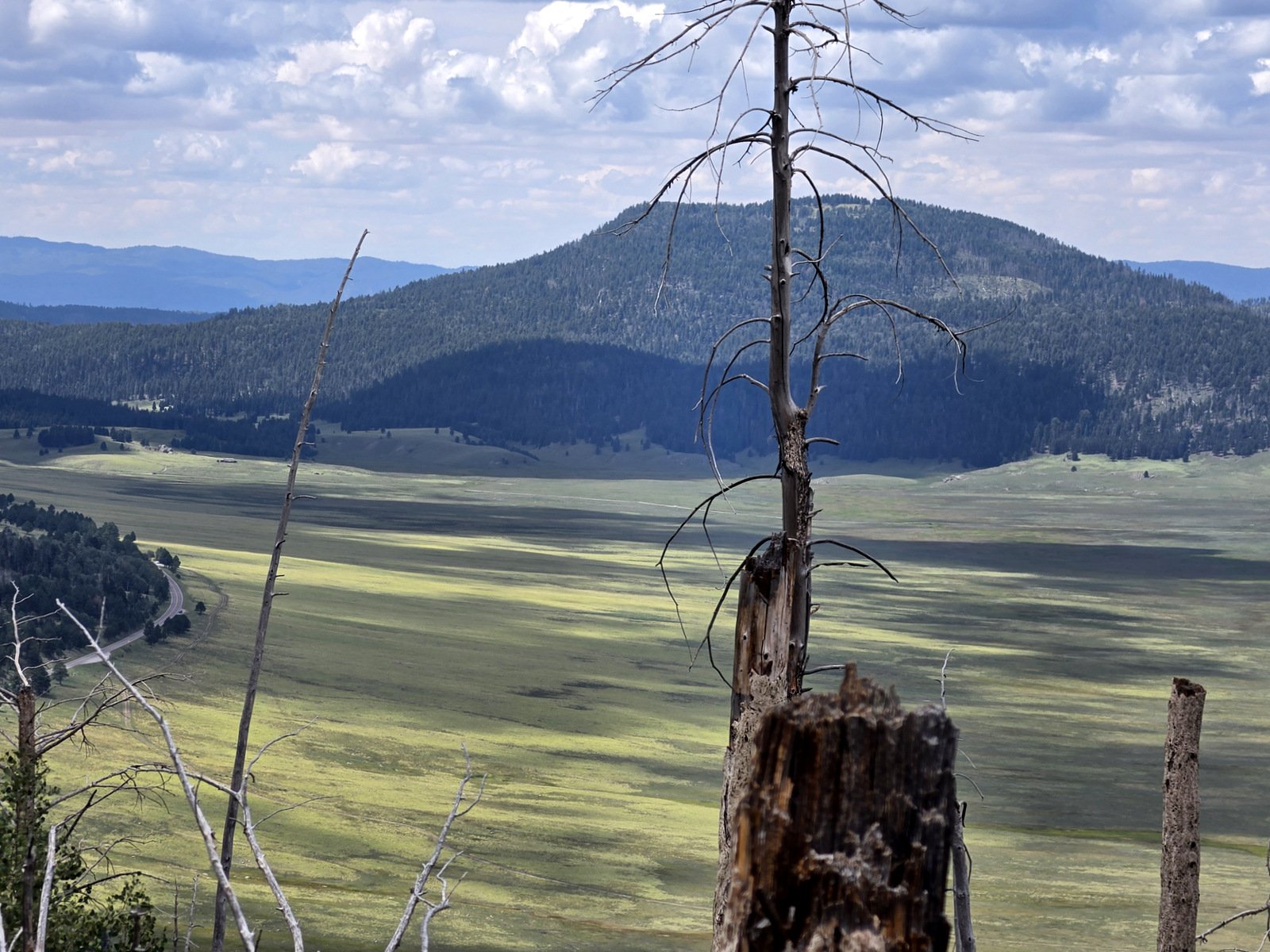
The view of Valle Grande is always a treat, highlighted today by the shadows of clouds across the caldera floor.
Statistics
Total Distance: 3.12 miles
Elevation: start 8,958 ft, maximum 9,680 ft, minimum 8,957 ft
Gross gain: 723 ft. Aggregate ascending 890 ft, descending 890 ft
Maximum slope: 35% ascending, 29% descending, 9.8% average
Duration: 3:42, Average Speed: 0.8 mph, Shade: 40%
| GPS Track Files for Download | |
12 Downloads | |
|---|---|
12 Downloads | |
14 Downloads | |
| If you haven’t explored these hiking tracks with Google Earth, give it a try. With the virtual 3-dimensional presentation, achieved by panning and tilting the view, you can get good idea of the hike and the terrain. For some ideas, check out Using Google Earth Track Files. | |
Related Posts
References and Resources
National Park Service: Cerro Grande Route
AllTrails: Cerro Grande Route
Los mejores senderos in Valles Caldera National Preserve
and in English: Explore trails in Valles Caldera National Preserve
PeakVisor: Cerro Grande (very interesting perspective from the top, identifying peaks that are in view)
Pajarito Environmental Education Center: Valles Caldera Rim Trail (informative description of the Valles Caldera)
Views to date: 7 views.