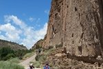
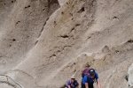
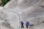
Bandelier National Monument is a great place to introduce visitors to New Mexico to Ancient Pueblo history.
The Hike

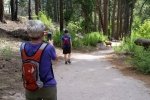
Thus, it was time to go there with grandson Peyton.
Statistics
Total Distance: 2.85 miles
Elevation: start 6,066 ft, maximum 6,400 ft, minimum 6,066 ft
Gross gain: 336 ft. Aggregate ascending 944 ft, descending 949 ft
Maximum slope: 72% ascending, 69% descending, 11% average
Duration: 1:57
| GPS Track Files for Download | |
169 Downloads |
|
|---|---|
82 Downloads |
|
I urge you to explore our hiking tracks with Google Earth. With the virtual 3-dimensional presentation, achieved by panning and tilting the view, you can get a much better idea of the hikes and terrain than you can get from the 2-dimensional screenshot above. For assistance: Using Google Earth Track Files.
References
National Park Service: Bandelier National Monument
The American Southwest: Bandelier National Monument
Google: Bandelier National Monument
YouTube Video: Bandelier National Monument (Edward Rozylowicz)
Earth Observatory: Bandelier National Monument
While Peyton visited, we went to Meow Wolf in Santa Fe.
Last Updated on August 5, 2022 by George Young
