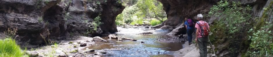
Pat and I explored this trail earlier; on this day we returned to it with grandson Peyton.
The Hike
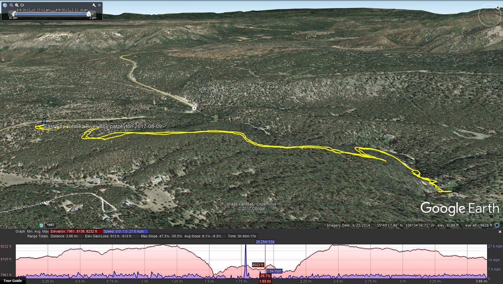
East Fork Jemez Box Hike.PatPeyton.2017-08-09
This is an easy hike, and to exploring the Box was entertaining. And this time we came prepared to wade in the river.
Statistics
Total Distance: 3.36 miles
Elevation: start 8,100 ft, maximum 8,232 ft, minimum 7,961 ft
Gross gain: 371 ft. Aggregate ascending 913 ft, descending 913 ft
Maximum slope: 47% ascending, 56% descending, 8% average
Duration: 2:26
| GPS Track Files for Download | |
239 Downloads | |
|---|---|
242 Downloads | |
I urge you to explore our hiking tracks with Google Earth. With the virtual 3-dimensional presentation, achieved by panning and tilting the view, you can get a much better idea of the hikes and terrain than you can get from the 2-dimensional screenshot above. For assistance: Using Google Earth Track Files.
References:
SummitPost: East Fork Box
USDA Forest Service: East Fork Trail (FT #137)
ASCHG: East Fork Box Wade Hike


