The weather forecast called for cold and windy conditions, with a likelihood of snow. ‘Tho we planned to head out into the Ojito Wilderness, these conditions would make for an unpleasant hike. So, we changed our plans and headed for the east side of the Sandia Mountains. Using the Sandia Mountains Hiking Guide, we opted for this loop, thinking we would be sheltered from the wind among the trees. That proved to be partially true – we had some strong winds part of the time and cold when clouds covered the sun.
The Hike
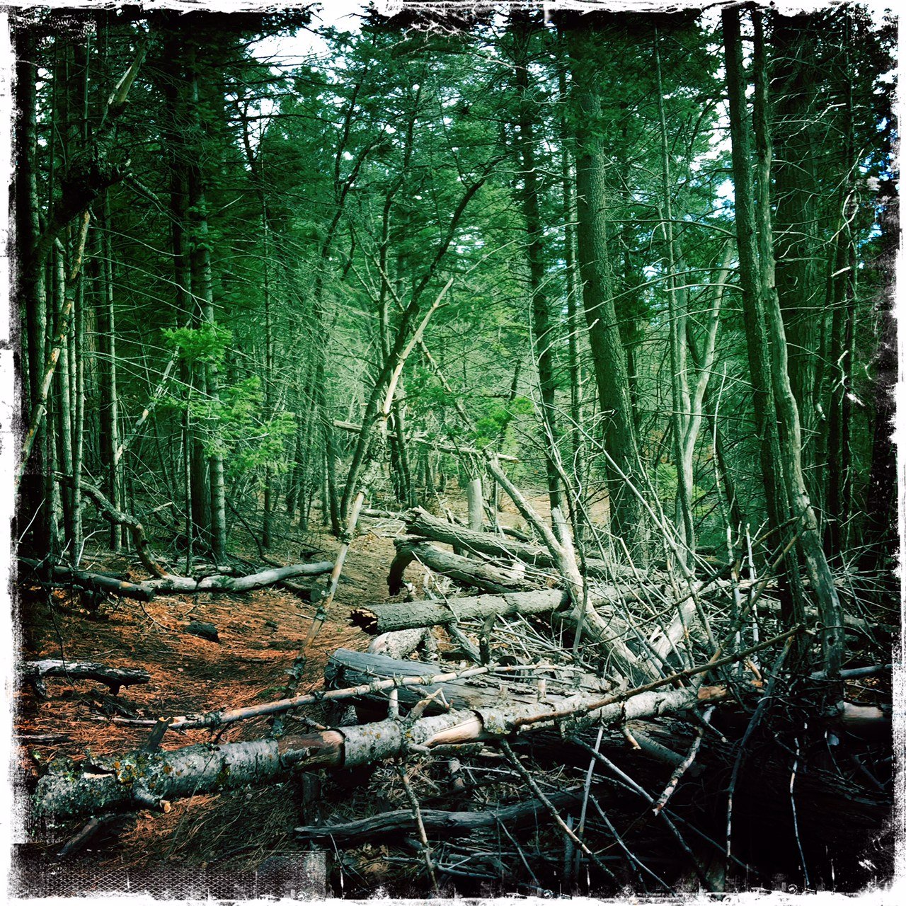
This is an easy hike, ‘tho with a large elevation gain. The trail is in ponderosa, fir, and juniper forest throughout; the surface varies from needle-covered dirt to some rocky areas. In a few spots there was a fair amount of deadfall, particularly in one section coming down Cienega Canyon. There was also many areas where clearing had been taking place, leaving large piles of branches and limbs.
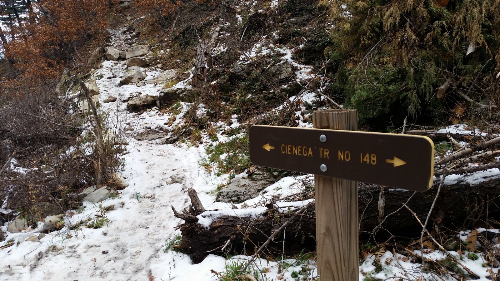
Jay here: One man’s easy is another man’s huff and puff. George likes elevation variety and we did have that. The ice and snow covered canyon side trek down toward end of hike was not the thrill ride I was looking for and the cold wind on the high ground made it a challenging albeit shorter hike.
Statistics
Total Distance: 5.81 miles
Elevation: 7,268 start, 7,877 maximum, 7,090 minimum
Gross gain: 787 ft. Aggregate ascending 1,392 ft, descending: 1,392 ft
Maximum slope: 25% ascending, 30% descending,99% average
Duration: 3:12
| GPS Track Files for Download | |
140 Downloads |
|
|---|---|
235 Downloads |
|
If you haven’t explored these hiking tracks with Google Earth, I urge you to try it. With the virtual 3-dimensional presentation, achieved by panning and tilting the view, you can get a much better idea of the hikes and terrain than you can get from the screenshot above. For some ideas, check out Using Google Earth Track Files.
References
Sandia Mountains Hiking Guide: “Armijo Trail”
ASCHG: “Armijo Canyon Loop Hike“


Hello again George,
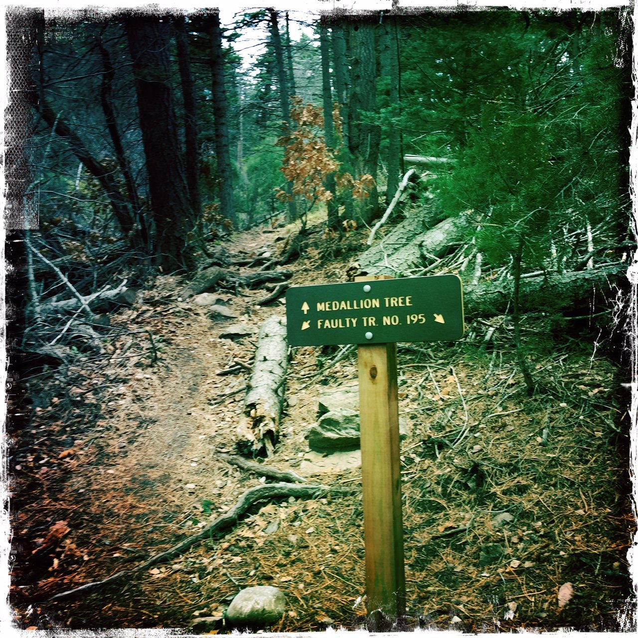
My name is David Espinosa and we spoke on Friday night at the art show at the cancer healing center. I just wanted to get back to you and say I have checked out some of your stuff and it all looks like a lot of fun and a great resource for other hikers and walkers. Ironically while I was looking at your photos on this one I noticed you had taken a couple of pictures of the only medallion tree sign I have seen in the Sandias. This tree is about 50 yards up the trail from the sign and is a big Ponderosa right next to a similar one the same size. It is labeled as the #1 Medallion tree and is called the Santa Fe Trail tree Germination Date 1851. Also this morning’s Journal front page story has a short little article on the medallion trees(go figure that coincidence right after we had talked), I had to laugh a little about how much they knew and didn’t about the specifics concerning the old guy and his hobby.
Have a great day and keep up the great adventures. David
Thanks, David, for leaving a comment. And for the comment as well. I, too, noticed the article in today’s Journal; such a coincidence. Since our conversation and a quick Google search that returned a photo of a medalion, I then recalled having seen one or more of them -somewhere- in the Sandias. But … I didn’t realize I had included a photo of the sign in a photo; thanks for pointing that out.