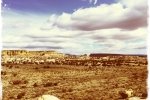
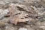
Returned again to the western area of the Ojito Wilderness, out Cabezon Road to the gas line pumping station, then right on Pipeline Road for about 2.4 miles. This took us past the two-track turnoff at the corral (see Mesita de Ricardo Hike and Woodpile at Mesita de Ricardo Hike) and at the next two-track we came to, we turned right off of Pipeline Road into Arroyo Bernalillito.
The Hike

Flora for this hike: A combination of what appears to be moss or lichen: grey, pink, and the white bulbs?
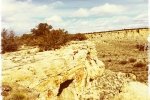
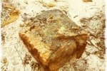
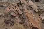
Hiking, we ascended to explore a mid-level mesa on the south (right) side of Arroyo Bernalillito. Not finding a suitable way down when the mesa petered out, we retraced our steps to return to the Arroyo. We then set our sights on revisiting the Petrified Woodpile that we stumbled across on the Mesita de Ricardo Hike. We found the various logs visited on the past visits, and didn’t find anything remarkable for more photos – check out those other hikes.
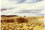
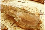
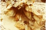
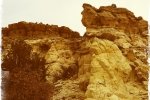
After our coffee break, we headed in a north-westerly direction to skirt the south side of Mesa de Ricardo (I haven’t found that name on any map, but figure it is appropriate since a small, stand-alone mesa at the end of this mesa is “Mesita de Ricardo”). We didn’t see anything of great interest on our way back to the truck, but as it is throughout the Ojito Wilderness, we marveled at the many different geological formations and objects. We will return, to check out Mesa de Ricardo next.
Jay here: We knew it was going to be cold and windy but sunshine on the early portion of the hike lulled us into thinking we might catch a break. No such luck. By the time we stopped for coffee the cloud cover was complete, we were trying to stay out of the wind and the snow flurries started up. But what keeps us coming back is the extraordinary geology, the variety of hikes and the knowledge that in a few more months it will be too hot to hike here.
Statistics
Total Distance: 3.92 miles
Elevation: 5,889 start, 5,961 maximum, 5,849 minimum
Gross gain: 112 ft. Aggregate ascending 475 ft, descending: 475 ft
Maximum slope: 19% ascending, 26% descending, 4% average
Duration: 3:00
| GPS Track Files for Download | |
155 Downloads |
|
|---|---|
107 Downloads |
|
I urge you to explore our hiking tracks with Google Earth. With the virtual 3-dimensional presentation, achieved by panning and tilting the view, you can get a much better idea of the hikes and terrain than you can get from the 2-dimensional screenshot above. For assistance: Using Google Earth Track Files.
Related Posts (in the vicinity)
References
BLM: Ojito Wilderness


