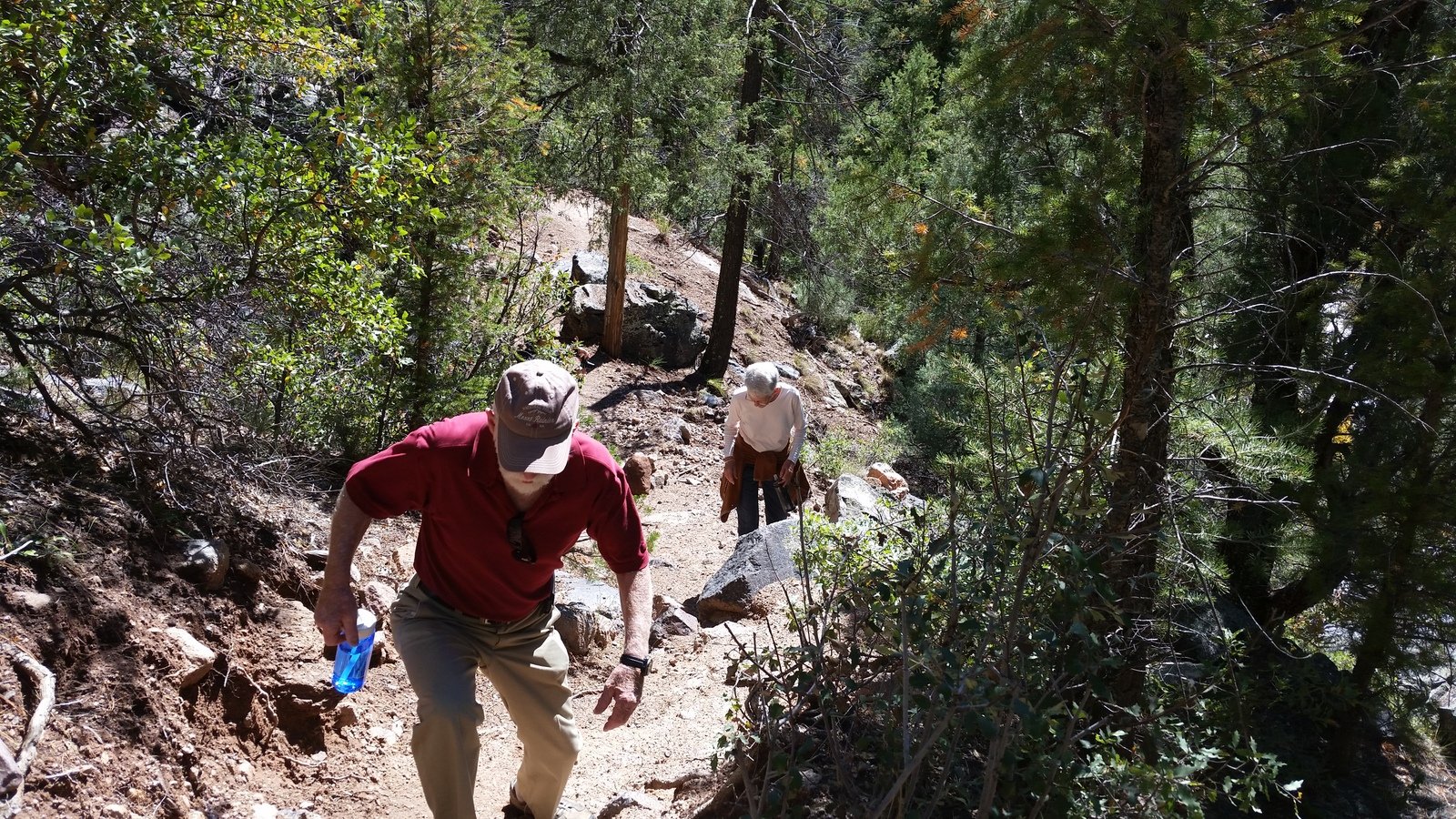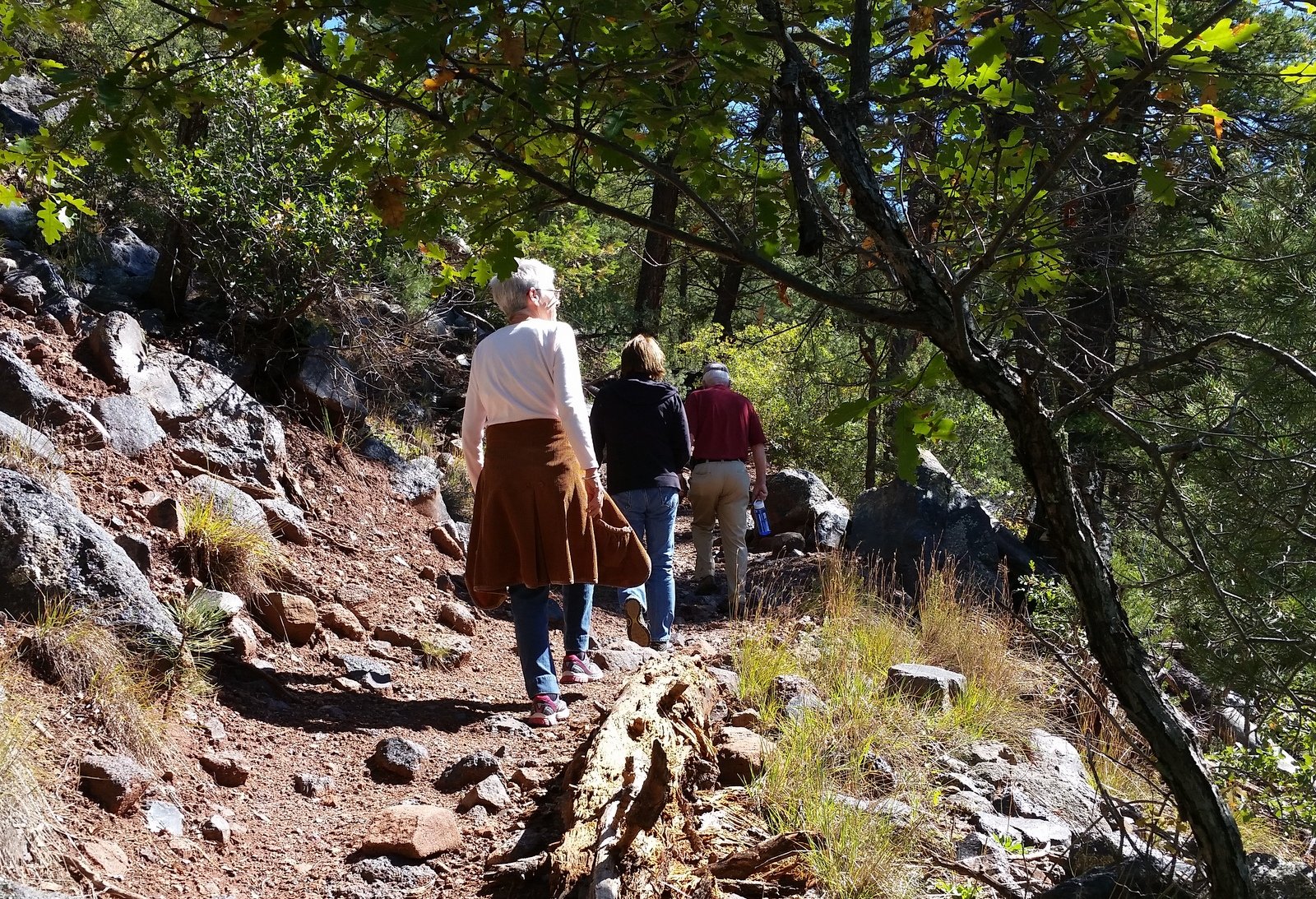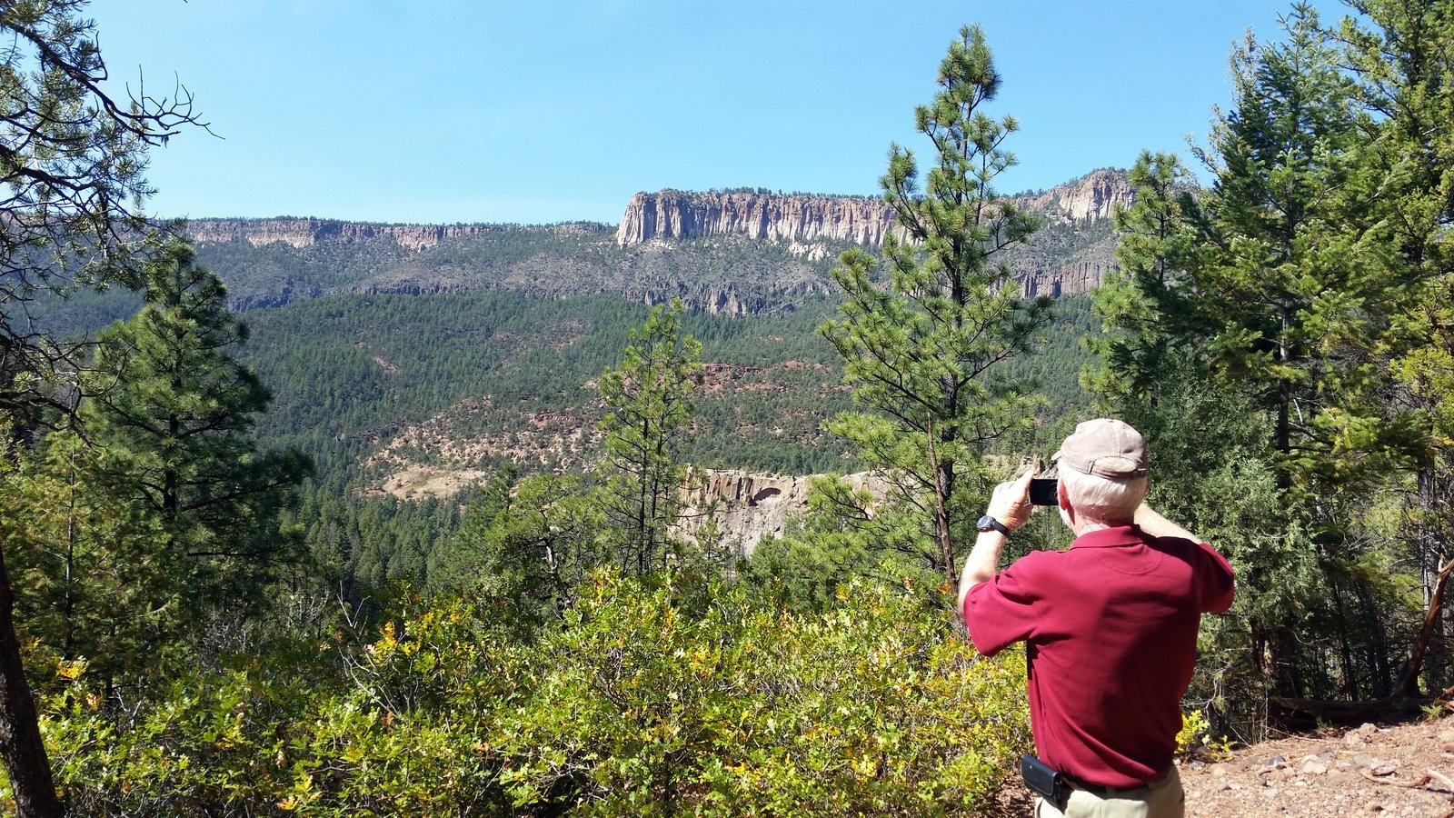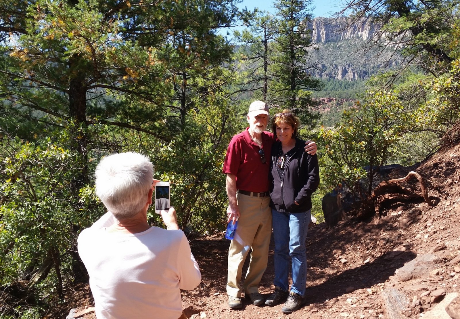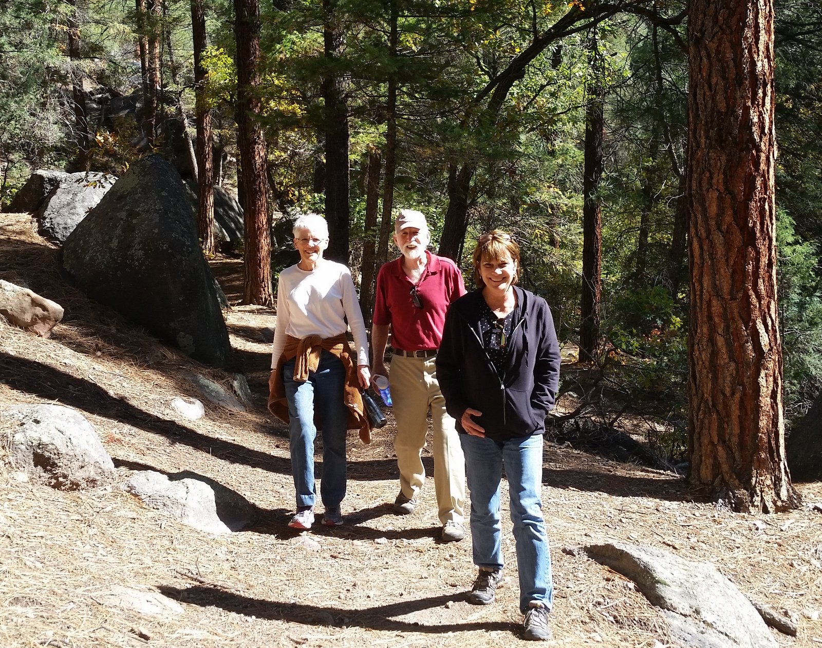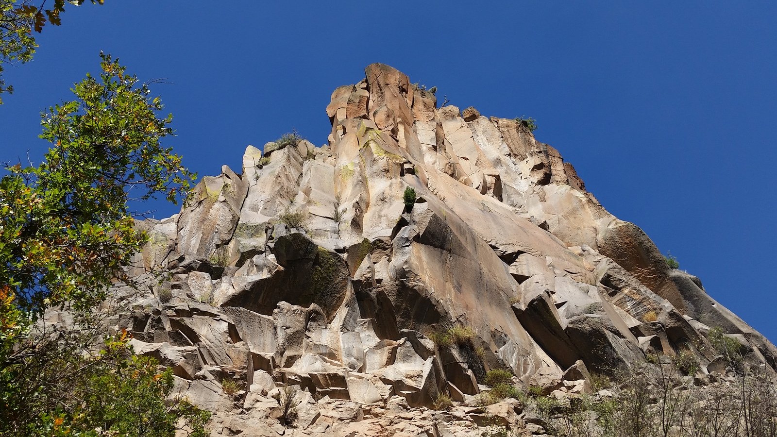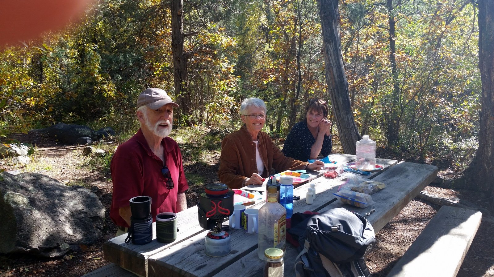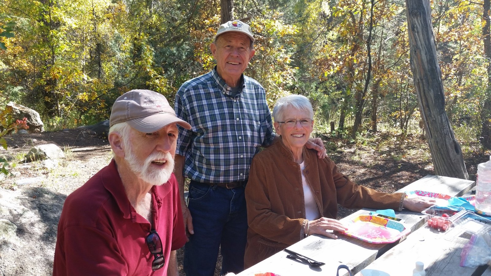
The Hike
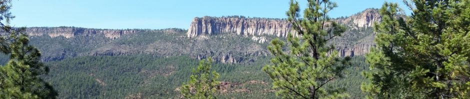
A beautiful day for a hike, then coffee, with family from North Carolina. First time on the East Fork Jemez River Trail, from Battleship Rock.
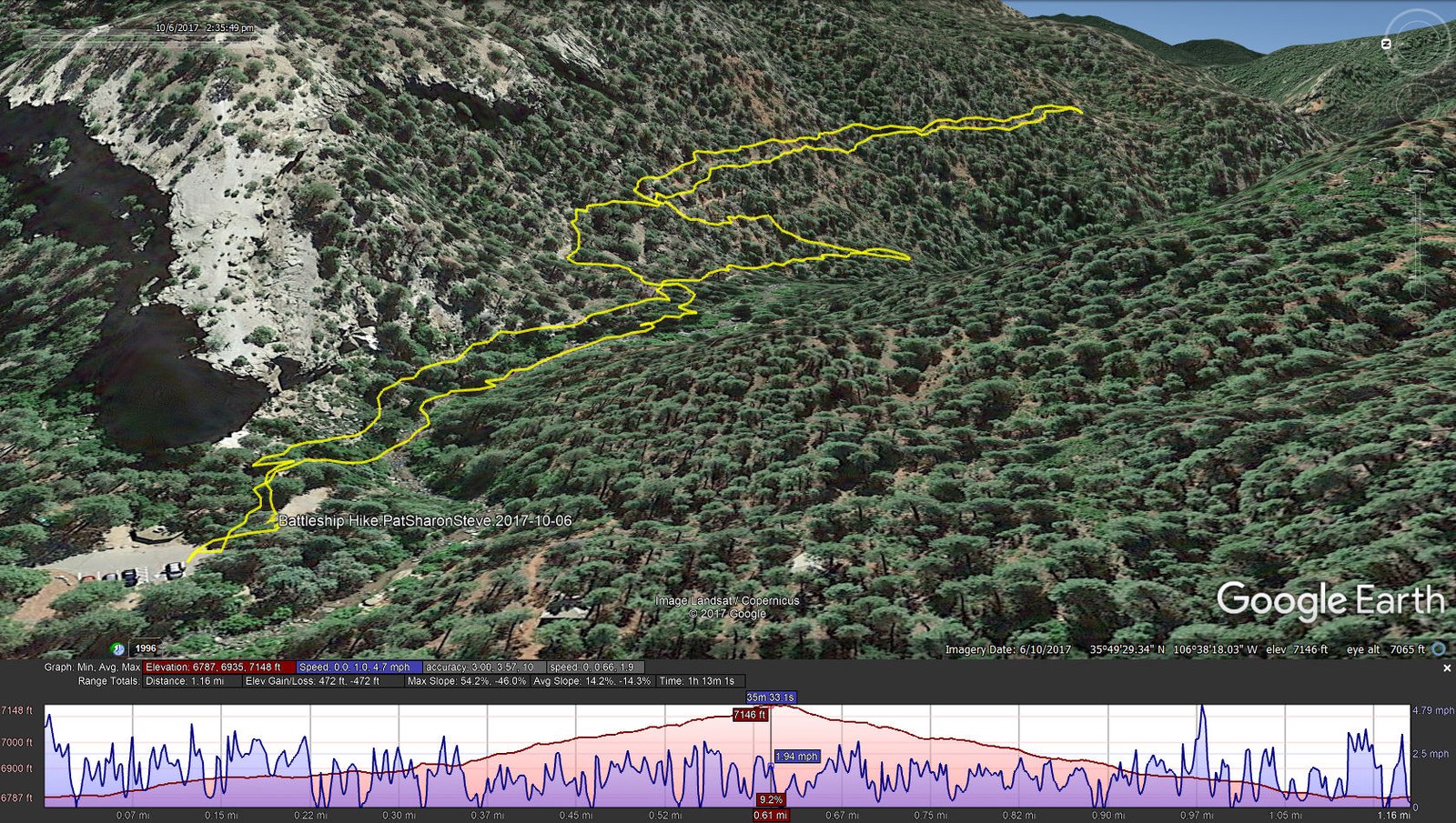
Battleship Hike.PatSharonSteve.2017-10-06
Statistics
Total Distance: 1.16 miles
Elevation: start 6,787 ft, maximum 7,148 ft, minimum 6,787 ft
Gross gain: 361 ft. Aggregate ascending 472 ft, descending 472 ft
Maximum slope: 54% ascending, 46% descending, 14% average
Duration: 1:13
| GPS Track Files for Download | |
342 Downloads | |
|---|---|
197 Downloads | |
I urge you to explore our hiking tracks with Google Earth. With the virtual 3-dimensional presentation, achieved by panning and tilting the view, you can get a much better idea of the hikes and terrain than you can get from the 2-dimensional screenshot above. For assistance: Using Google Earth Track Files.