Introduction
Continuing to explore the wonderful canyons in the Jemez Mountains north of La Cueva, on this day we tackled Bear Canyon and a smaller canyon just south of Bear (I’ll call it “Little Bear”). Unable to find a GPS track from someone else, I sketched out a loop for us to try. I expected two steep sections, one near the bottom of the canyon where we would ascend to the ridge-top for our return to parking, and again descending down from the ridge near the finish.
The Hike
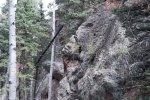
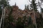
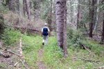
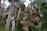
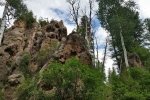
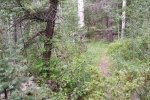
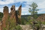
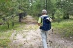
Leaving FR 378 (an extension of FR 144) 1/4 miles south of parking, we found ourselves on an old two-track, which we followed for about 1.25 miles, where we joined -the- Bear Canyon. For most of the way Little Bear’s sides were sloping, forested; as we neared it’s lower end the north side became a canyon wall of volcanic material so common in the Jemez. And in Bear Cayon the north side became even higher and more sheer.
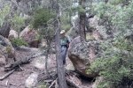
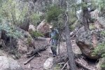
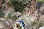
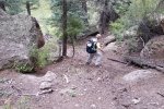
As we neared the place I planned to turn back towards our starting point, climbing through a side canyon (which I expected was going to be a steep climb), I saw what appeared to be a nice, tho’ steep, slope up towards the canyon top. It was steep but doable, but … what I didn’t expect was that we would find ourselves on somewhat more level terrain, but looking at another steep ascent, … to another less steep section … and after 5 or 6 of these climbs we finally topped the ridge. As you can see from the profile in the bottom of the screenshot above, we climbed some 567 feet in elevation, over 2,109 feet horizontal, an average slope of 49%, with maximum exertion for us for 39 minutes.
[OK, for future sketching and planning, and before tackling a steep climb out of a canyon, I need to look at the starting and finishing elevations, as well as the slope and horizontal distance, before committing us to such a track.]
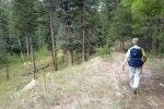
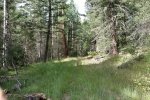
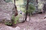
Once up in the ridge, the going was easy. As anticipated, we soon found an old two-track, the terrain was relatively level and flat. Nearing FR 378 from which it would be a mile back to park, we discovered a trail or two-track on the Topo chart which cut off some of the distance. As we came to a point where we wanted to turn left (south) to parking, we found ourselves looking down on another steep canyon wall. But, lo and behold, Topo indicated a trail down seemingly directly down the “cliff”. Closer inspection revealed a cleft in the cliff face, an easy descent to the canyon floor, then across the canyon, back up to FR 378, and to parking.
Highlight
We would have avoided the serious climb if I had followed my sketch. For future hikes, I’ve plotted an alternate track to get from Bear Canyon up onto the ridge north of the canyon. Instead of 1/4 mile from bottom to top, it is 2/3rd of a mile. I look forward to someday checking them out – if someone else does so, please send me a report; thanks.
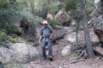
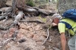
Jay here: Bear Canyon. Good name. Because the way we climbed out of the canyon up the steep series of rock outcrops was a real bear. And I have the shin scrapes to prove it. The 39 minutes it took to get up the 49% slope felt like more than an hour. We would scramble about 20 feet and then stop to get more oxygen. Geo redeemed himself when he found the cleft in the rock face that got us off the cliff and back to the canyon floor toward the end of the hike. Which all goes to prove that there’s always a lesson or two when we make these forays into the New Mexico landscape.
Statistics
Total Distance: 5.43 miles
Elevation: start 8,750 ft, maximum 8,913 ft, minimum 8,239 ft
Gross gain: 674 ft. Aggregate ascending 1,308 ft, descending 1,309 ft
Maximum slope: 49% ascending, 45% descending, 9% average
Duration: 2:59
| GPS Track Files for Download | |
224 Downloads |
|
|---|---|
206 Downloads |
|
I urge you to explore our hiking tracks with Google Earth. With the virtual 3-dimensional presentation, achieved by panning and tilting the view, you can get a much better idea of the hikes and terrain than you can get from the 2-dimensional screenshot above. For assistance: Using Google Earth Track Files.
References
ListofJohn Topo: Bear Canyon


