Hike with the Leppas to Boletsakwa Ruins, 07/11/2015.This is such a great hike for visitors – this time the family from Virginia.
The Drive In
The drive from Bernalillo up US 50 to San Ysidro, then up NM 4 that follows the Jemez River, through Jemez Pueblo (honor the speed limits here) and a visit to the Visitors Center at Jemez Springs. Then we returned south, turned left on NM 290, continued past the name-place Ponderosa and further on the Paliza Campground. At the campground, we turned left onto FR 10, crossed the River and continued up the winding ascent to the top of Ponderosa Mesa. Parking at the top, we walked south, a short 1.2 miles on an easy trail to the Boletsakwa Ruins.
The Hike
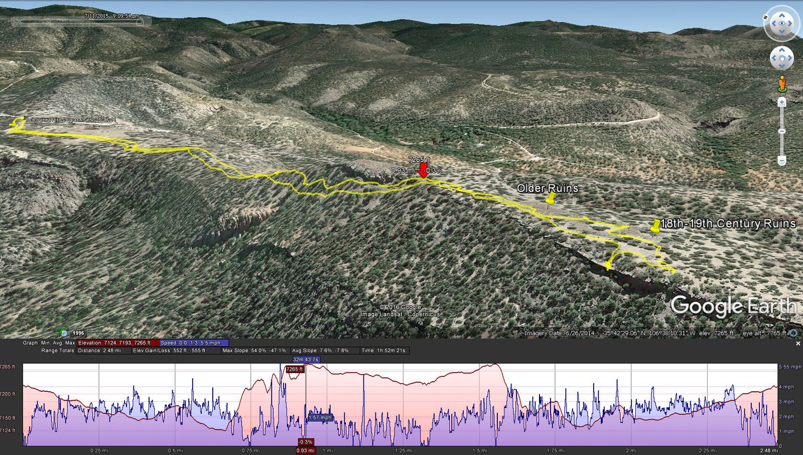
Boletsakwa Hike.Leppas&Pat.2015-07-11
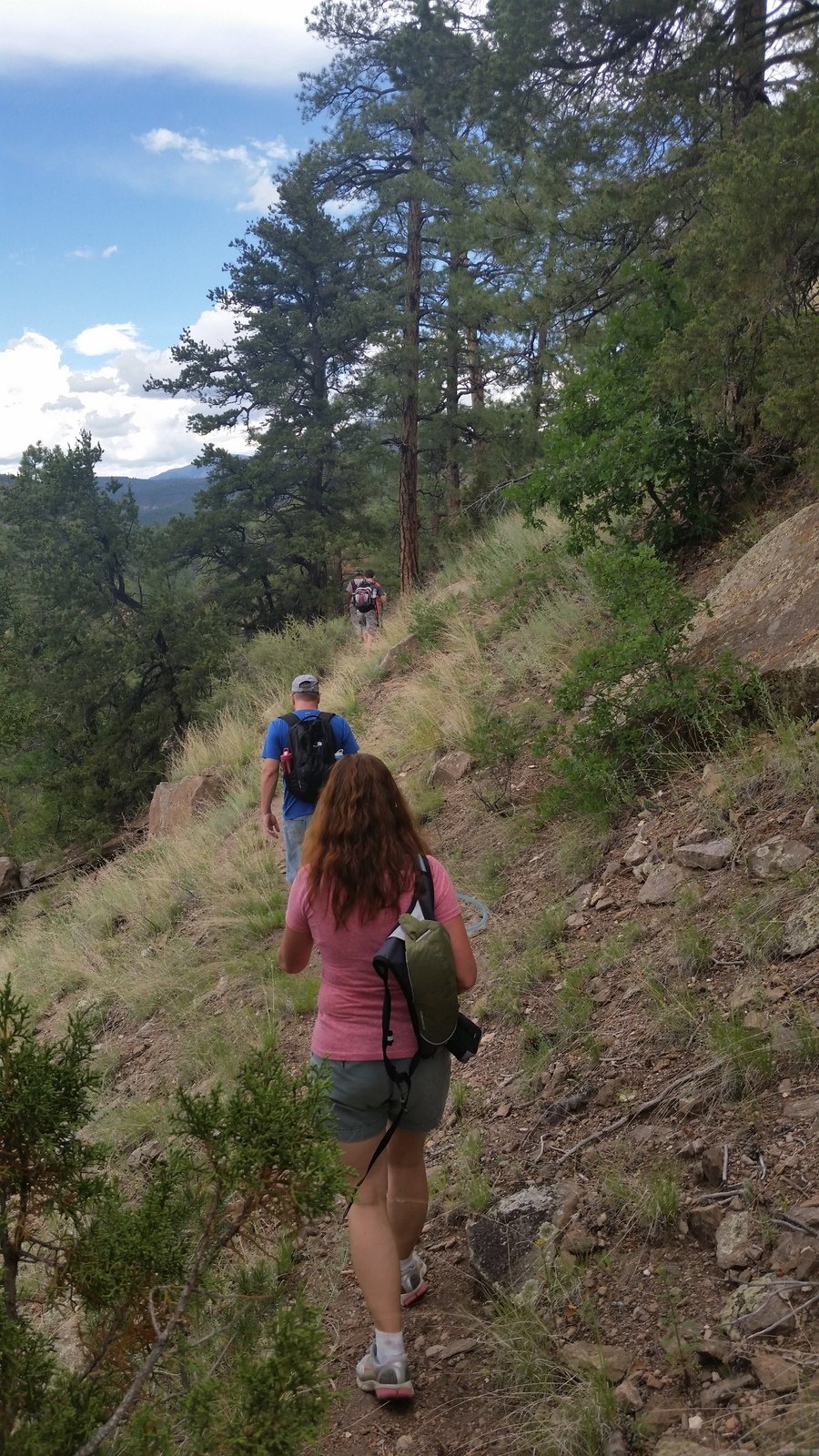
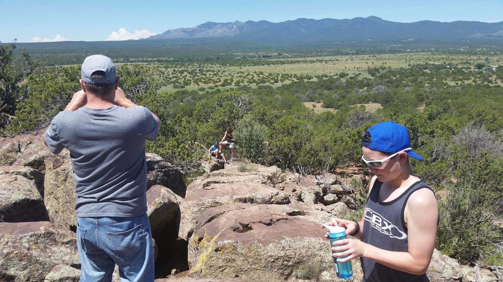
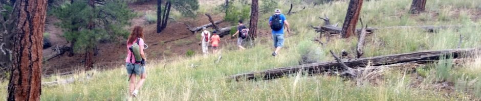
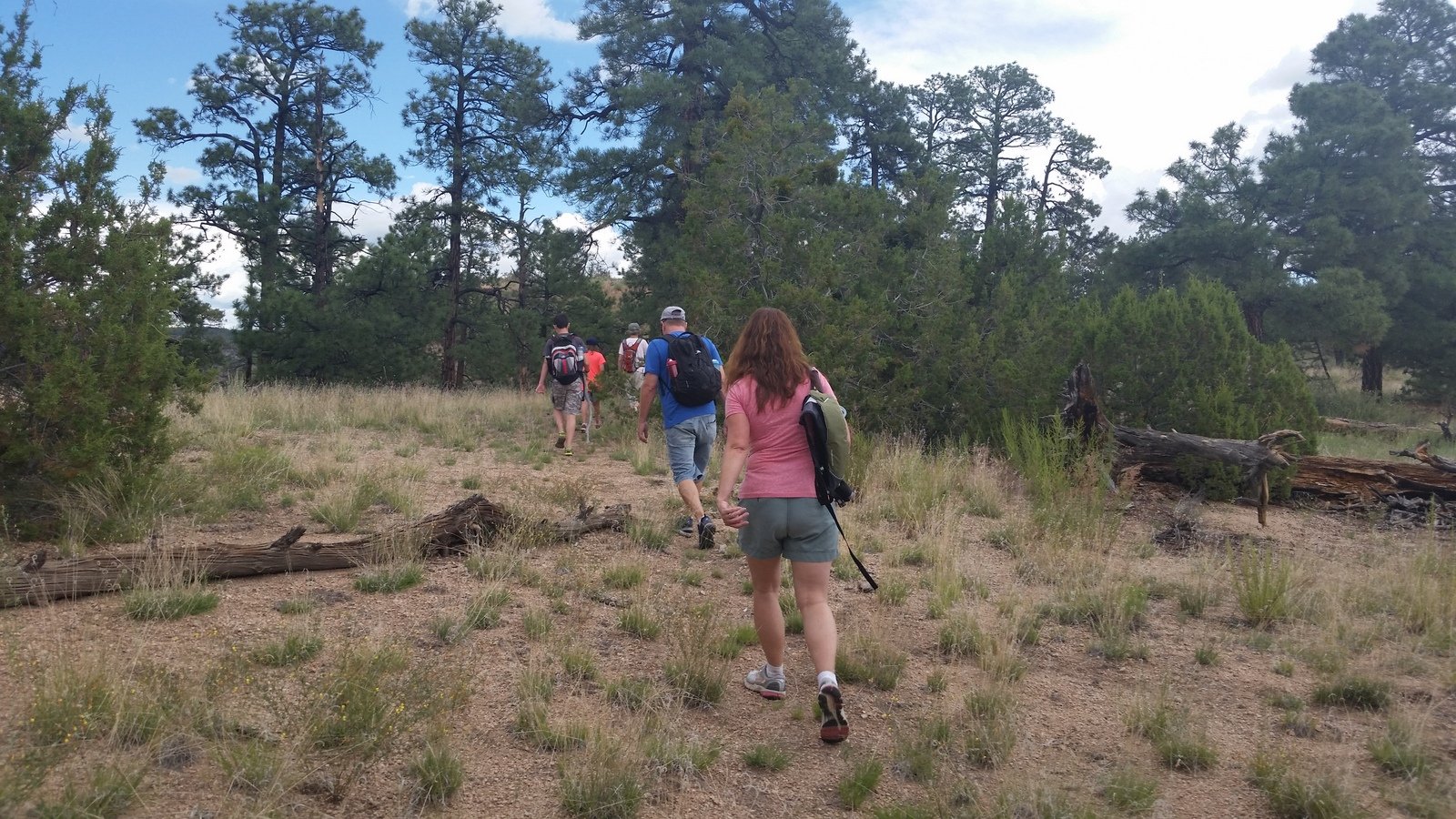
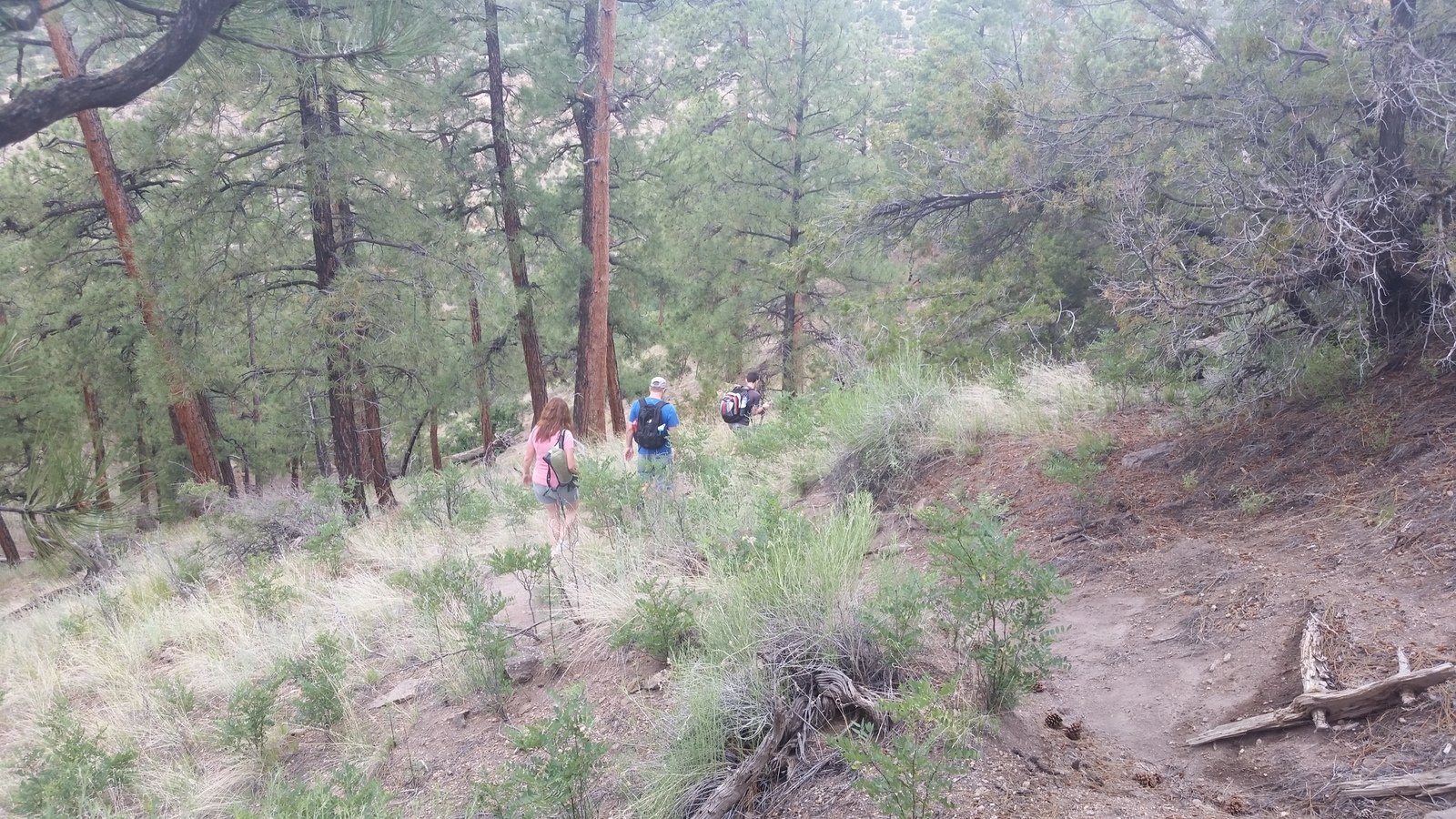
The photos tell the story of this hike.
References and Resources
Other posts for Boletsakwa Ruins.
Statistics
Total Distance: 2.48 miles
Elevation: 7218 start, 7,263 maximum, 7,124 minimum
Gross gain: 139 ft. Aggregate ascending 560 ft, descending: 560 ft
Maximum slope: 48% ascending, 39% descending, 8% average
Duration: 1:52
| GPS Track Files for Download | |
433 Downloads | |
|---|---|
363 Downloads | |
I urge you to explore our hiking tracks with Google Earth. With the virtual 3-dimensional presentation, achieved by panning and tilting the view, you can get a much better idea of the hikes and terrain than you can get from the 2-dimensional screenshot above. For assistance: Using Google Earth Track Files.
References
OtherHand: Boletsakwa Ruins
Dog of the Desert: Boletsakwa in the Jemez Mountains
School for Advanced Research:
Archaeology of the Jemez Pueblo Revolt, Overnight in Jemez Springs
San Juan Basin Archaeological Society, Field Trip Report:
Jemez Mountains (pdf)
Museum of New Mexico: … Archeology of the Jemez Province … (pdf)

.")