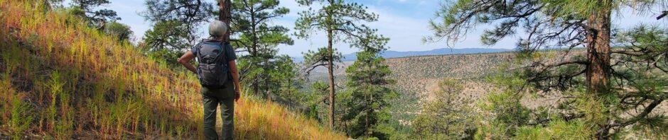
This is among our favorite places, although we haven’t returned there since 2018. It is an easy hike and is interesting – a place we consider first when visitors come to town.
The Drive In
From a post for an earlier visit:
“The drive from Bernalillo up US 50 to San Ysidro, then up NM 4 that follows the Jemez River, through Jemez Pueblo (honor the speed limits here) and a visit to the Visitors Center at Jemez Springs. Then we returned south, turned left on NM 290, continued past the name-place Ponderosa and further on the Paliza Campground. At the campground, we turned left onto FR 10, crossed the River and continued up the winding ascent to the top of Ponderosa Mesa. Parking at the top, we walked south, a short 1.2 miles on an easy trail to the Boletsakwa Ruins.”
The Hike
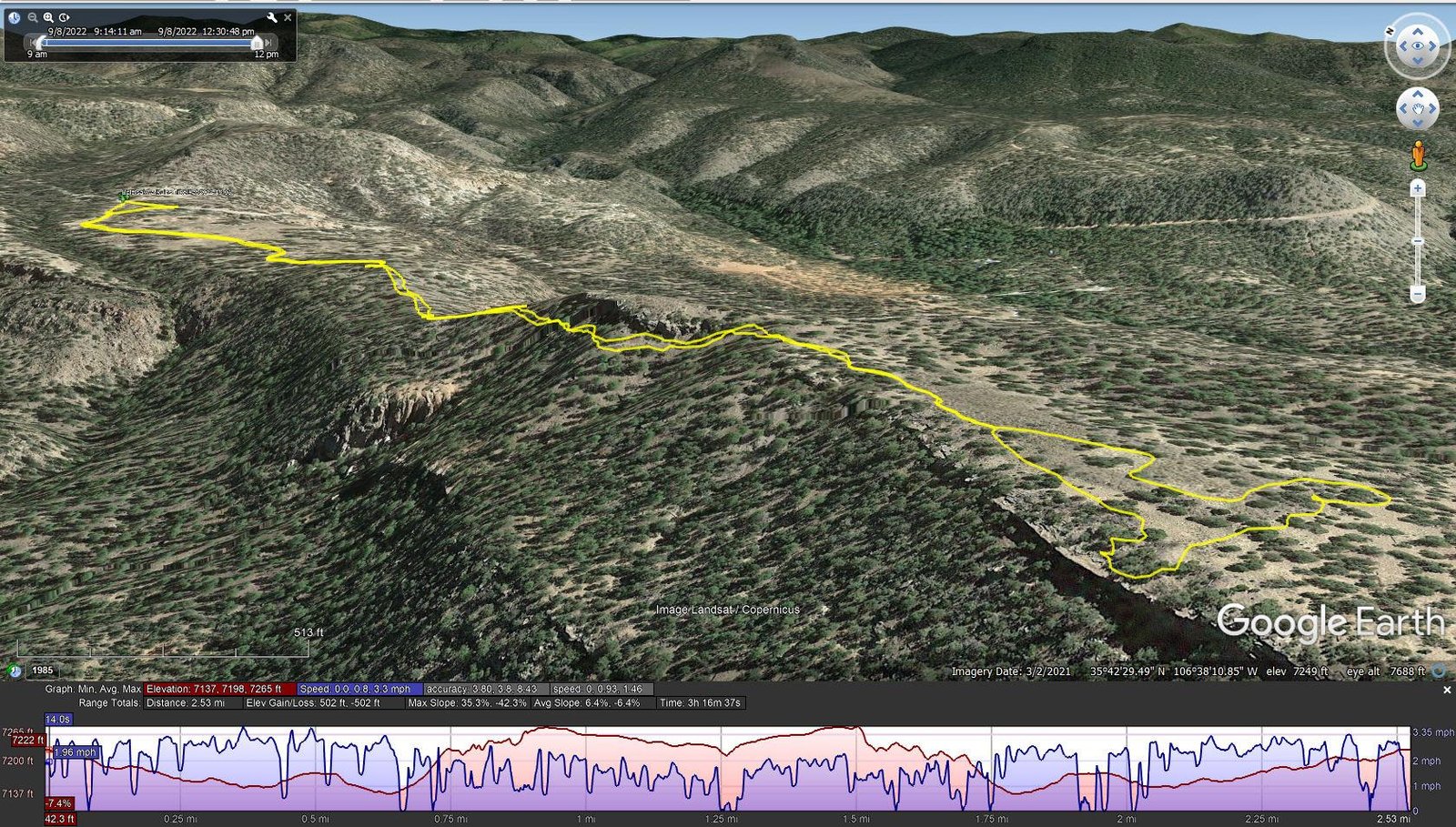
Boletsakwa Ruins Hike.Pat.2022-09-08
Notes about the Google Earth screenshot: the graph at the bottom shows elevation of the track (pink area) and speed (the blue line).
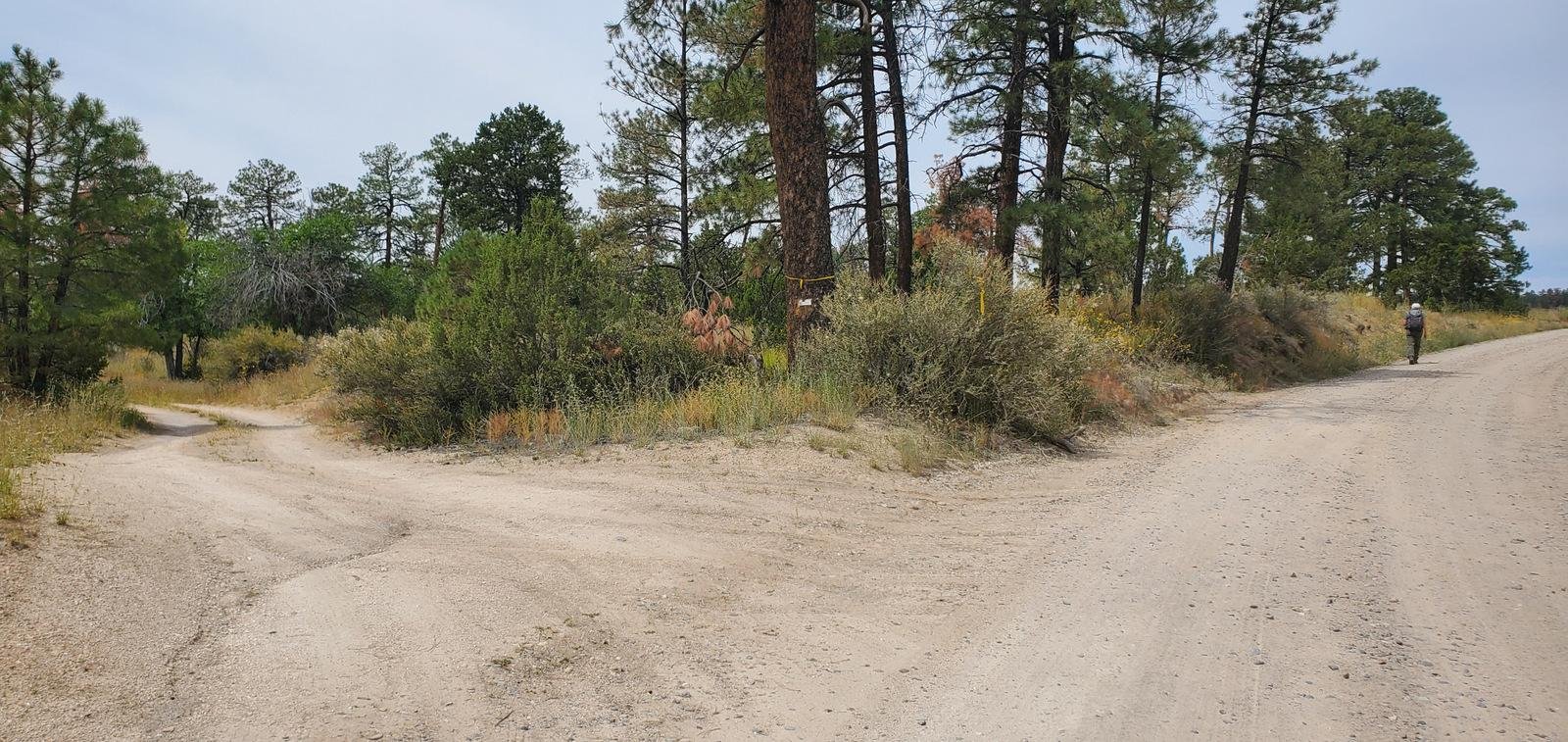
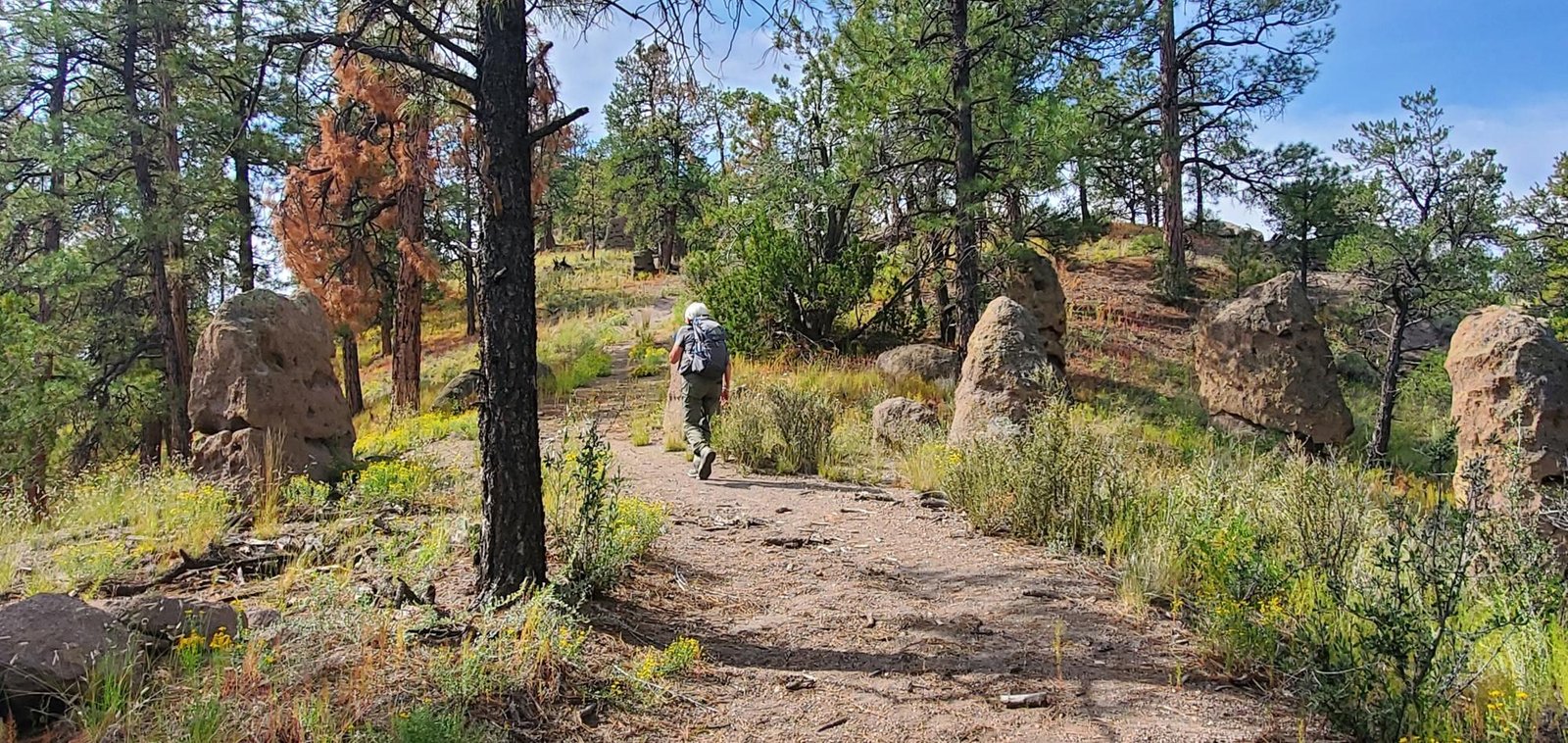 The trail begins on a 2-track at the top of the hill, up FR 10 from the bridge across the creek in Paliza Canyon (one could take a 2-track a short distance before the top of the hill that would shorten the hike a bite). From the top of the hill, the 2-track descends then ends about 3/4 mile on. From there, ascending a bit, one faces a large rock impediment. One -could- (I suppose) climb over it (it seems some do), but there is a trail that skirts the rock to the right.
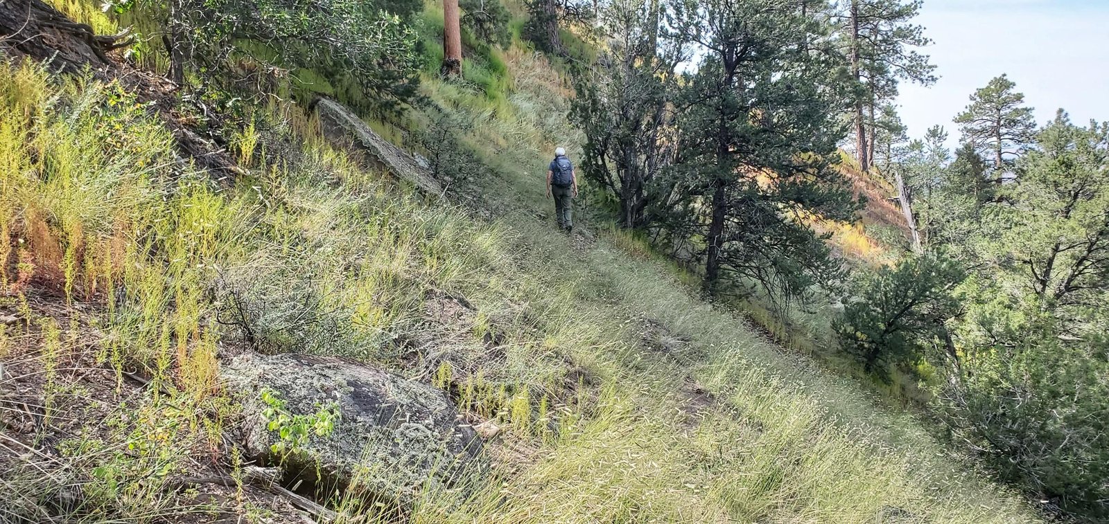 The trail crosses a steep slope, ascends, and takes one beyond the rock and onto more flat terrain.
From there the trail is less distinct, but takes one to the Boletsakwa Ruins. This day, thanks to the heavy monsoon season this year, the ruins are thoroughly overgrown and difficult to discern, especially the first and oldest of the two sets or ruins. To get some pictures of the ruins more exposed, review the photos on the hike back in 2016. None-the-less, it is interesting to be in the presence of people from Jemez Pueblo in the 17th century (see Archeology of the Jemez Province).
We continued to the far end of the more recent ruins, wandered about a bit to view the depression that must have been a kiva, then went over the western edge of the mesa to have lunch on our favorite spot – rock benches overlooking San Juan Canyon and San Juan Mesa beyond.
 On our return, we followed that alternate 2-track to assess its accessibility – it appears suitable for even standard-clearance passenger car.
Statistics
Total Distance: 2.53 miles
Elevation: start 7,220 ft, maximum 7,265 ft, minimum 7,137 ft
Gross gain: 128 ft. Aggregate ascending 502 ft, descending 502 ft
Maximum slope: 35% ascending, 42% descending, 6.4% average
Duration: 3:17
| GPS Track Files for Download | |
190 Downloads | |
|---|---|
177 Downloads | |
If you haven’t explored these hiking tracks with Google Earth, I urge you to try it. With the virtual 3-dimensional presentation, achieved by panning and tilting the view, you can get a much better idea of the hikes and terrain than you can get from the screenshot above. For some ideas, check out Using Google Earth Track Files.
Related Posts
Other posts for Boletsakwa Ruins
References and Resources
ASCHG: Goblin Rocks And Ponderosa Indian Ruins Hike
ASCHG: Ponderosa Mesa Hike
ASCHG: Ponderosa Mesa from Paliza Group CG Hike
OtherHand: Boletsakwa Ruins
Dog of the Desert: Boletsakwa in the Jemez Mountains
Museum of New Mexico, Office of Archeological Studies:
Archeology of the Jemez Province
“Archeologies of the Pueblo Revolt ..”: Extract from
School for Advanced Research:
Archaeology of the Jemez Pueblo Revolt, Overnight in Jemez Springs
San Juan Basin Archaeological Society, Field Trip Report: Jemez Mountains (pdf)
Museum of New Mexico: … Archeology of the Jemez Province … (pdf)
*** Sandia Mountain Natural History Center: Paliza Goblin Colony (video)
Includes video of Boletetsakwa;
Views to date: 166 views.