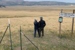
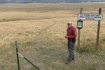
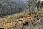
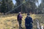
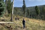
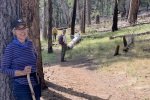
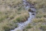
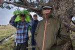
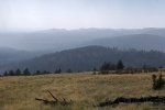
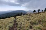
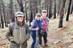
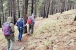
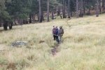
This is our first hike on a 5-day camping trip to the Jemez Mountains with friends Jay and Nancy. We set up camp in the Jemez Falls Campground, a very nice Forest Service campground in the middle of the Jemez Mountains and close to Valles Caldera. Nearby are great hiking opportunities, for all skill levels, any distanc
The Drive In
The trailhead is 13 miles east of the Jemez Falls Campground on NM 4. There is a large parking area on the north side of the road at the trailhead. (Across the road are trailheads for other trails going south into the upper reaches of Bandelier, also good hiking.)
The Hike
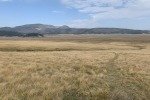
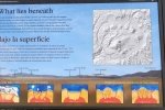
 This is a favorite trail for Pat & me, and we were pleased to bring Jay and Nancy here. On the way to the trailhead, we stopped to enjoy the tremendous view across Valle Grande, the main valley yet comprising less than 10% of the Caldera as a whole. — We did not see any elk in the Valle this morning, although often one can see one or many herds in the distance (a couple of miles – the Valle is so huge they are only dots on the valley floor.)
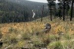
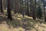
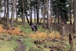
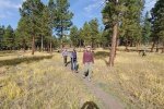
 The first half mile of the trail is a gentle slope through open forest; like all of the trail, it is well used, makes for easy walking. From there on the slope is a bit greater but I would never classify it as s
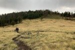
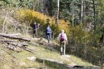
 teep, although at times it is on a hillside with a 50° slope. Topping the saddle (about 2/3rd to the summit) we paused to enjoy a great view west across the Valle to the far rim of the volcano and mountains south and west.
 From here the trail is in open grassland except for 300 or 400 yards of open forest on the east slope of Cerro Grande. We had been watching the formation of rain cells coming from the northwest. Some went around us, but our luck ran out and precipitation began with small, soft hailstones (or were they large popcorn snow). We
  sought
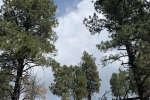
 shelter in what appeared to be the last ponderosa pine on the way to the summit; it was just large enough to keep us almost dry.
 The shower cells were moving slowly – some 50 minutes later that cell passed on and we headed down, foregoing those last yards to the summit (it is, after all, not a peak but a gentle mountain top). Though it remained cloudy, the hike back down was dry.
Highlight
The best I can do here is — the snow/rain quit after about 50 minutes while we huddled under a tree. We were able to return to the trailhead in dry conditions and enjoy our mid-hike break a couple of hundred yards from the parking area.
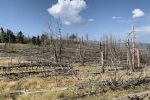
Jay here: Well, highlight is one word for it. Hail, hail, the gang’s all here, under a tree. What the heck do we care? It’s small comfort that hail storms are typical this time of year at 9k feet. You still wait for the lightning to hit the tree you are standing under. Now that’s a highlight. The sunshine at the start and the super saturated light at the end of the hike are all you have to see to experience the contrast. Great hike, great company. It’s like the analogy of who you would want to share a foxhole with…and not get killed.
Statistics
Total Distance: 4.24 miles
Elevation: start 8,959 ft, maximum 10,110 ft, minimum 8,956 ft
Gross gain: 1,154 ft. Aggregate ascending 1,325 ft, descending 1,327 ft
Maximum slope: 26% ascending, 26% descending, 10.7% average
Duration: 4:47
| GPS Track Files for Download | |
261 Downloads |
|
|---|---|
138 Downloads |
|
I urge you to explore our hiking tracks with Google Earth. With the virtual 3-dimensional presentation, achieved by panning and tilting the view, you can get a much better idea of the hikes and terrain than you can get from the 2-dimensional screenshot above. For assistance: Using Google Earth Track Files.
Previous Posts
Cerro Grande Trail Hike – 06/25/2019 (to the summit)
Cerro Grande Trail Hike – 05/29/2019 (halfway to the summit)
References and Resources (consolidated from previous posts)
National Park Service, Bandelier: Cerro Grande Trail
Valles Caldera Map
AllTrails: Cerro Grande Trail
Natural Atlas: Cerro Grande Trail, a very nice interactive map – pan, zoom etc.
American Southwest: Cerro Grande Trail, Bandelier National Monument
Wikipedia: Cerro Grande Fire
Valles Caldera
ondafringe: Day Hike: Cerro Grande/Valles Caldera
Stav Is Lost: Hike Cerro Grande
Discover the West: The Cerro Grande Route (great review, recommended)
Valles Caldera Rim: Valles Caldera East Rim: Cerro Grande Snowshoe
Keeping in Tune: I Hike the Cerro Grande Trail in the Jemez Mountains (great photos)
Los Alamos Daily Post: Amateur Naturalist: Cerro Grande Peak: Scene – Human and Natural Impacts


