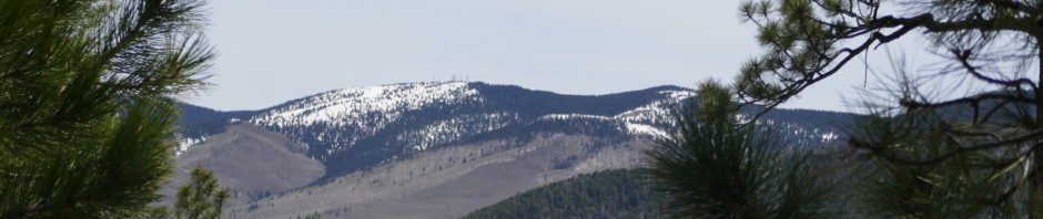
Near Santa Fe today, up Hyde Park Road into the foothills of the Sangre de Cristo Mountains, to a trail new to us – the Hyde Park Circle West and East trails. Another beautiful spring day in New Mexico – comfortably cool temperature to start out (about 9:00 AM) and at the higher elevation (~10,000 ft); became a bit warm as we finished back down in Little Tesuque Canyon. (The snow on the photo above is higher on the Sangre de Cristo, just scenery for us today.)
The Hike
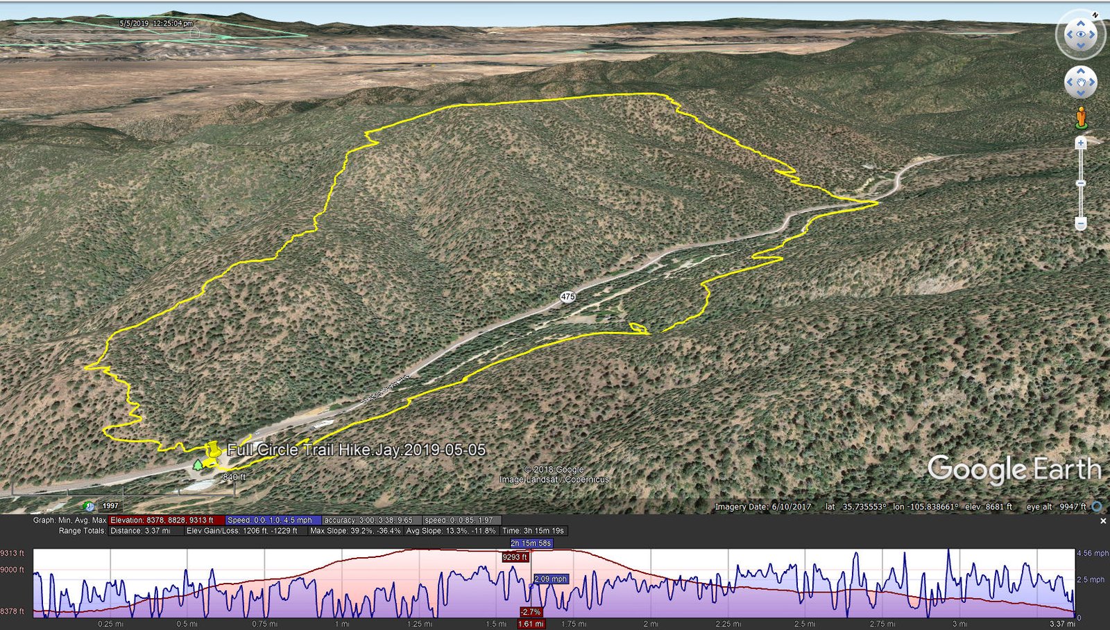
Full Circle Trail Hike.Jay.2019-05-05
We started on the trailhead across from the Hyde Park Lodge, for the Hyde Park Circle West Trail. As others report, the trail up from the trailhead is –steep–, but it’s a good surface and obviously well used (we encountered a dozen or so people on the trail). The trail is almost entirely in the shade of piñon and ponderosa trees that helps keep it cool at this high elevation under sun and the clear New Mexico sky. After a gain of nearly 1,000 feet, the trail is more level following the ridge northbound. Then the descent back down into the canyon, to the trailhead at the northern end of the Circle West Trail, is steep thankfully with many switchbacks .
The description that we read for returning to the parking area followed the Piggyback Trail which runs parallel to NM 475 (Hyde Park Rd). But signs pointed us to the East Circle Trail that passes east of the road and above the campsites in the Hyde Park State Park. This was a very pleasant stretch, a nice surface of mostly ponderosa needles, and gradually downhill back to where we parked. ‘Twas another great hike; because we did both West and East, I’ve given this hike the name Hyde Park Full Circle Hike.
Jay here: My legs were still sore 2 days later. 1,000 feet of elevation right off the bat can do that to you. If that were not enough, then you descend a steep hillside trying not to slide off all the switchbacks. Your brake drums will be very hot when you get to the bottom, I guarantee. Note: Parking and the trails are within the Hyde Park Memorial State Park, so payment of a $5.00 fee (or annual pass for NM State Parks) is required; pay at the Hyde Park Lodge.
Statistics
Total Distance: 3.37 miles
Elevation: start 8,378 ft, maximum 9,313 ft, minimum 8,378 ft
Gross gain: 935 ft. Aggregate ascending 1,206 ft, descending 1,229 ft
Maximum slope: 39% ascending, 36% descending, 13.3% average
Duration: 3:15
| GPS Track Files for Download | |
328 Downloads | |
|---|---|
174 Downloads | |
If you haven’t explored these hiking tracks with Google Earth, I urge you to try it. With the virtual 3-dimensional presentation, achieved by panning and tilting the view, you can get a much better idea of the hikes and terrain than you can get from the screenshot above. For some ideas, check out Using Google Earth Track Files.
References
NMParks: Hyde Memorial State Park Trails (pdf)
AllTrails: West Cirle Trail Loop
MathProfHiker: Hyde Memorial State Park: Circle Trail
A is for Adventure: Circle Trail at Hyde Memorial State Park


