This is our 4th hike during a 3-week trip through middle Idaho and our 3rd hike with our R-Pod set up in the Casino Creek Campground, along the Salmon River five miles east of Stanley.
The Drive In
For this hike, we traveled north from Stanley to Stanley Lake. From downtown Stanley drive north on Idaho 21 for 4,6 miles, then turn left onto Stanley Lake Rd (Forest Road 641) for 3.5 miles, passing the Stanley Lake Campground, and to a parking area to your left along the lake.
The Hike
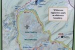
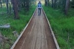
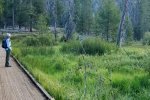
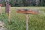
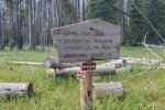
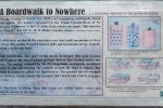
 From the parking lot, we proceeded in a southerly direction on a road seemed to be the direction to go. We proceeded off of the road onto Lakeshore Trail and onto a bridge. But … the bridge ended, overlooking a very swampy area. Near the end was a sign explaining the situation. (Click on the photo for a magnified view.)
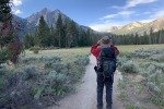
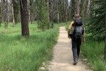
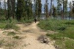
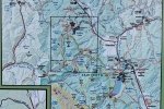
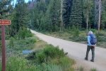
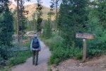
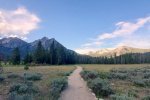
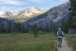
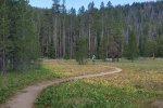
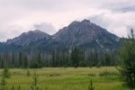
 We retraced our route, back to the parking lot and northwest on a forest road until finding -the- trailhead for Trail 640 (the GPS route from AllTrails begins here). The trail is well used, even perhaps groomed, as it passes through an open meadow then through a swampy area (with a boardwalk across an area of sometime muck). There are signs along the way for this and other trails that spin off of Lady Face Falls Trail. Ahead and to the left is McGown Peak (9,860 ft) and to the right a ridge (goes up to 8,000 ft) between which lies Stanley Creek. (This trail does continue beyond Lady Face Falls to Bridal Veil Falls, 3.6 miles.)
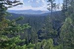
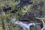
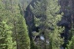
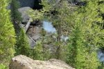
About 2.2 miles into the hike the trail enters a more forested area and begins to climb (up to this point the elevation gain has been minimal). For the next half mile, the trail climbs some 200 feet. The trail becomes less distinct, but working our way east towards the canyon that we could  make out, and the noise of falling water, we found the overlook to Lady Face Falls. The descent to the foot of the Falls was daunting, requiring one to climb down a steep incline over large rocks/boulders – we weren’t up to that this day.
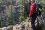
 From there we worked our way upstream along the rim of the canyon, finding a nice place to have our mid-hike break/lunch. It was then back down the trail until – we came to a junction, a well worn trail that branched off to the left.Curious, we followed it to a roadway from which it branched to the left, only to find we were looking at a swampy area. But ahead we could see the bridge mentioned above; with the help of some logs we were able to remain dry, crossing to the bridge and back to the truck.
Statistics
Total Distance: 5.58 miles
Elevation: start 6,529 ft, maximum 6,805 ft, minimum 6,517 ft
Gross gain: 288 ft. Aggregate ascending 805 ft, descending 806 ft
Maximum slope: 27% ascending, 24% descending, 4.0% average
Duration: 4:32
| GPS Track Files for Download | |
167 Downloads |
|
|---|---|
104 Downloads |
|
If you haven’t explored these hiking tracks with Google Earth, I urge you to try it. With the virtual 3-dimensional presentation, achieved by panning and tilting the view, you can get a much better idea of the hikes and terrain than you can get from the screenshot above. For some ideas, check out Using Google Earth Track Files.
Related Posts
Fourth of July Trail Hike – 06/29/2021
Fishhook Creek-Alpine Way Trails Hike – 06/28/2021
Lower Cedar Creek Falls Trail Hike – 06/26/2021
References and Resources
AllTrails: Lady Face Falls
Idaho Campground Review: Lady Face and Bridal Veil Falls hiking trip
Only In Your State: This Idaho Creek And Waterfall Will Be Your new Favorite Paradise
RV Life: Lady Face Falls: A Must-See On Your Next Trip To Central Idaho


