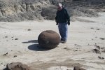
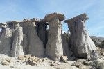
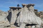
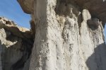
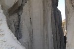
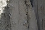
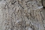
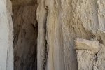
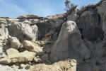
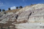
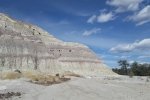
Vince and I went ‘wandering’ beyond Mesa de Cuba in the San Juan Badlands. This “expedition” (multiple hikes) began with exploration of the east side of Mesa Chijuilla. We then checked out another area with interesting features some 3 miles southwest of the first hike. As you will see in the photos below, we encountered some interesting geologic features: strange rocks, hoodoos, vertical erosion patterns, and more. [This is a retro-post (June 2018), an expedition with Vince back in 2015.]
The Hikes
Statistics
Hike #1
Total Distance: 1.90 miles
Elevation: start 7,091 ft,, maximum 7,205 ft, minimum 7,205
ft Gross gain: 114 ft, Aggregate ascending 341 ft, descending 343 ft
Maximum slope: 26% ascending, 29% descending, 6% average
Duration: 1:45
Hike #2
Total Distance: 1.12
Elevation: start 6,915 ft,, maximum 6,979 ft, minimum 6,915 ft
Gross gain: 64 ft, Aggregate ascending 308 ft, descending 308 ft
Maximum slope: 37% ascending, 30% descending, 8% average
Duration: 1:23
| GPS Track Files for Download | |
129 Downloads |
|
|---|---|
135 Downloads |
|
341 Downloads |
|
141 Downloads |
|
I urge you to explore our hiking tracks with Google Earth. With the virtual 3-dimensional presentation, achieved by panning and tilting the view, you can get a much better idea of the hikes and terrain than you can get from the 2-dimensional screenshot above. For assistance: Using Google Earth Track Files.
References
New Mexico Magazine: Badlands Walkabout
AllTrails: Mesa Chijuilla


