Headed back to Mesa Penistaja with Pat to take in more of the amazing scenery, geology, and of course the superabundance of petrified wood.
The Drive In
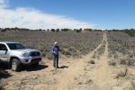
Chose to take a two-track off of the northbound road (Penistaja Road?) that would allow us to drive closer to the heart of the Mesa (see the DriveOut link below). ‘Tis an OK two-track for a high-clearance vehicle, when it is dry.
The Hike
Notes about the Google Earth screenshot: the graph at the bottom shows elevation of the track (pink area) and speed (the blue line).
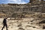
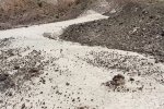
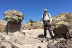
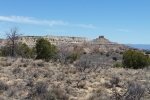
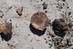
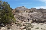
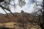
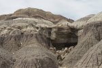
Finding an spot for easy crossing of the fence took us down the fenceline on a continuation of the two-track for a third of a mile – found a first wire that permitted a crawl through. Then an easy walk towards the destination – a circular gallery that looked quite interesting on GoogleEarth. As we entered the ravine (or canyon) going into the gallery we found ourselves proceeding quite slowly, attracted to look closely at the plethora of petrified wood, to take photos, to marvel at the variety of colors, shapes, and patterns, and to occasionally look up at the horizon which is itself fascinating.
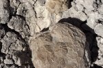
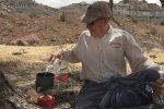
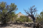
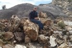
The two and one half hours spent in this gallery went by quickly. We found “woodchip piles”, sections of tree trunks, even a piece that we could only conclude was petrified with it’s bark still in place. Most had the striations typical of the grain in any wood. We found end pieces that showed clearly the growth rings. In some areas the pieces were very black; made us wonder if those pieces were on their way to becoming coal. It came time for our mid-hike coffee break – we found a perfect location under a ponderosa tree surrounded by pinon, juniper, and even oak trees/bushes. From there we made a direct line back to the truck (thanks to navigation by GPS) and found another spot in the fence to crawl under. We didn’t go a great distance, but more time than usual – a great outing.
Statistics
Total Distance: 2.20 miles
Elevation: start 7,012 ft, maximum 7,049 ft, minimum 6,980 ft
Gross gain: 69 ft. Aggregate ascending 281 ft, descending 271 ft
Maximum slope: 20% ascending, 23% descending, 4.1% average
Duration: 4:02
| GPS Track Files for Download | |
323 Downloads |
|
|---|---|
134 Downloads |
|
164 Downloads |
|
190 Downloads |
|
270 Downloads |
|
123 Downloads |
|
I urge you to explore our hiking tracks with Google Earth. With the virtual 3-dimensional presentation, achieved by panning and tilting the view, you can get a much better idea of the hikes and terrain than you can get from the 2-dimensional screenshot above. For assistance: Using Google Earth Track Files.
References
The American Southwest:
San Juan Basin Badlands
Map of the San Juan Basin Badlands Phototrek
New Mexico: Badlands Treasure Troves: Fossils and Petrified Wood
listofjohn: Map of the area centered on our Gallery
Jim Caffrey Images Photo Blog: The Other Badlands
Other references on the Journal Entry Mesa Penistaja – 04/07/2018









Hey I just found your site and I’m really enjoying it! A lot of places i am unfamiliar with, so thanks for the GPS files!
Good evening, Greg.
Thanks for the feedback, and I’m pleased that my posts may be giving you some ideas. I’ve enjoyed the hiking and reporting on them and I’ve hoped the GPS tracks would be useful.
I’m writing this reply from a campsite up on Mount Taylor – my wife and I have just returned from a hike to the summit .. we’re a bit weary now.
I would welcome any thoughts or comments you might share regarding my approach to this BLOG. Also any updates you might add to posts for the older hikes or trails. They would be appreciated by me and by others who visit the blog.
Again, thanks, and have some great hikes this summer.
George