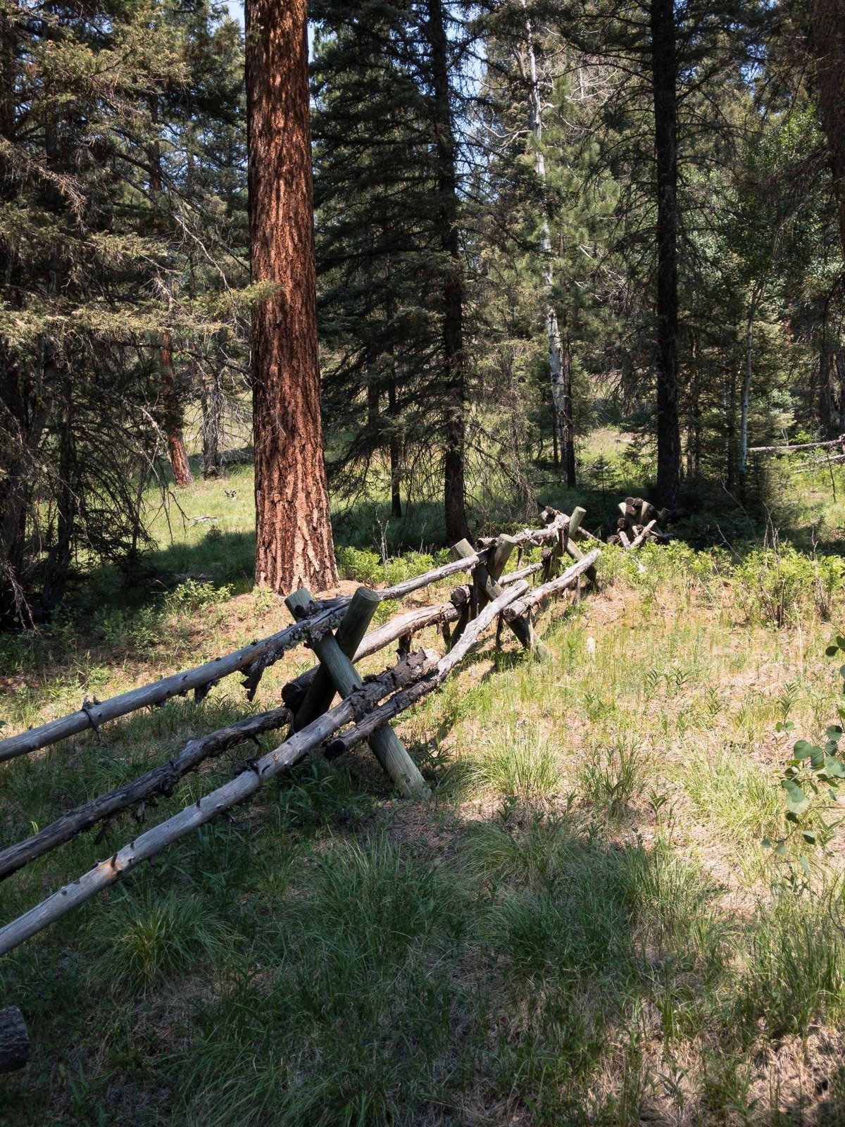
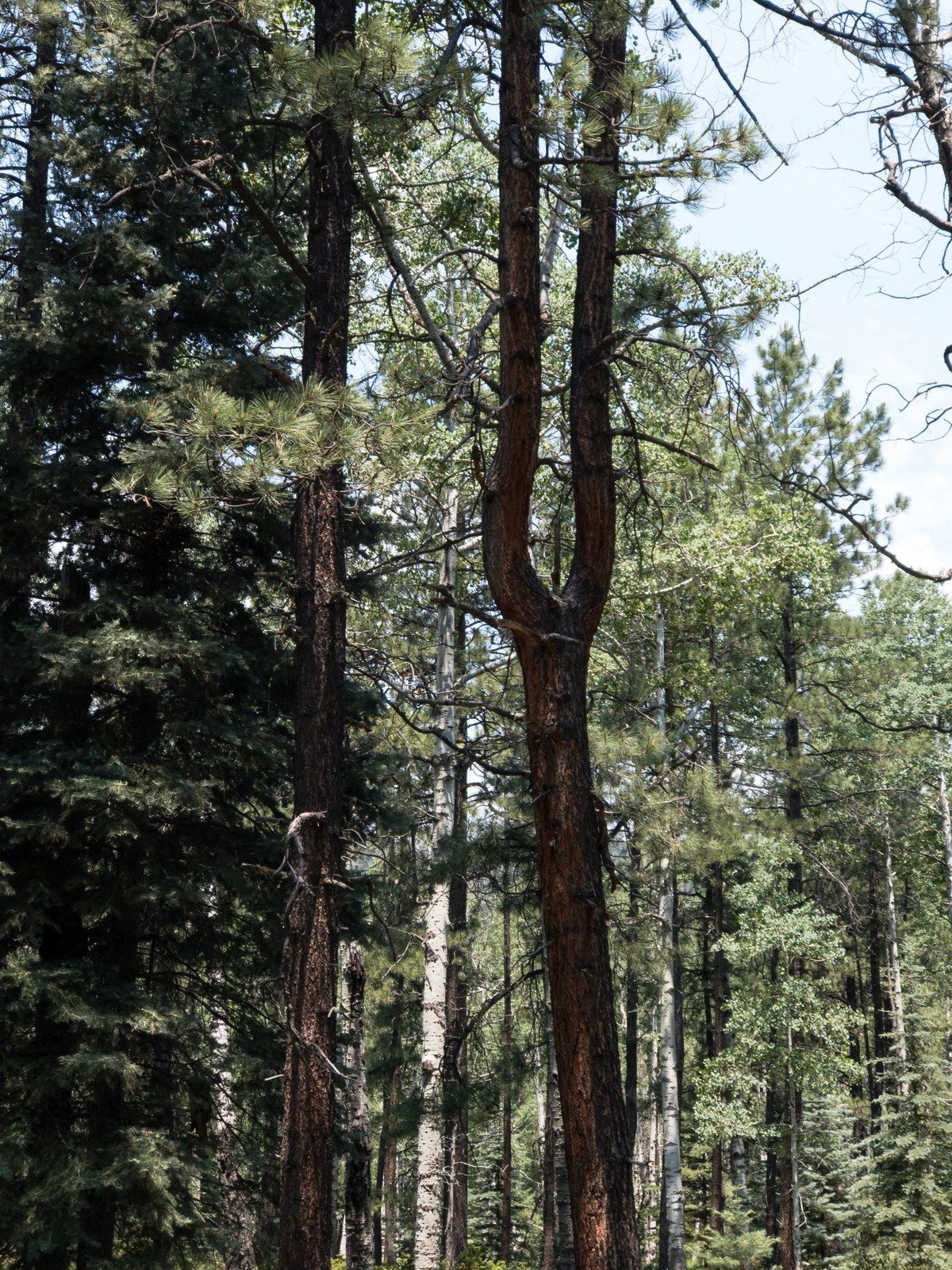
This is our second off-the-beaten-path hike, which I planned using GoogleEarth and topographic resources (such as Lists of John’s Interactive Map and the US Topo app on my Android tablet & phone). The goal here was to hike up Moon Canyon, then descend into the Rito Peñas Negras valley and return via the Bell Lawrence Canyon.
The Drive In
There appeared on the topo maps two routes to our selected trailhead, one from bottom of Moon Canyon from NM 126 northeast on FR 117, or one that crosses the ridge from NM 126 to FR 117 in the neighborhood of Jack Spring. Going in, we chose the latter – it is a bit rough, certainly requires a high clearance vehicle, but is passable when dry.
When leaving, we headed down FR 176 towards NM 126 – this is a -very- rough road (a challenge for my Tacoma), and ultimately was impassable because of a -huge- rock (bigger than the Tacoma) that had fallen onto the road/two-track where the road was too narrow to get around it. Thus, we turned around and headed back to the cross road and NM 126
The Hike
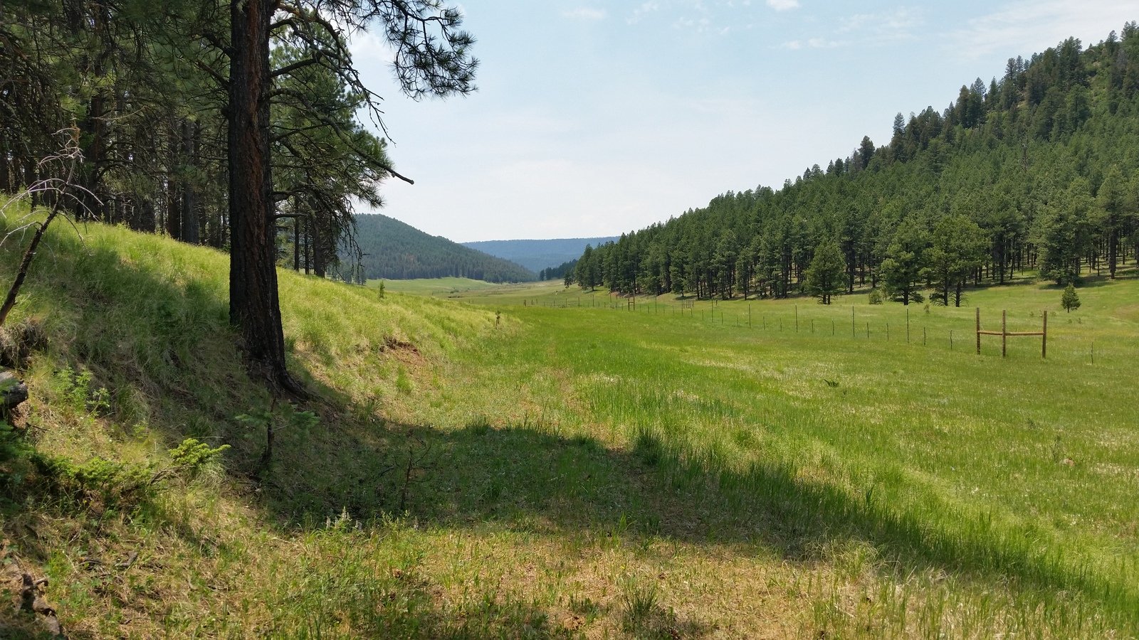
The hike began on FR 117, a two-track (it appears to be FR 117) that proceeds up the north (left) then south face of Moon Canyon and onto the ridge separating it from the Rito Peñas Negras valley. We were on the lookout for a reasonable descent into the Valley and chose to descend about 2.9 miles into the hike. The Rito Peñas Negras valley is wide and open, with a small stream flowing through its bottom fed by 2 or 3 springs (noted on the topo maps).
This is being used as pasture, and tho’ we’ve encountered cattle on other hikes, on this one it was a bull who seemed to be unhappy about our presence. So we kept our distance, staying among the trees along the edge of the valley. After eyeing each other while we had our mid-hike break, the bull finally decided he didn’t want to provoke us and headed down-valley – we didn’t see him again.
From there it was an easy hike, about 1.9 miles, to the entrance to Bell Lawrence Canyon, then up Bell Lawrence, up a steep ascent to the ridge-top, and down to parking.
Jay here: My recollection is that this was a relatively strenuous hike a lot of ups and downs and some bushwacking. Then there was the bull. While we made coffee this behemoth looked on and pawed the ground occasionally to let us know we were on his turf. It was necessary to cross a large meadow and we kept waiting for Ferdinand to come charging out of the woods and forcing us to dodge behind a tree, but he must have had a pressing appointment because we didn’t see him again.
Highlight
The Rito Peñas Negras (Black Rock Creek) is a very pleasant stream that runs the length of the canyon. We also found game trails that made some of our bushwacking a lot easier than the usual rough going.
Statistics
Total Distance: 6.67 miles
Elevation: start 8,545 ft, maximum 8,882 ft, minimum 8,181 ft
Gross gain: 701 ft, Aggregate ascending 1,737 ft, descending 1,738 ft
Maximum slope: 45% ascending, 43% descending, 9% average
Duration: 4:06
| GPS Track Files for Download | |
286 Downloads |
|
|---|---|
118 Downloads |
|
I urge you to explore our hiking tracks with Google Earth. With the virtual 3-dimensional presentation, achieved by panning and tilting the view, you can get a much better idea of the hikes and terrain than you can get from the 2-dimensional screenshot above. For assistance: Using Google Earth Track Files.
References
AroundGuides: Moon Canyon (great interactive map of area features)
USDA Forest Service: Riot Penas Negras Stream Inventory Report (pdf)


