This was a great hike, one we’ve wanted to do for a while. It is one of 3 trails, spurs off of Piedra Lisa.
The Drive In
We approached it from the south on the Piedra Lisa trail, then turned east (right) up the Fletcher canyon.
The Hike
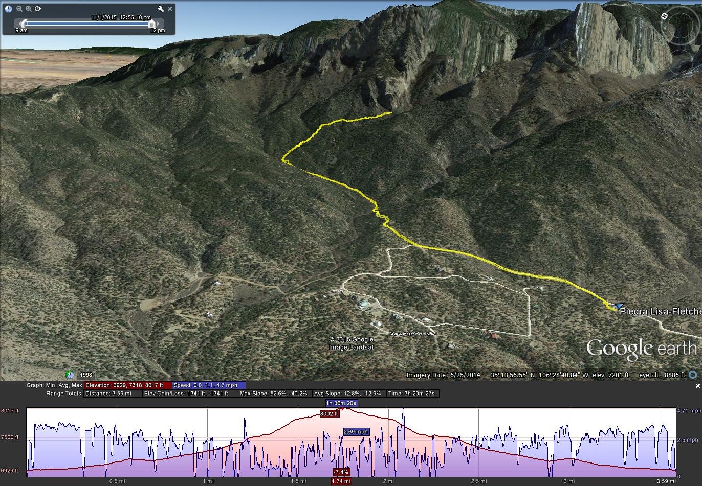
Piedra Lisa South-Fletcher Hike.Jay.2015-11-01
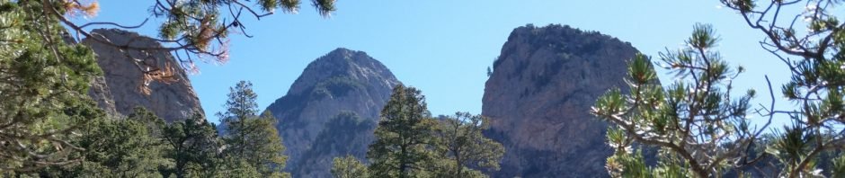
‘Tis a narrow canyon; we did not encounter any rockfalls that we had to climb over. We went as far as we could, until under the face of a large rock outcropping (about .6 mile), the canyon became too narrow for us to pass. Others might go further, but that was enough for us. None the less, this trail takes us into the heart of the canyons on the west side of the Sandia Mountains.
Statistics
Total Distance: 3.59 miles
Elevation: start 6,929 ft, maximum 8,017 ft, minimum 6.929 ft
Gross gain: 1,088 ft. Aggregate ascending 1,241 ft, descending 1,241 ft
Maximum slope: 53% ascending, 40% descending, 13% average
Duration: 3:20
| GPS Track Files for Download | |
194 Downloads | |
|---|---|
180 Downloads | |
If you haven’t explored these hiking tracks with Google Earth, I urge you to try it. With the virtual 3-dimensional presentation, achieved by panning and tilting the view, you can get a much better idea of the hikes and terrain than you can get from the screenshot above. For some ideas, check out Using Google Earth Track Files.
References and Resources
USDA Forest Service: Sandia Mountain Trails (pdf)
Sandia Mountain Hiking Guide: Fletcher Trail
SummitPost: Piedra Lisa Trail No. 135
60 Hikes within 60 Miles: Albuquerque: page 51
Albuquerque Hiking & Outdoor Meetup Group: Fletcher Trail & Waterfall Canyon


