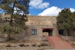
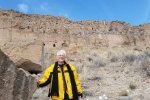
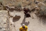
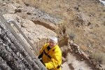
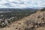
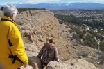
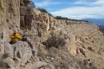
This was a day trip out of Albuquerque, with lunch in Santa Fe on the way to Puye. After checking in with the Welcome Center on NM 30, we were directed up to the Visitor’s Center below ruins site. Since there had been snow recently, we rode up to the top of the mesa with our guide in a 4-wheel drive vehicle.
The Hike
The ruins on top of the mesa are extensive, as one can see on Google Earth. The guide made the visit more interesting by relating some of the history of these ruins and the Pueblo people related to the site. We descended down the face of the cliff on ladders and a path, and visited some of the many caves carved into the pumice ejected from the Jemez volcano that forms the mesa. We found the visit to be worth the trip.
Statistics
Total Distance: 0.50 miles
Elevation: start 7,070 ft, maximum 7,070 ft, minimum 6,873ft
Gross gain: NAft. Aggregate ascending NA ft, descending 197 ft
Maximum slope: NA% ascending, 75% descending, 8% average
Duration: 0:45
The track shows only part of our tour. We got on top of the mesa with a tour bus. The track then records our tour of the mesa top and then back down to the visitor’s center.
| GPS Track Files for Download | |
146 Downloads |
|
|---|---|
126 Downloads |
|
I urge you to explore our hiking tracks with Google Earth. With the virtual 3-dimensional presentation, achieved by panning and tilting the view, you can get a much better idea of the hikes and terrain than you can get from the 2-dimensional screenshot above. For assistance: Using Google Earth Track Files.
References
Puye Cliff Site: Puye Cliff Dwellings
Hanksville.org: Puye Cliff Dwellings
New Mexico Nomad: Puye Cliff Dwellings
Legends of America:
Puye Cliff Dwllings – Ancestral Home of the Santa Clara Indians


