After such a great hike in Valles Caldera at the upper end of San Antonio Canyon (FR144, San Antonio Canyon, North), I sketched out another track to explore further north on this western edge of the Caldera.
The Drive In
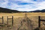
We proceeded further on FR 144, past where it makes a hard left turn to the west, then taking a two-track to the northeast up Road Canyon (4WD and high clearance, but otherwise straightforward) until encountering a fence. Parked here, crossed the fence into the Valles Caldera National Preserve.
The Hike
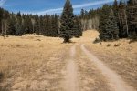
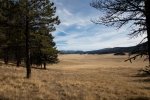
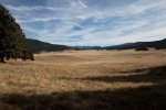
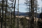
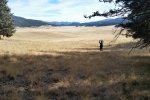
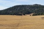
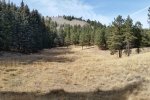
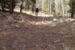
The first few hundred feet were challenging, with a great deal of downfall. We then found ourselves on a good two-track heading south. We were on the lookout for a descent into a small canyon that would take us into the Caldera; we chose a path down which wasn’t difficult, but next time we would enter this small canyon at it’s head. Once out in the open, as on the other hike the going was easy and the views across the Caldera stupendous.
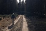
We followed a fence line heading northeast, on the lookout for the canyon that would take us back up on the ridge above the Caldera. Passing two inviting canyons, one of which had a serviceable two-track, we stuck to the planning sketch and went to the third canyon, the one with a spring (according to USGS Topo). This canyon also had a two-track, tho’ not “serviceable” in its present condition; ’twas a quite steep climb of some 450′; although the speed curve on the GoogleEarth profile shows that we weren’t going very fast, it was a really good workout.
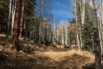
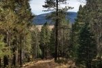
Once atop the ridge, we found the expected two-track, followed it until the sketch indicated we should go cross-country to return to our outbound track and the truck. The two-track was in excellent condition, showing a fair amount of recent traffic. With the aspen groves in this area, it may be a prime place to visit for fall colors next year, but some exploring will be required to find an entry point to this two-track.
Jay here: I believe on top of the ridge is where we just caught the ass-end of a group of elk. They leave droppings but have so far proven to be illusive. And another steep climb once out of the Caldera.
Statistics
Total Distance: 5.00 miles
Elevation: start 8,922 ft, maximum 9,076 ft, minimum 8,436 ft
Gross gain: 640 ft. Aggregate ascending 1,089 ft, descending 1,097 ft
Maximum slope: 33% ascending, 43% descending, 9% average
Duration: 3:12
| GPS Track Files for Download | |
267 Downloads |
|
|---|---|
147 Downloads |
|


