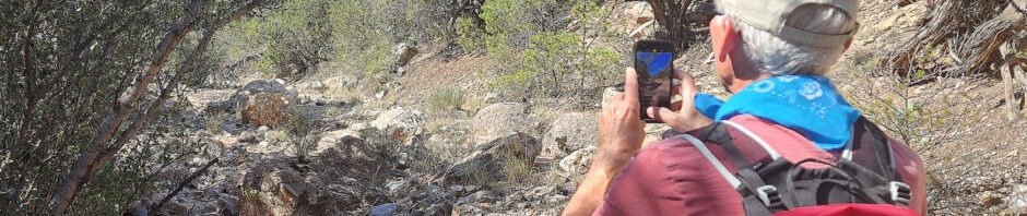
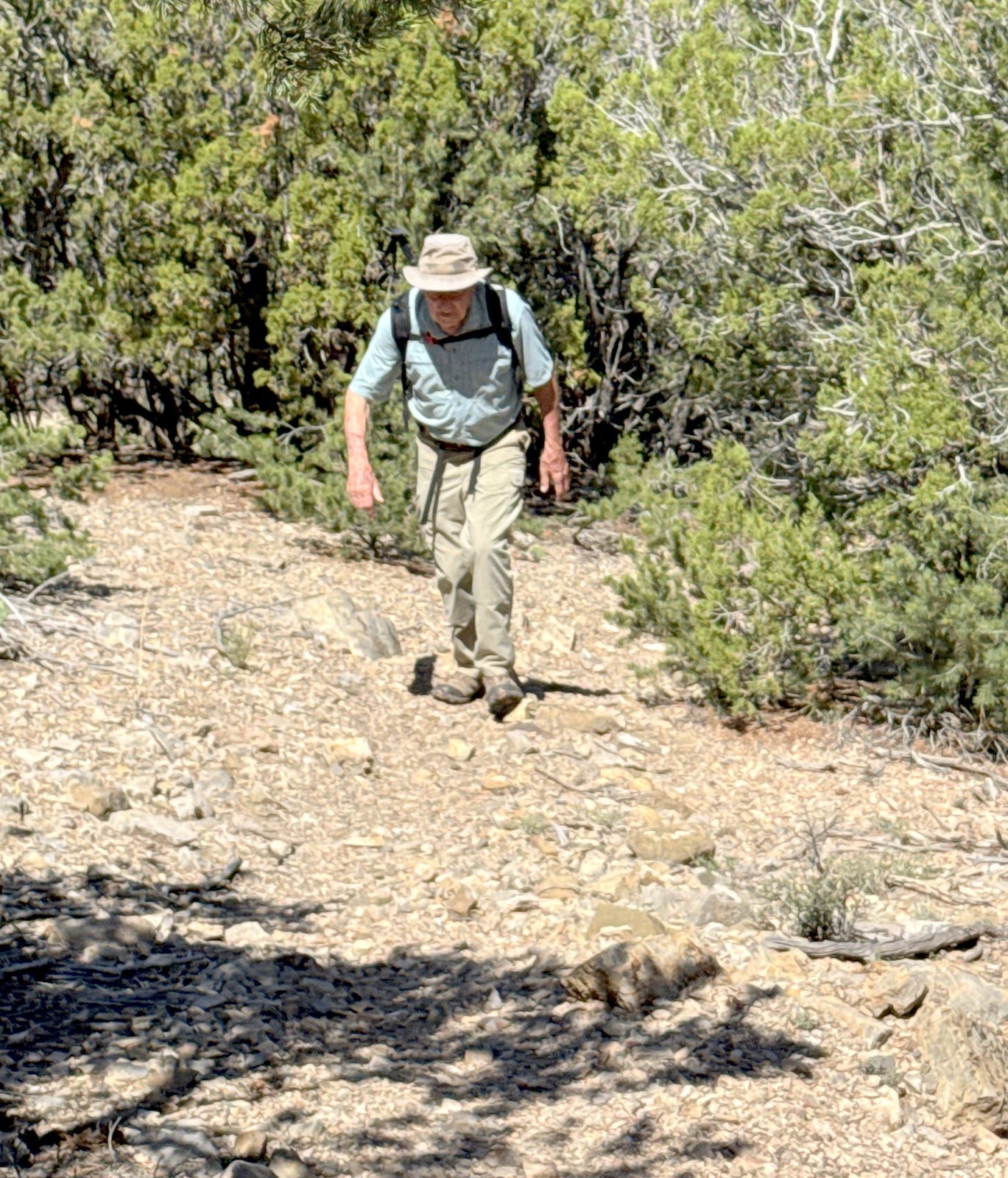
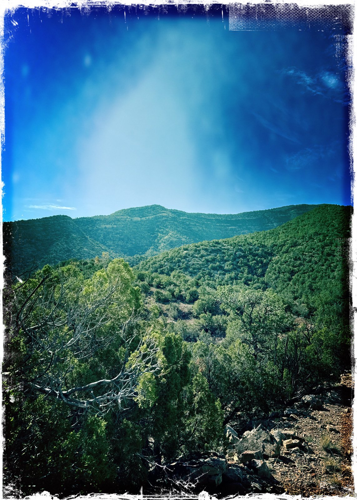
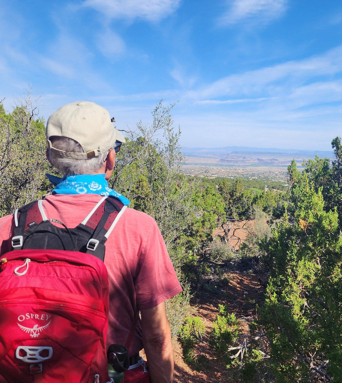
Jay and I are working up to our regular schedule of hiking, hiking regularly, and doing so where we started – trails around Placitas. We chose to return to a hike from 8 years ago (Sandy Bottom Hike – 12/10/2017).
The Drive In
We start this hike from the Agua Sarca Trailhead: Starting at the Cafe along NM 165 in Placitas, drive east for 2.7 miles, then turn right on Road 231 (Tunnel Springs Road). On the dirt road it is 1.3 miles to parking for the Agua Sarca Trailhead.
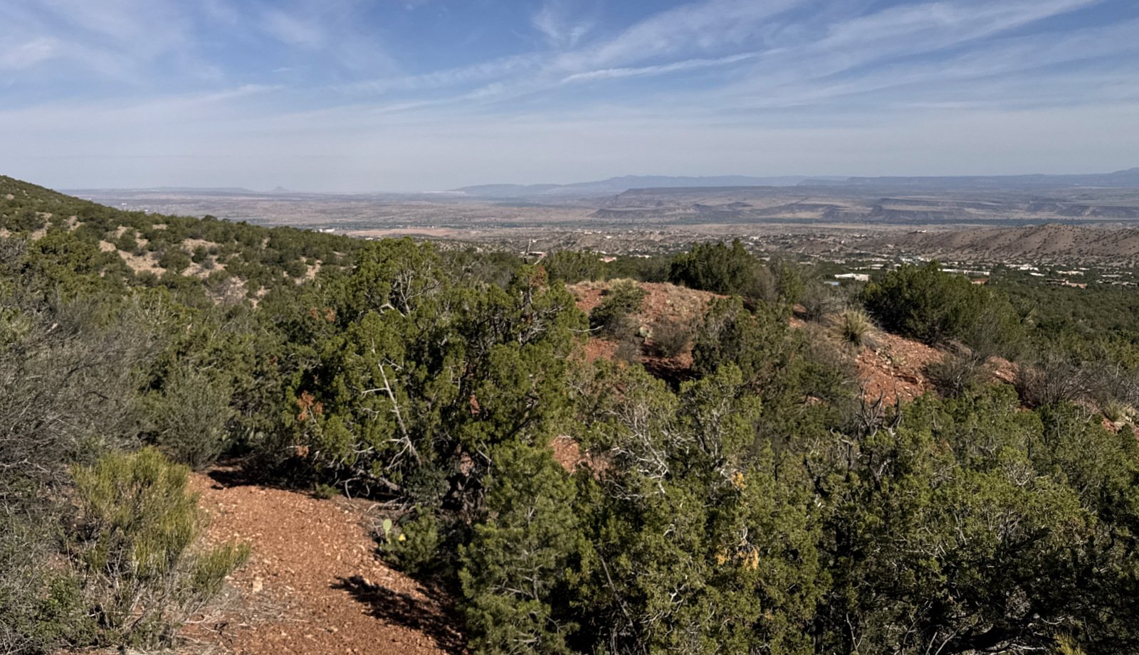
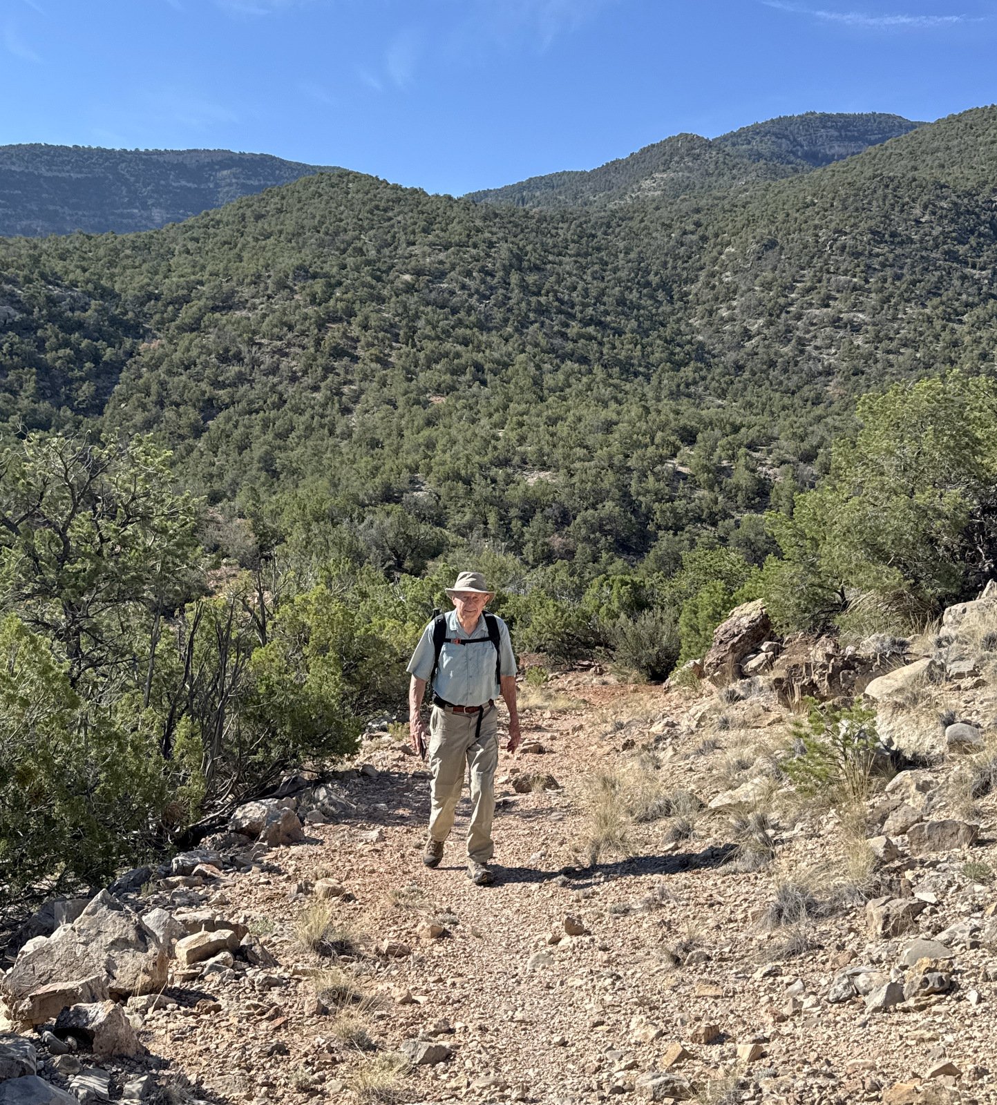
The Hike
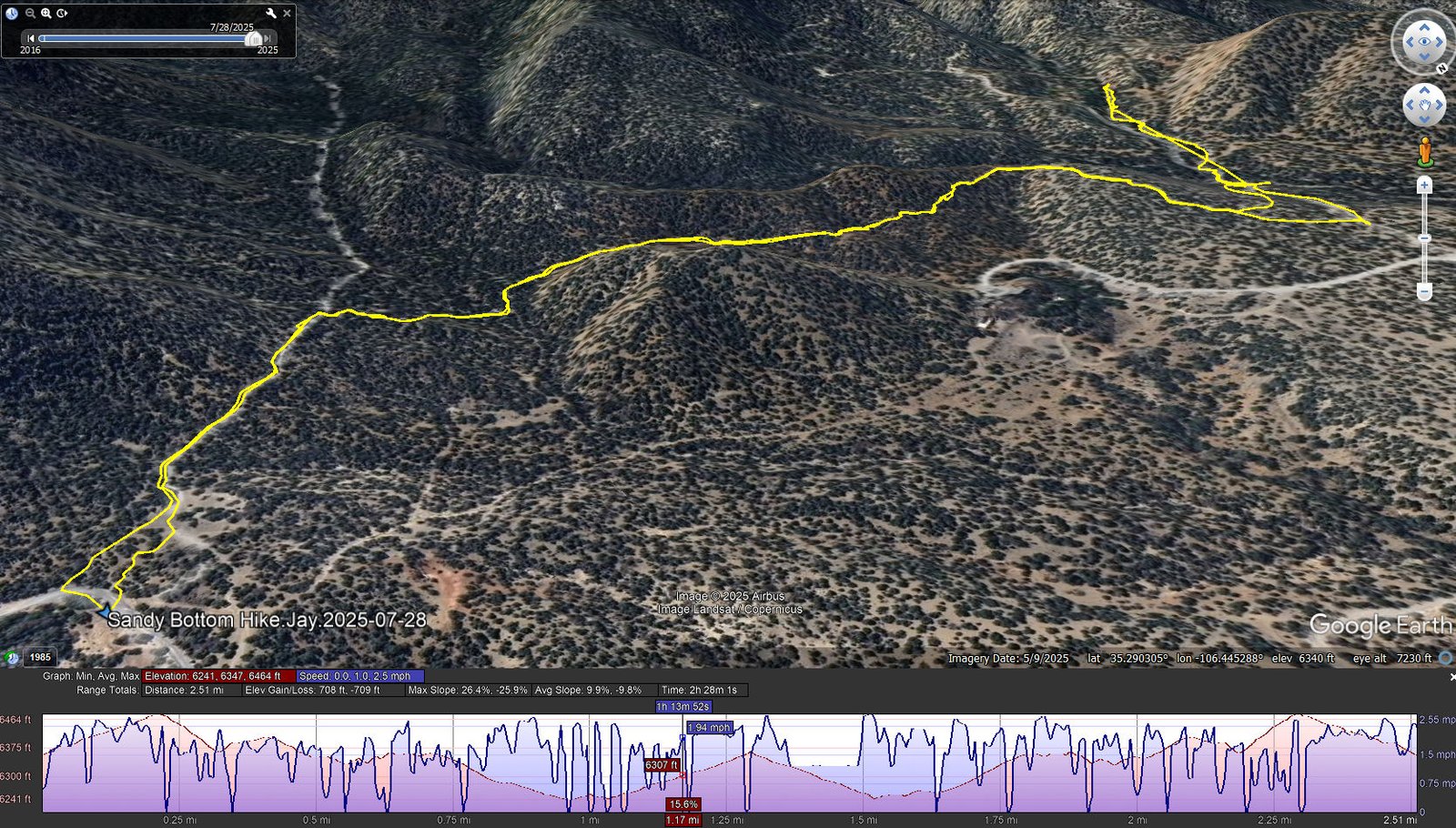
Sandy Bottom Hike.Jay.2025-07-28
Notes about the Google Earth screenshot: the graph at the bottom shows elevation of the track (pink area) and speed (the blue line).
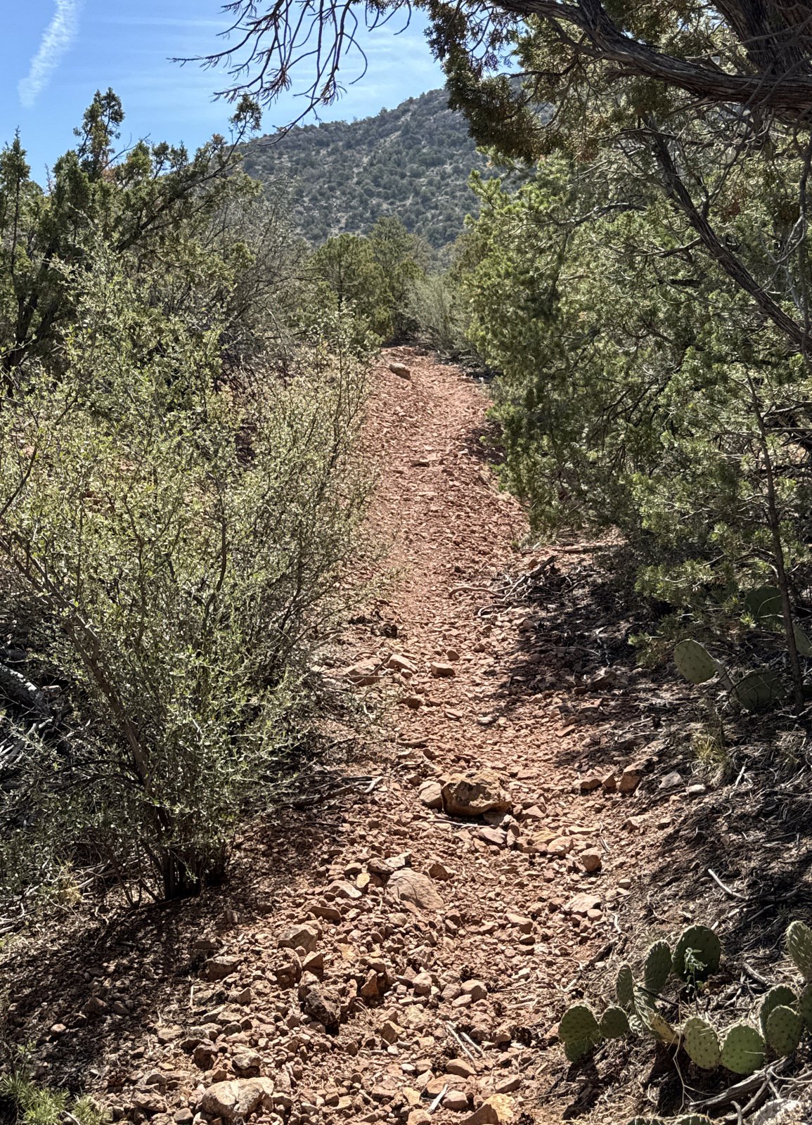
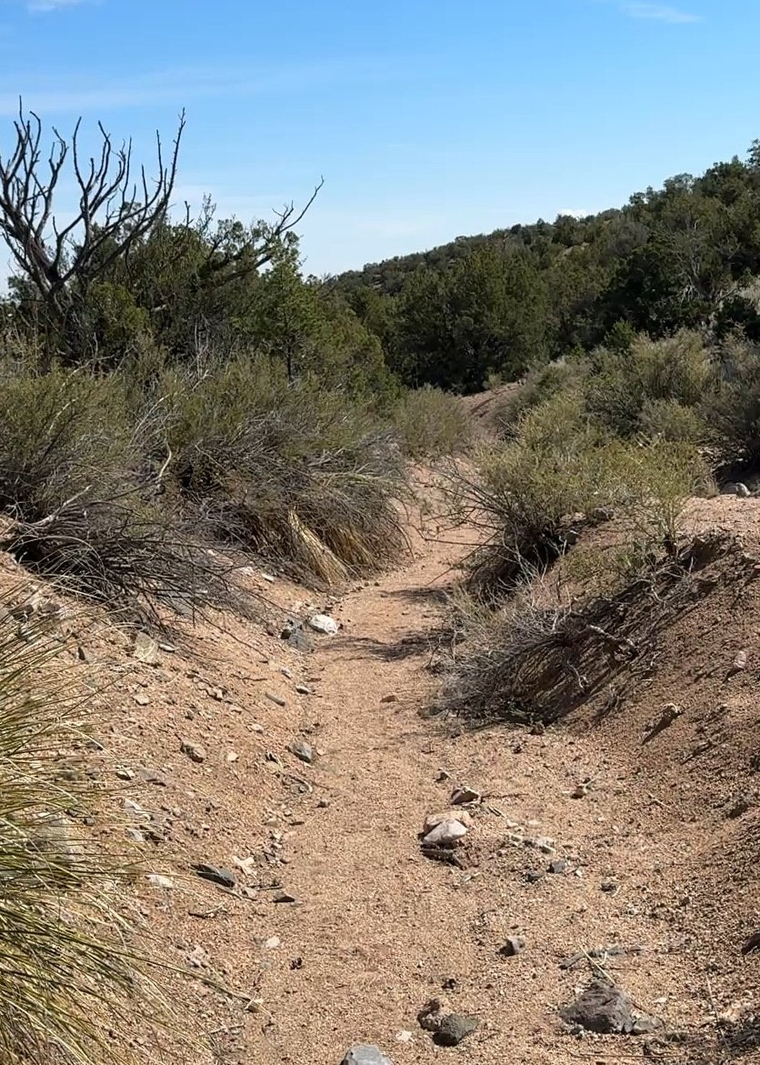
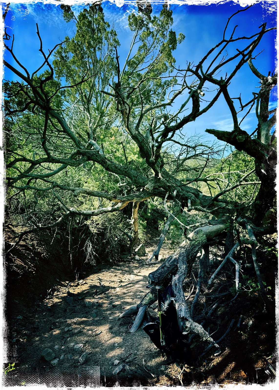
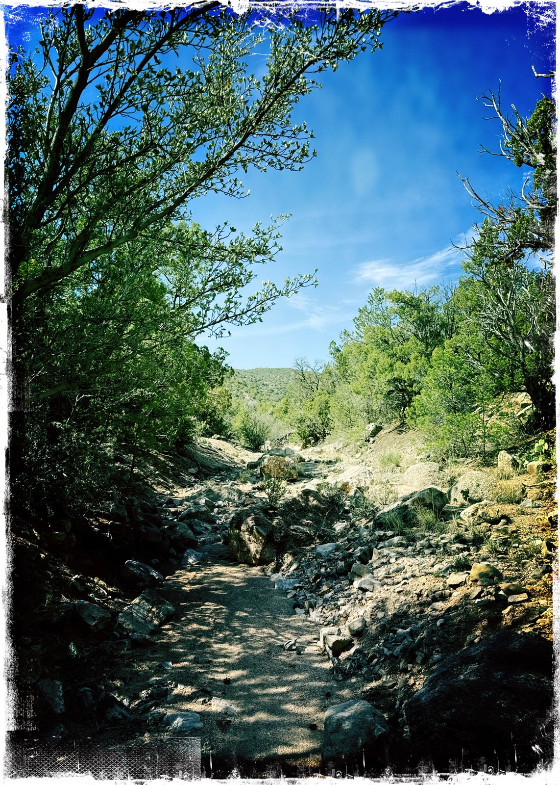
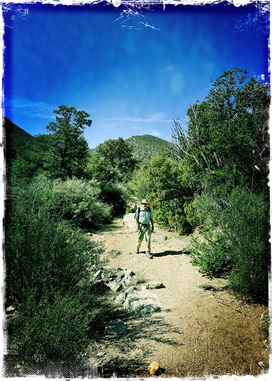
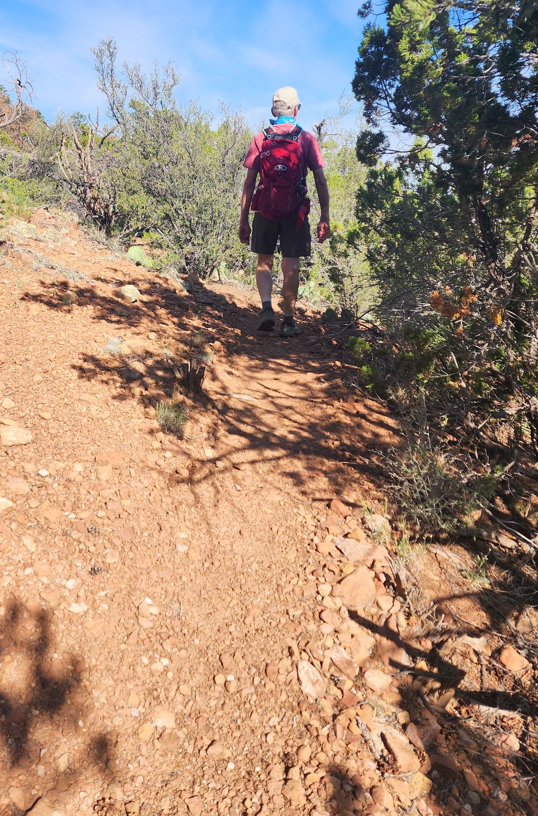
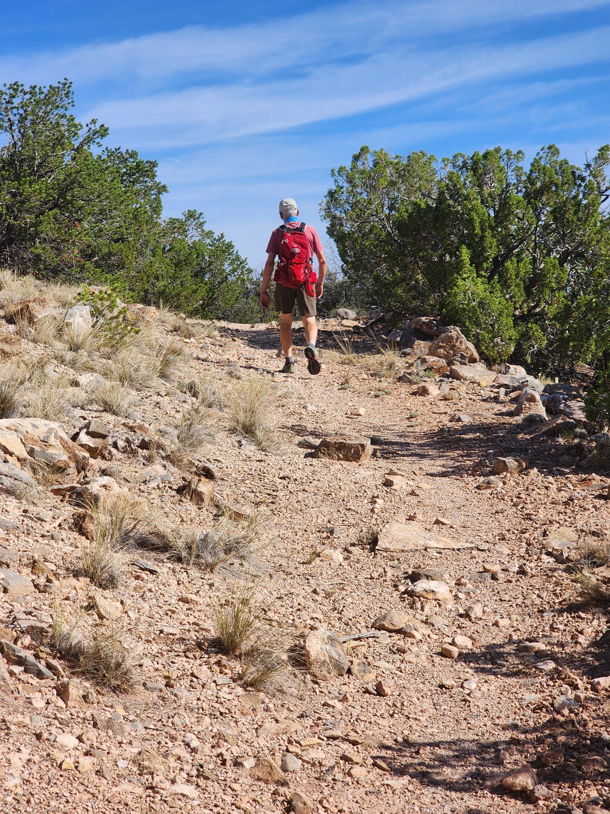
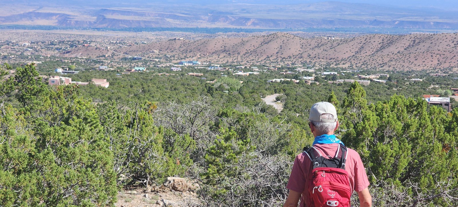
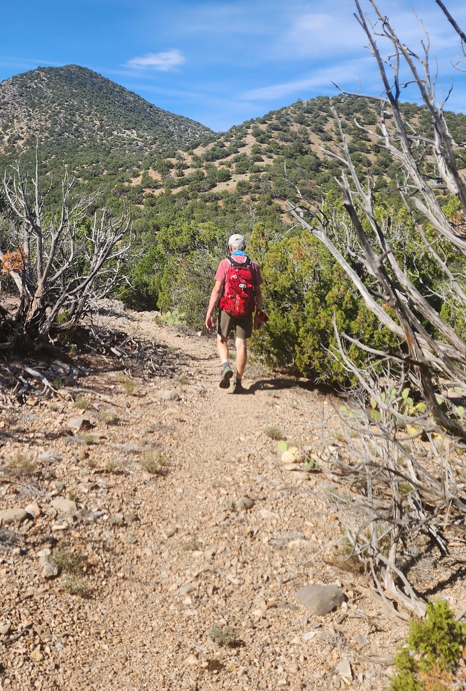
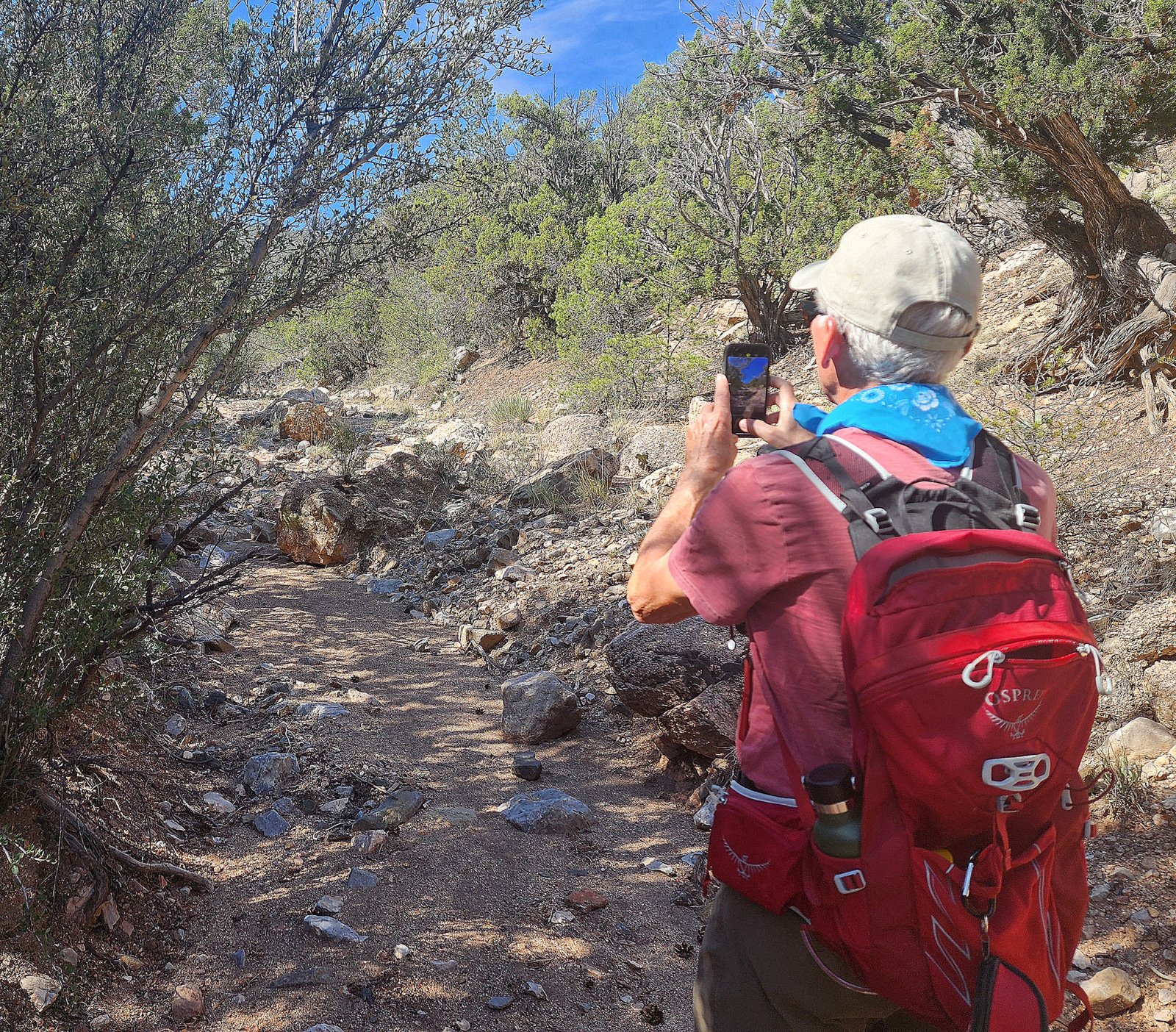
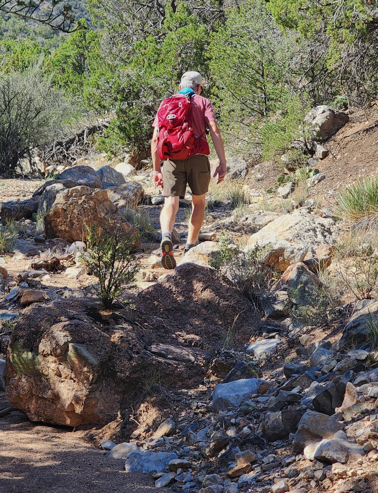
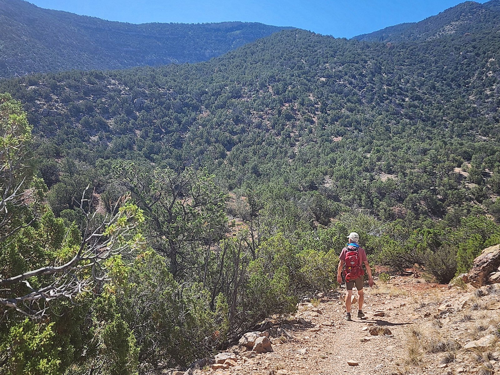
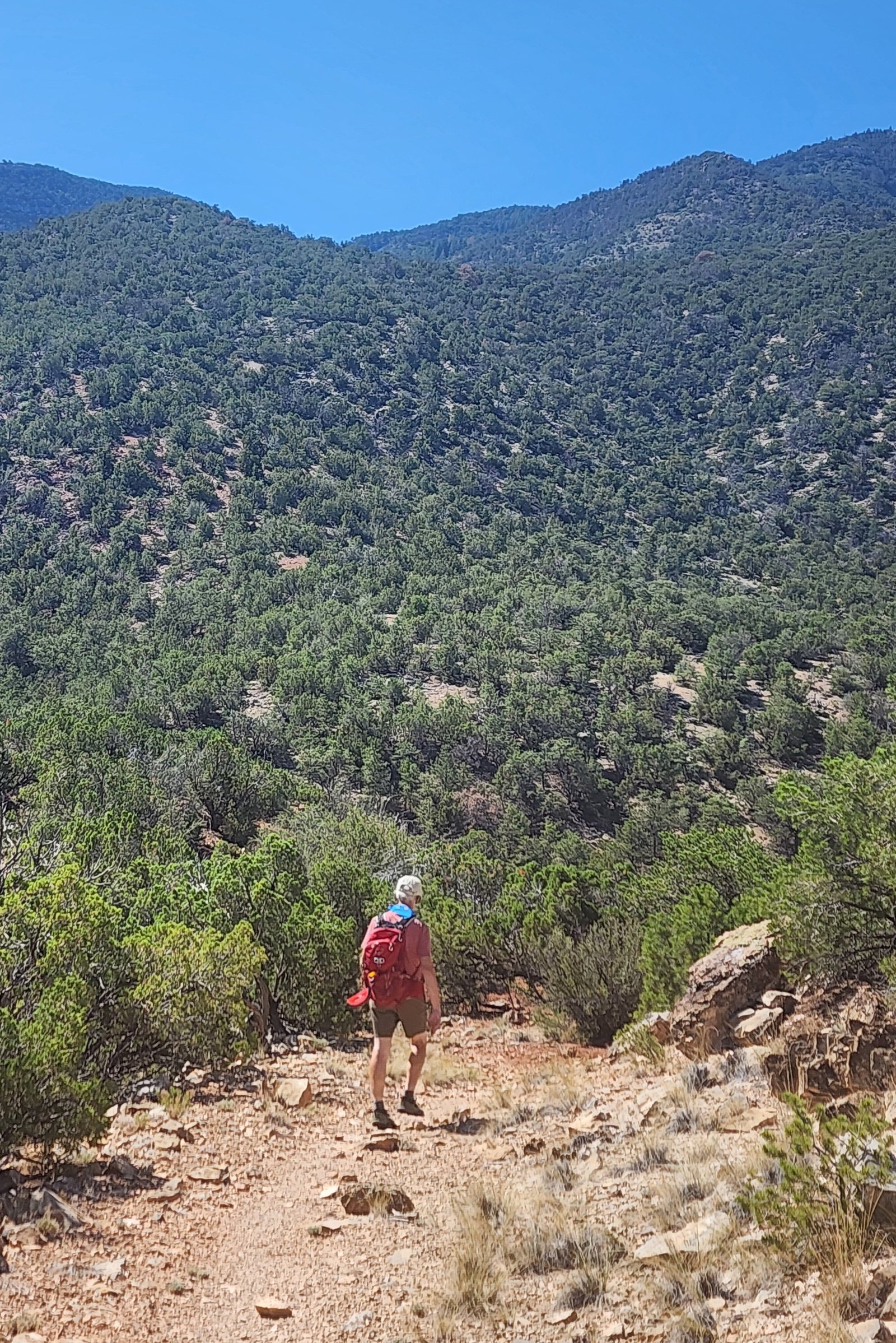
The hike begins by proceeding up the Agua Sarca trail for about 400 yards, then turn right – down a short steep slope onto the Sandy Bottom Trail (our name for the trail, GAIA has it marked as La Puerta to Agua Sarca Connector). The Connector appears to be an old two-track, easy to follow even as it goes down into ravines and back up again. And about .9 mile it -does- connect with the La Puerta Trail. We continued up La Puerta for .3 mile, then turned back and follow the outbound track back to parking.
Statistics
Total Distance: 2.5 miles
Elevation: start 6,358 ft, maximum 6,464 ft, minimum 6,241 ft
Gross gain: 223 ft. Aggregate ascending 708 ft, descending 709 ft
Maximum slope: 26% ascending, 26% descending, 9.9% average
Duration: 2:28, Average Speed: 1.0 mph
| GPS Track Files for Download | |
133 Downloads | |
|---|---|
118 Downloads | |
| Link to GAIA GPS: “Sandy Bottom Hike” | |
| If you haven’t explored these hiking tracks with Google Earth, give it a try. With the virtual 3-dimensional presentation, achieved by panning and tilting the view, you can get good idea of the hike and the terrain. For some ideas, check out Using Google Earth Track Files. | |
Related Posts
Sandy Bottom Canyon Hike – 12/10/2017
Nearby Hikes
Photos
Views to date: 5 views.