We went looking for a somewhat easy hike for this day, since we’ve had a few weeks away from the trails. And something near Santa Fe. I was familiar with Diablo Canyon from a hike down the Canyon with Pat a bit over a year ago. I found references to this hike, Soda Springs (see References below) – it appeared to fit our goals.
The Drive In
The hike begins at the Diablo Canyon Trailhead, about 3 miles beyond the Diablo Canyon Recreation Area. It is a long drive from NM 599, about five mile on pavement, then some 8 miles on a well maintained and used gravel road. From the interchange on US 84 to NM 599, drive 3.5 miles south on 599 to the exit for Camino la Tierra, (exit 282). After about 4 miles (on pavement), turn right onto Old Buckman Road (a dirt road). These may also be marked as Sandoval County Road 77. Some 7.5 miles on, pass the Recreation Area; continue another 2.5 miles to the Trailhead.
The Hike
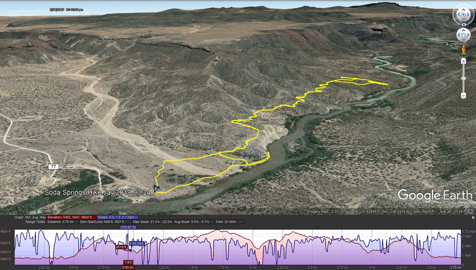
Soda Springs Hike.Jay.2019-03-24
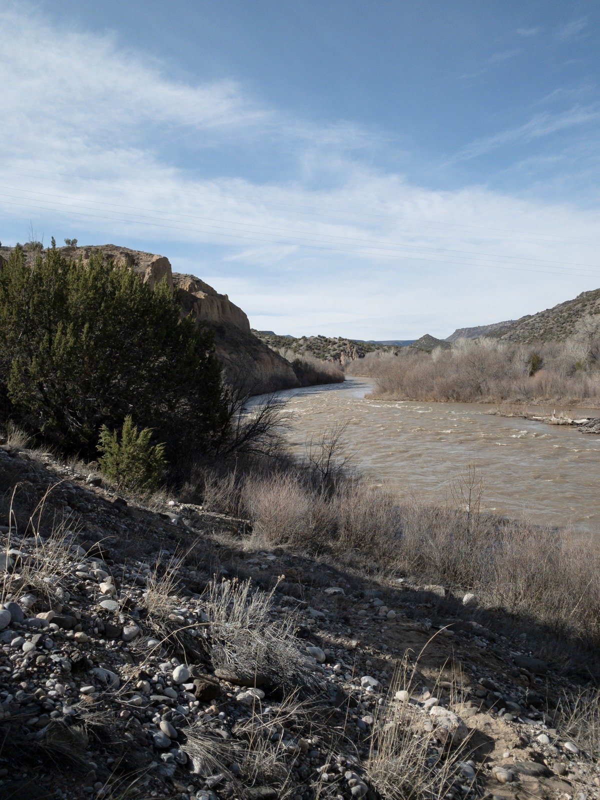
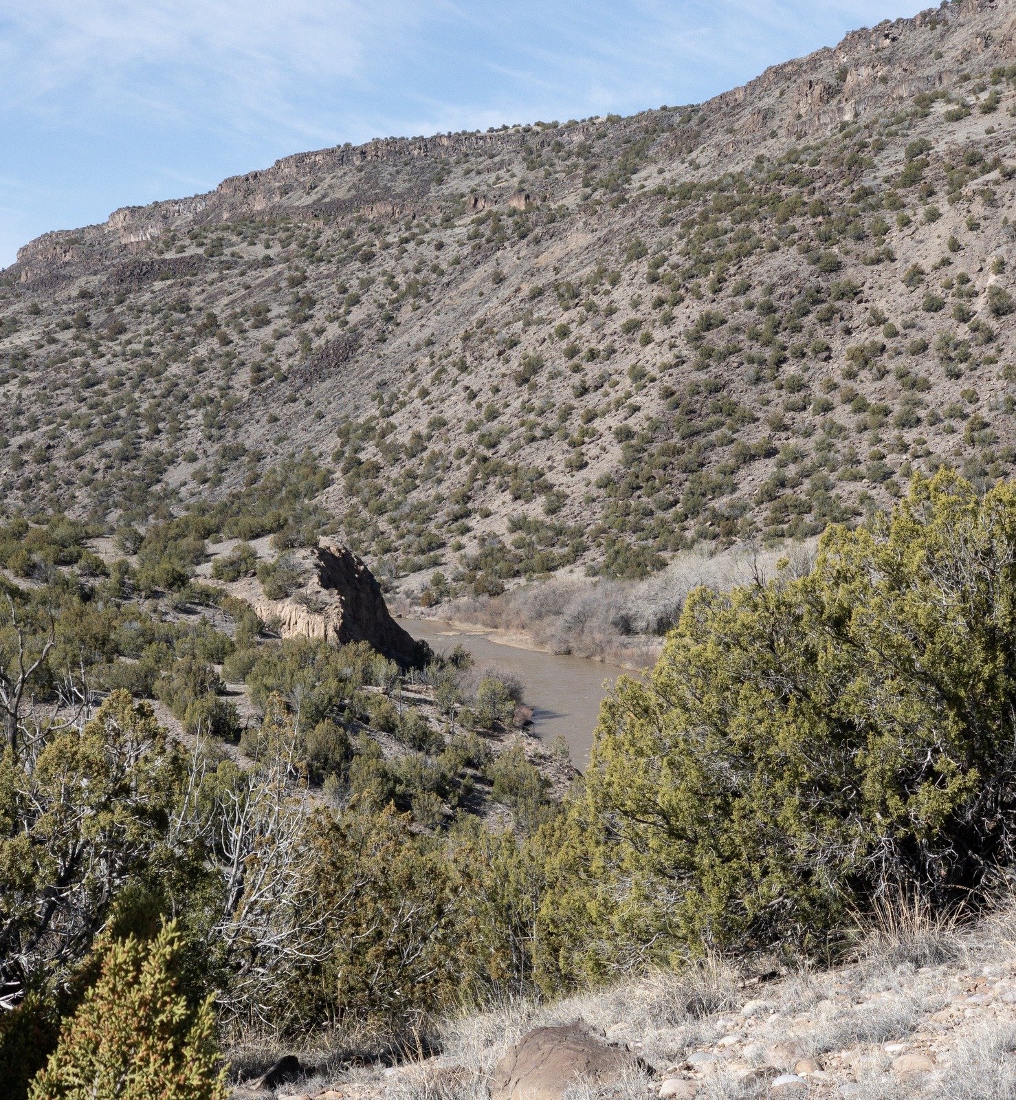
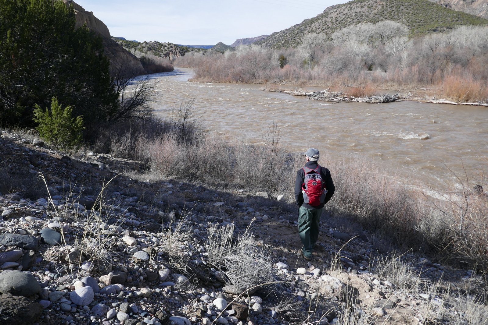
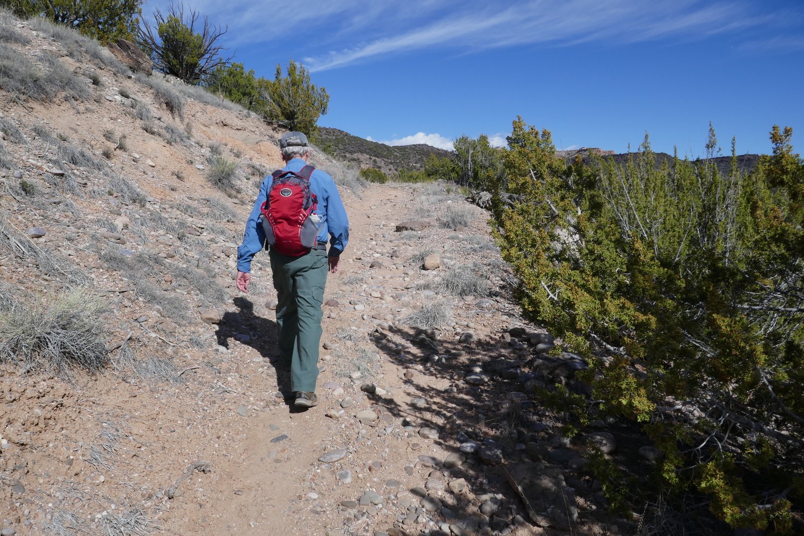
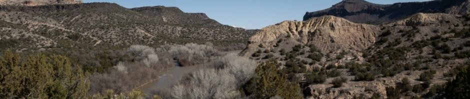
The trail begins where Diablo Canyon ends at the eastern bank of the Rio Grande. We first attempted to proceed along the edge of the river, but the vertical cliffs come right down to the water – to go that route would require wading (at least on this day as the Rio was running higher than normal due to the snowmelt coming down from the mountains and being released from the upstream reservoirs).
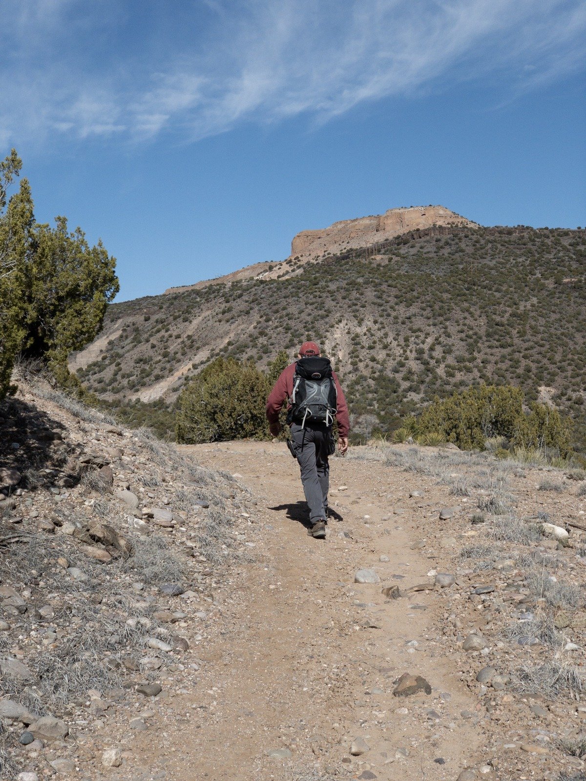
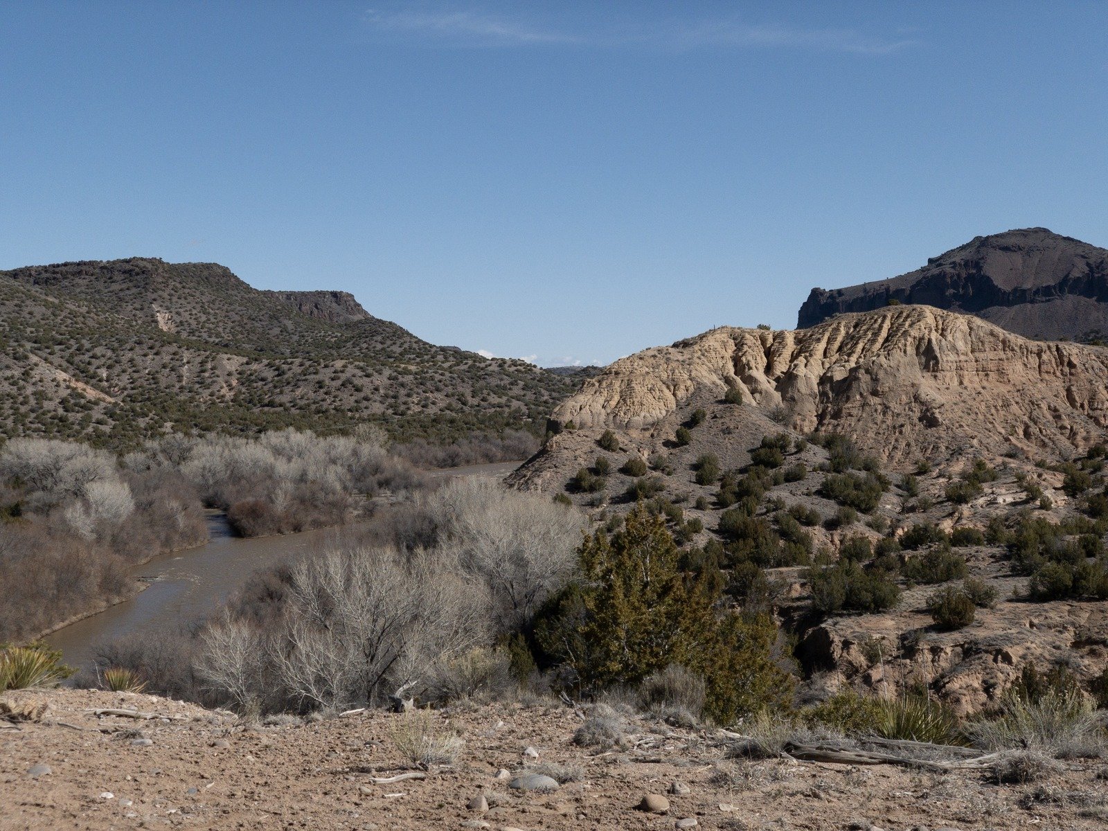
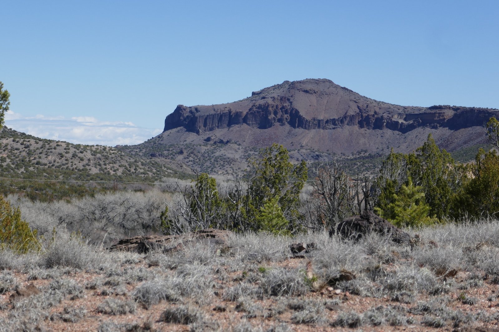
So, retracing our route for a few hundred yards, we picked up the Forest Service trail markers and pressed ahead on an old two track, weaving around the terrain with some ups-and-downs but easy going. We were shooting for two miles out and hoped that we would be able to descend to the river, based on the Hiking Project track (or sketch?), for our mid-hike break. No such luck, so we found a flat open area offering nice views up, down and across the river, had our coffee etc., and headed back to parking. It felt good to be back on the trail, enjoying New Mexico’s amazing scenery and weather.
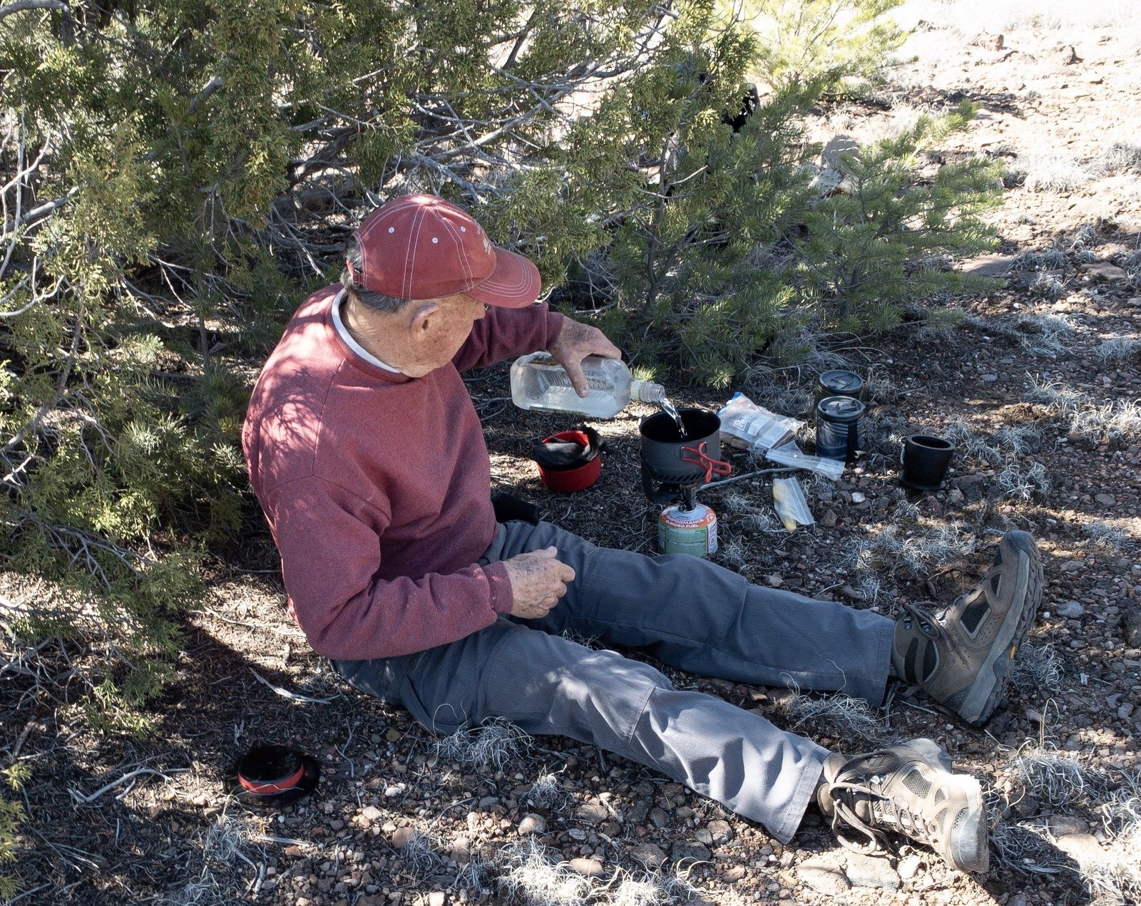
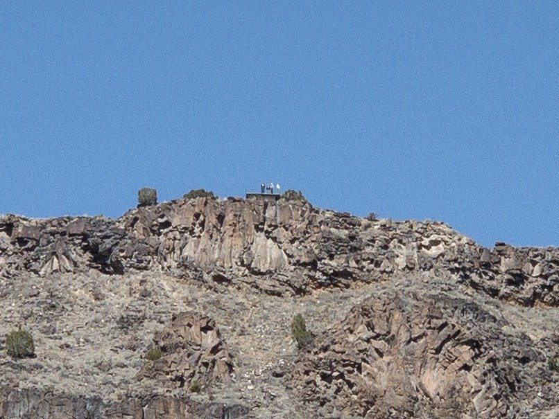
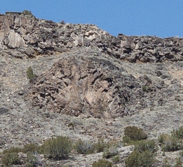
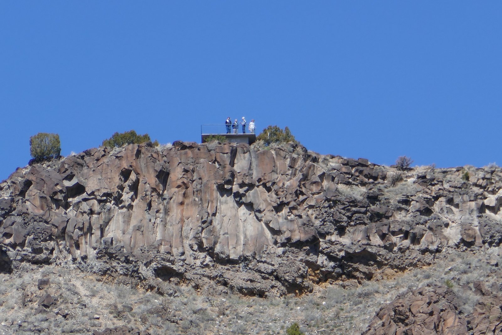
Jay here: Been a while since I’ve been on the trail. Strained ankle tendon and ligament had me in physical therapy for a few months, so it was great to be hiking again. Rio Grande was about as high as it’s going to get thanks to good rains and a large snow pack. I clocked that dirt road in at closer to 10 miles but the scenery is worth it. It was amazing to realize that during our coffee break we were looking at folks over in White Rock, standing on a viewing platform where they could see up and down the Rio Grande valley. And look at us drinking coffee!
Statistics
Total Distance: 3.75 miles
Elevation: start 5,467 ft, maximum 5,624 ft, minimum 5,462 ft
Gross gain: 162 ft. Aggregate ascending 658 ft, descending 657 ft
Maximum slope: 21% ascending, 23% descending, 5.5% average
Duration: 2:50
| GPS Track Files for Download | 241 Downloads | |
|---|---|---|
| GPS Track Files for Download | 175 Downloads |
I urge you to explore our hiking tracks with Google Earth. With the virtual 3-dimensional presentation, achieved by panning and tilting the view, you can get a much better idea of the hikes and terrain than you can get from the 2-dimensional screenshot above. For assistance: Using Google Earth Track Files.
References
USDA Forest Service: Soda Springs Trail #306
Santa Fe Outdoors: Soda Springs Loop Trip
Hiking Project: Soda Springs Trail