During a two-night camping trip in Jemez Falls Campground, Jay and I headed into Valles Caldera for a mid-distance hike. Pat and Nancy (with Bo) remained at the campground, “chilling out”.
The Drive In
From the Campground, head east on NM 4 to the entrance to Valles Caldera National Preserve, then down into Valle Grande to the Entrance Station (the Visitor Center has been moved to the Cabin District). We had read that a daily limit of the number of visitors allowed into the Back Country was being implemented. Visitors are premitted to continue beyond the Entrance Station to visit the Cabin District, but cannot go further into the Caldera.
On our visit, we learned that … reservations are now required to obtain one of the limited number of daily passes. Reservations are made via Recreation.gov, just has has been the case for campgrounds in recent. Fortunately, Internet service is good in the Caldera; for those who don’t have a “device”, a computer is available in the Visitor Center. It appears Backcouintry Vehicle Passes can be reserved for the day of visit or dates into the future. There is presently no charge for private vehicles, although there is a $2.00 “Reservation Fee” for each pass.
The Hike
We’ve hiked this route before – check out the links in Related Posts below.
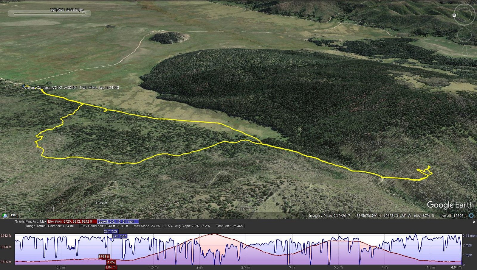
Valles Caldera-VC02-VC0201 Trail Hike.Jay.2023-05-24
Notes about the Google Earth screenshot: the graph at the bottom shows elevation of the track (pink area) and speed (the blue line).
 We
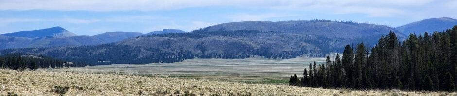
We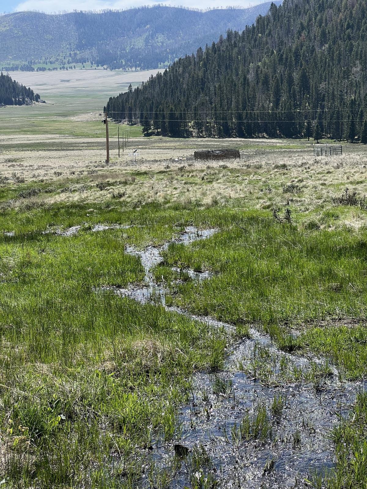 chose to limit our drive into the Caldera by hiking in the “front country” (it is a long drive into the “back country”). We started out thinking we would hike from the Cabin District to El Cajete, a “recent” crater that created a most pleasant open meadow. Parking on the south end of the Cabin District, we headed off down, VC-01 – a two-track – easy walking, lush grasses, and a great view across the Valle. Along the way we crossed 3 or 4 streams coming down from the mountainside to the west – a real treat here in New Mexico.
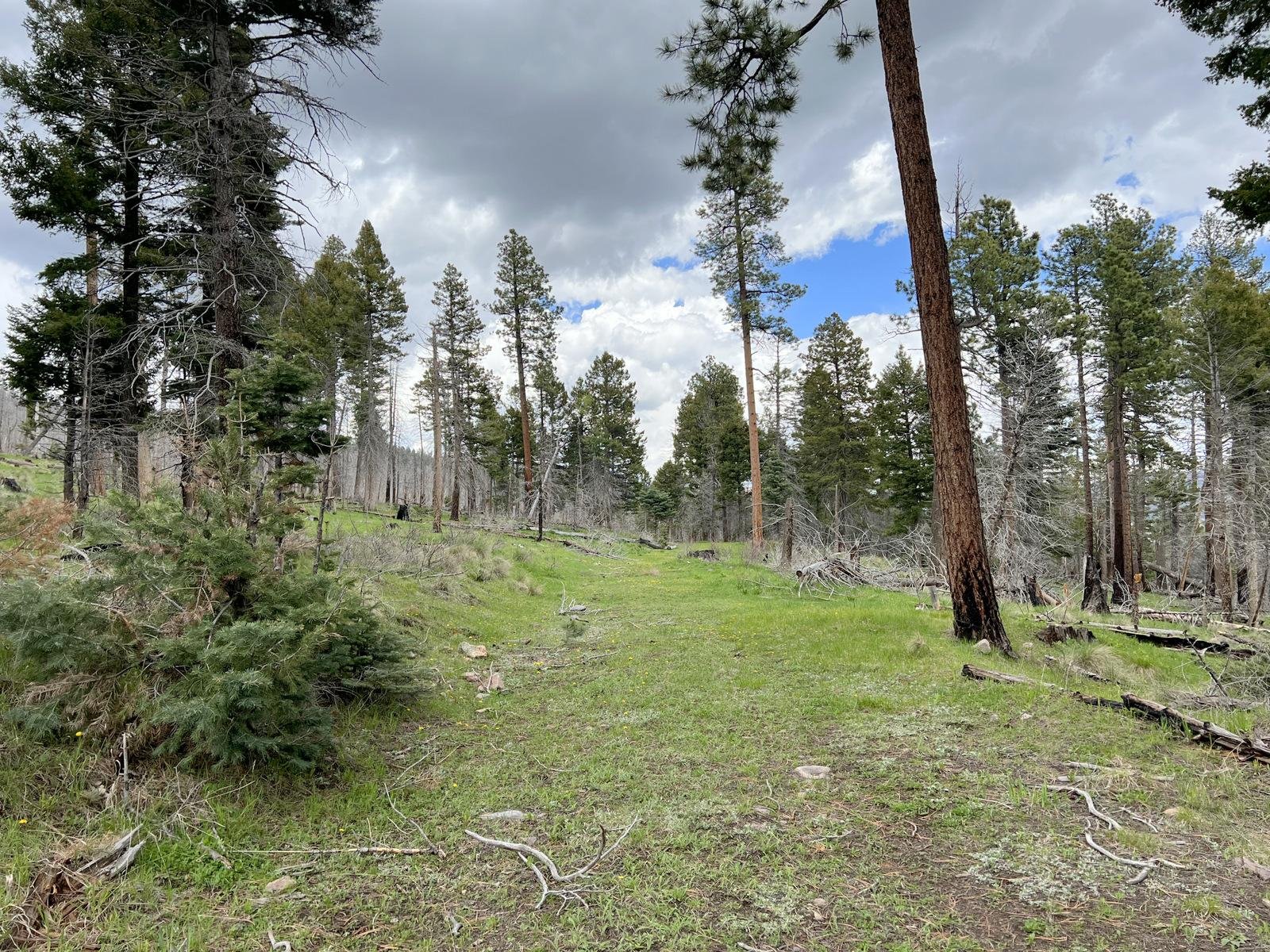
About 1.25 miles on, we began a climb,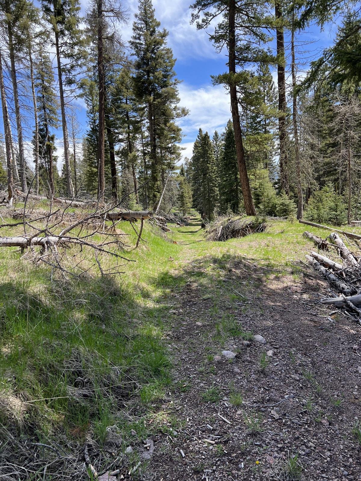 passing the cutoff for the trail to the top of South Mountain, continuing on the two-track. We continued up the two-track, climbing to the top of the ridge where we could see ahead/down hill towards El Cajete. We decided we weren’t up for that long a hike (for me particularly since Pat & I planned two days later to drive to Grants and hike to the top of Mount Taylor: 2,000 feet elevation gain, to the top at 11,003). So Jay and I continued on an old two-track to the left, to a bit higher elevation and saddle from which we enjoyed more of a view to the south and east.
 Heading downhill, we decided to hang a left and return via VC0201, a two-track that paralleled VC02 at higher up on the mountainside. Misreading the topo lines for VC0201 running parallel, we found the trail ascended more than anticipated. But we avoided some of the rocky trail of VC-02. We also anticipated that we would need to
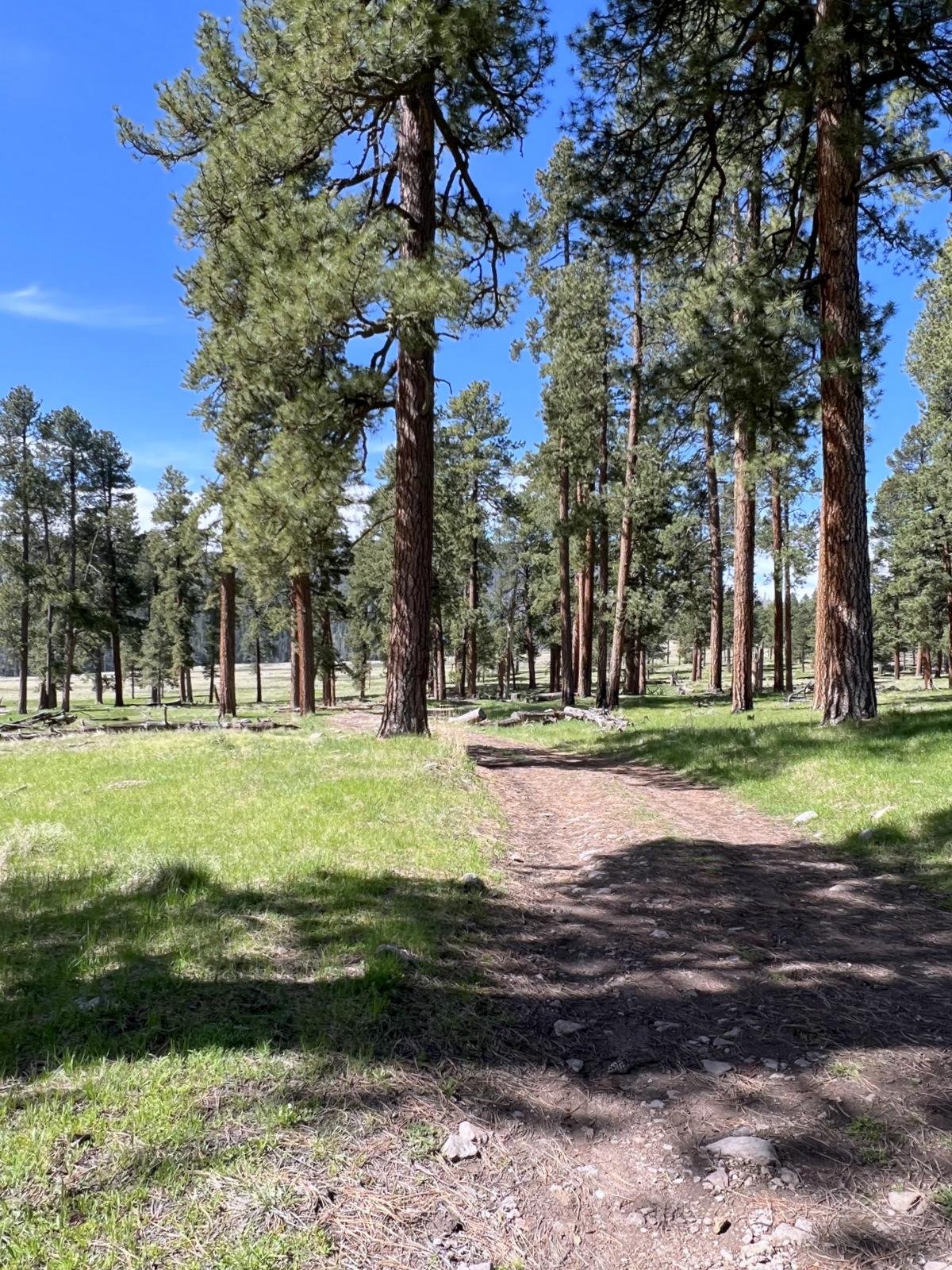
 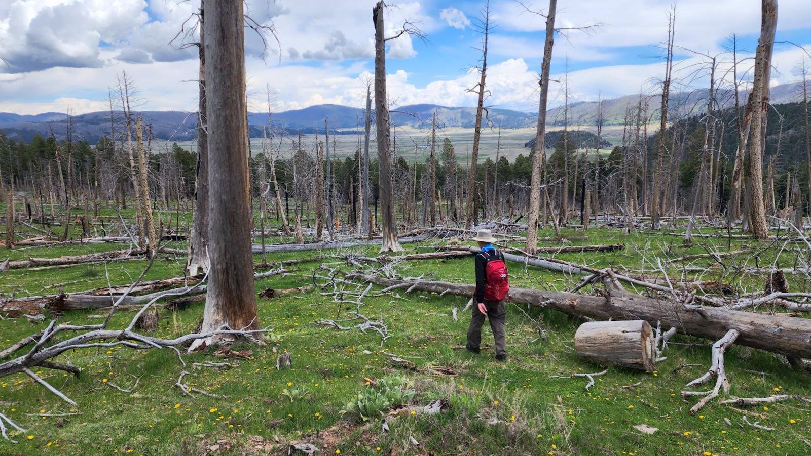 bushwhack downhill to VC-02 at some point to return to parking. We entered into an old burn area with many fallen trunks, but saw a path with fewer trunks to climb over. So we headed downhill, entered again into an area of open forest, and VC-02. >>>> A good hike.
Statistics
Total Distance: 4.84 miles
Elevation: start 8,748 ft, maximum 9,242 ft, minimum 8,725 ft
Gross gain: 517 ft. Aggregate ascending 1,043 ft, descending 1,043 ft
Maximum slope: 23% ascending, 22% descending, 7.2% average
Duration: 3:11
| GPS Track Files for Download | |
186 Downloads | |
|---|---|
244 Downloads | |
If you haven’t explored these hiking tracks with Google Earth, I urge you to try it. With the virtual 3-dimensional presentation, achieved by panning and tilting the view, you can get a much better idea of the hikes and terrain than you can get from the screenshot above. For some ideas, check out Using Google Earth Track Files.
Related Posts
El Cajete Through Hike – 10/21/2021
VCc02-VC0201 Trail Hike – 08/31/2021
VC02 South Mountain Hike – 05/27/2019
References and Resources (** – recommended)
National Park Service:
Valles Caldera National Preserve
Valles Caldera – Learn About the Park
NPS Geodiversity Atlas-Valles Caldera National Preserve, New Mexico
** USGS: New Mexico’s answer to Yellowstone: The geological story of Valles Caldera
**NM Museum of Natural History & Science: Valles Caldera, Jemez Volcanic Field
FaceBook: Valles Caldera National Preserve
Santa Fe New Mexican: Valles Caldera reservation system sparks debate
Visit Los Alamos: Valles Caldera National Preserve
Wikipedia: Valles Caldera
Prime Passages: El Cajete Three Ways


