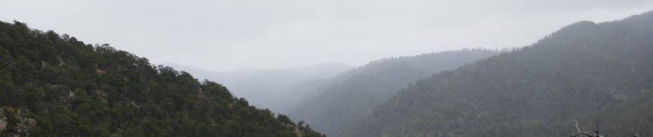
| Having recently hiked Little Tesuque Creek (the Little Tesuque Trail) and going left onto the La Piedra Trail towards the Dale Ball Trails, for this hike our plan was to continue on the Juan Trail to the junction with the Saddleback Trail, and take Saddleback as far as we wished. The weather was a bit wintery, cloudy and almost cold with the chance for snow. |
The Hike
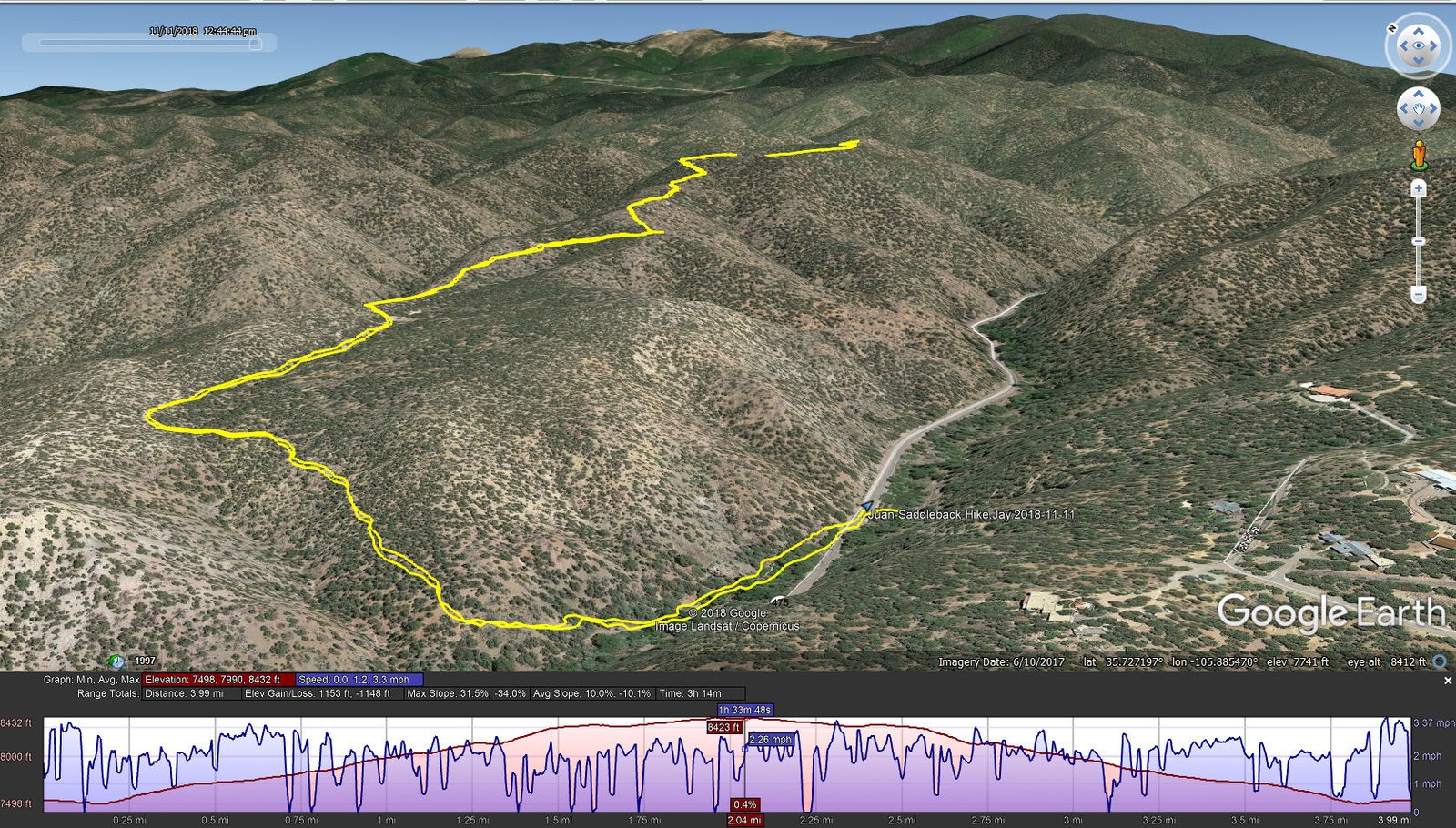
Juan-Saddleback Hike.Jay.2018-11-11
Little Tesuque Creek had a nice flow of water, no doubt melt from recent snow storms; the sound of running water always adds a nice touch. Leaving Little Tesqueu, (about .2 miles) we started uphill on a well used trail. At about .8 miles we attained the top of the ridge where Juan Trail descended into a canyon going northwest to join the Winsor Trail and Saddleback turned to the east.
Saddleback Trail continues on top of this ridge. We encountered some snow in shaded areas left over from recent snowstorms. We continued for a mile as snow flurries came and went, providing occasionally nice views across Santa Fe and to the north towards Tesuque and Espanola. We found a nice spot for our mid-hike break, warmed up with coffee and a nip of tequila, then headed back. ‘Twas a nice hike, and nice day for hiking.
Jay here: There has to be at least one hike each winter where the snow flies and this was the one for 2018. The flakes started out small but then got fat as we were along the saddle ridge. The tequila proved to be helpful when we stopped for coffee break. When you’re not moving, you’re not generating any body heat, so the tequila is the ideal cure for a/the cold.
Statistics
Total Distance: 3.99 miles
Elevation: start 7,537 ft, maximum 8,432 ft, minimum 7,498 ft
Gross gain: 934 ft. Aggregate ascending 1,153 ft, descending 1,148 ft
Maximum slope: 32% ascending, 34% descending, 10.0% average
Duration: 3:14
| GPS Track Files for Download | |
227 Downloads | |
|---|---|
183 Downloads | |
I urge you to explore our hiking tracks with Google Earth. With the virtual 3-dimensional presentation, achieved by panning and tilting the view, you can get a much better idea of the hikes and terrain than you can get from the 2-dimensional screenshot above. For assistance: Using Google Earth Track Files.
References
Hiking Project: Juan Trail
Saddleback Trail


