
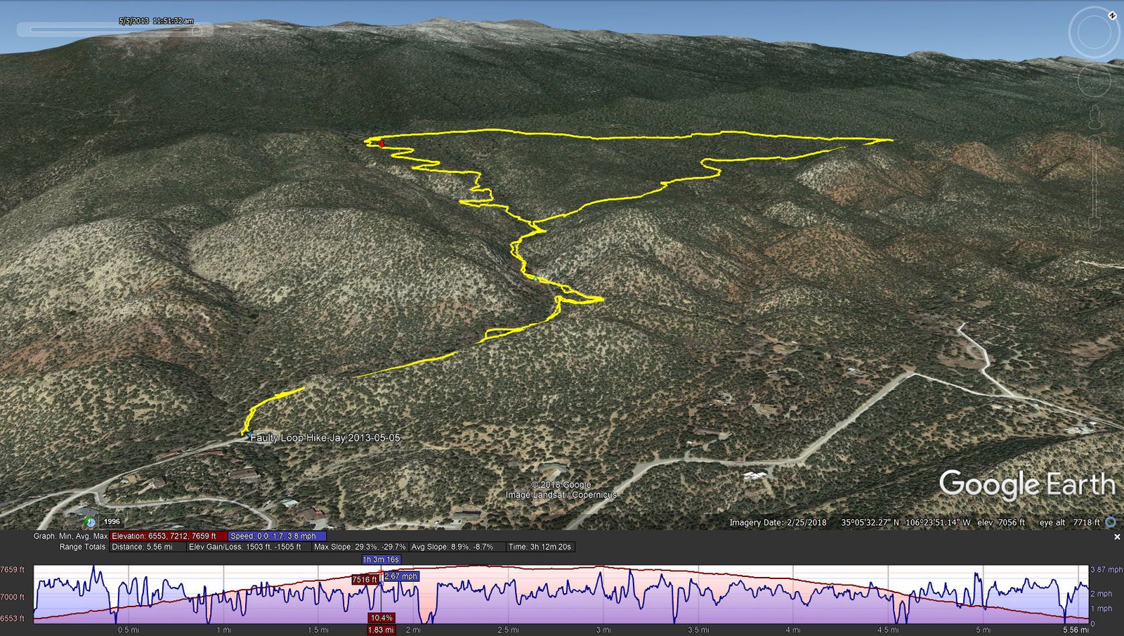
Faulty Loop Hike.Jay.2013-05-05
 This is a catch-up, posted in Feb 2019. One of our early hikes, checking out trails out of Tijeras, on the south end of the Sandia Mountains.
Statistics
Total Distance: 5.56 miles
Elevation: start 6,555 ft, maximum 7,659 ft, minimum 6,553 ft
Gross gain: 1,106 ft. Aggregate ascending 1,503 ft, descending 1,505 ft
Maximum slope: 29% ascending, 30% descending, 8.9% average
Duration: 3:12
| GPS Track Files for Download | |
250 Downloads | |
|---|---|
166 Downloads | |
I urge you to explore our hiking tracks with Google Earth. With the virtual 3-dimensional presentation, achieved by panning and tilting the view, you can get a much better idea of the hikes and terrain than you can get from the 2-dimensional screenshot above. For assistance: Using Google Earth Track Files.
References
USDA Forest Service:
Canyon Estates Trailhead
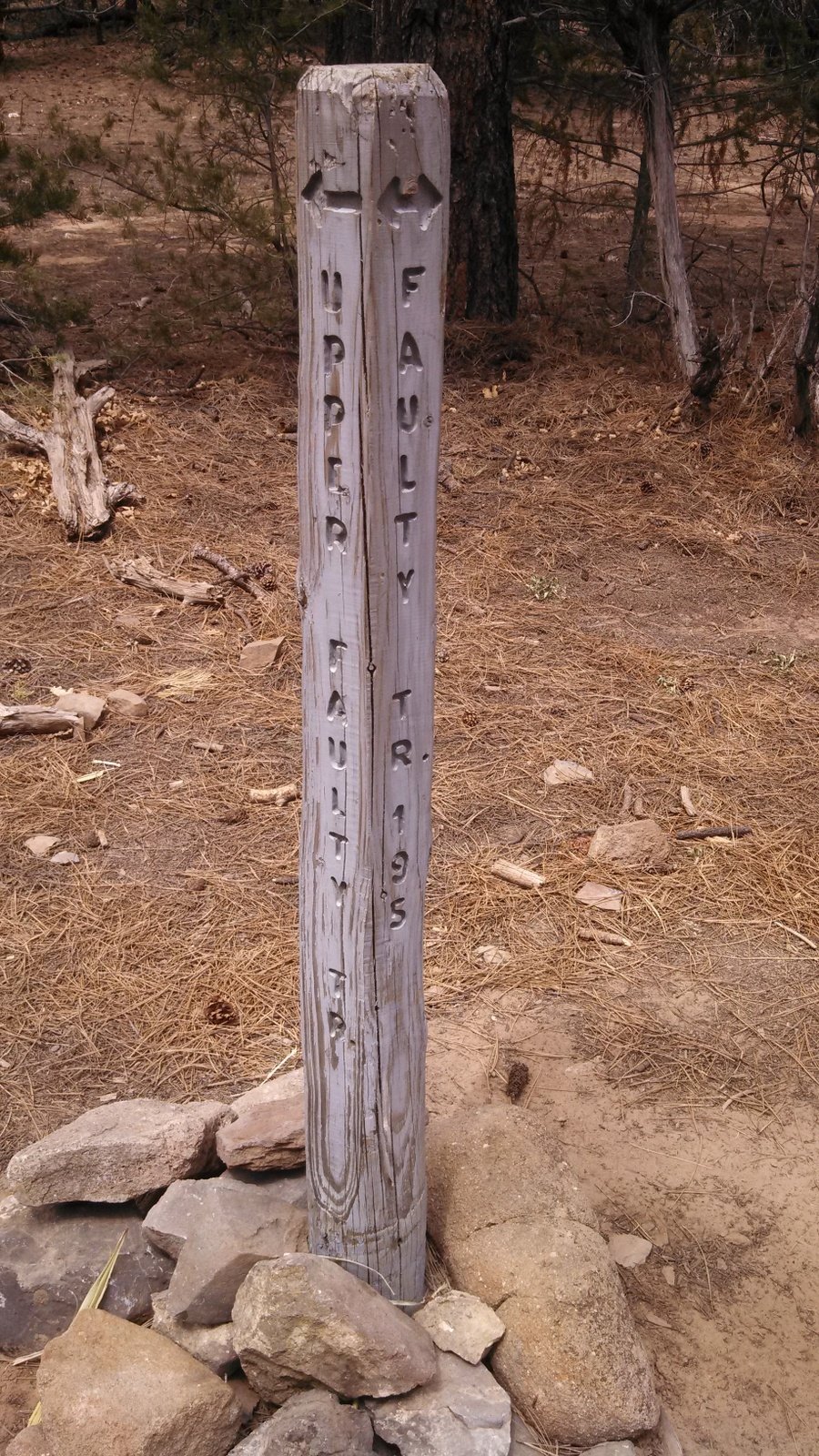
Faulty Trail 195
Sandia Mountain Hiking Guide: South Crest, Lower Faulty, Upper Faulty
AllTrails: Faulty Loop via South Crest Trail