We made plans to take our R-Pod camper to the Jemez Mountains for a ‘shakedown’ trip, not having used it in a year or so. Then, the day before our planned departure, we learned that the Forest Service was to -completely close- the Santa Fe National Forest to all visitors. No camping, hiking, fishing, .. all activities. This forced us to quickly make alternate plans; we decided to head west, to Grants and visits to reconnoiter campgrounds at Bluewater Lake and Mount Taylor. So off we went, set up the R-Pod at the KOA in Grants (’tis a nice campground, ‘tho a bit expensive), and we headed to Bluewater lake (and to Mount Taylor the next day).
First, this is a quite nice lake for New Mexico. ‘Tis said the fishing is good (nice perimeter around the lake, some of which one can drive upon), and the State Park Campground is also quite nice. The campground is divided into 3 sections; Pinon Cliff has some great views of the lake, las Tusas has some sites with views (all non-electric). Canyonside and Upper Electric Loop are away from the lake, but the latter does have electric hookups. We inventoried the sites for future reference (one can make reservations for many of the sites).
The Hike
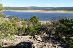
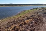
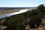
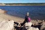
Since our goals included hiking, we set out from the end of the access road on a two-track that runs along the north side of the lake. ‘Twas an easy, pleasant hike as the two-track was away from and above the water affording great views of the lake and surrounding hills. And we made a foray down a side-track to the water where we relaxed a bit with the gentle sounds of small waves coming ashore (brought back fond memories of fishing trips with my Dad as a kid at similar lakes in northwest Kansas).
Statistics
Total Distance: 1.42 miles
Elevation: start 7,421 ft, maximum 7,567 ft, minimum 7,381 ft
Gross gain: 184 ft. Aggregate ascending 401 ft, descending 401 ft
Maximum slope: 19% ascending, 22% descending, 6% average
Duration: 1:41
| GPS Track Files for Download | |
197 Downloads |
|
|---|---|
110 Downloads |
|
I urge you to explore our hiking tracks with Google Earth. With the virtual 3-dimensional presentation, achieved by panning and tilting the view, you can get a much better idea of the hikes and terrain than you can get from the 2-dimensional screenshot above. For assistance: Using Google Earth Track Files.
References
New Mexico State Parks: Bluewater Lake State Park
ReserveAmerica: Bluewater Lake, NM
NM Buerau of Geology and Mineral Resources: Bluewater Lake State Park


