
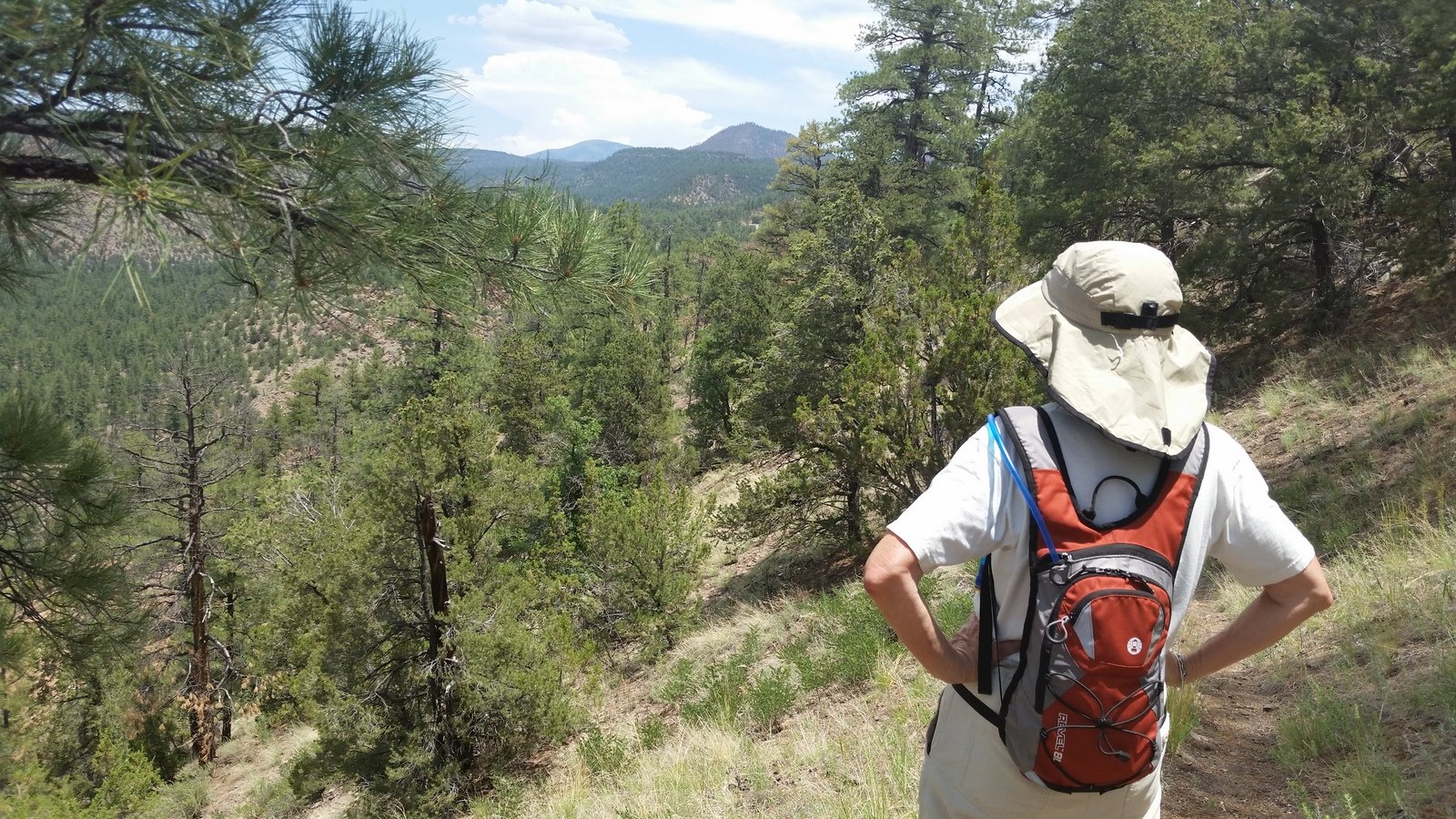
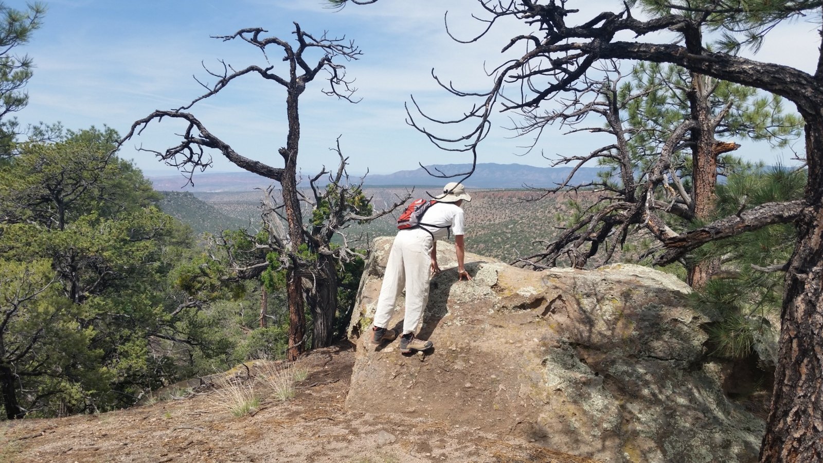
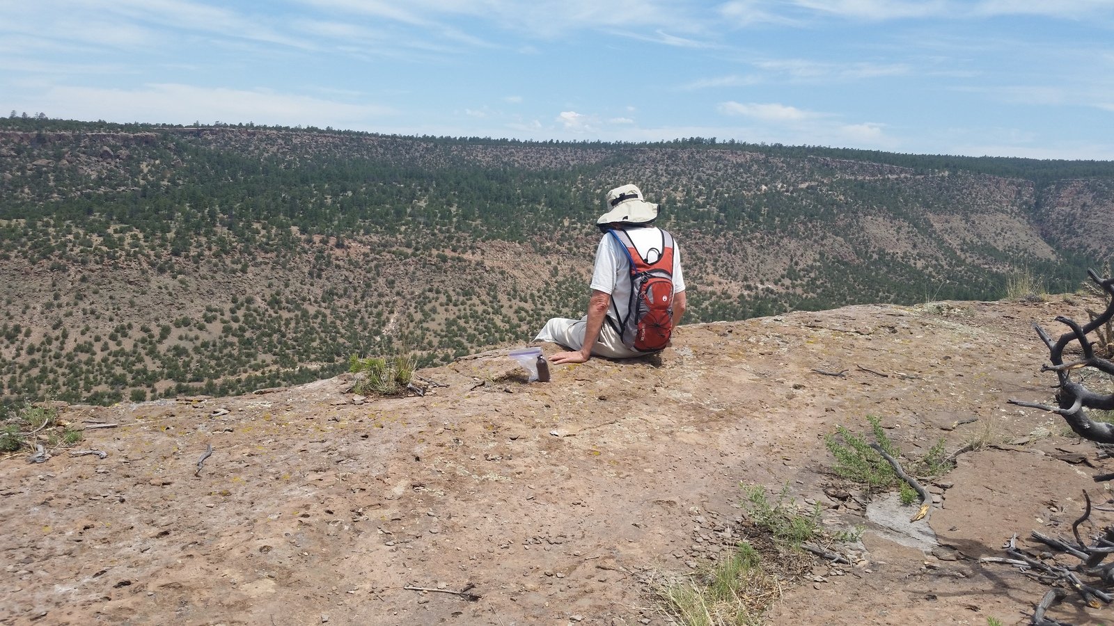
I’m posting this report -long- after we made this hike. It may have been our first visit to Boletsakwa Ruins.
The Hike

Boletsakwa Hike.Pat.2015-07-01
Statistics
Total Distance: 2.80 miles
Elevation: start 7,218 ft, maximum 7,305 ft, minimum 7,131 ft
Gross gain: 174 ft. Aggregate ascending 644 ft, descending 643 ft
Maximum slope: 42% ascending, 42% descending, 8% average
Duration: 3:17
| GPS Track Files for Download | |
135 Downloads |
|
|---|---|
81 Downloads |
|
I urge you to explore our hiking tracks with Google Earth. With the virtual 3-dimensional presentation, achieved by panning and tilting the view, you can get a much better idea of the hikes and terrain than you can get from the 2-dimensional screenshot above. For assistance: Using Google Earth Track Files.
References
OtherHand: Boletsakwa Ruins
Dog of the Desert: Boletsakwa in the Jemez Mountains
School for Advanced Research:
Archaeology of the Jemez Pueblo Revolt, Overnight in Jemez Springs
San Juan Basin Archaeological Society, Field Trip Report: Jemez Mountains (pdf)
Museum of New Mexico: … Archeology of the Jemez Province … (pdf)


Last Updated on October 16, 2022 by George Young