Leaving D and D’s Organic Haven headed for home, again we looked for an opportunity for a hike along the way. Heading north on US 180 from Glenwood, we “spontaneously” stopped at a small campground, and it looked promising.
The Hike
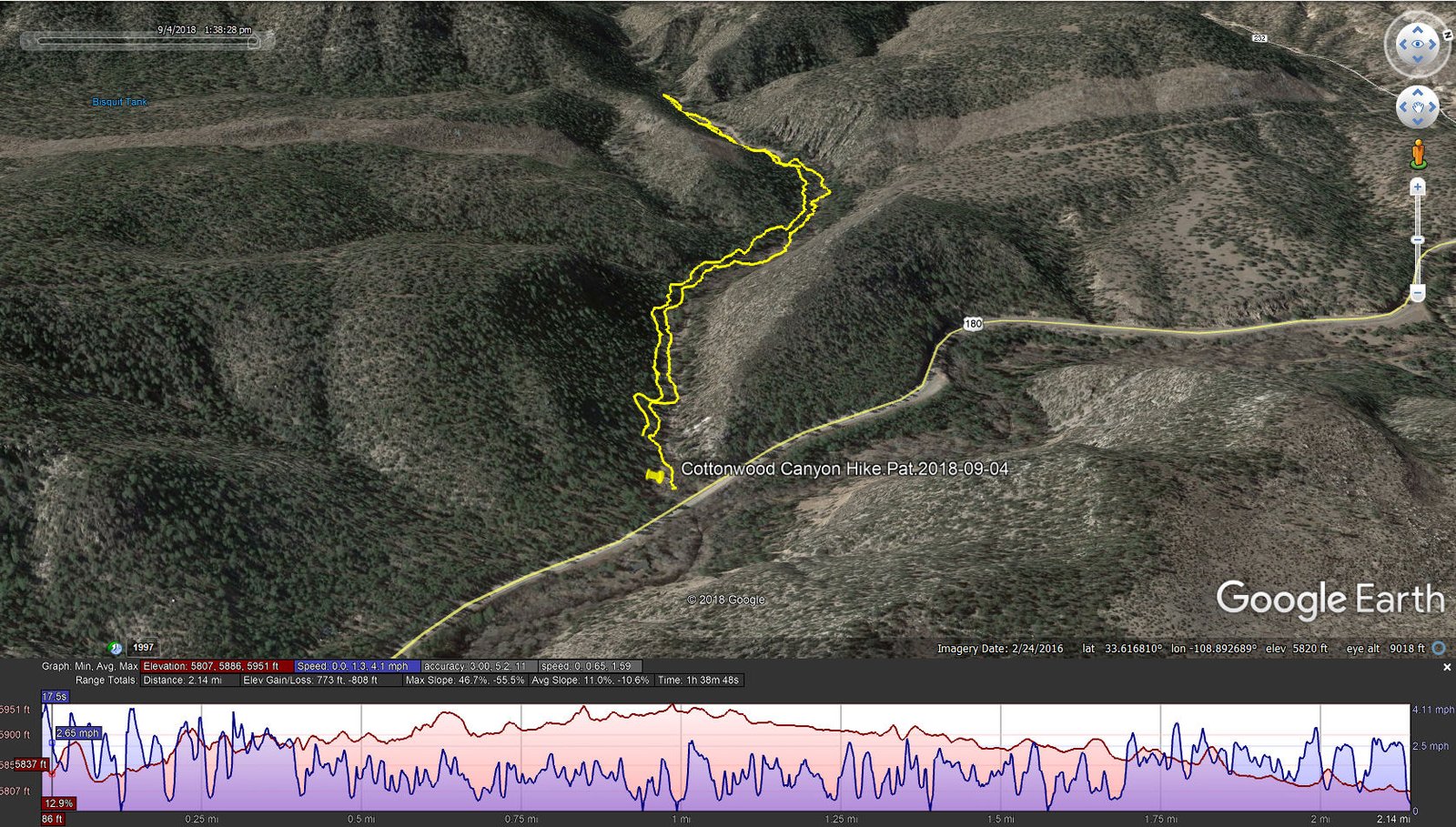
Cottonwood Canyon Hike.Pat.2018-09-04
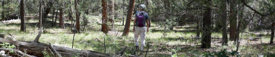
So up the canyo n we went. There was a two-track for a while, but then it was following along Cottonwood Creek. The canyon bottom was open forest, with some sections bounded by interesting rock faces. With the recent rains across New Mexico, there were many flowers in full bloom. ‘Twas a short hike, but we still had quite a drive ahead of us.
[I’m quite pleased with my new camera, a Panasonic Lumix DMC-ZS-100. It allows me to take photos the way I want to – it has a 20-1 zoom, giving me the 120 mm focal length that suits me so well. And auto-focus that works quite well for “close up” (with the zoom) or it’s macro feature. I still use my phone, a Galaxy S-5 particularly for panorama photos, but the Lumix has become my go-to camera.]
Statistics
Total Distance: 2.14 miles
Elevation: start 5,807 ft, maximum 5,951 ft, minimum 5,807 ft
Gross gain: 144 ft. Aggregate ascending 773 ft, descending 808 ft
Maximum slope: 47% ascending, 56% descending, 11% average
Duration: 1:39
| GPS Track Files for Download | |
241 Downloads | |
|---|---|
165 Downloads | |
I urge you to explore our hiking tracks with Google Earth. With the virtual 3-dimensional presentation, achieved by panning and tilting the view, you can get a much better idea of the hikes and terrain than you can get from the 2-dimensional screenshot above. For assistance: Using Google Earth Track Files.
References
Forest Service: Cottonwood Campground
HipCamp: Cottonwood Campground


