I joined Jay in Santa Fe for a quick day hike followed by a good beer at his place.
The Drive In
Drive up Hyde Park Road (NM 475) from Santa Fe to the Sierra del Norte Trailhead; there is a parking lot on the left of the road.
The Hike
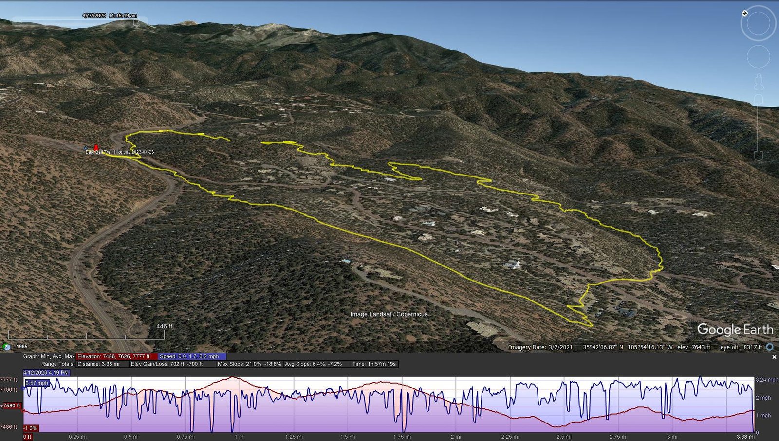
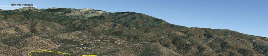
Dale Ball Trail Hike.Jay.2023-04-23
Notes about the Google Earth screenshot: the graph at the bottom shows elevation of the track (pink area) and speed (the blue line).
This hike was basically a clockwise loop from the Sierra del Norte Traihead: cross the road and bear left from Junction 13, then make sharp right turn towards Junction 14 where we turned left towards Junction 15. It was then 16, 22, 23, 25, 26, and 27, the southeast corner of the loop. heading west and north to 24, then 20, 18, 12, and back to 13 and the parking lot. (I just follow Jay’s lead through this maze of trails.)
Dale Ball trails are well used, involve some “ups and downs”, and have generally an easy trail surface. There are some short steep stretches and at times the trail is on a steep slope, just right for some good exercise (distance and climb & descents) and balance on those side-hill sections. But any of this web of trails in the Dale Ball make a good workout and typical New Mexico through scrubby juniper/piñon pine “forest”.
Statistics
Total Distance: 3.38 miles
Elevation: start 7,580 ft, maximum 7,777 ft, minimum 7,486 ft
Gross gain: 291 ft. Aggregate ascending 702 ft, descending 700 ft
Maximum slope: 21% ascending, 19% descending, 6.8% average
Duration: 1:57
| GPS Track Files for Download | |
177 Downloads | |
|---|---|
176 Downloads | |
If you haven’t explored these hiking tracks with Google Earth, I urge you to try it. With the virtual 3-dimensional presentation, achieved by panning and tilting the view, you can get a much better idea of the hikes and terrain than you can get from the screenshot above. For some ideas, check out Using Google Earth Track Files.
Related Posts
Dale Ball Trails – Dorothy Stewart Trail Extended – 11/16/2022
Dale Ball Trails Hike – 08/25/2021
Nature Conservancy-Dale Ball Trails Hike – 02/26/2021
Dale Ball Loop North Trail Hike – 05/23/2019
Hiking in the Santa Fe area
References and Resources (** – recommended)
Santa Fe Conservation Trusts: Dale Ball Trail System
City of Santa Fe: Dale Ball Trails Map (pdf)
** Santa Fe County: Santa Fe Foothill Trails Map – 9/2018 (PDF)
AllTrails: Dale Ball Central Loop
Hiking Project: South Dale Ball Trails
Wikipedia: Dale Ball Trails
Inn on the Alameda: Eyes on the Ground: Hiking the Dale Ball Trails